
6 Days at Breaks Interstate Park (Kentucky & Virginia) - Day 3

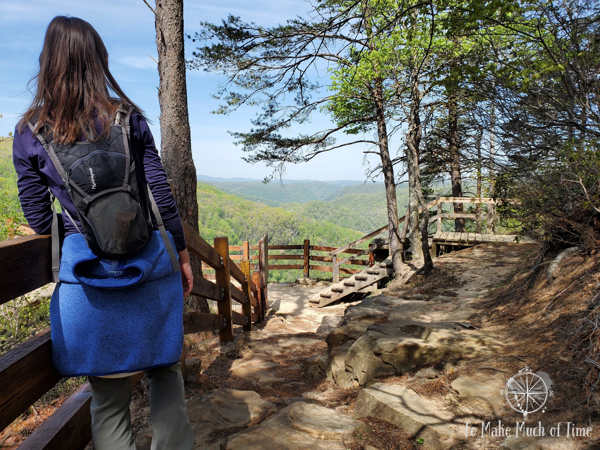
View from Overlook Trail at Breaks Interstate Park
UPDATED: 10/14/2025
Note: Some links throughout our site are affiliate links, which means we may receive a small commission at no cost to you.
This is the fourth post in a series for this trip. You can view links to the other posts at the bottom of this one.
breaks interstate park: visitor’s center and moonshine exhibits
We decided to start the morning off with our own created loop trail route, which we became quite good at during our time at Breaks Interstate Park! This loop-of-our-own-creation was a combination of four park trails, totaling 3 miles. To catch our first trail head, we drove the short distance to the visitor’s center. We were surprised that it was closed, having assumed its closure the first night of our arrival was due to the fact that it was nearly 6pm; however, it was closed upon our arrival at 9:30am and still at the end of our hike, around 11:30am. I later looked its schedule up and learned that it has limited hours during the off season. In searching online to learn more about the area, we happened upon a documentary about Breaks that was made a few years ago and saw a sign on the visitor’s center that they have a copy to show to guests so while the visitor’s center was never open during our time there, that might be enjoyable to others.
Even with the visitor’s center being closed, we were able to take in a few of the outdoor exhibits. They had a series of barrels/containers for a moonshine still and a recipe that described the entire process start-to-finish, which is more complicated than I would have thought. The recipe provided for either corn or sugar as the basis for the liquor where 1 bushel of corn would produce 0.75 to 1.5 gallons of moonshine and 1 bushel of sugar would produce 6 gallons. The first step is the mash process of turning the original substance (i.e., corn or sugar) into beer though a 10-day fermentation process. When that beer is ready, the still is closed off with a paste made from rye flour and then the container is heated. This passes steam and alcohol vapor through the three containers in the picture and the alcohol vapor ultimately condenses into a liquid at the end of the process. The resulting liquid has to be processed further as it has poisonous oils. In this second ‘run’ of the liquid, it turns clear and doubles in alcoholic proof. The various sections of liquid are processed until all have been turned into liquor of a proof of about 200. It is then watered down to the desired final proof.

Moonshine Still
Also next to the moonshine still was a salt kettle that was used to dry out and separate salt through evaporation. This particular salt kettle dates was discovered buried in 1961. It is believed to have been cast in 1860 in Marion, Virginia, and buried about four years later to hide it from Federal/Northern troops during the American Civil War.

Salt kettle at from the 19th century
And finally, immediately behind the Visitor’s Center is an original log cabin (not a replica) dating to 1838, when it was built in Lick Creek by the Count family. The log cabin is built from poplar trees and is similar to many frontier homes. A house this size - and yep, it’s small! - would have been large enough for a family of eight or more with a sleeping loft providing extra space. This particular log cabin was moved to its current spot in 1976 to be retained as part of the area’s history.

Count Family cabin from 1838
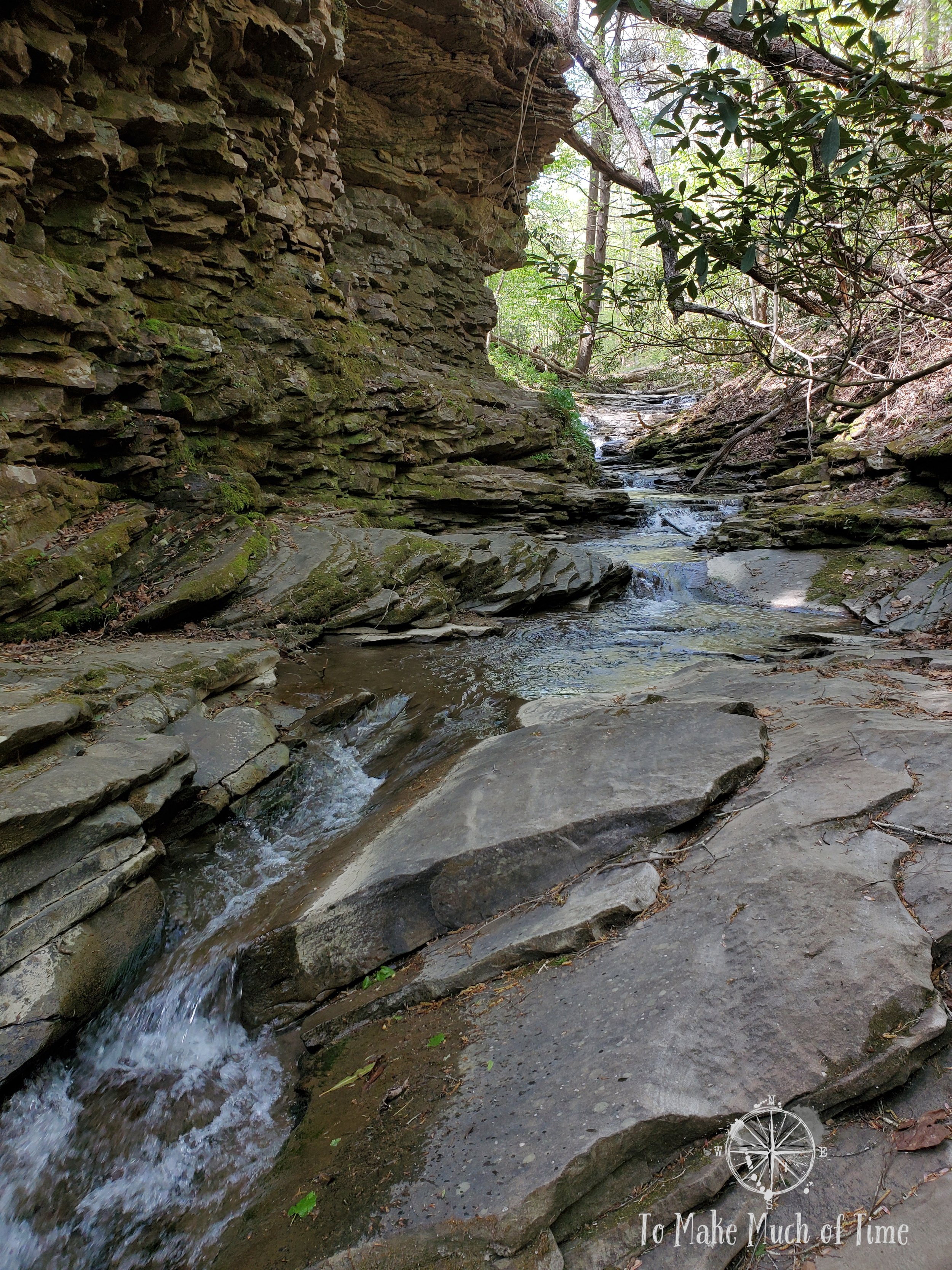
breaks interstate park: lake trail and laurel branch trail
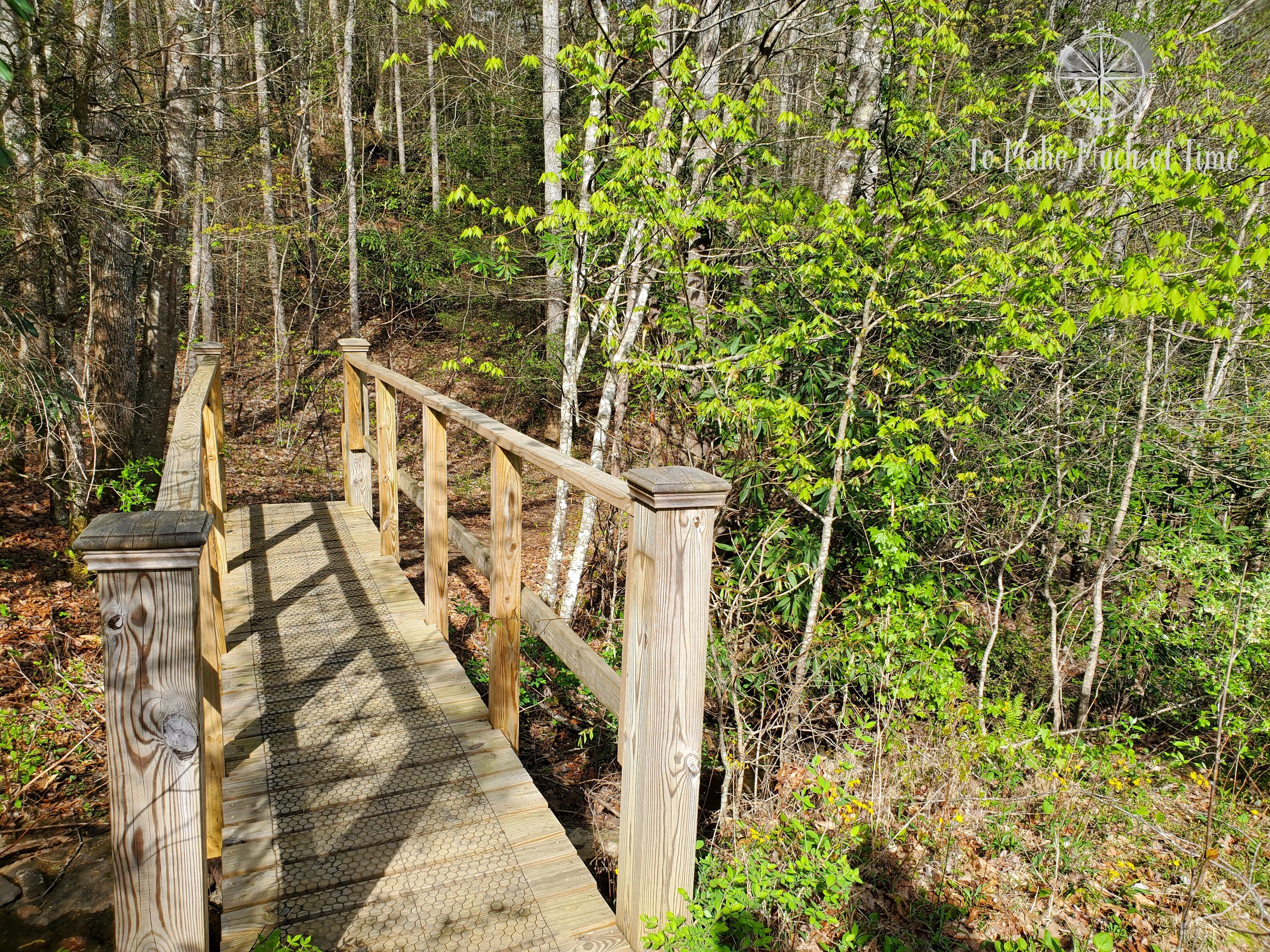
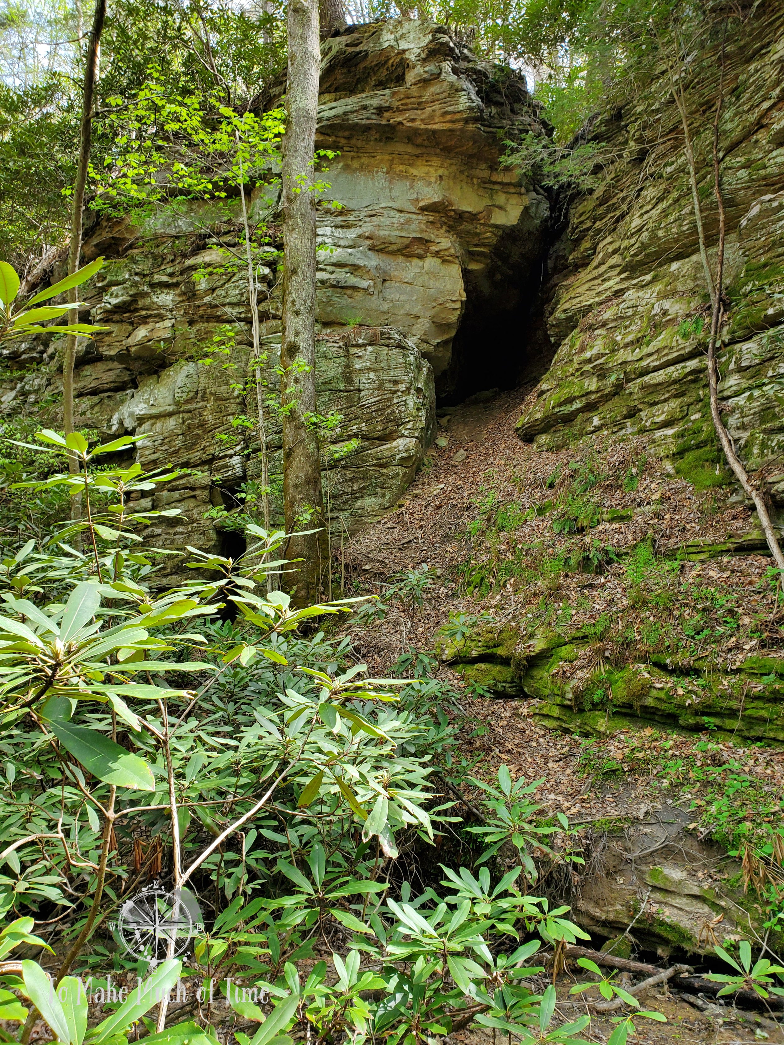
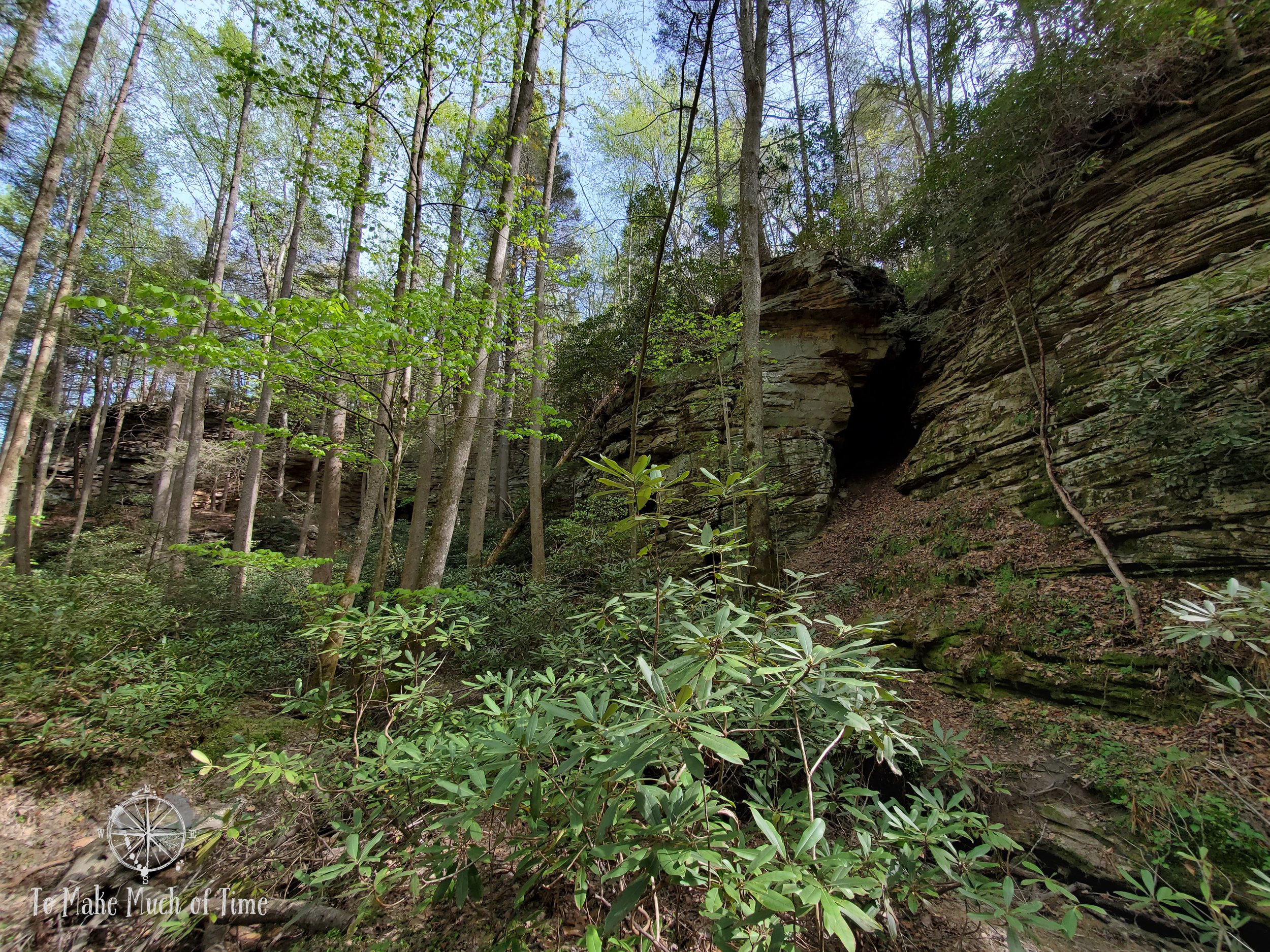
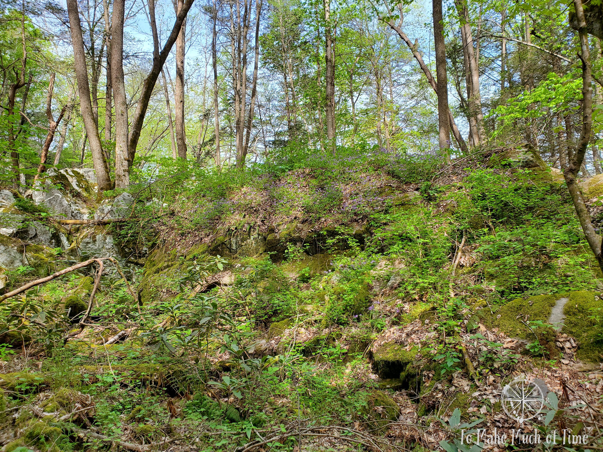
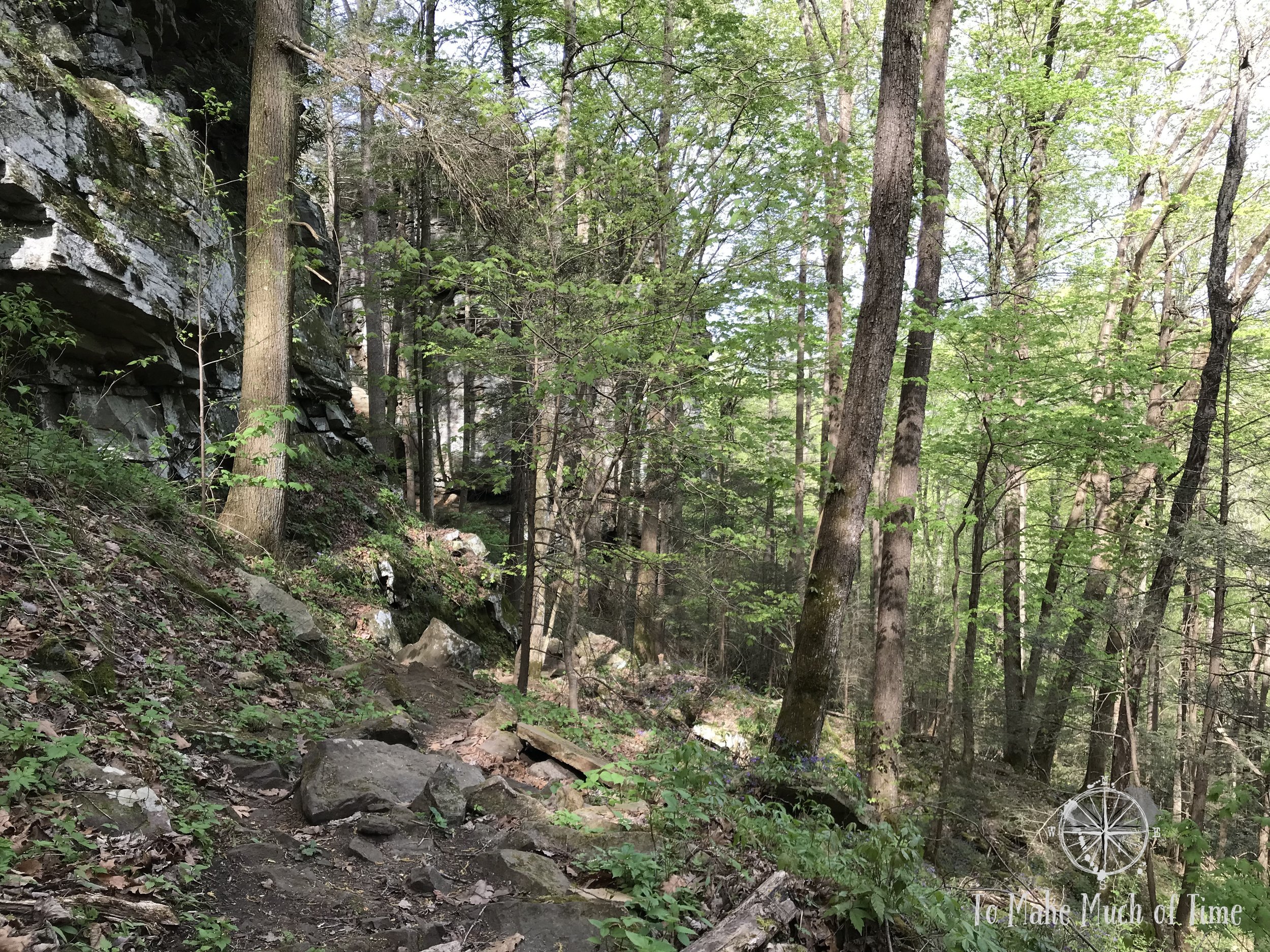
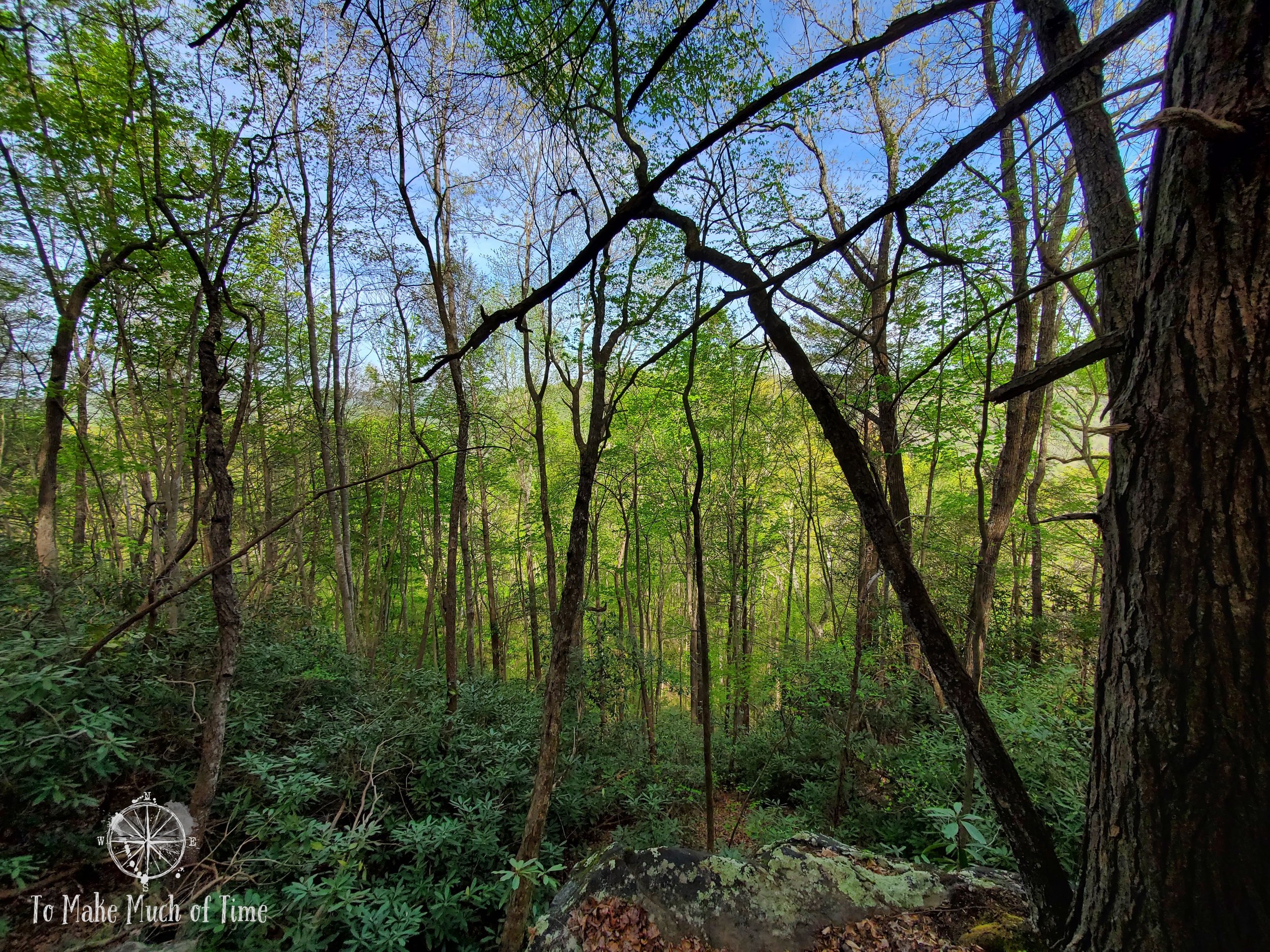
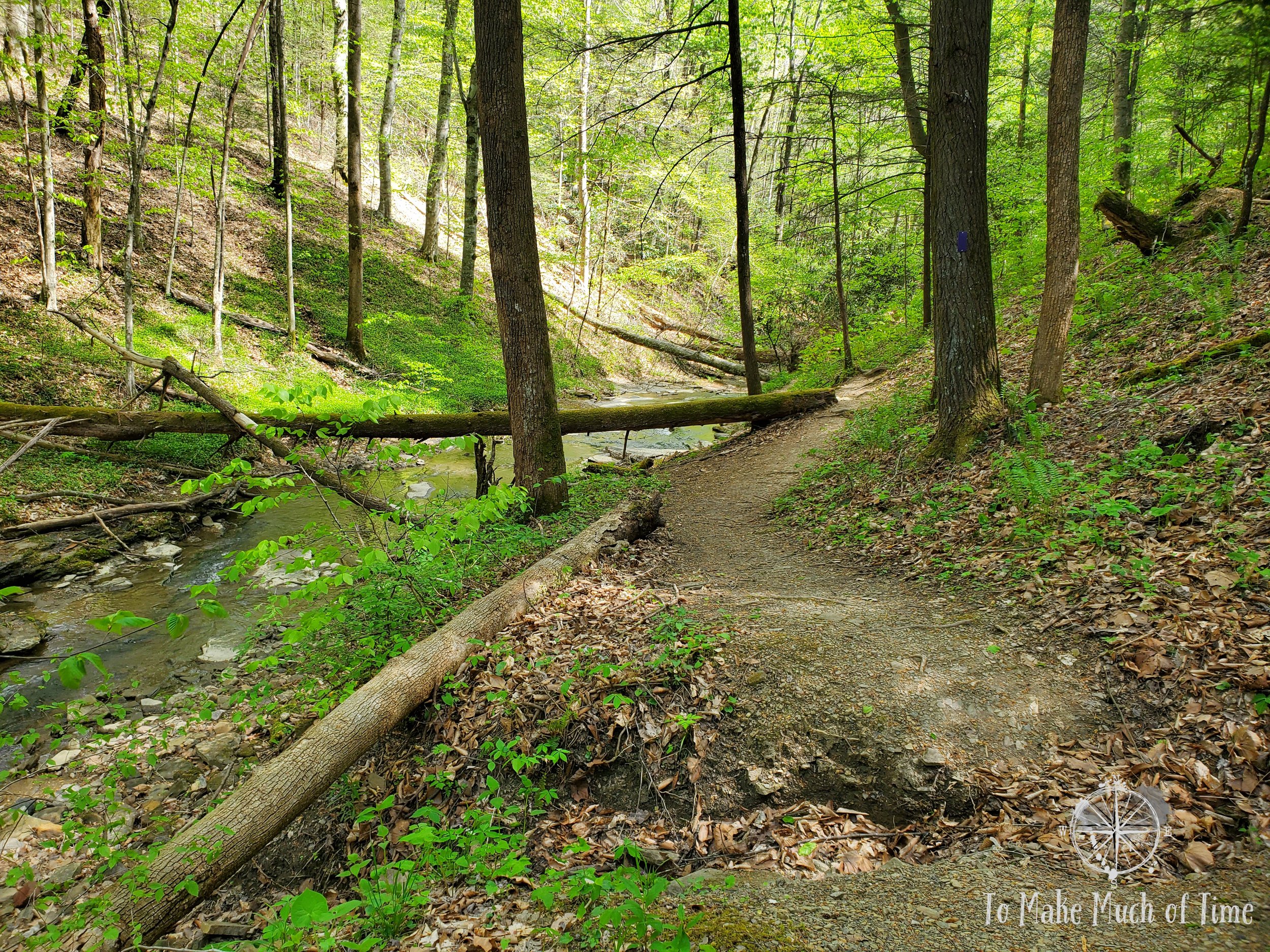
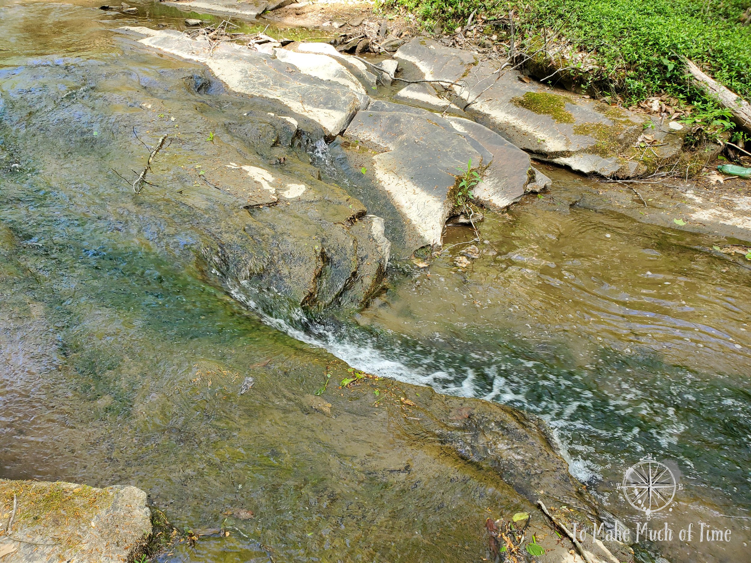
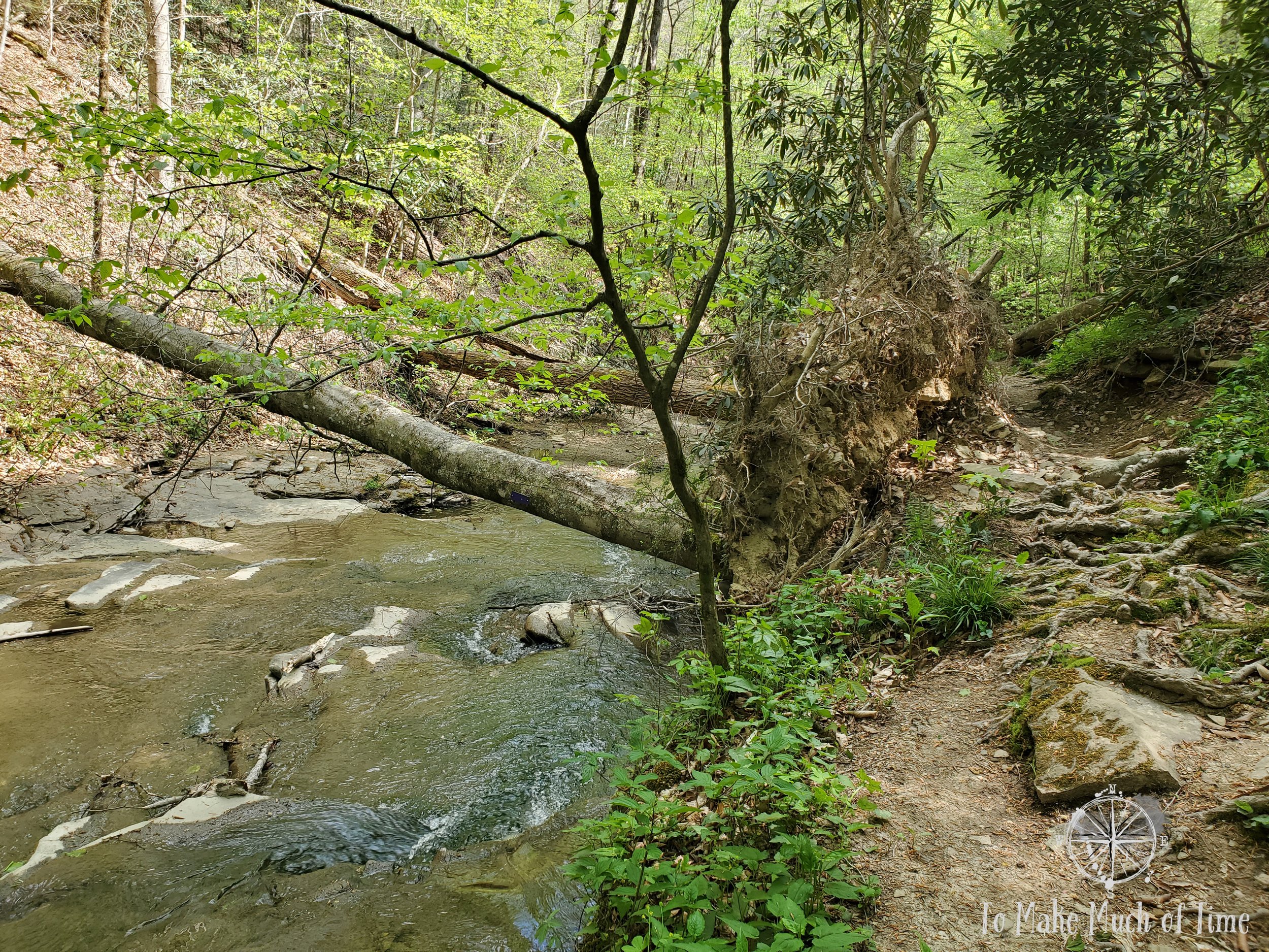
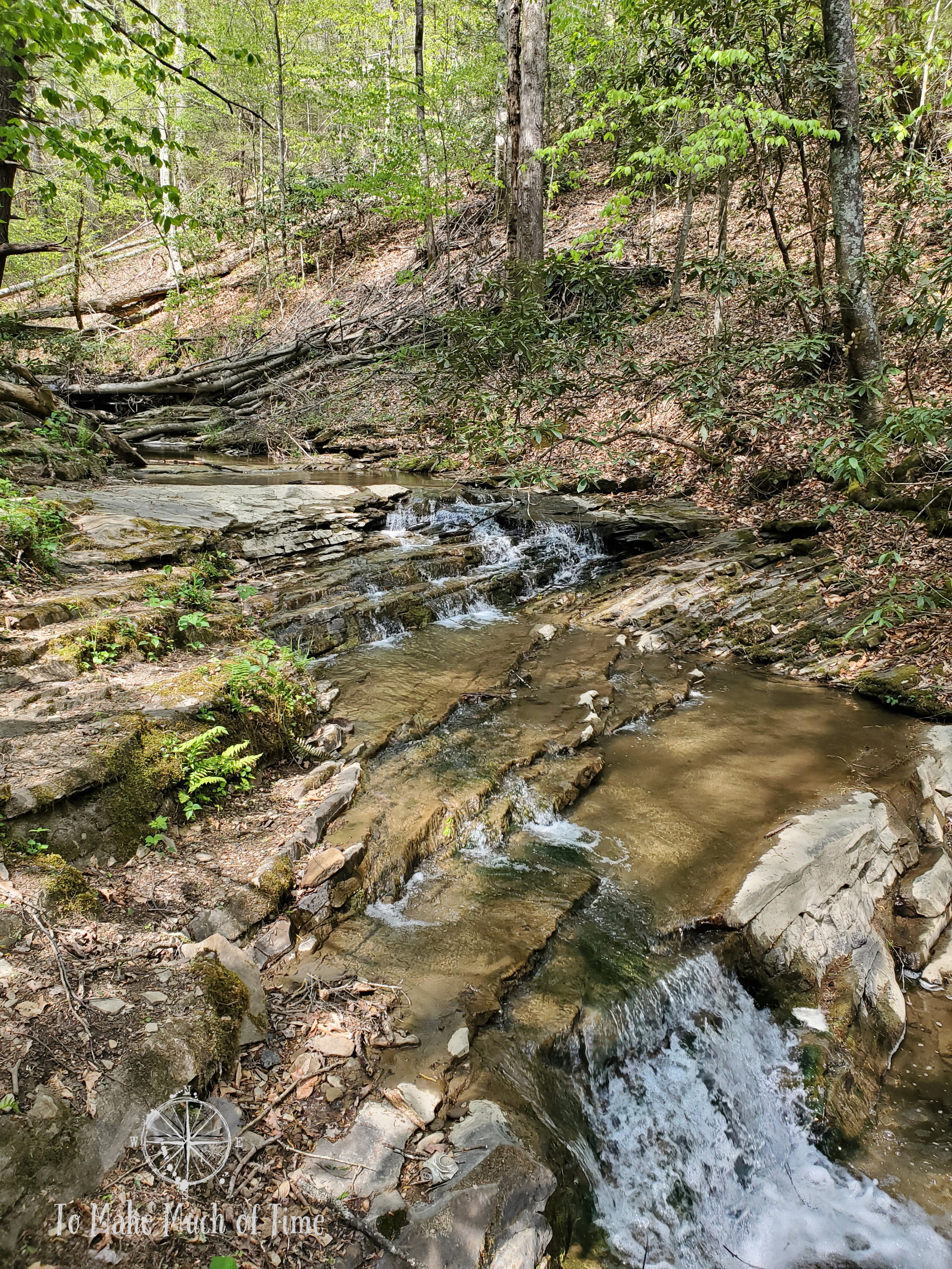
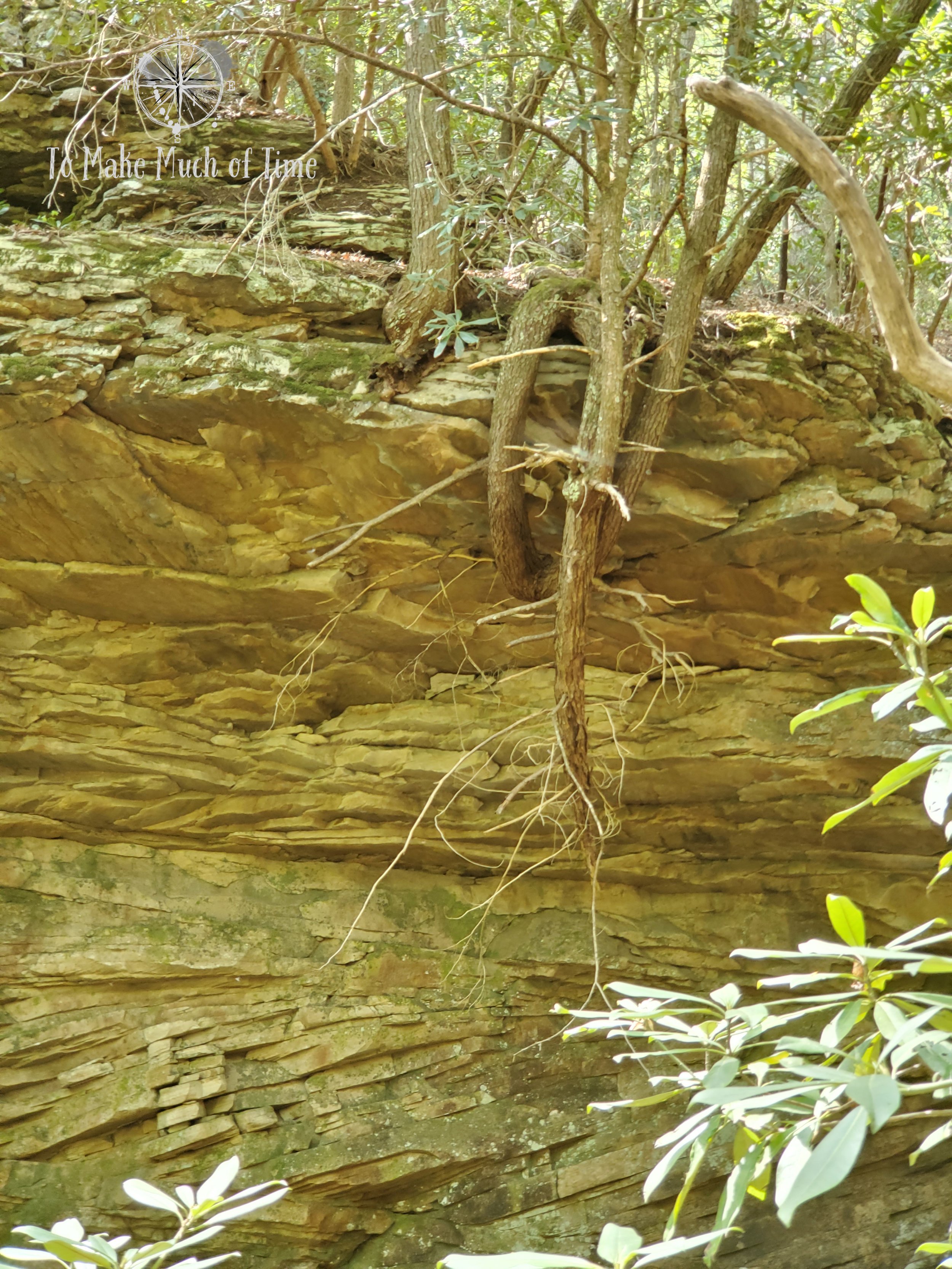
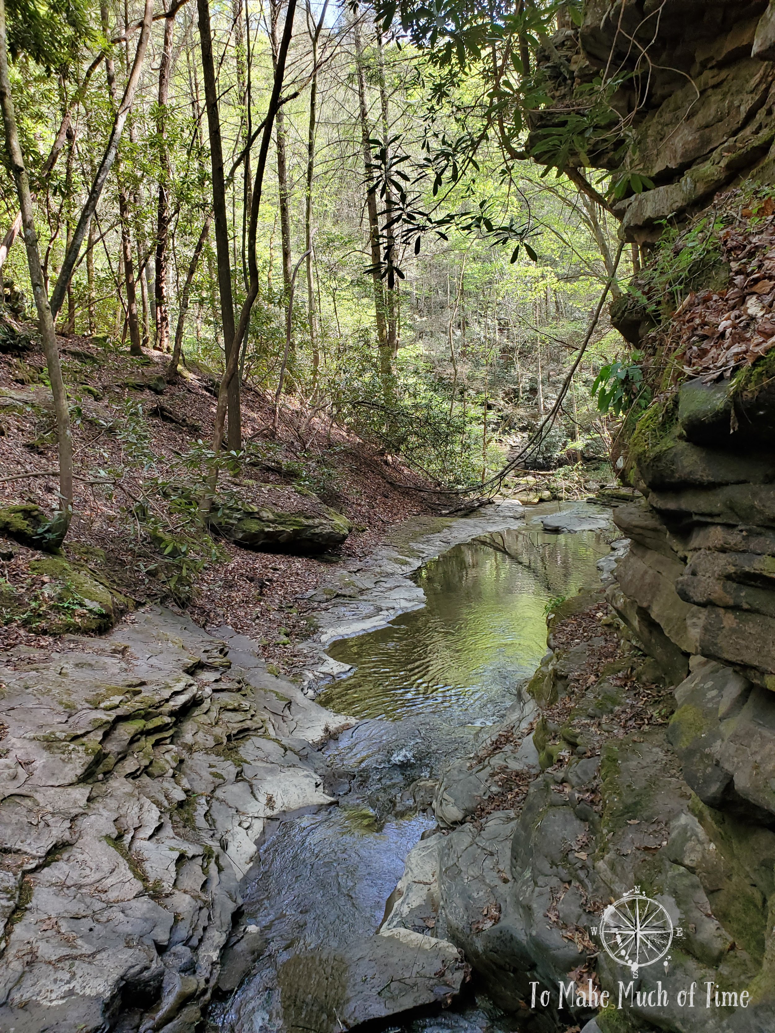
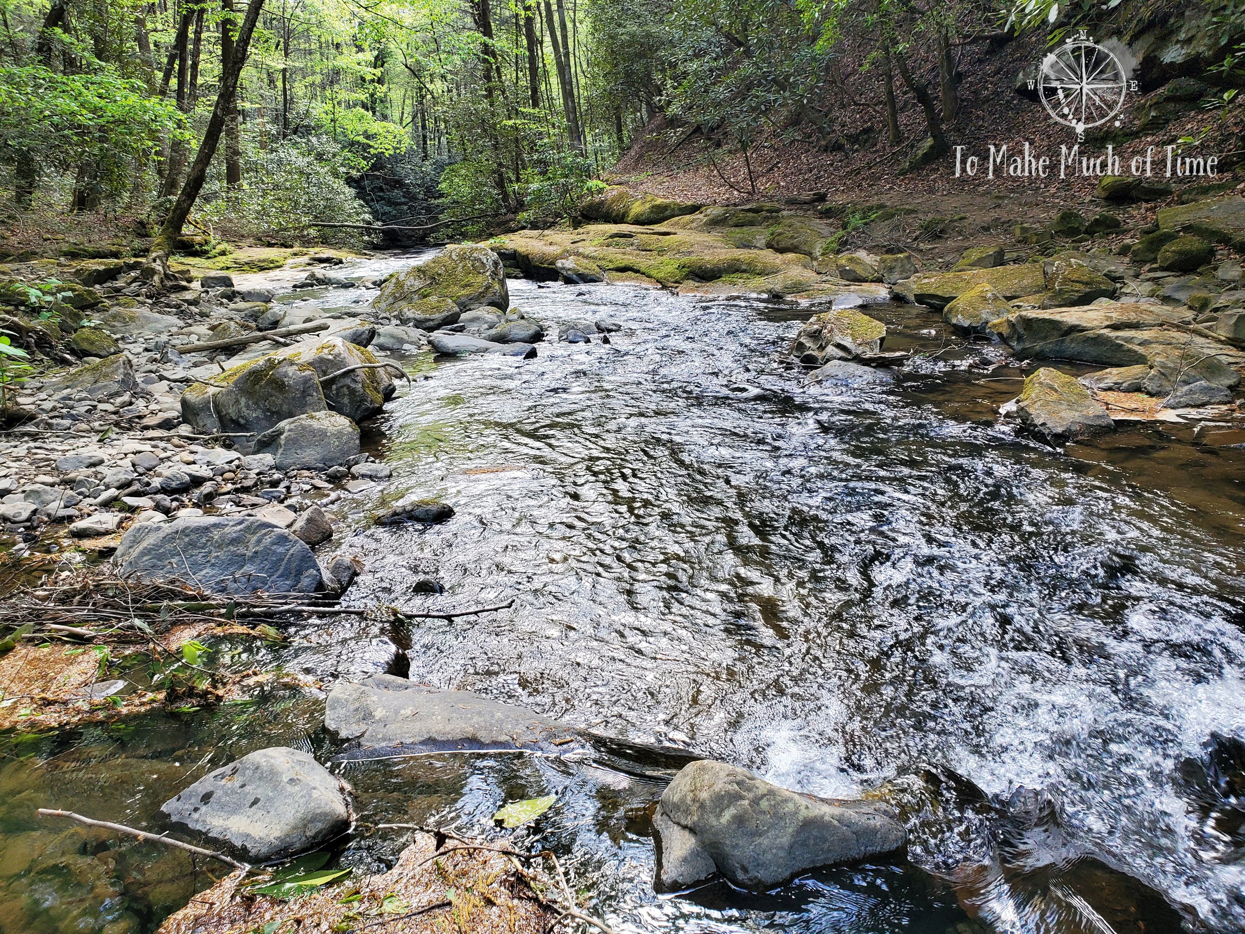
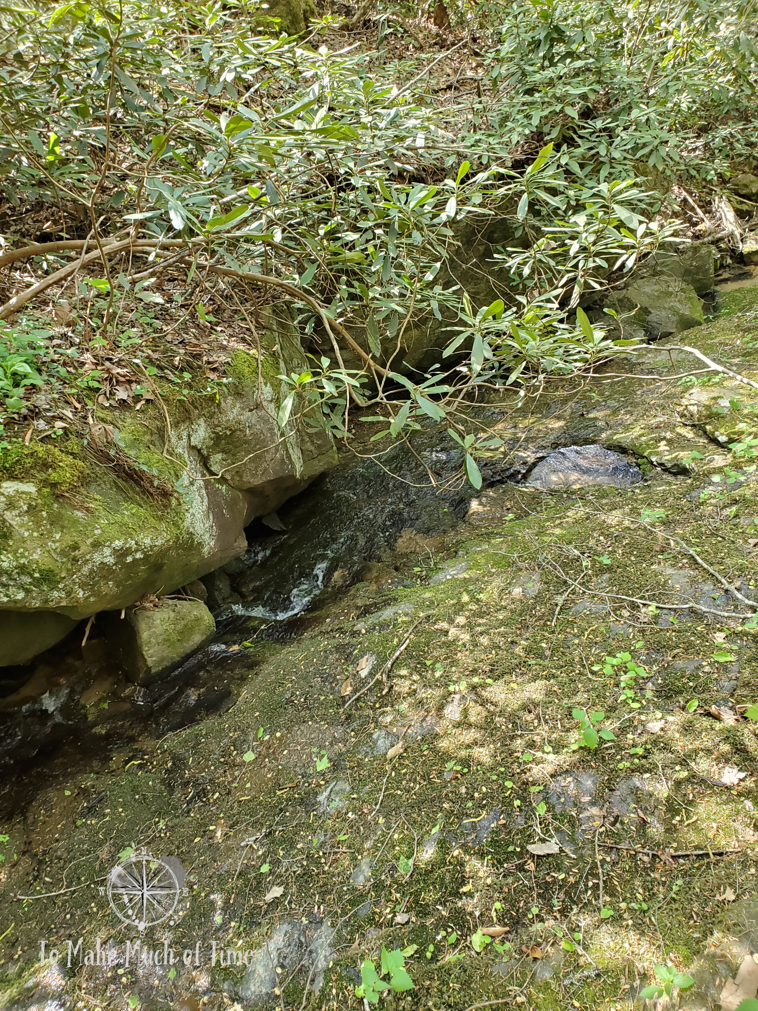
Behind the visitor’s center, we joined up with the Lake Trail, which is a 0.5 mile trail that runs along Laurel Lake, the same lake upon which the cabins sit. By joining up behind the visitor’s center, we did miss a small portion of the trail that runs the other direction from where we were headed. We followed along the lake shore before joining up with the Laurel Branch Trail, a beautiful walk through a mostly flat, rhododendron-filled area. It was a peaceful path and for the first time since arriving at the park, we passed one other hiker on the trail. There were numerous rock overhangs spotting the trail and a few very tiny streams of water that had bridges to cross.

View from Lake Trail on Laurel Lake

View from Lake Trail on Laurel Lake
Laurel Branch Trail at Breaks Interstate Park
breaks interstate park: geological trail
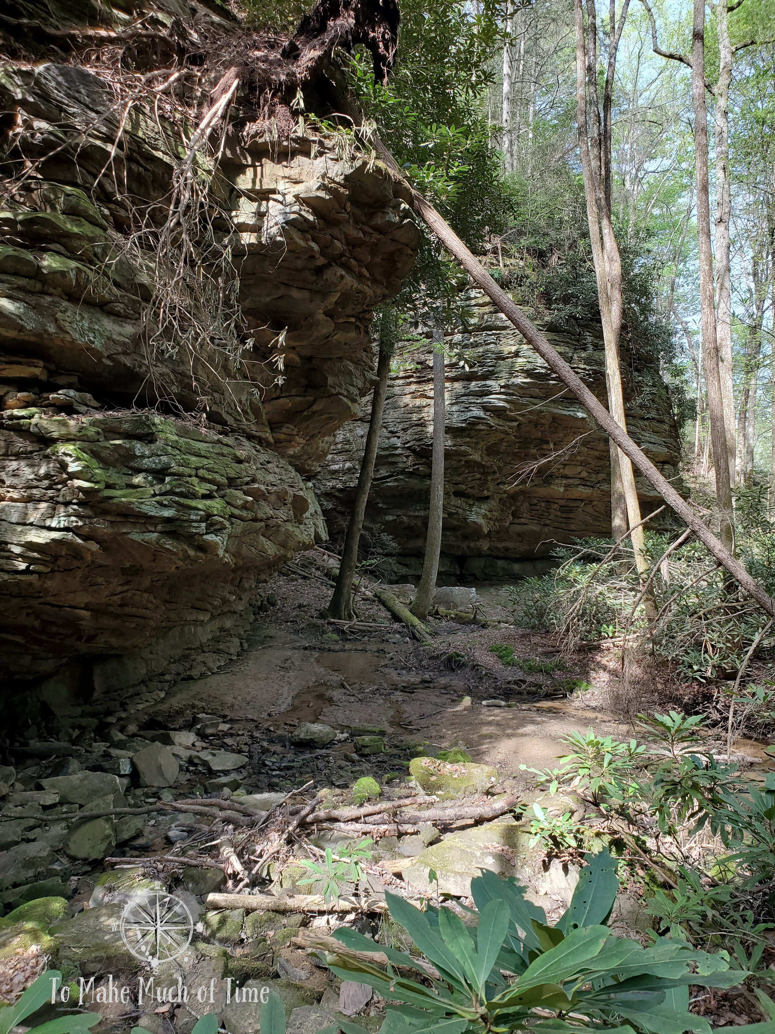
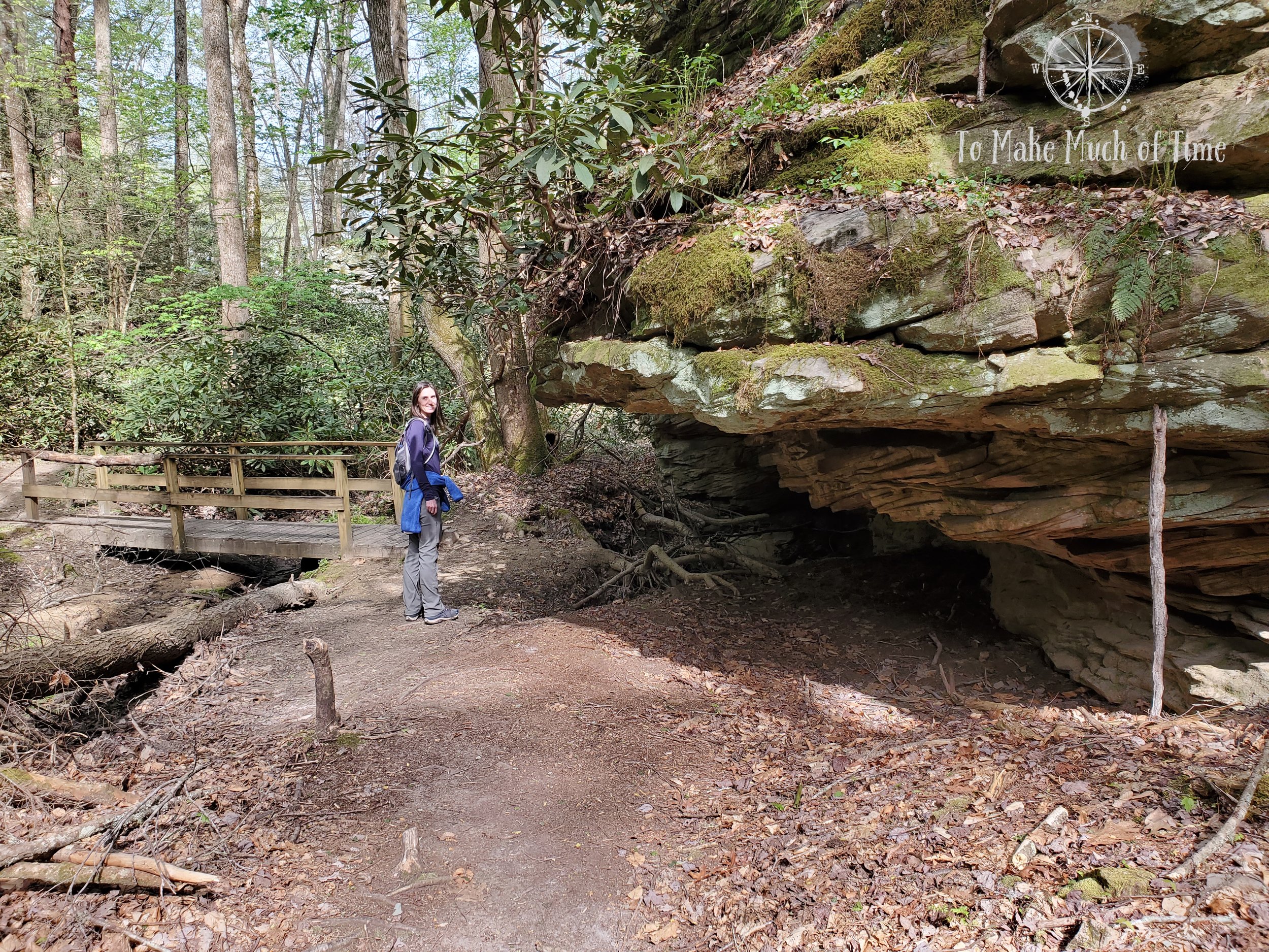
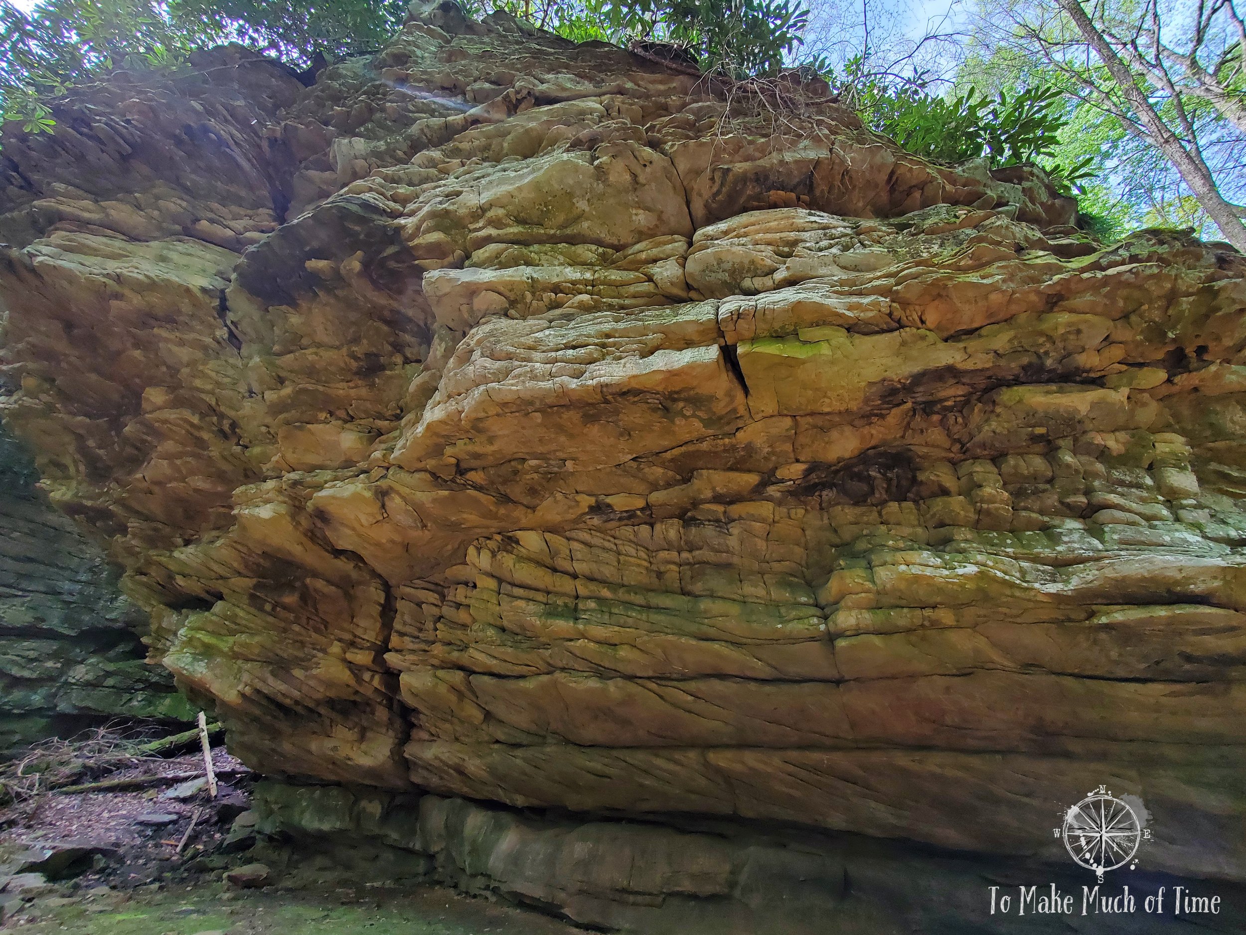
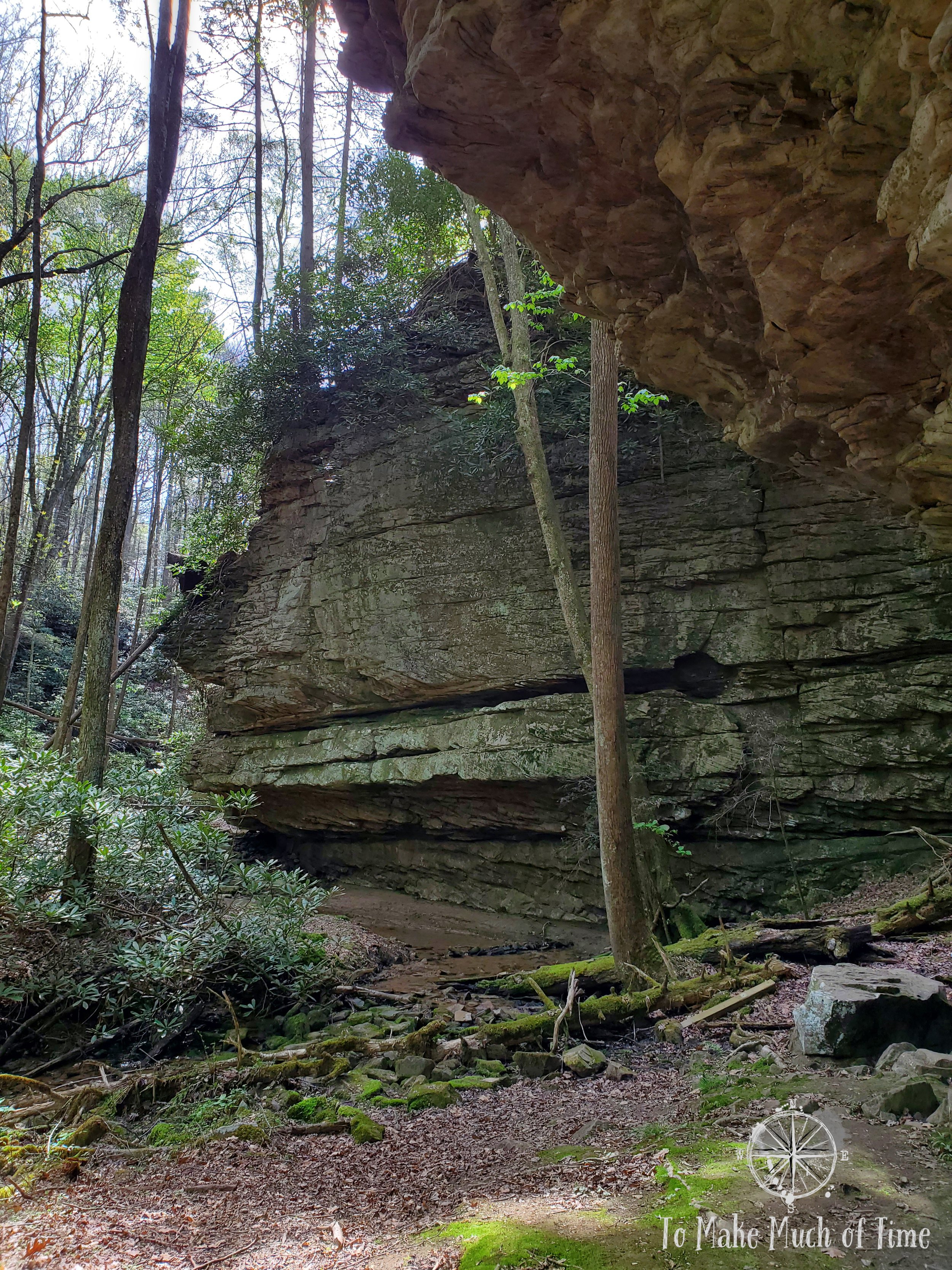
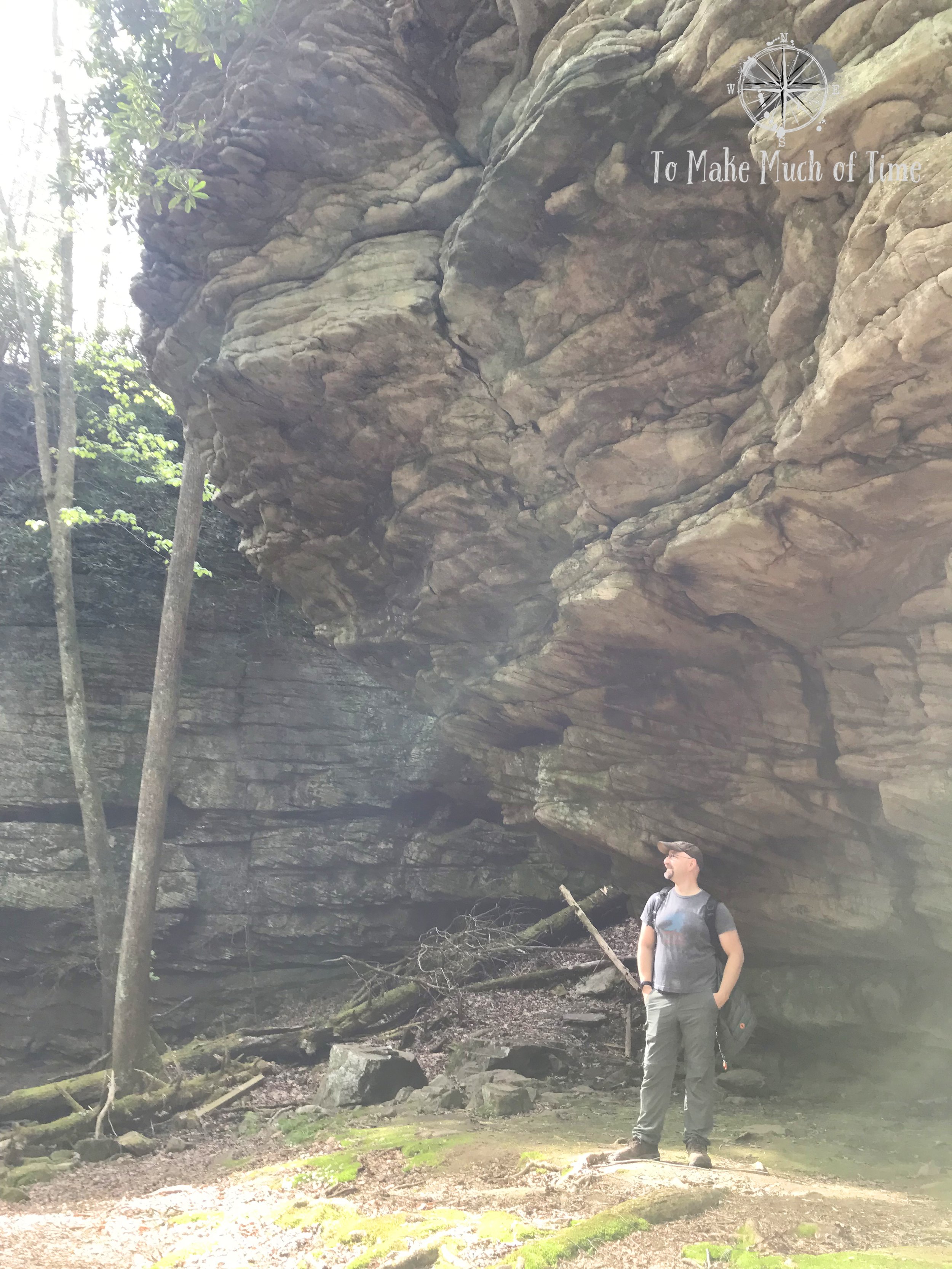
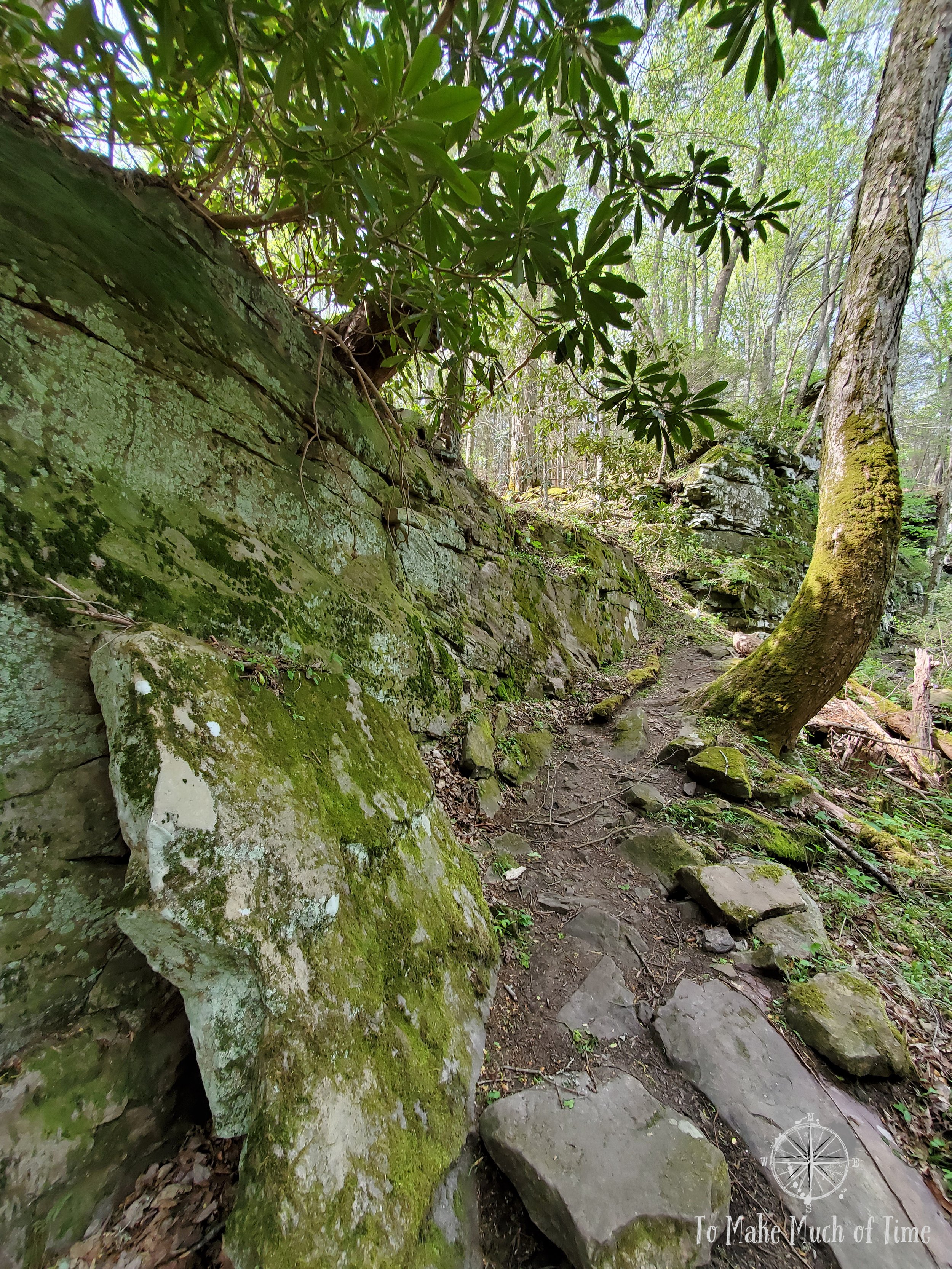
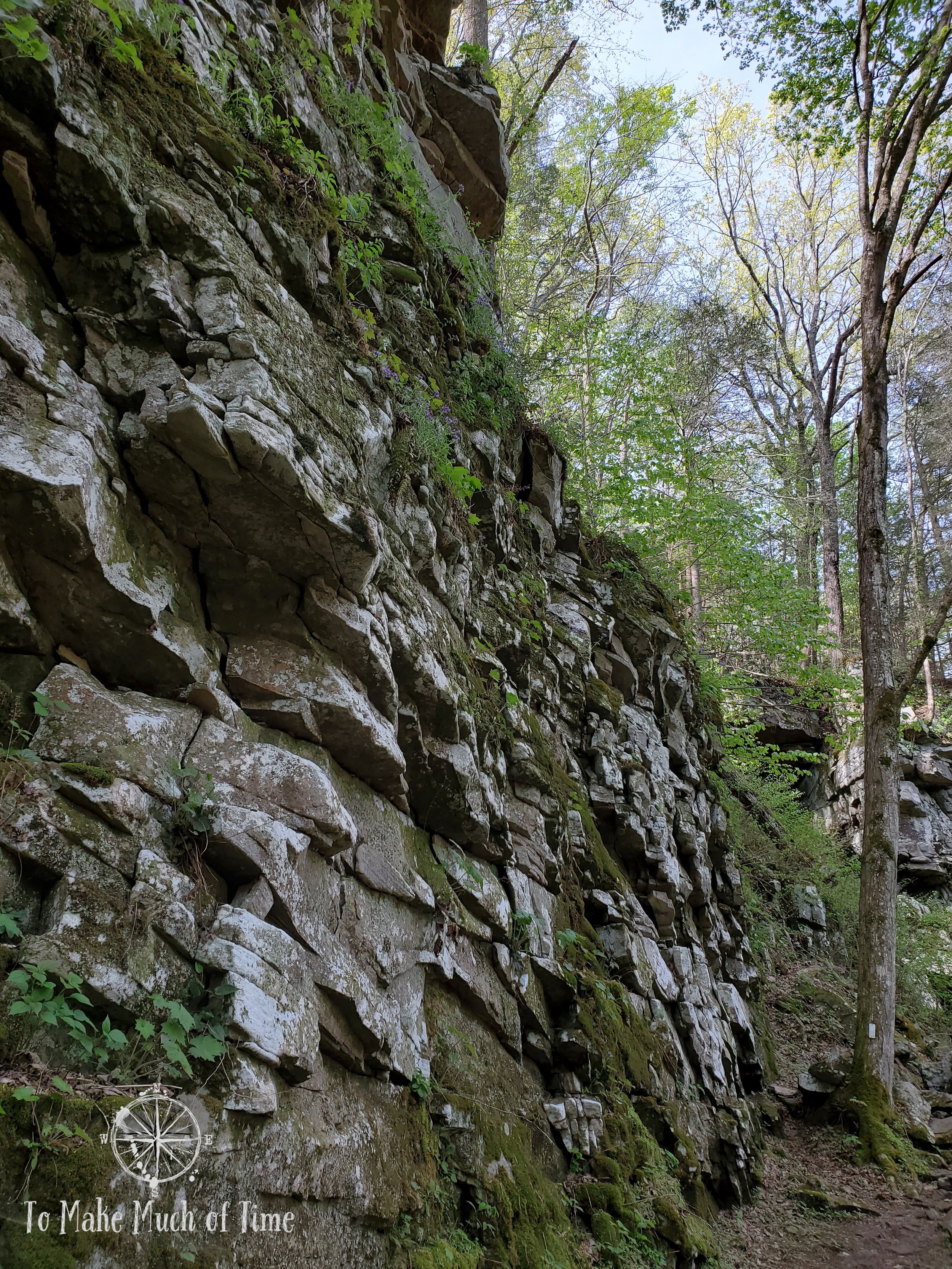
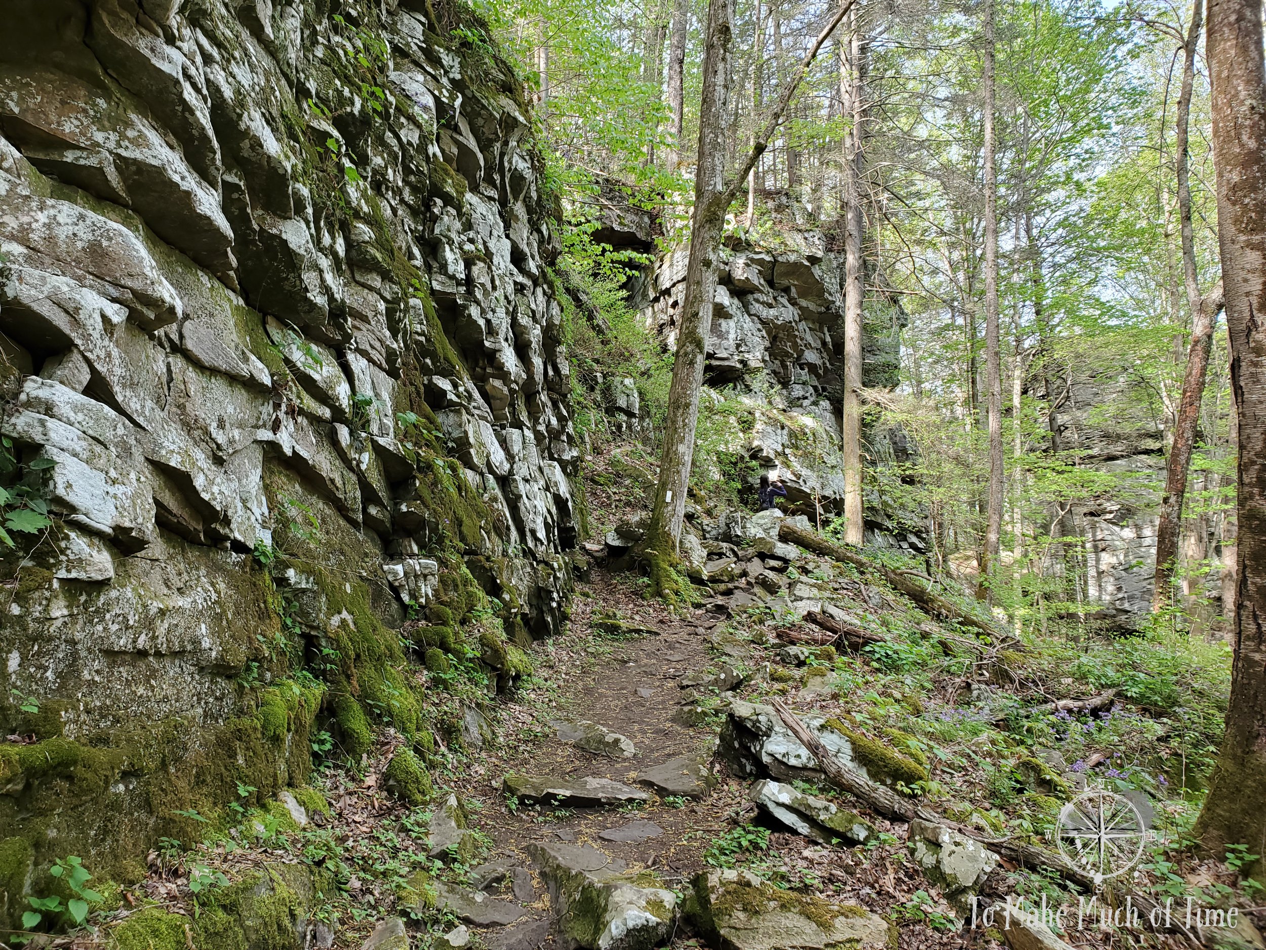
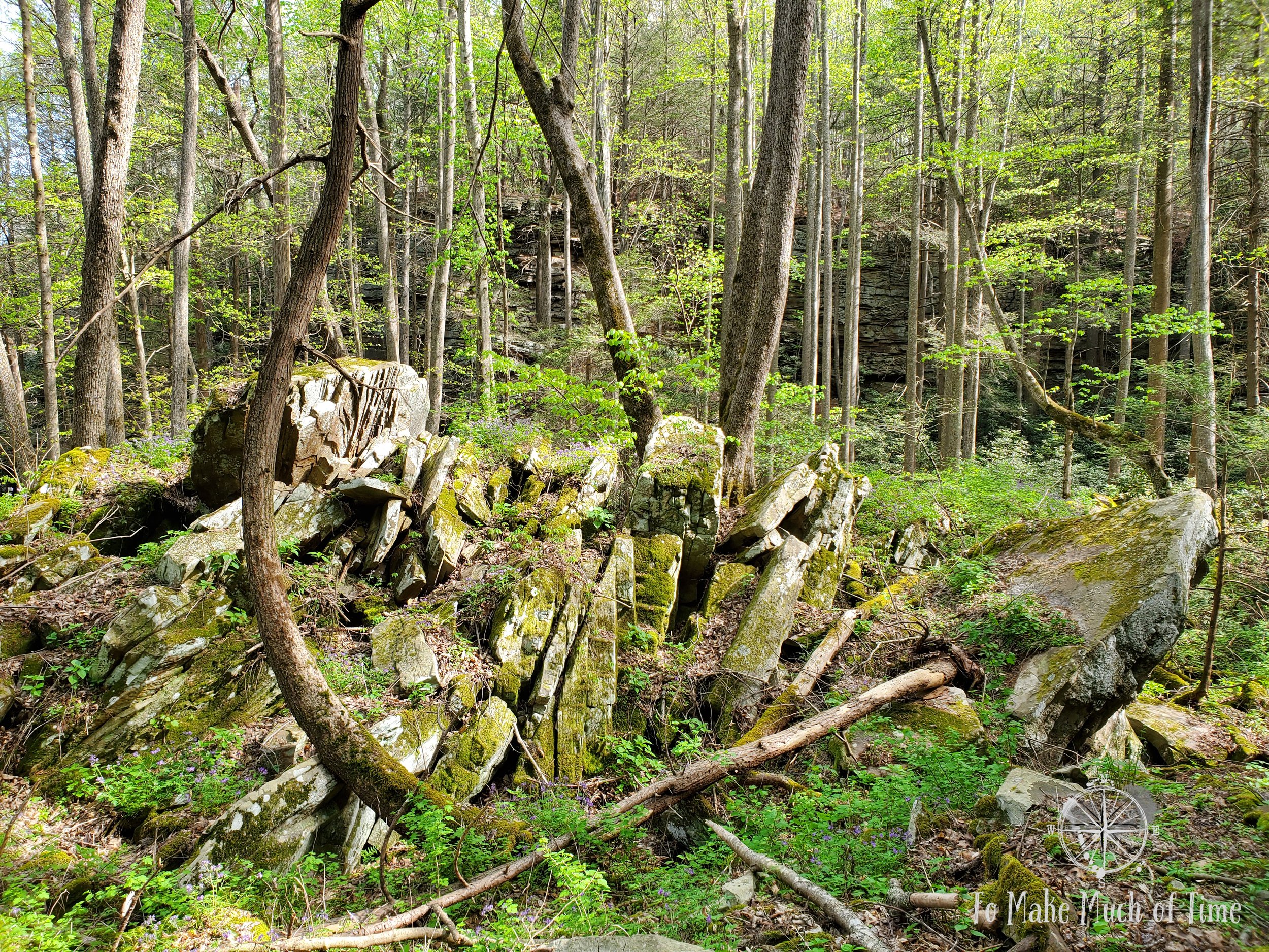
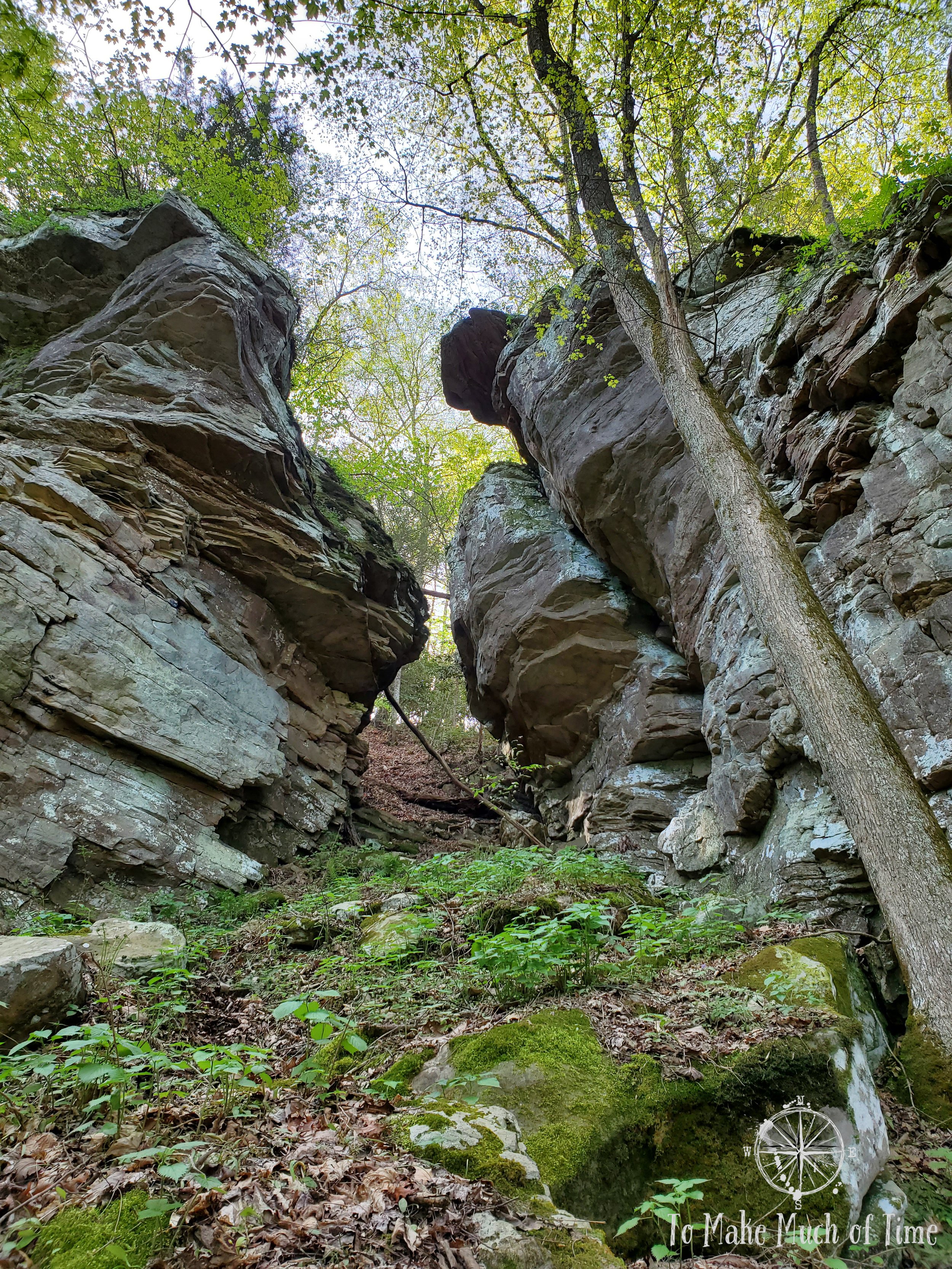
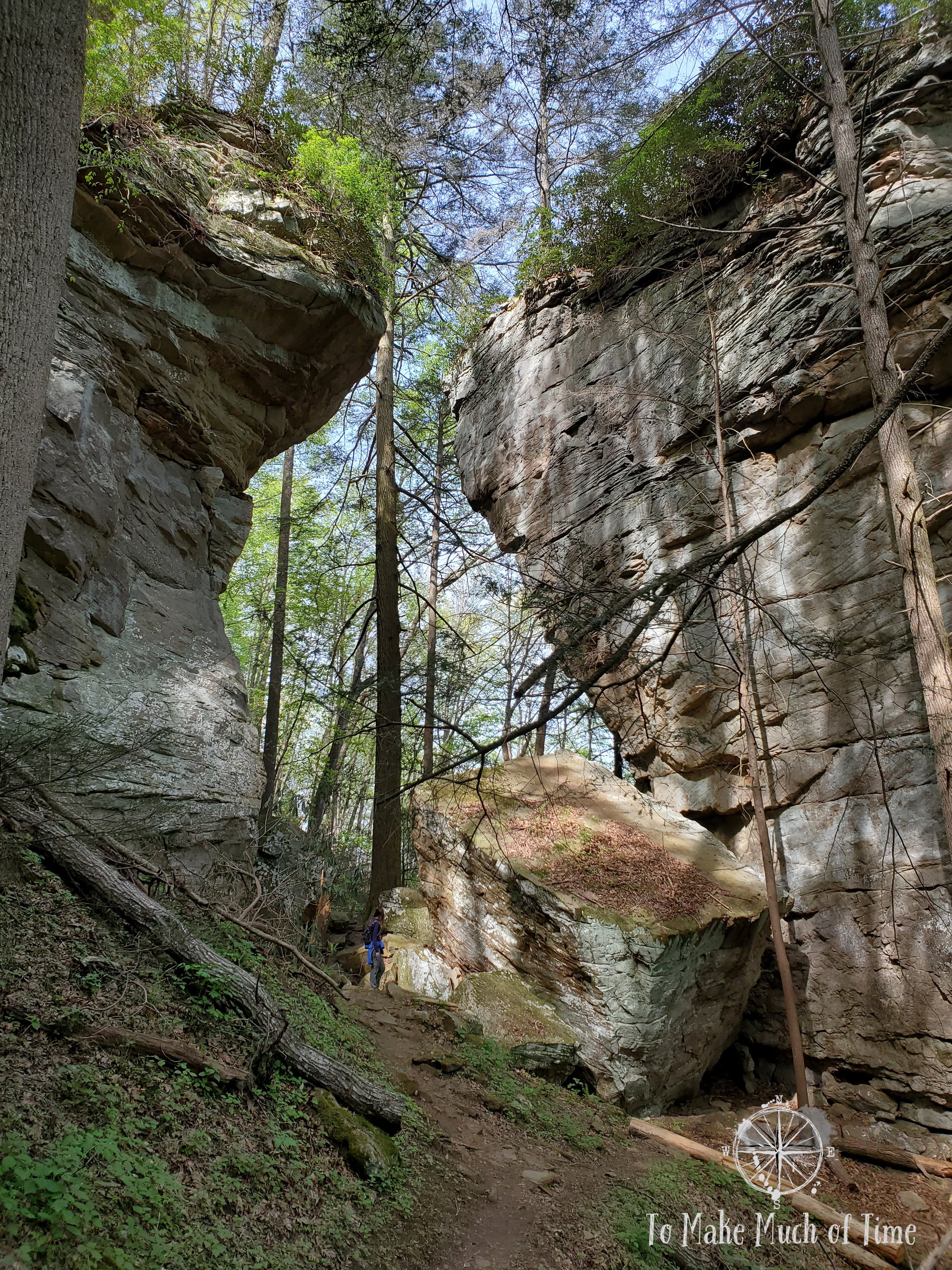
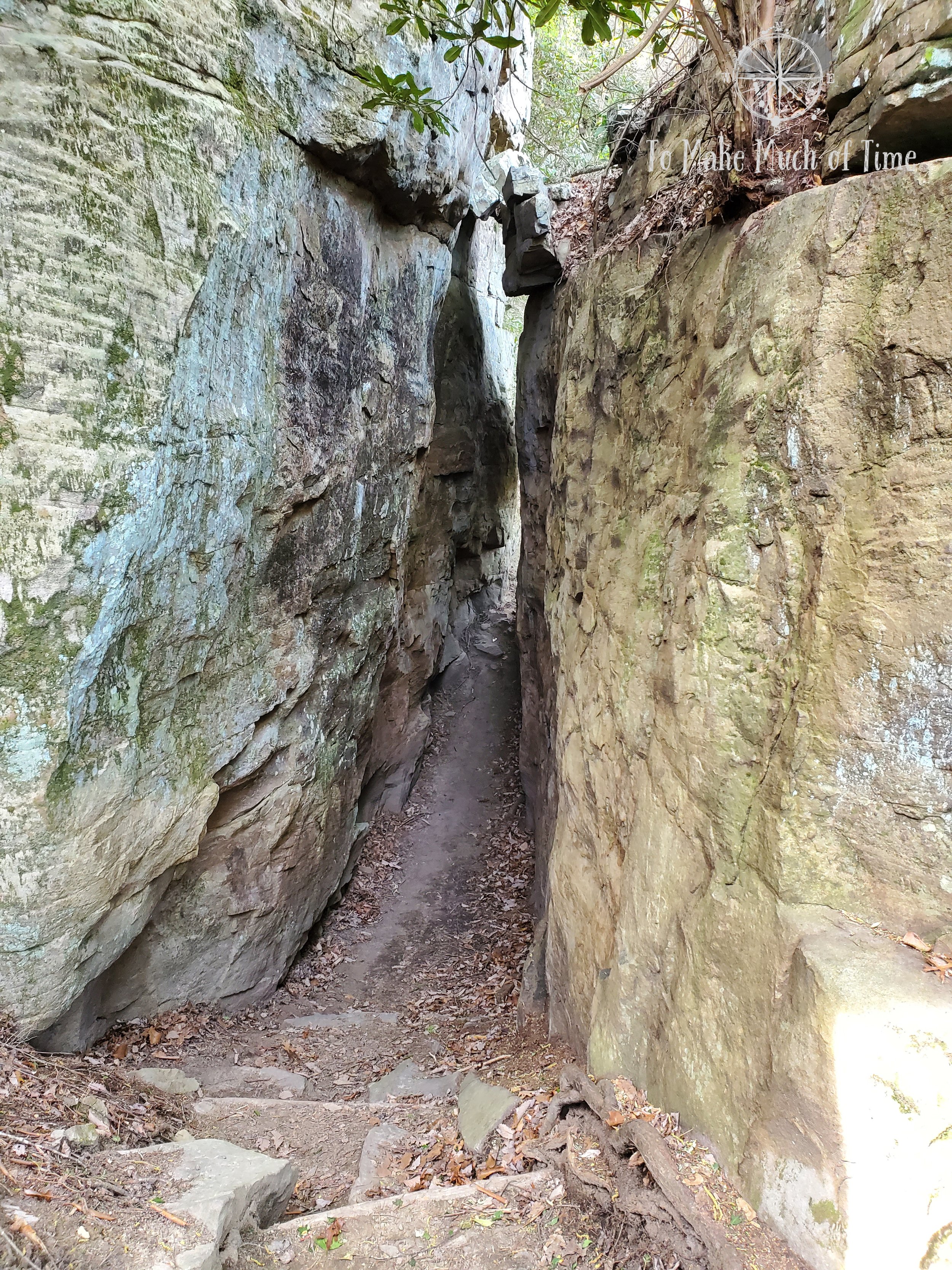
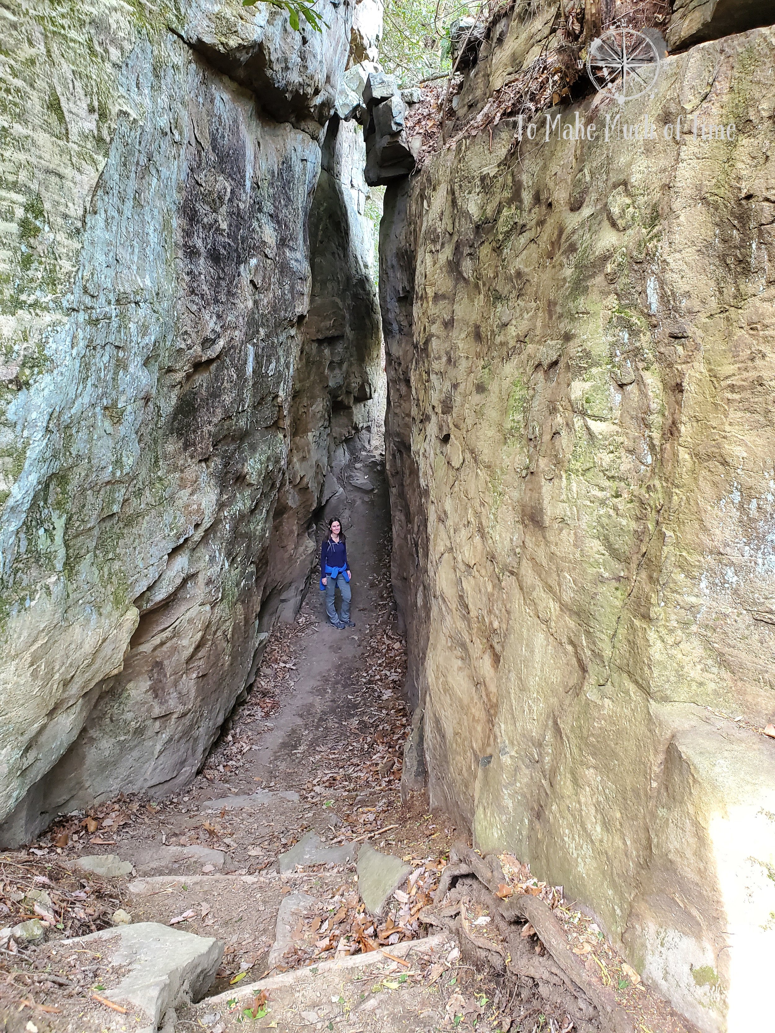
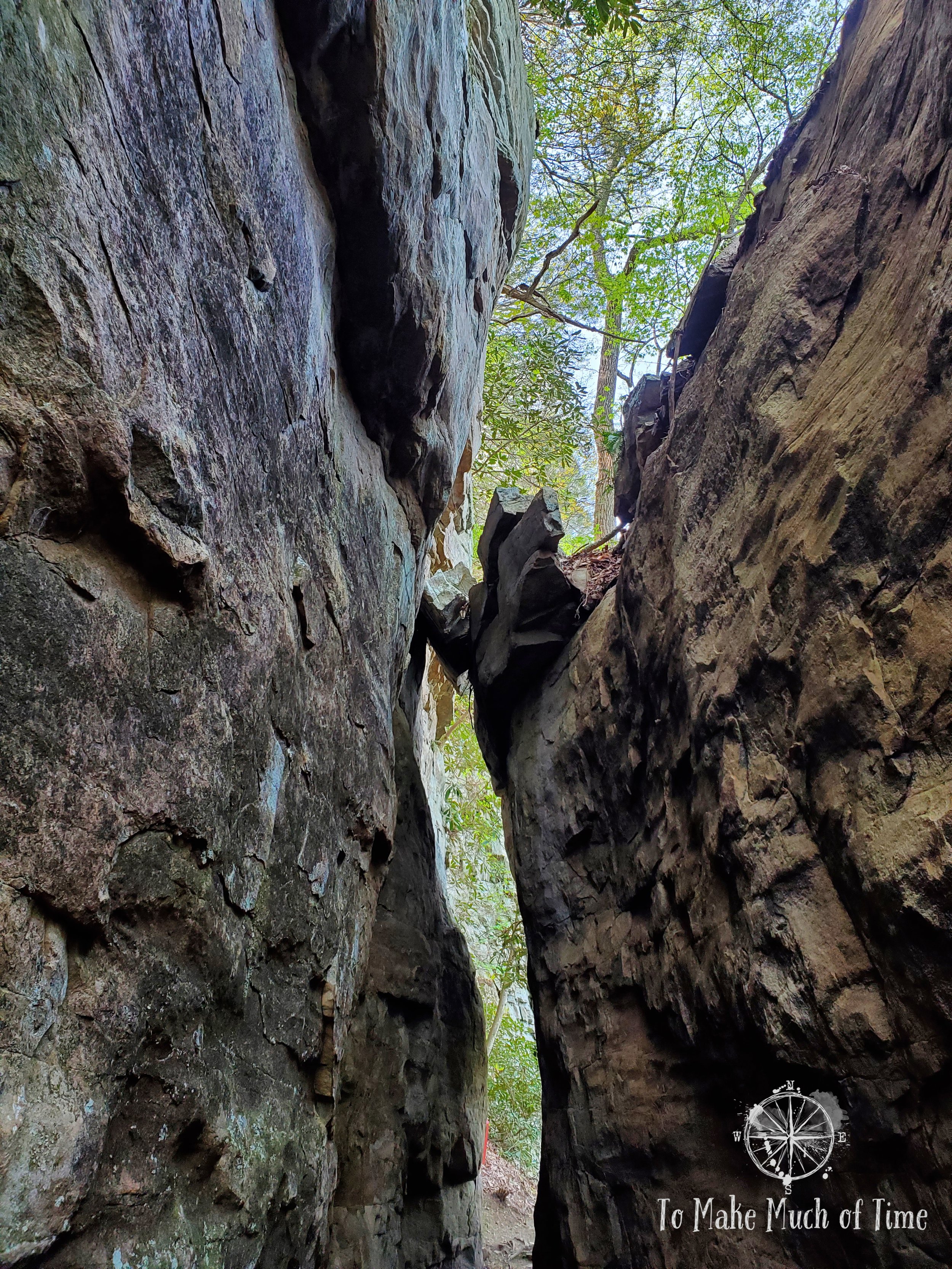
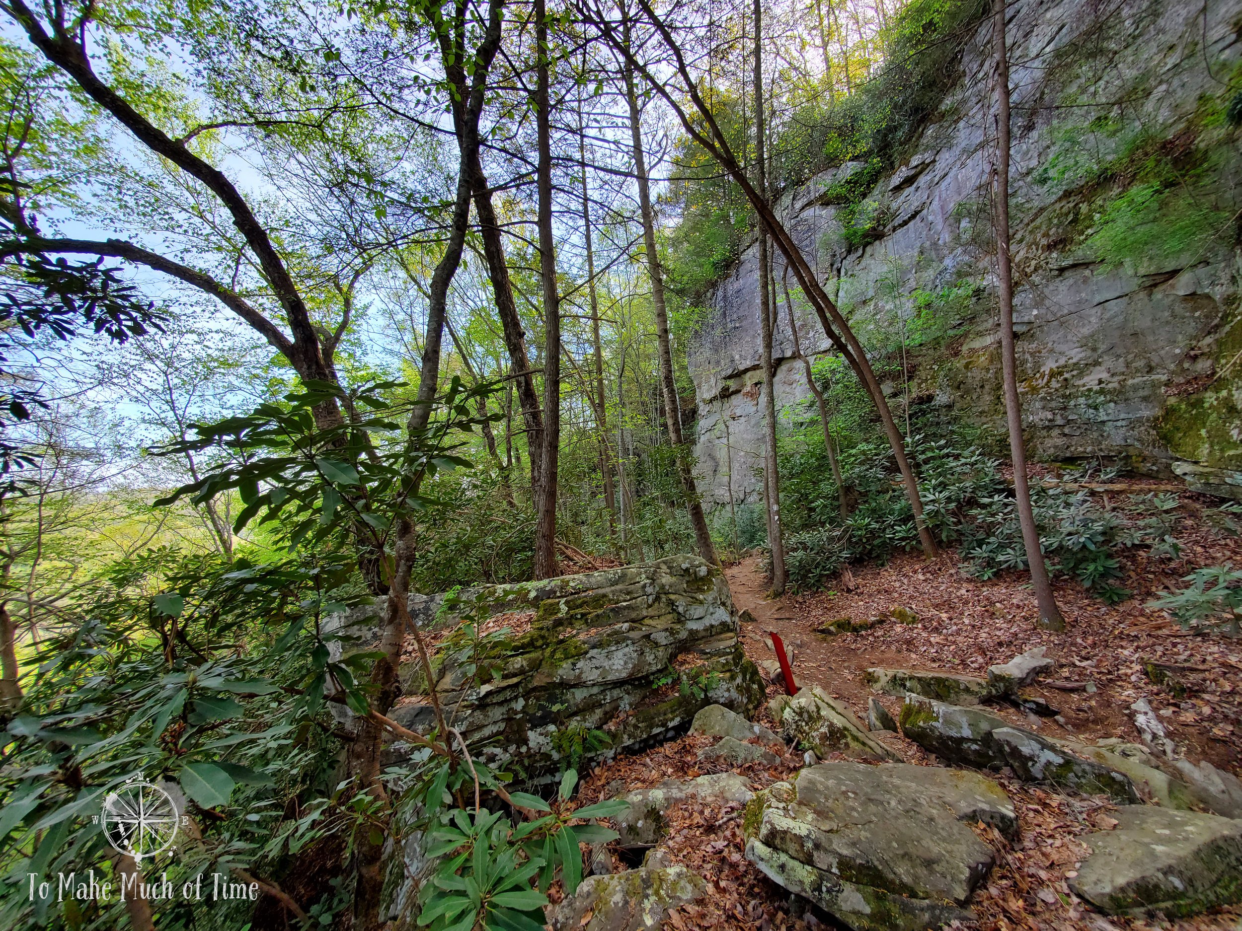
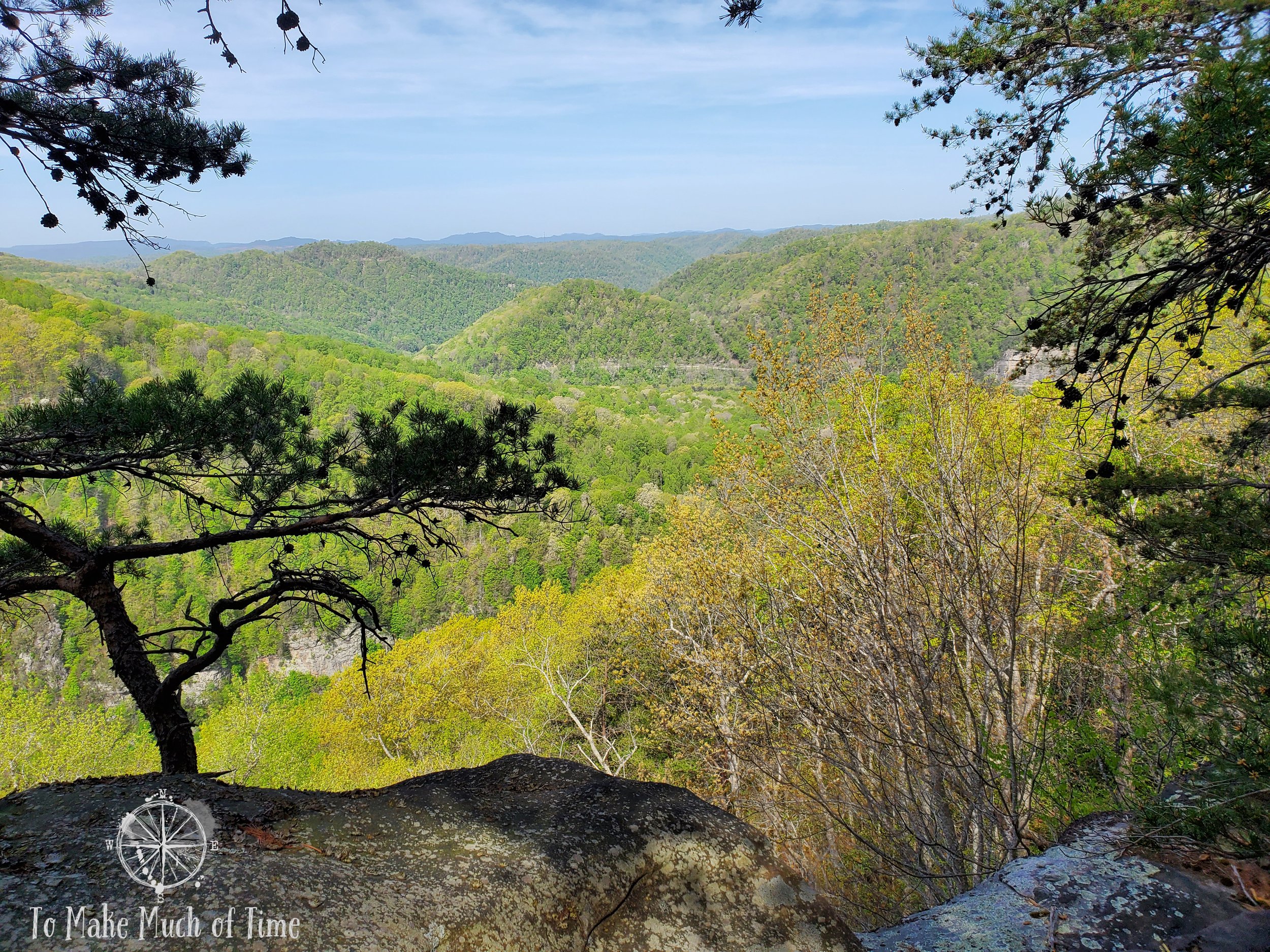
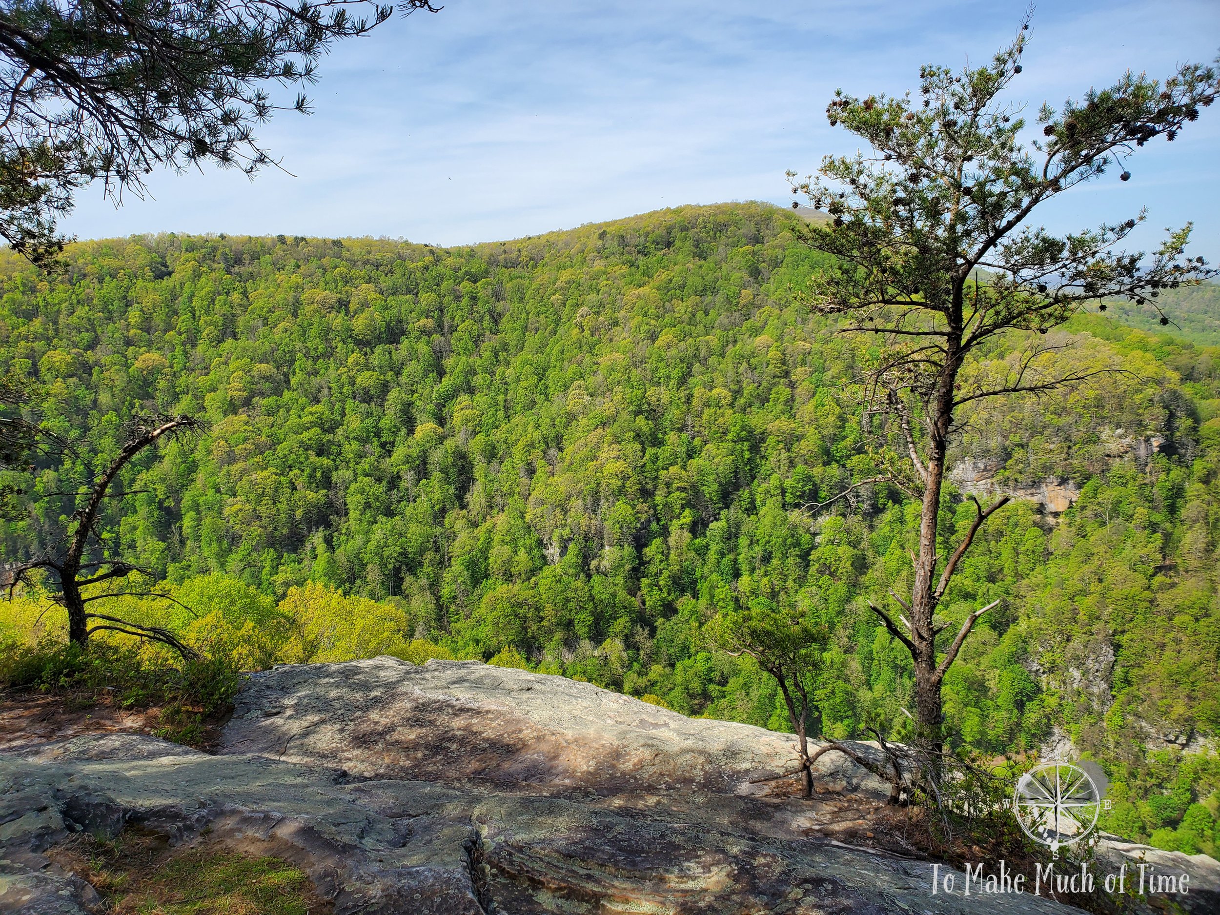
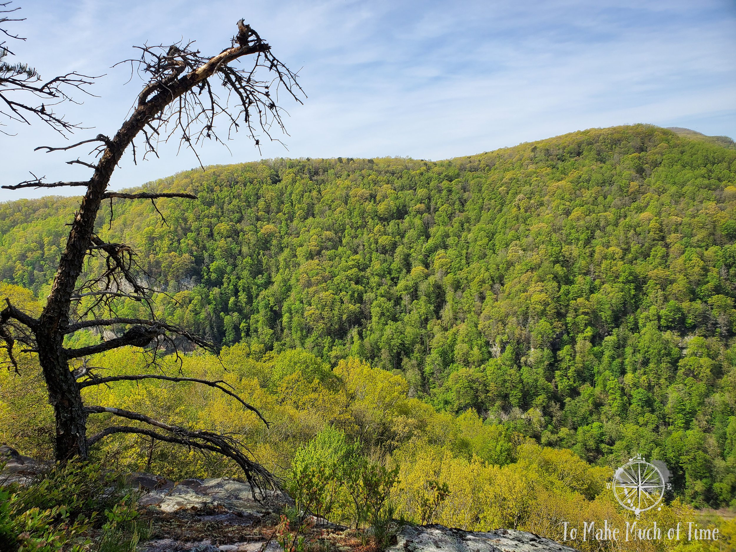
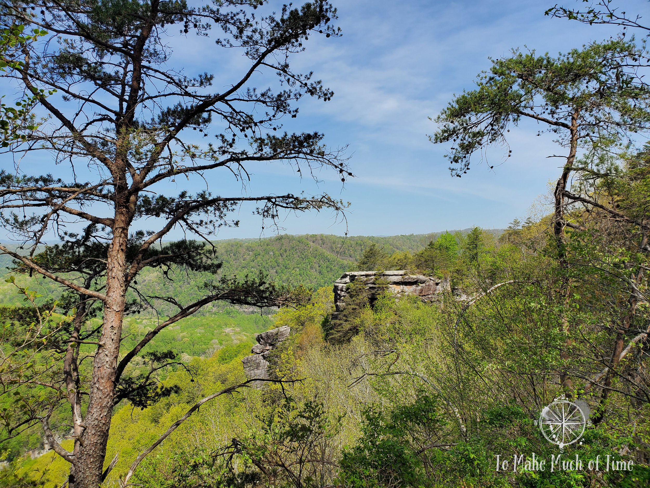
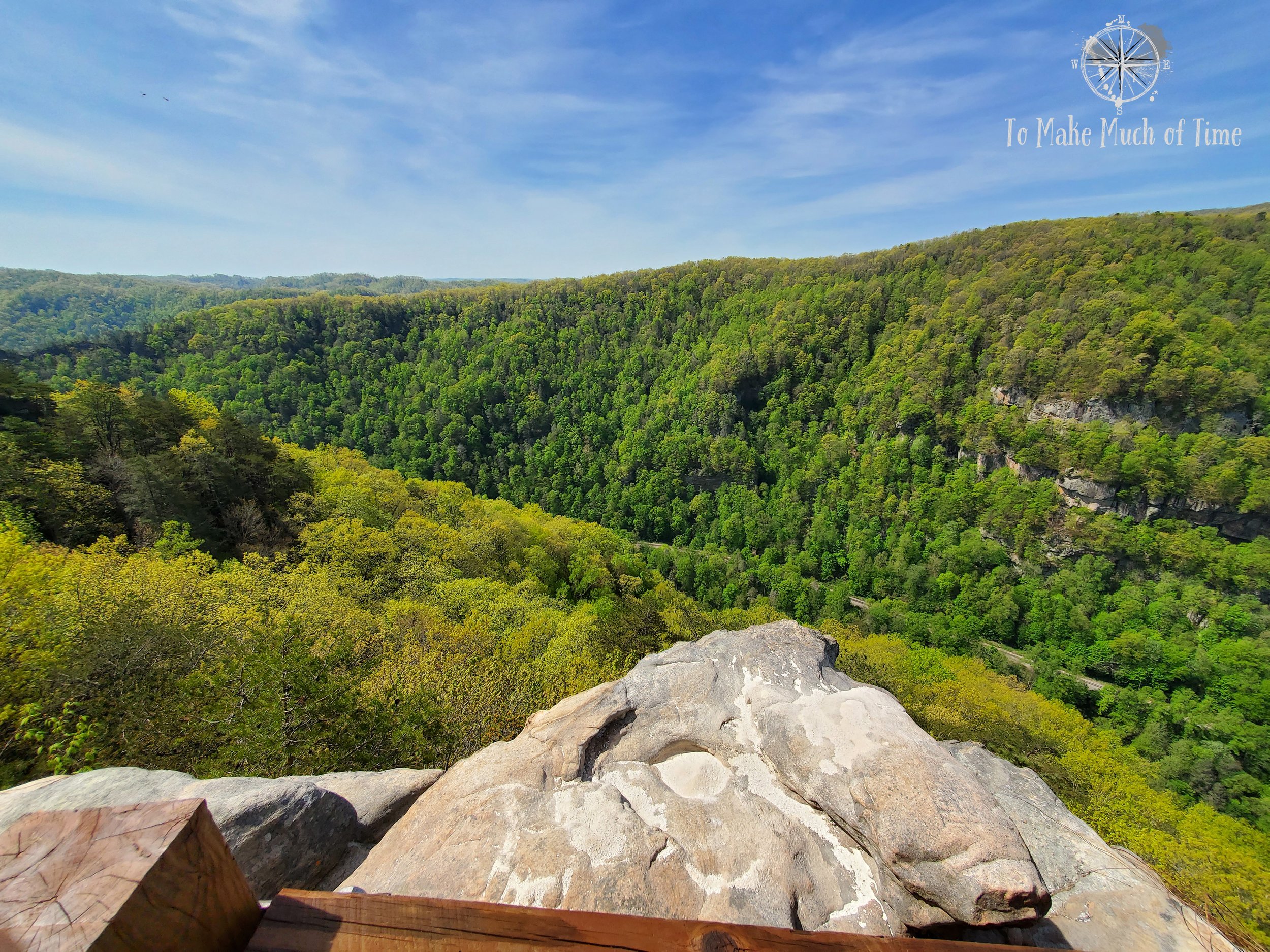
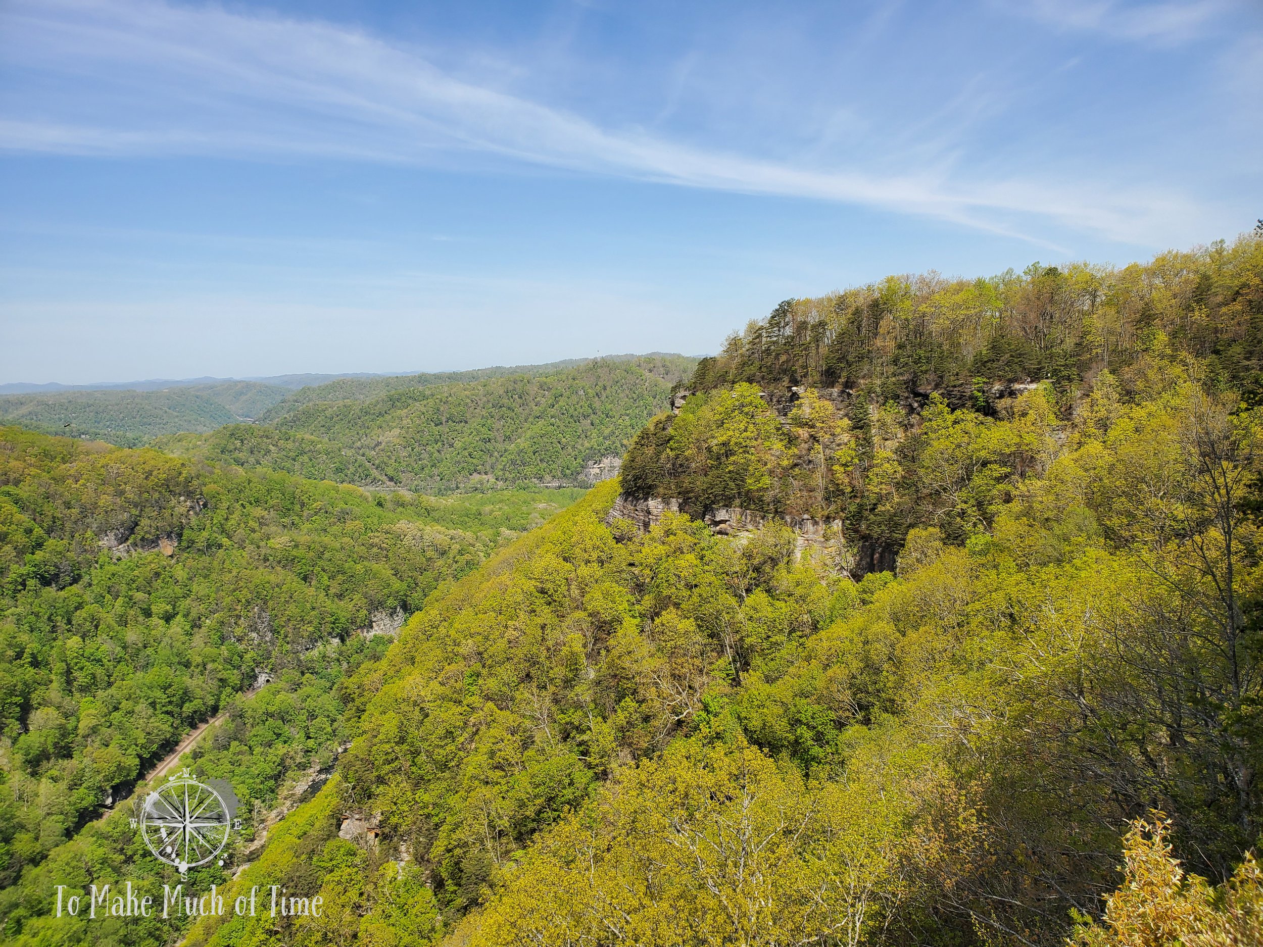
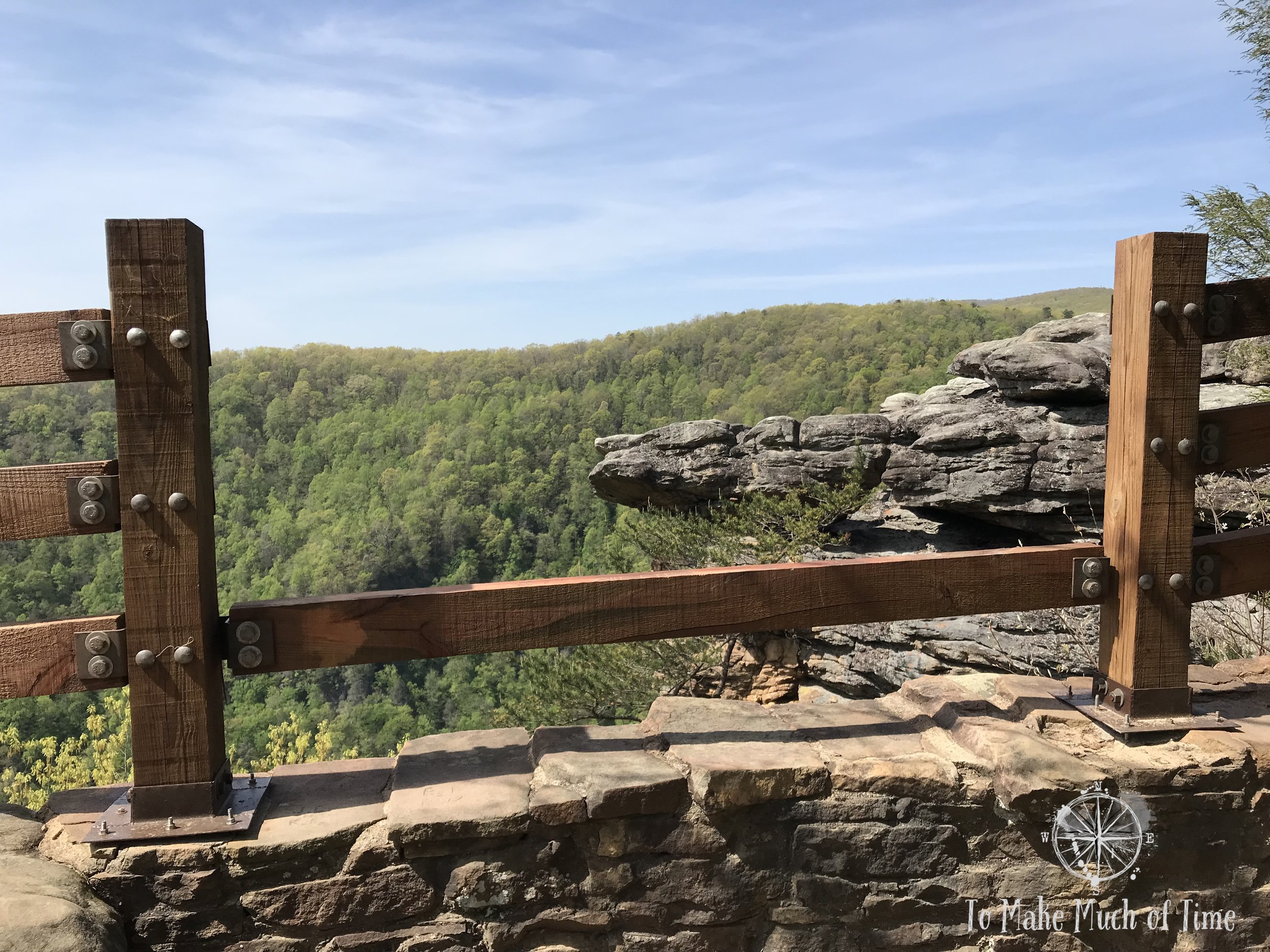
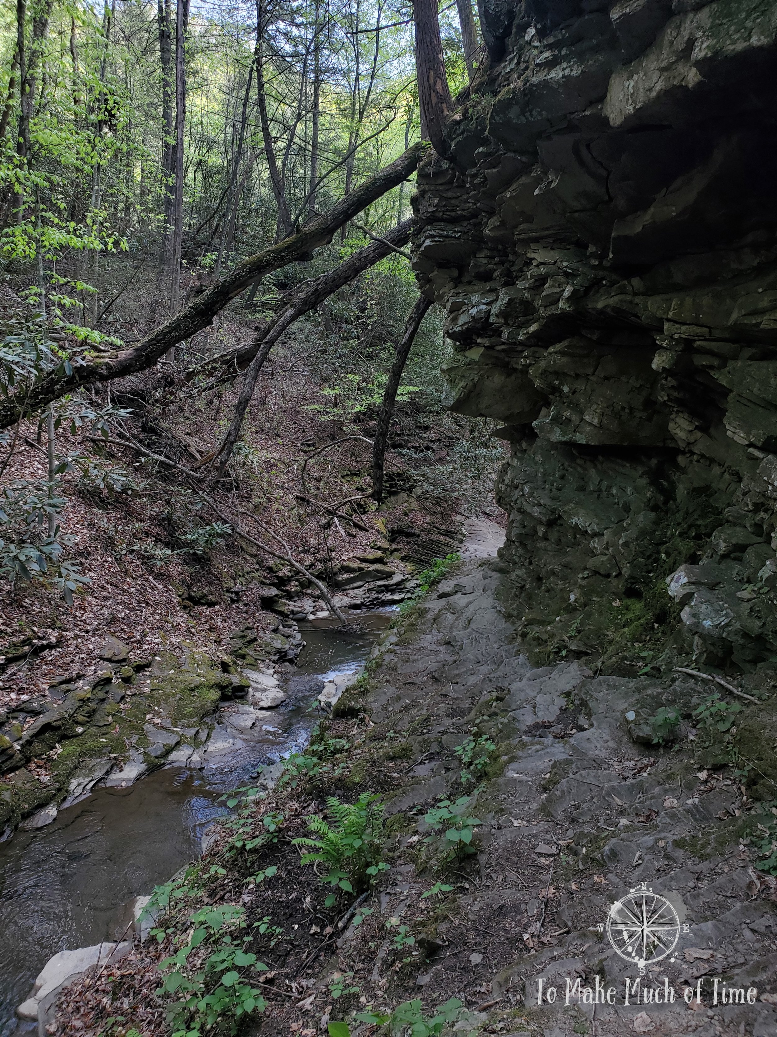
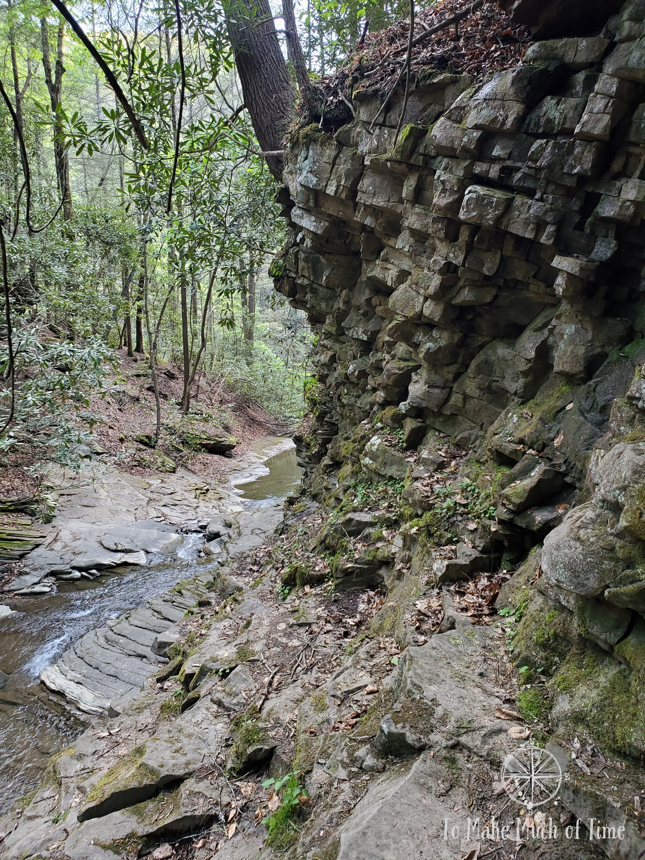
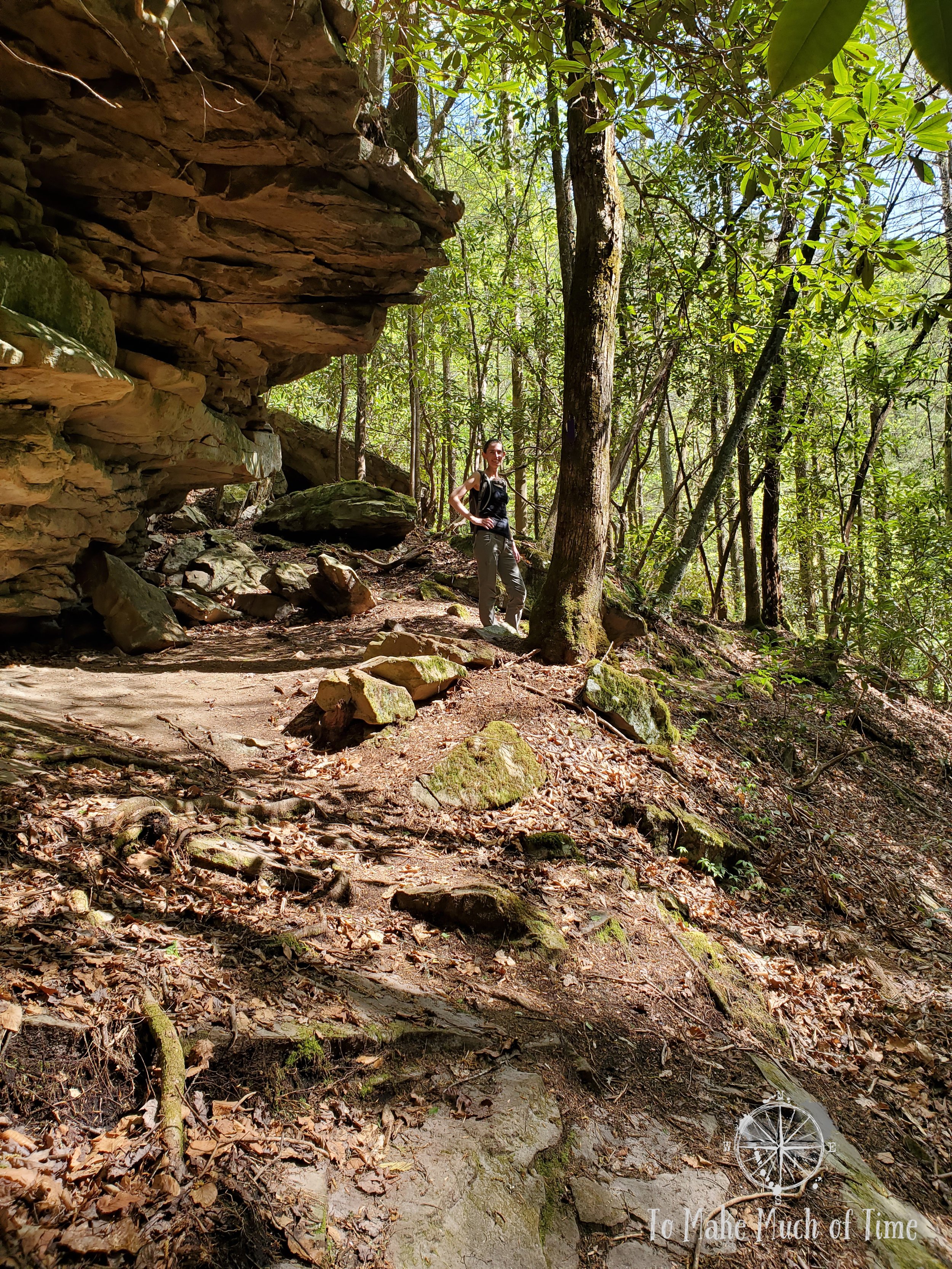
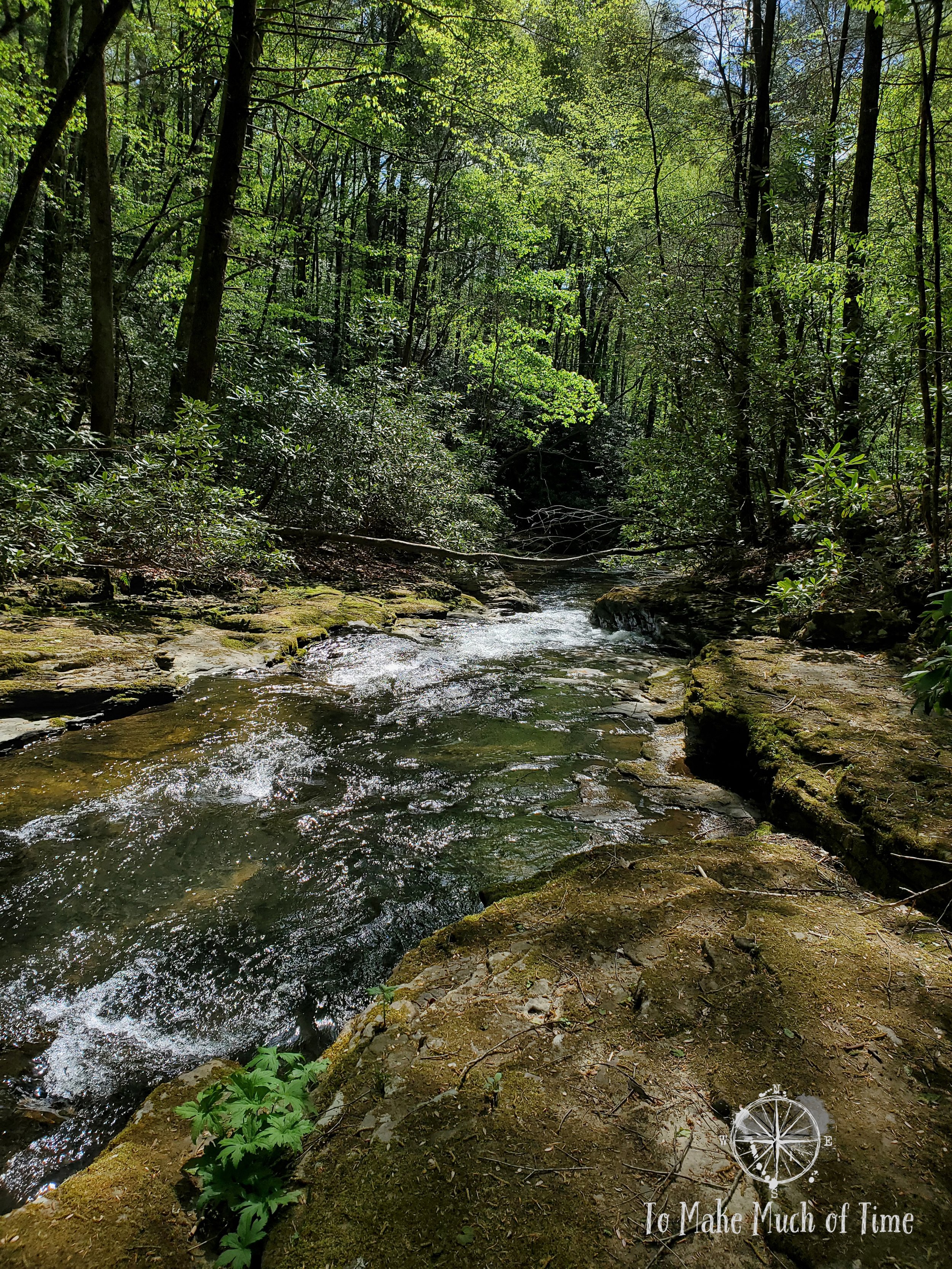
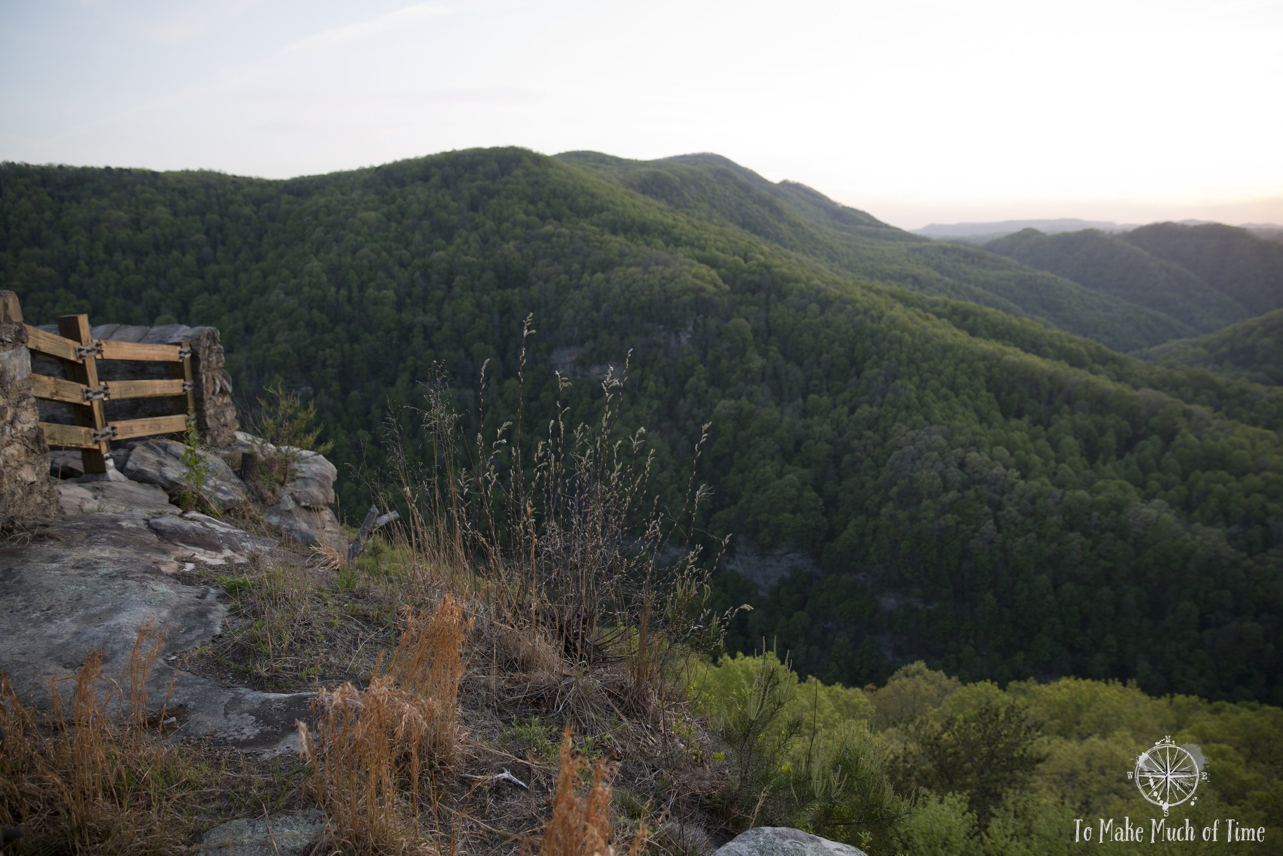
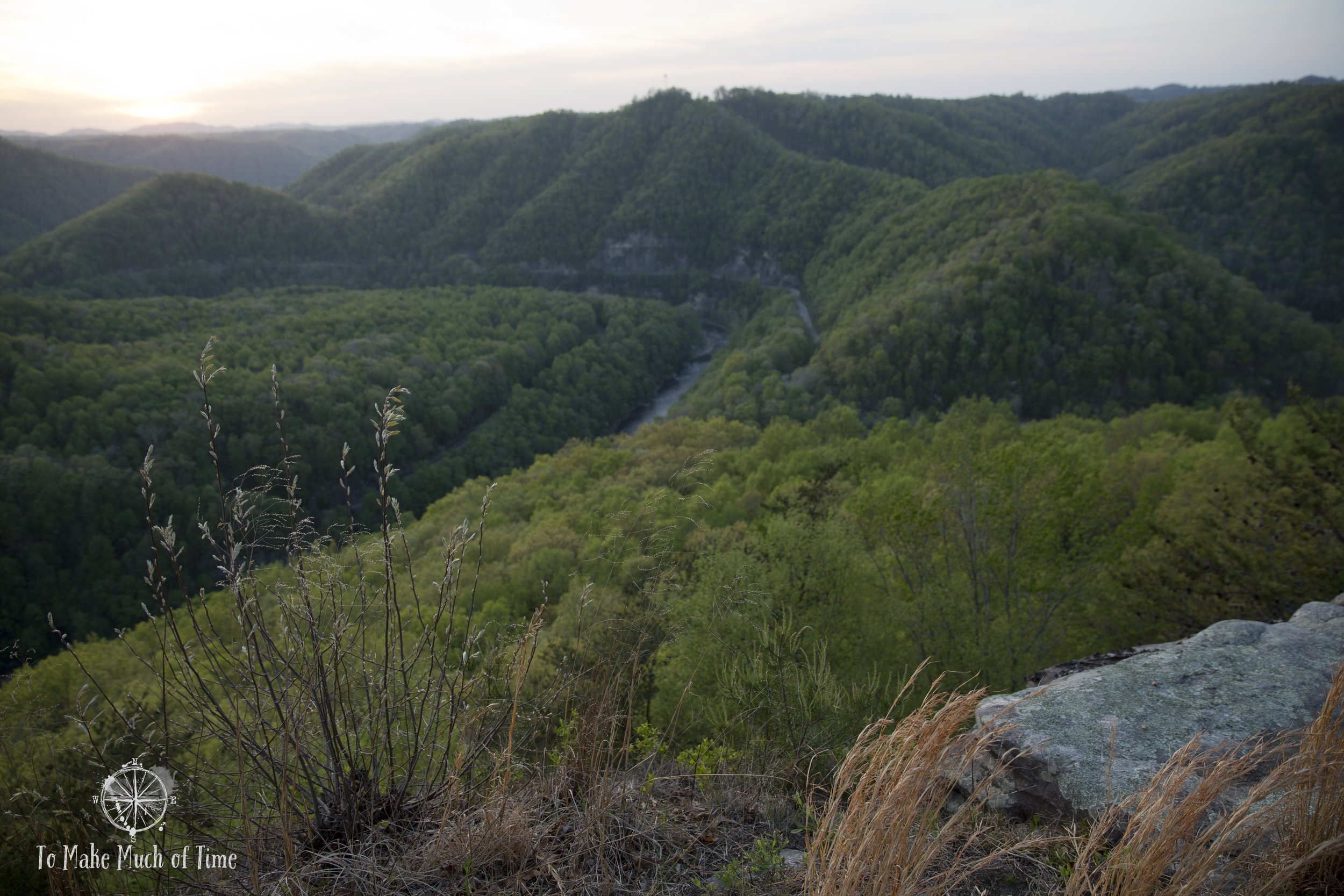
At the end of Laurel Branch Trail, we met up with Geological Trail, a mesmerizing 0.35 mile hike along the cliff’s rocky edge. There were huge rocky outcrops and towers, several enormous boulders balanced precariously, and a moderately difficult path that was pretty rocky.
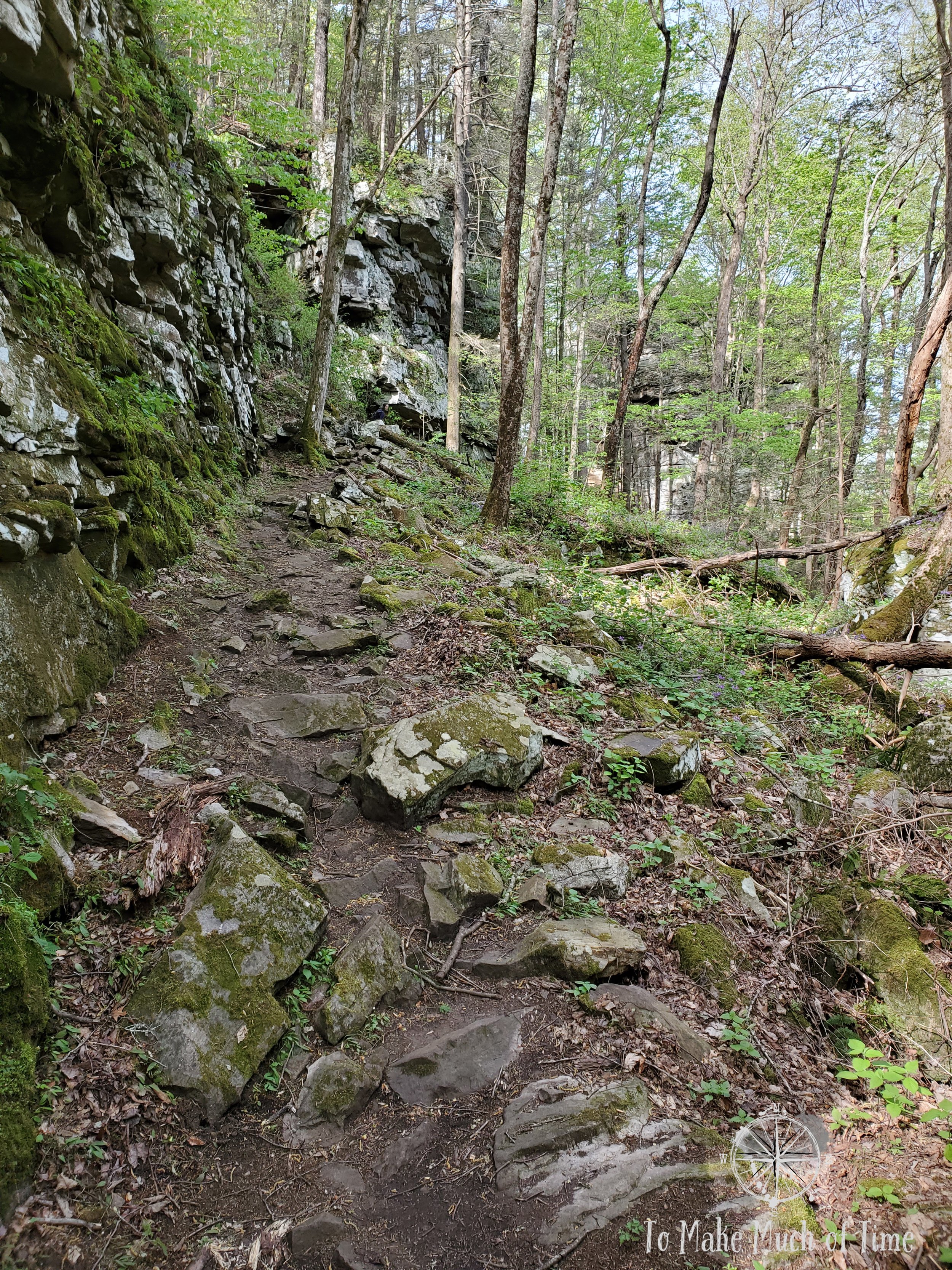
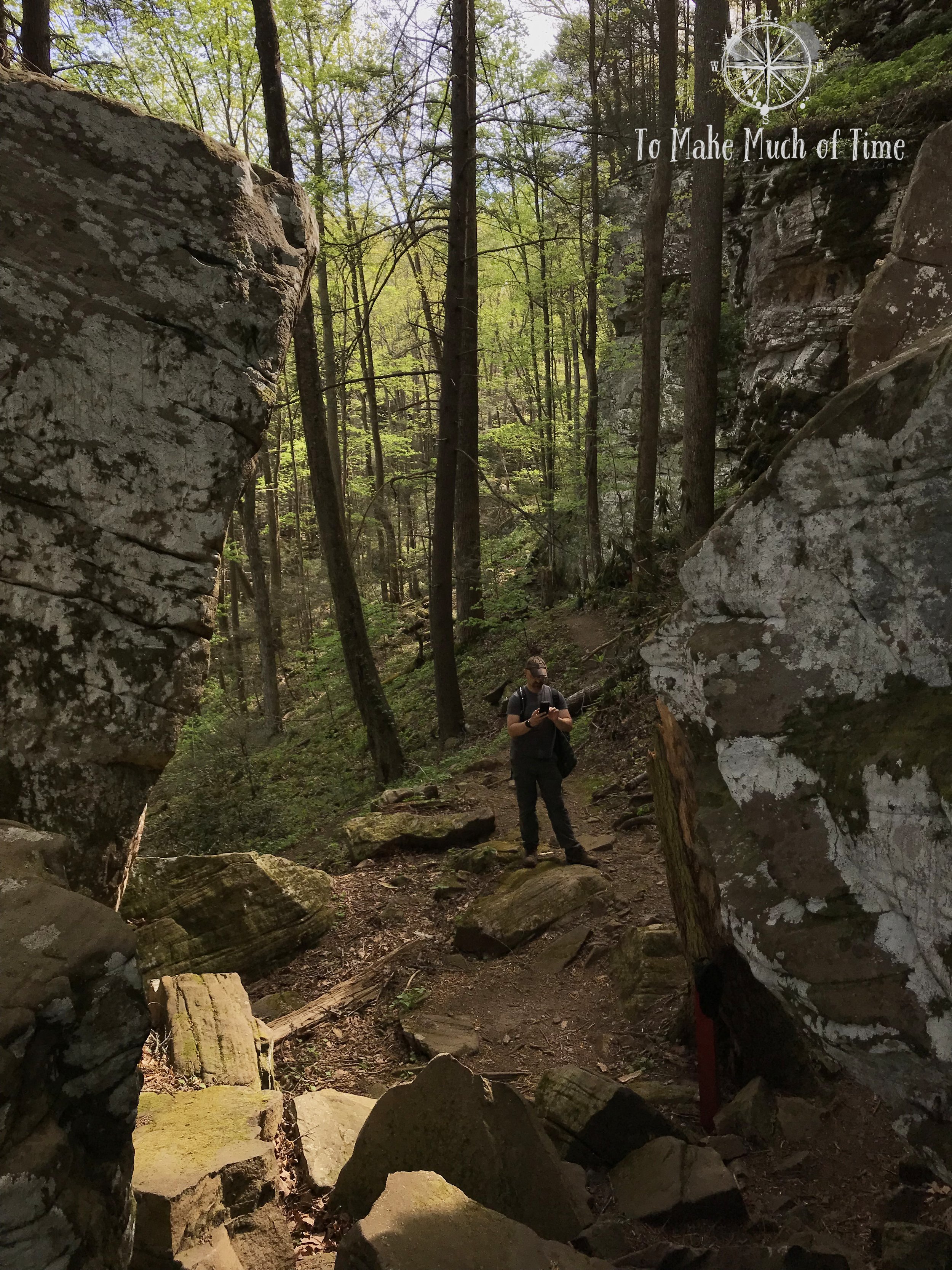
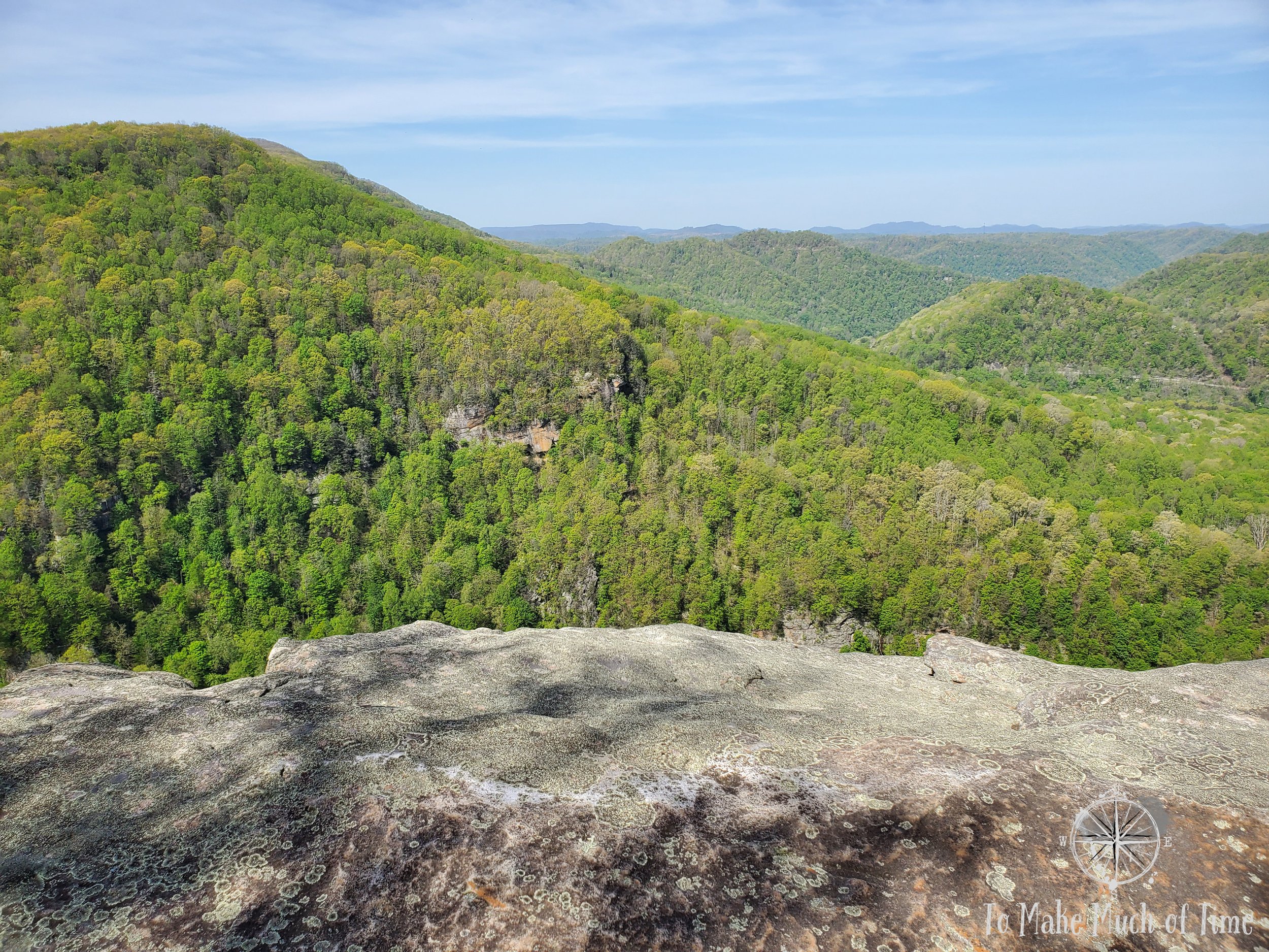
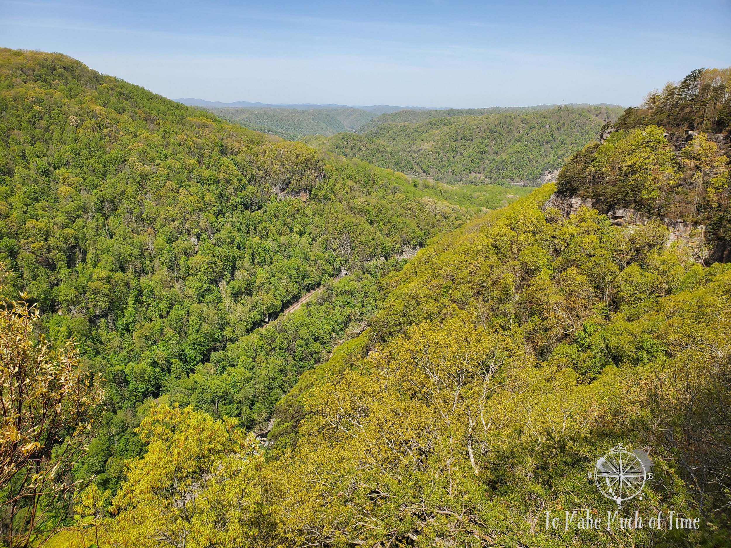
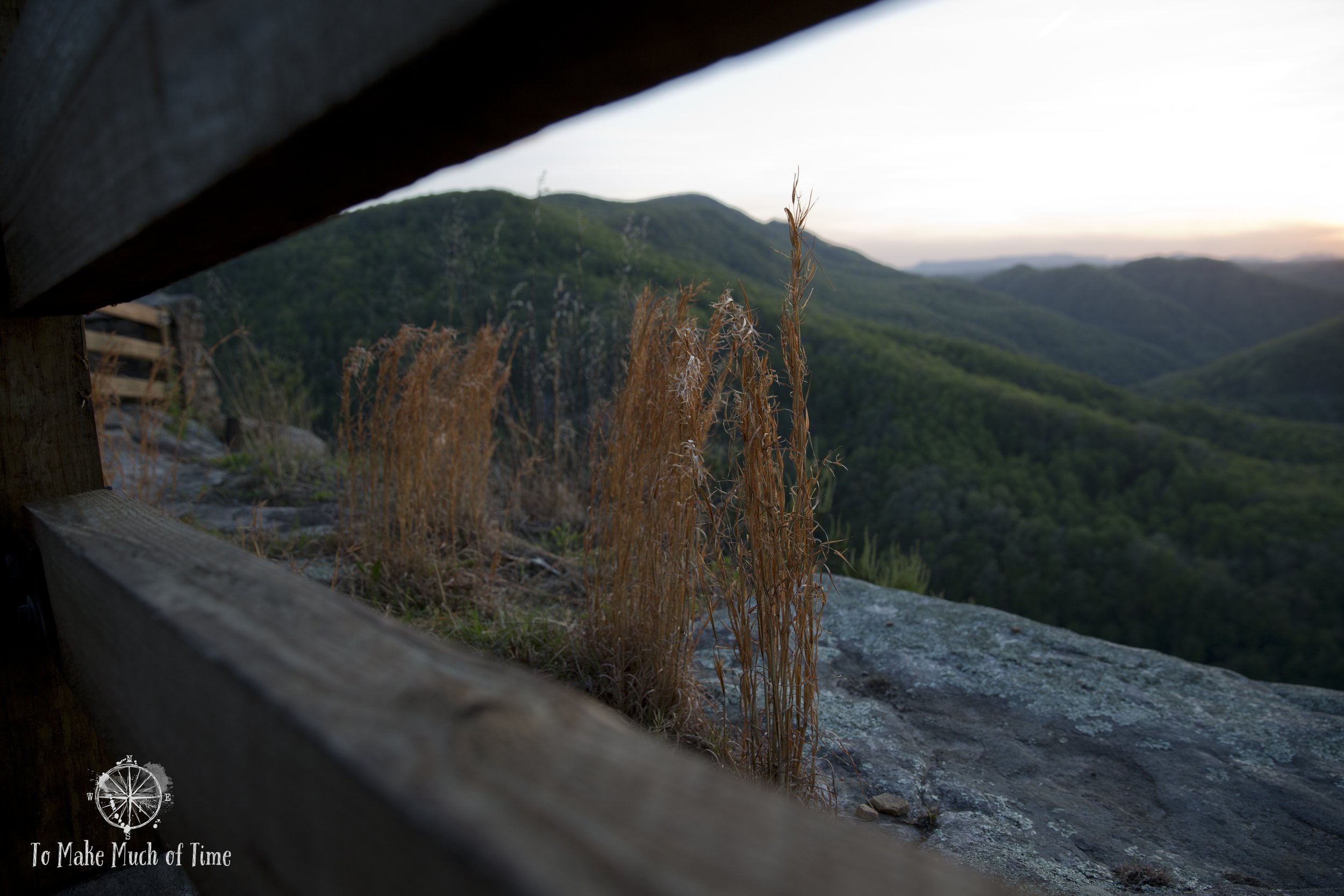
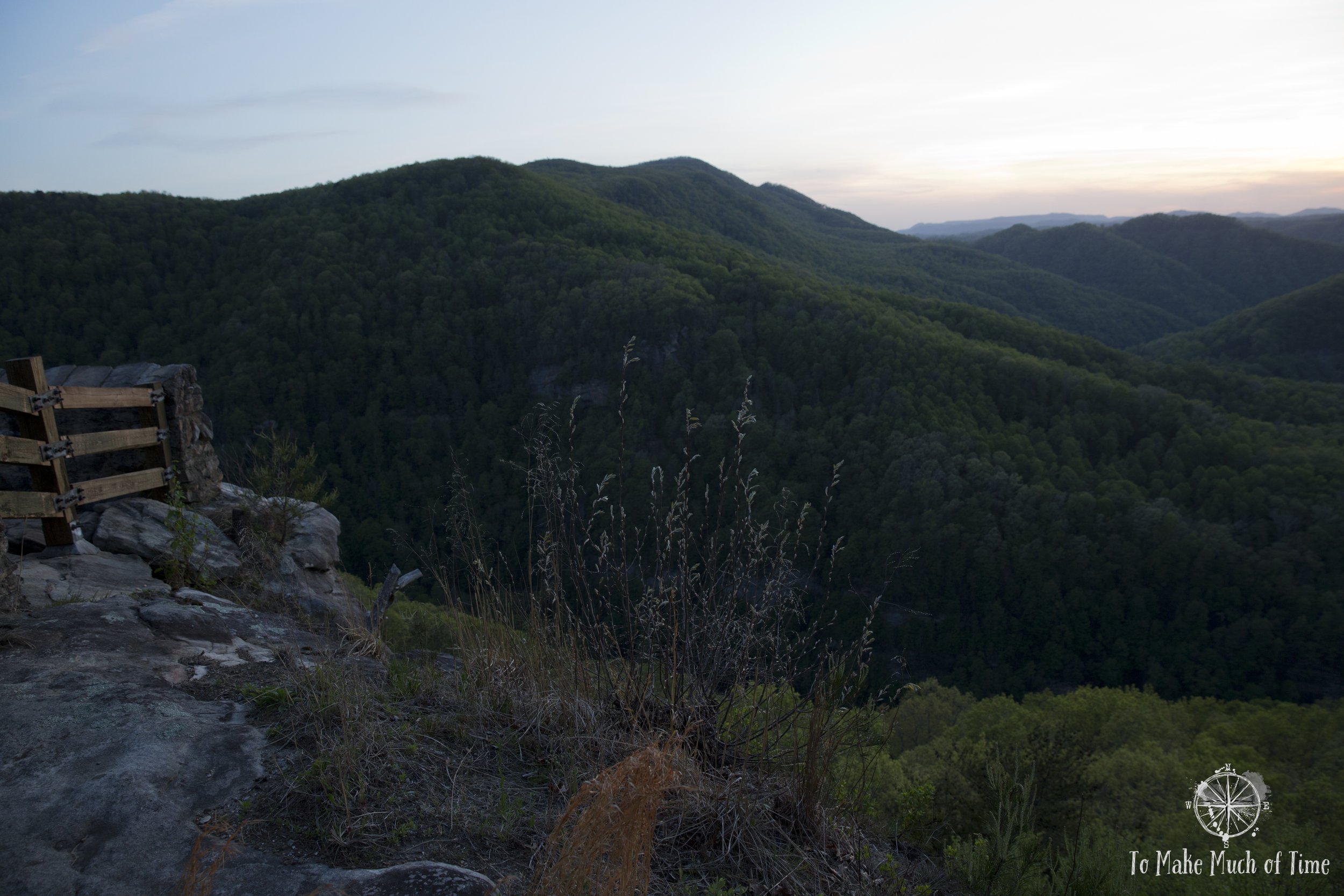
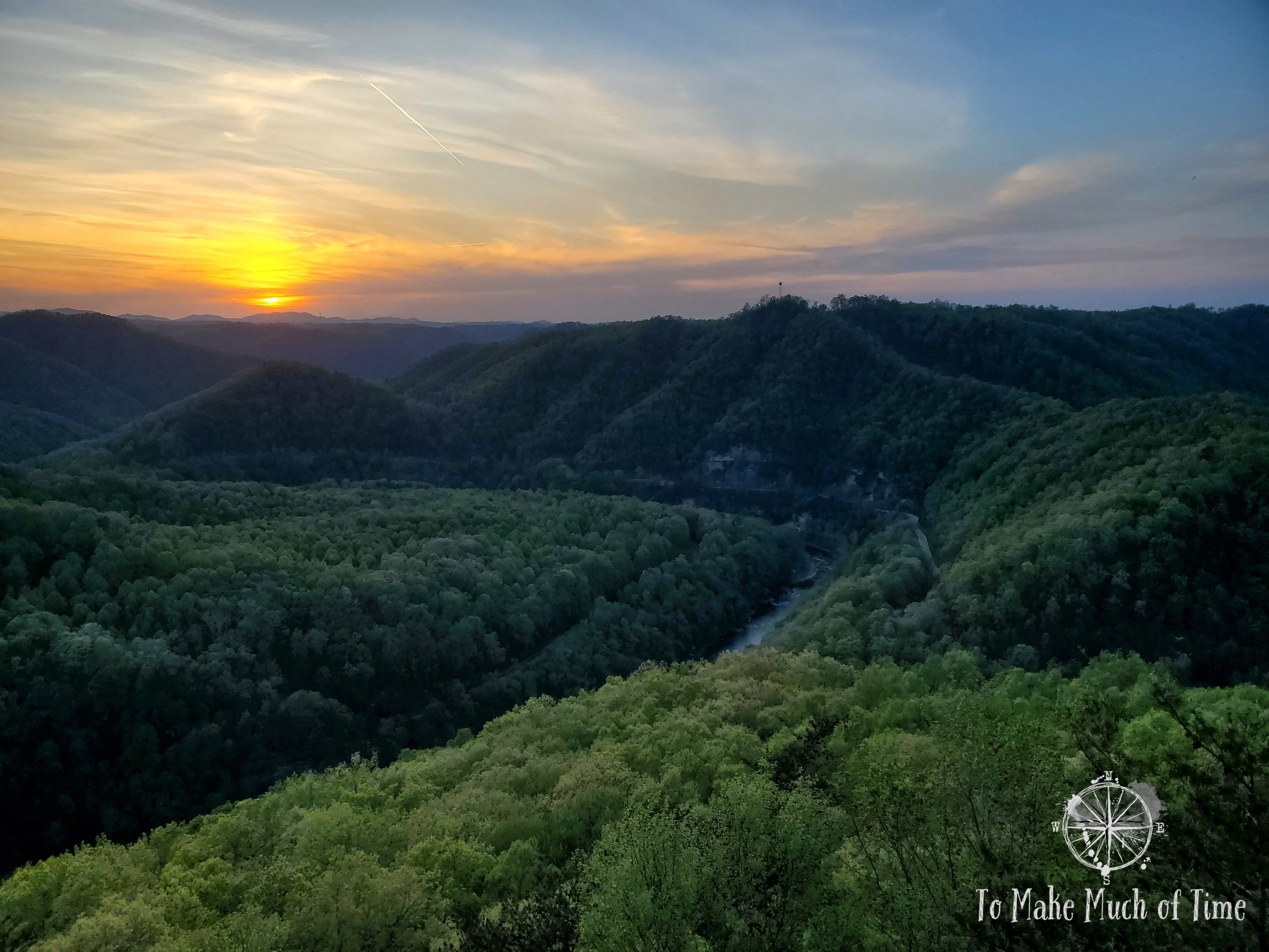
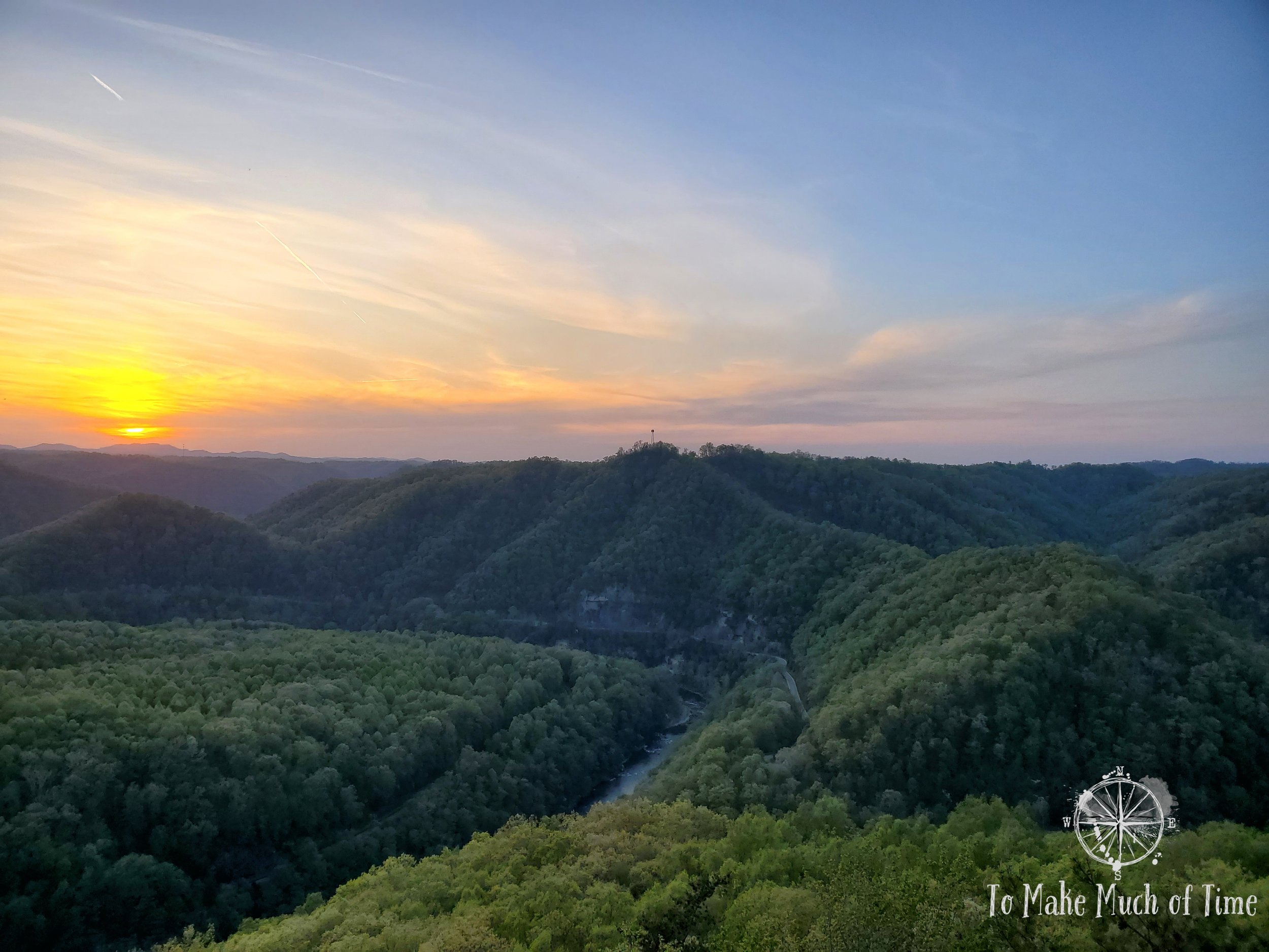
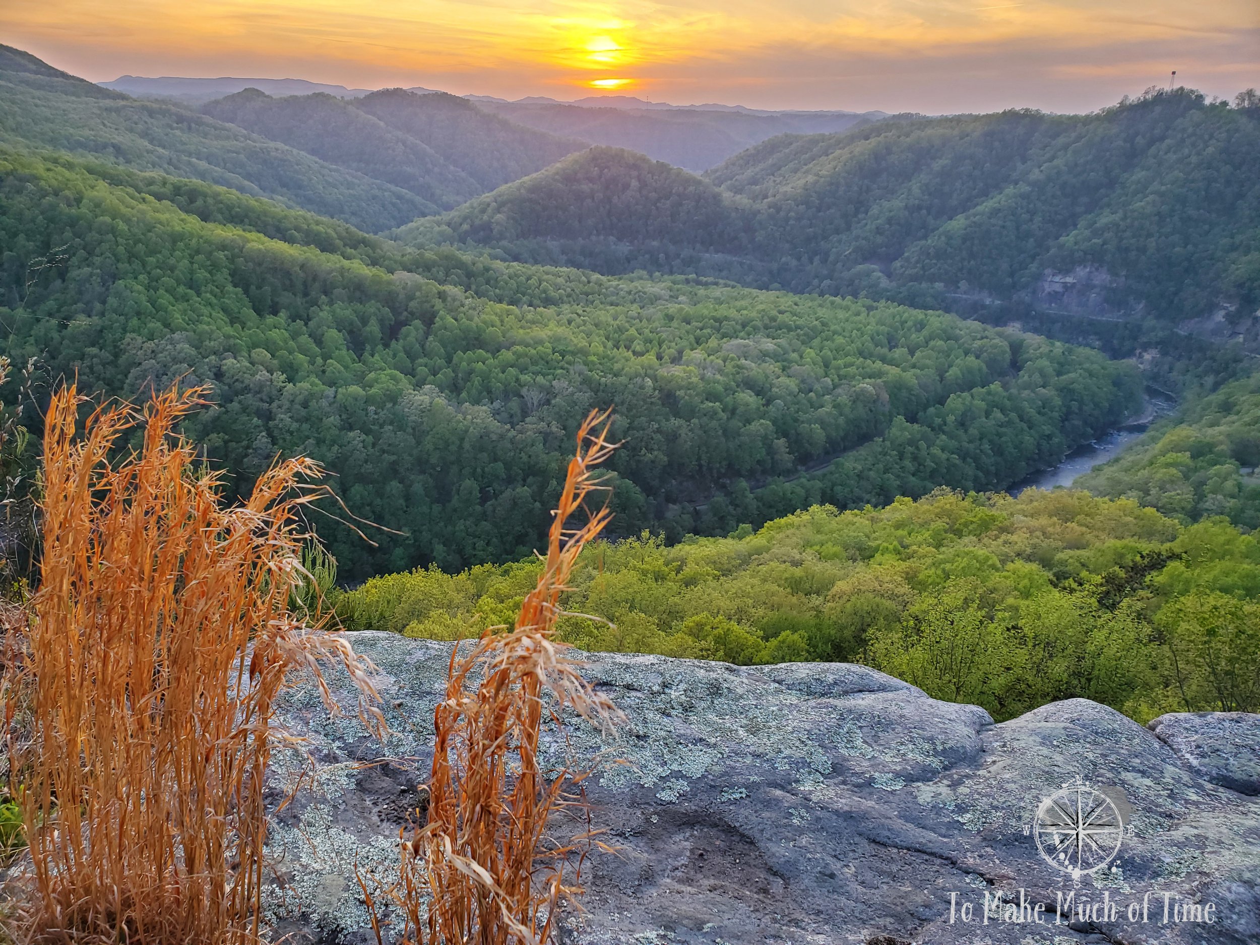
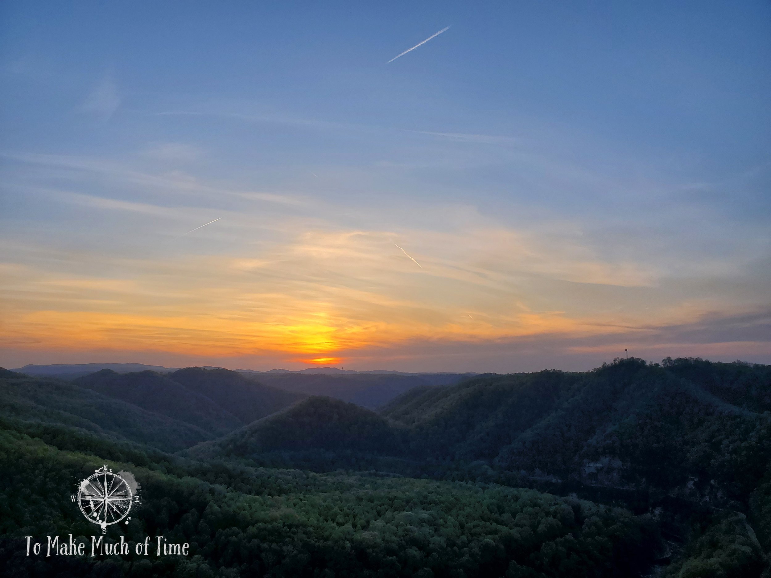
breaks interstate park: overlook trail
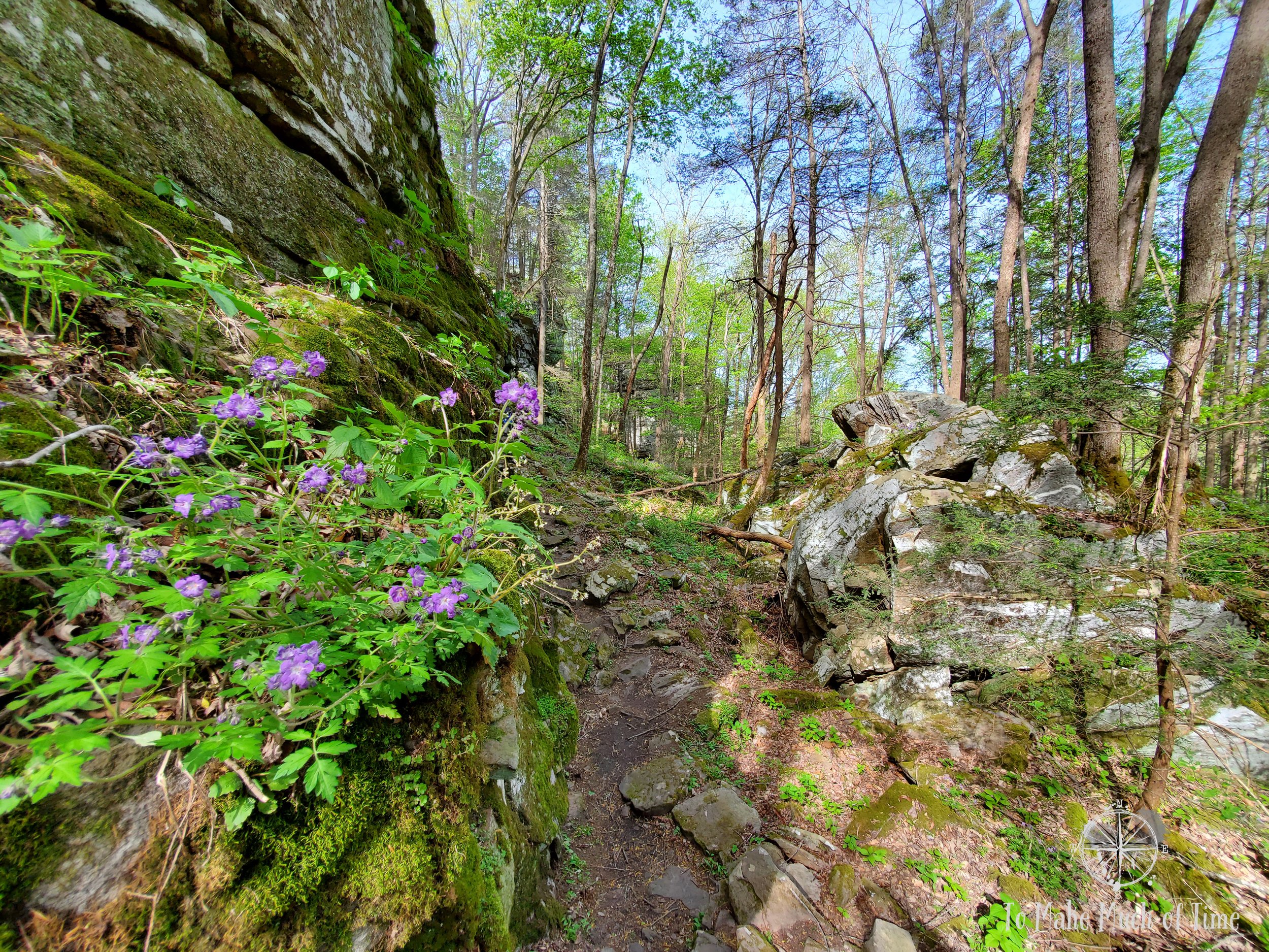
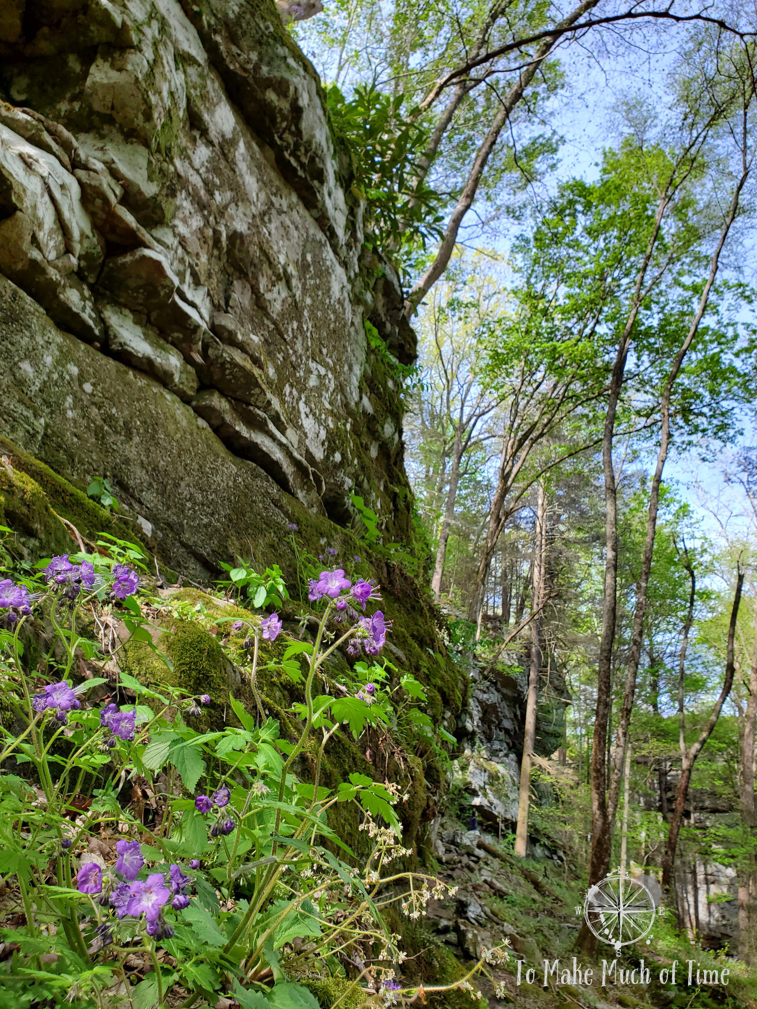
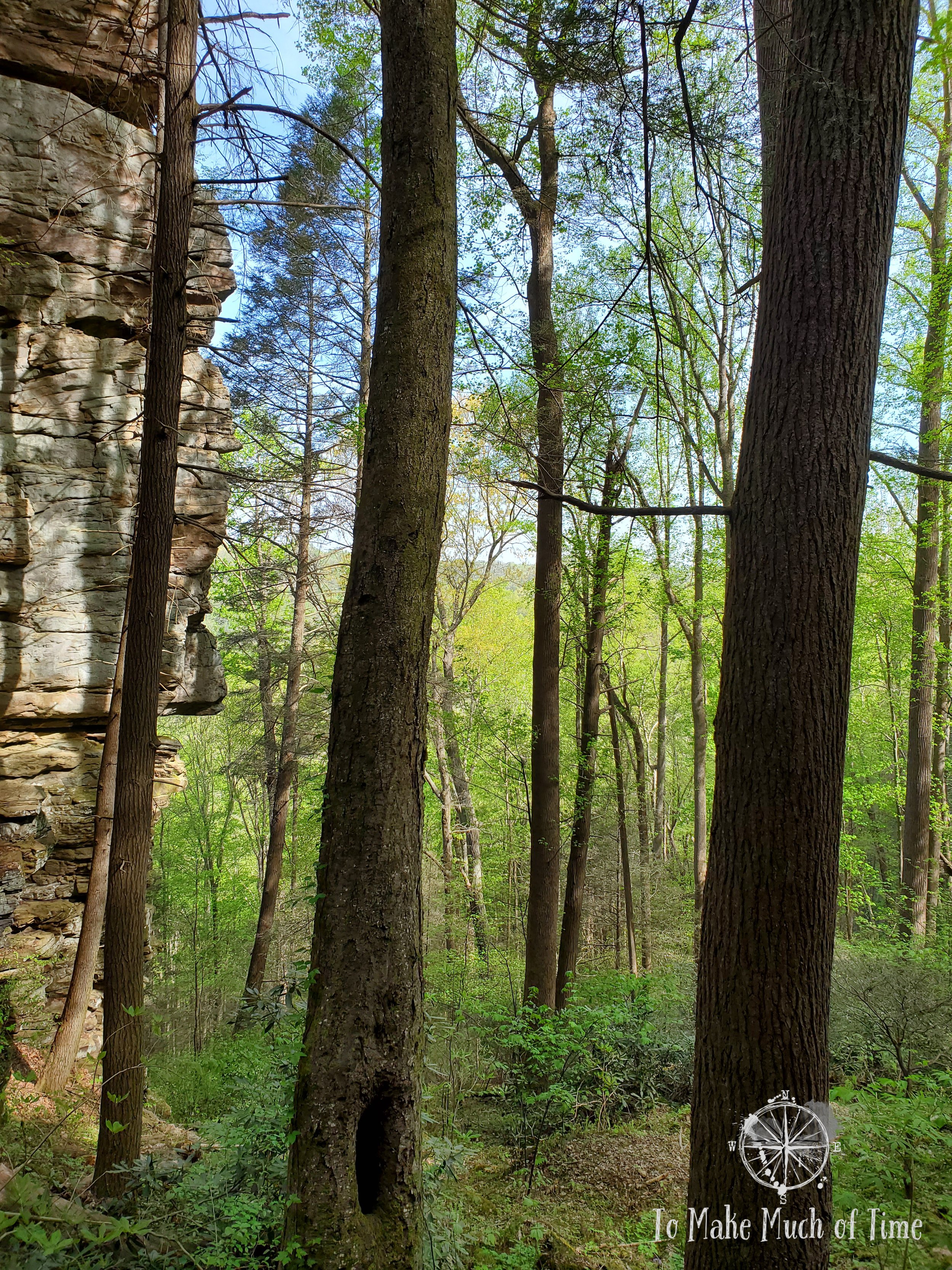
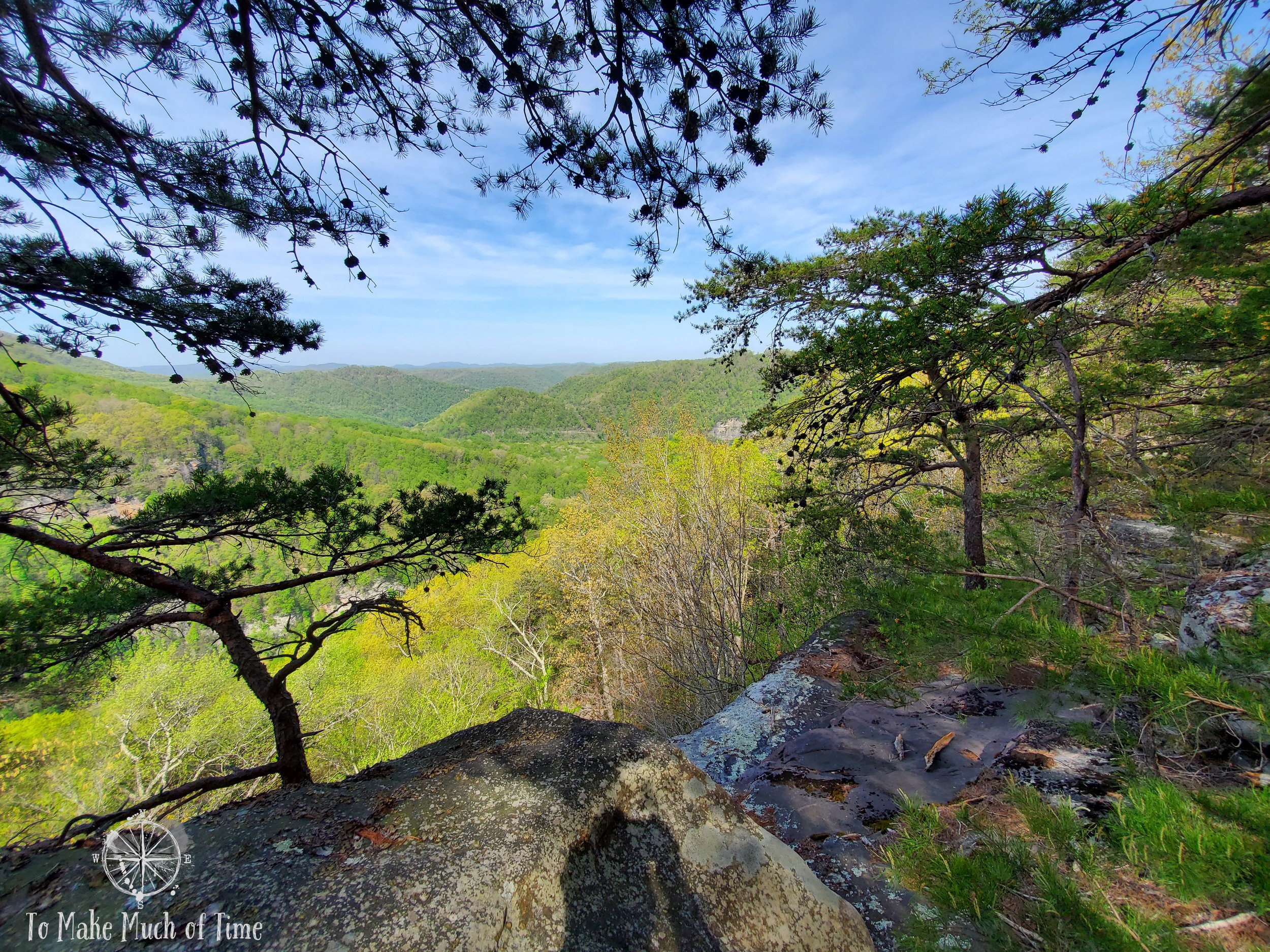
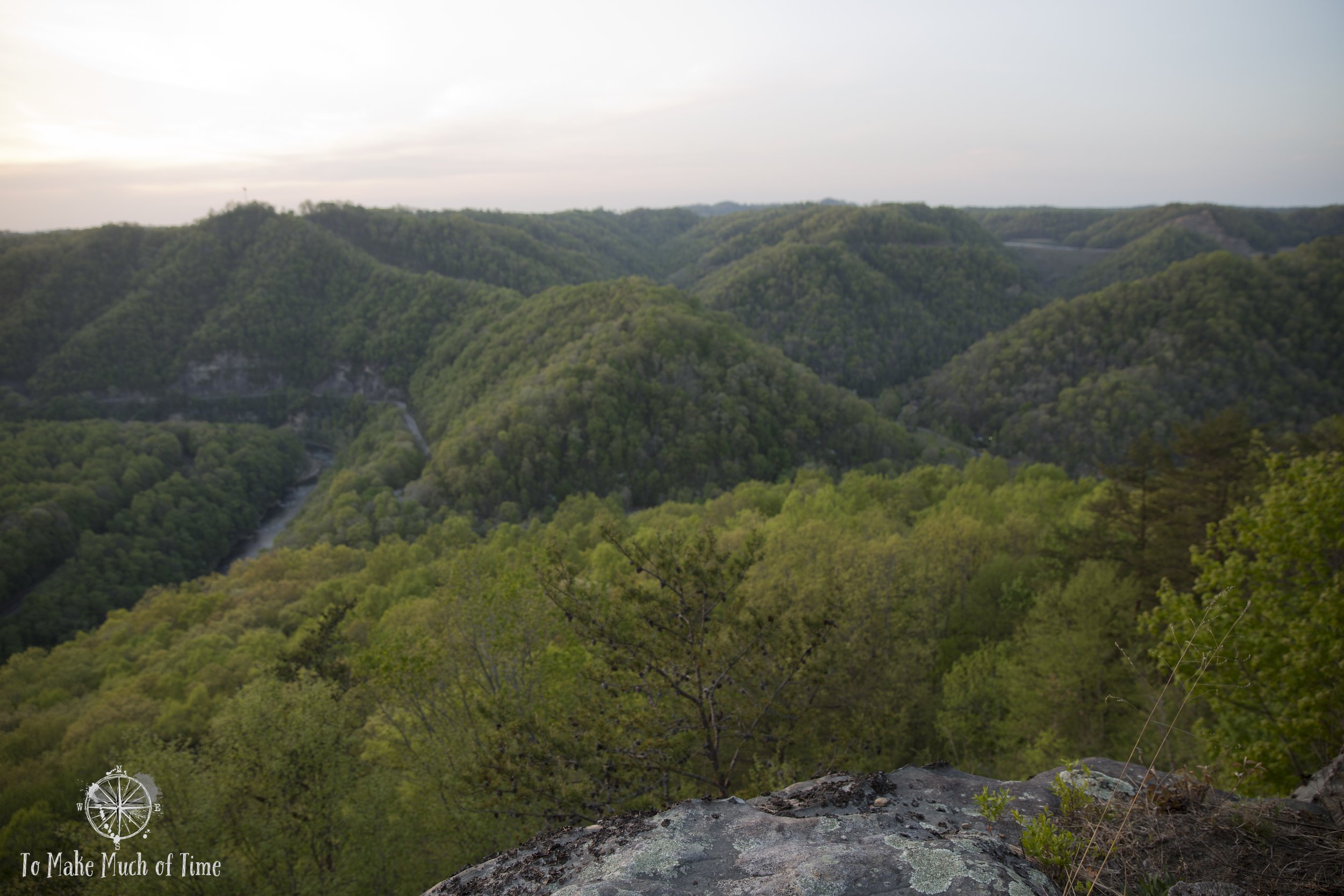
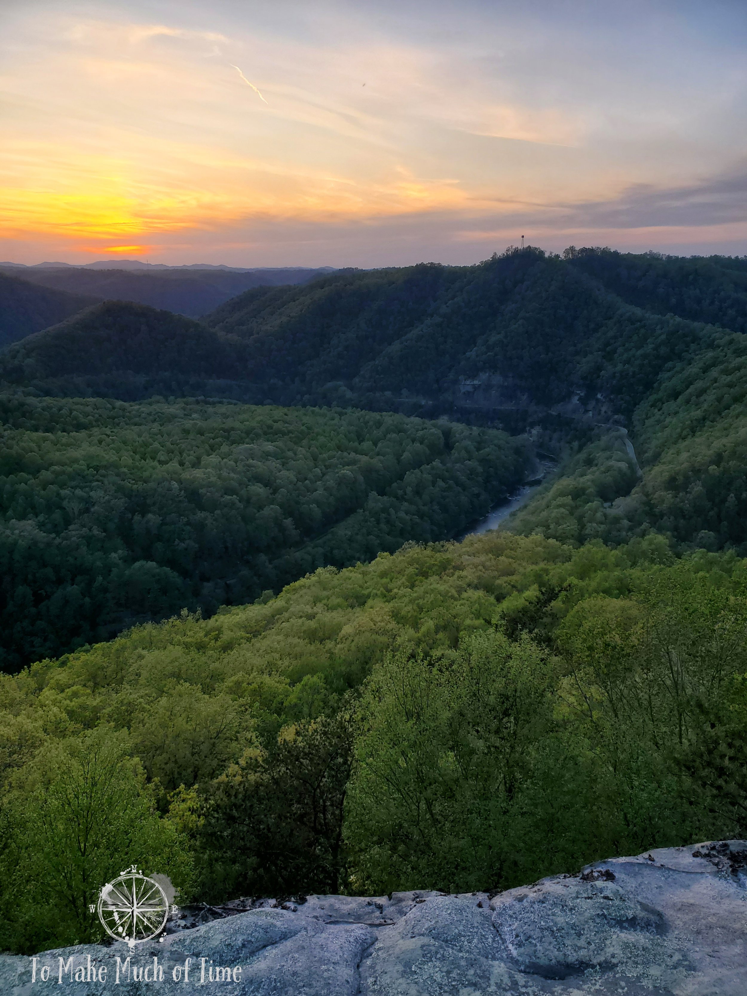
From there, we connected up with the Overlook Trail, which skirts the edge of the cliff and had many spots to look out at the vista, which included the surrounding mountains, the deep Breaks Canyon, and the rapids of Russell Fork River below. Across the canyon we could see the train track as it hugged a ledge.

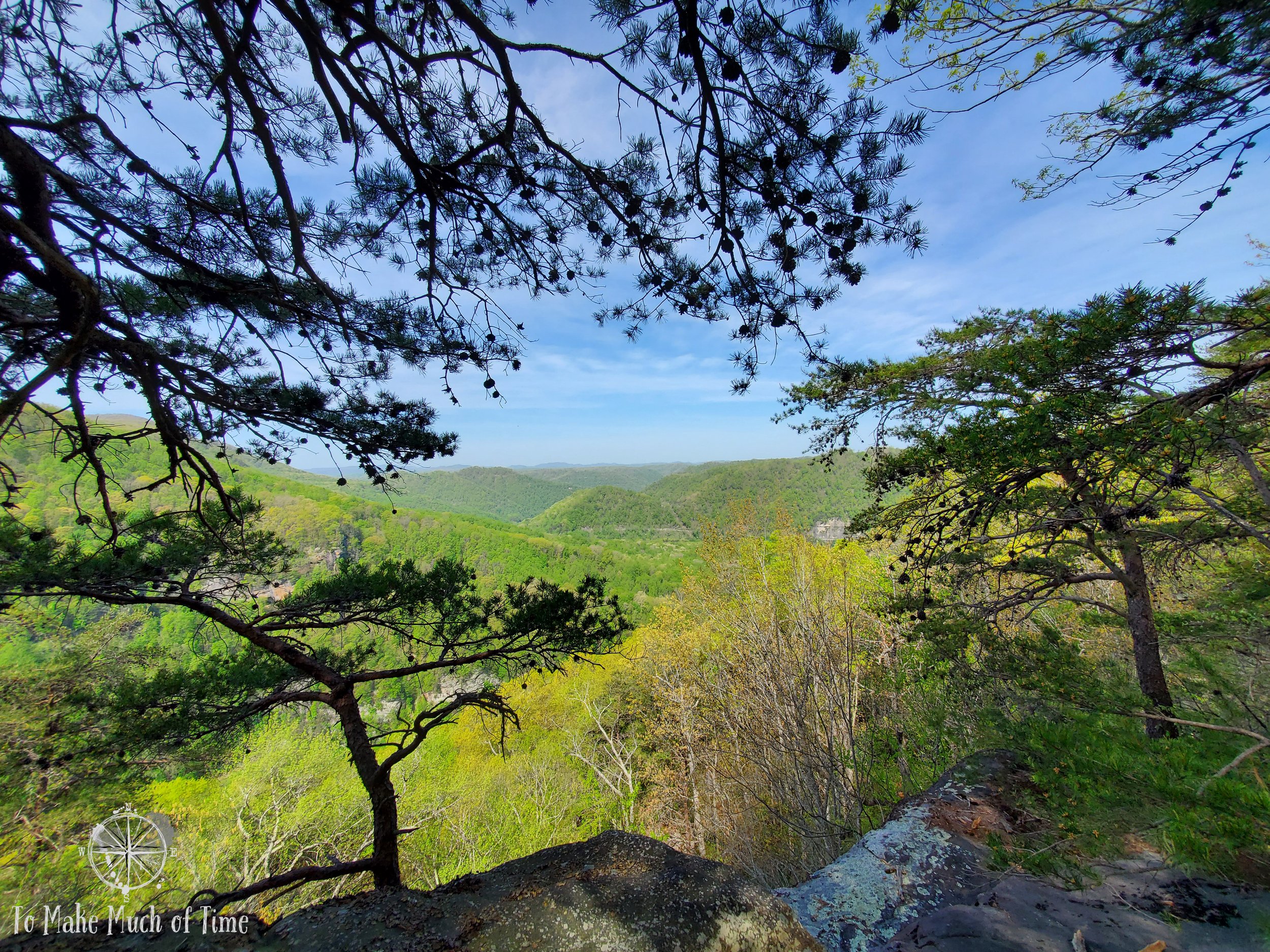
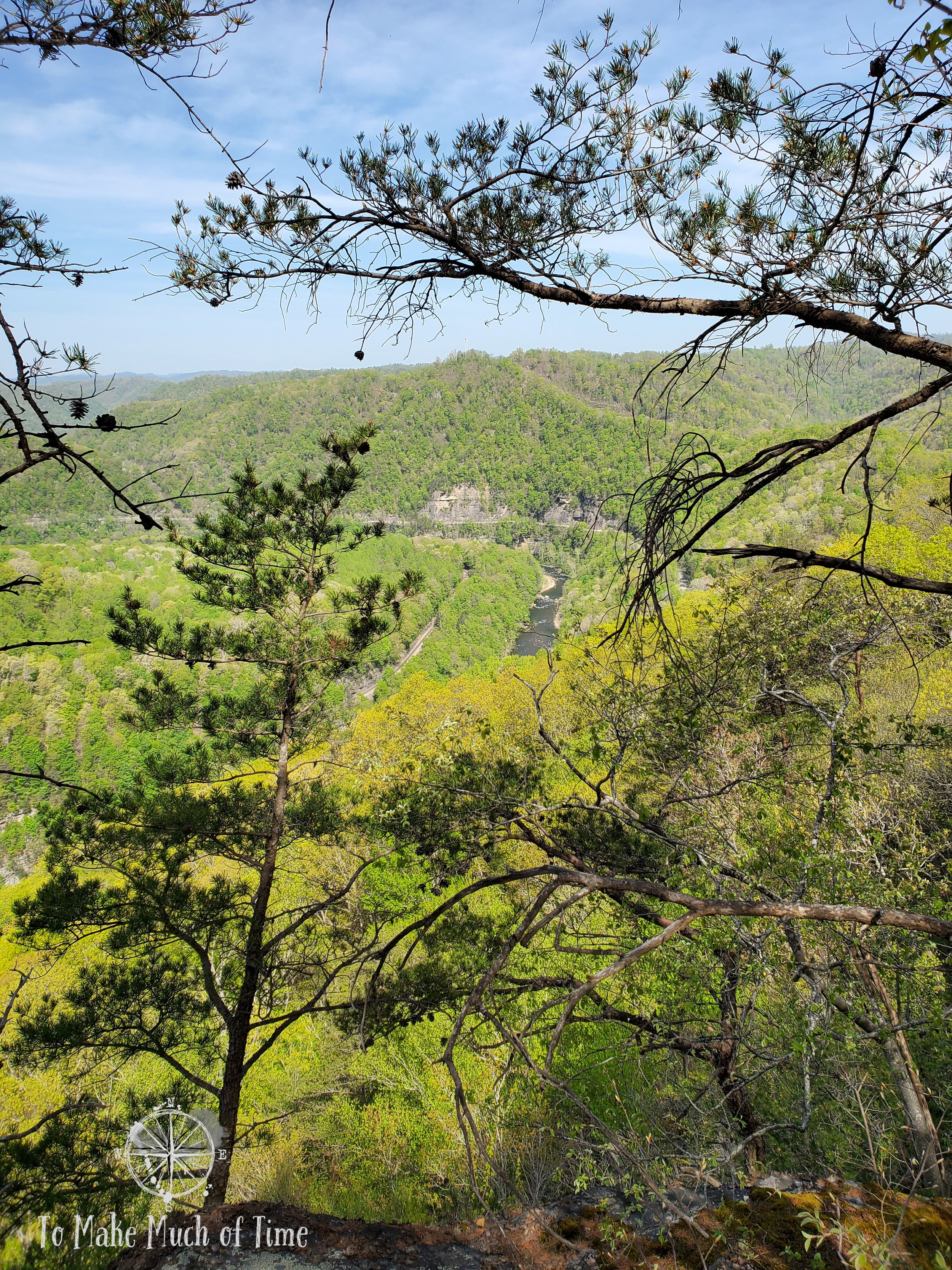
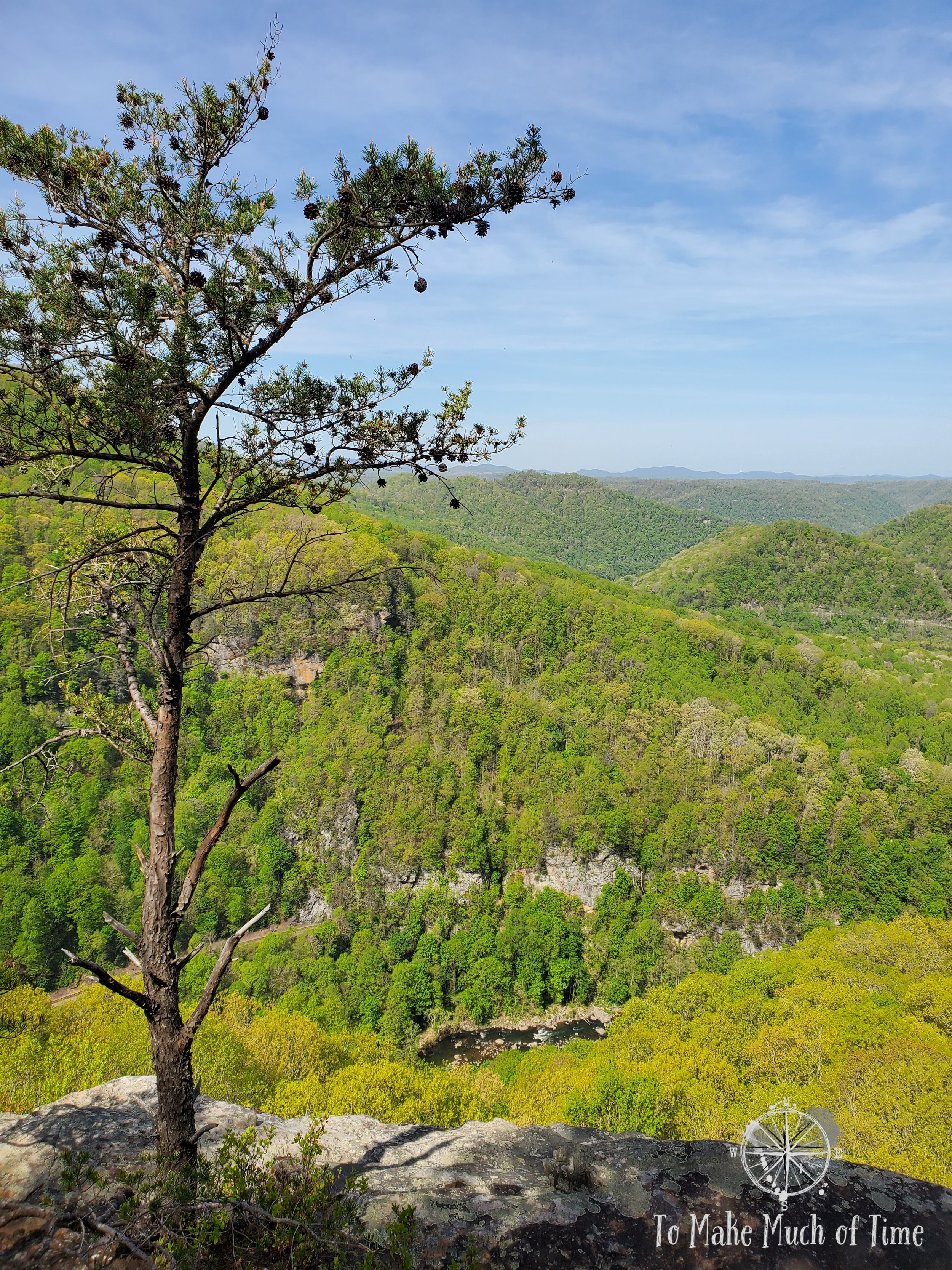
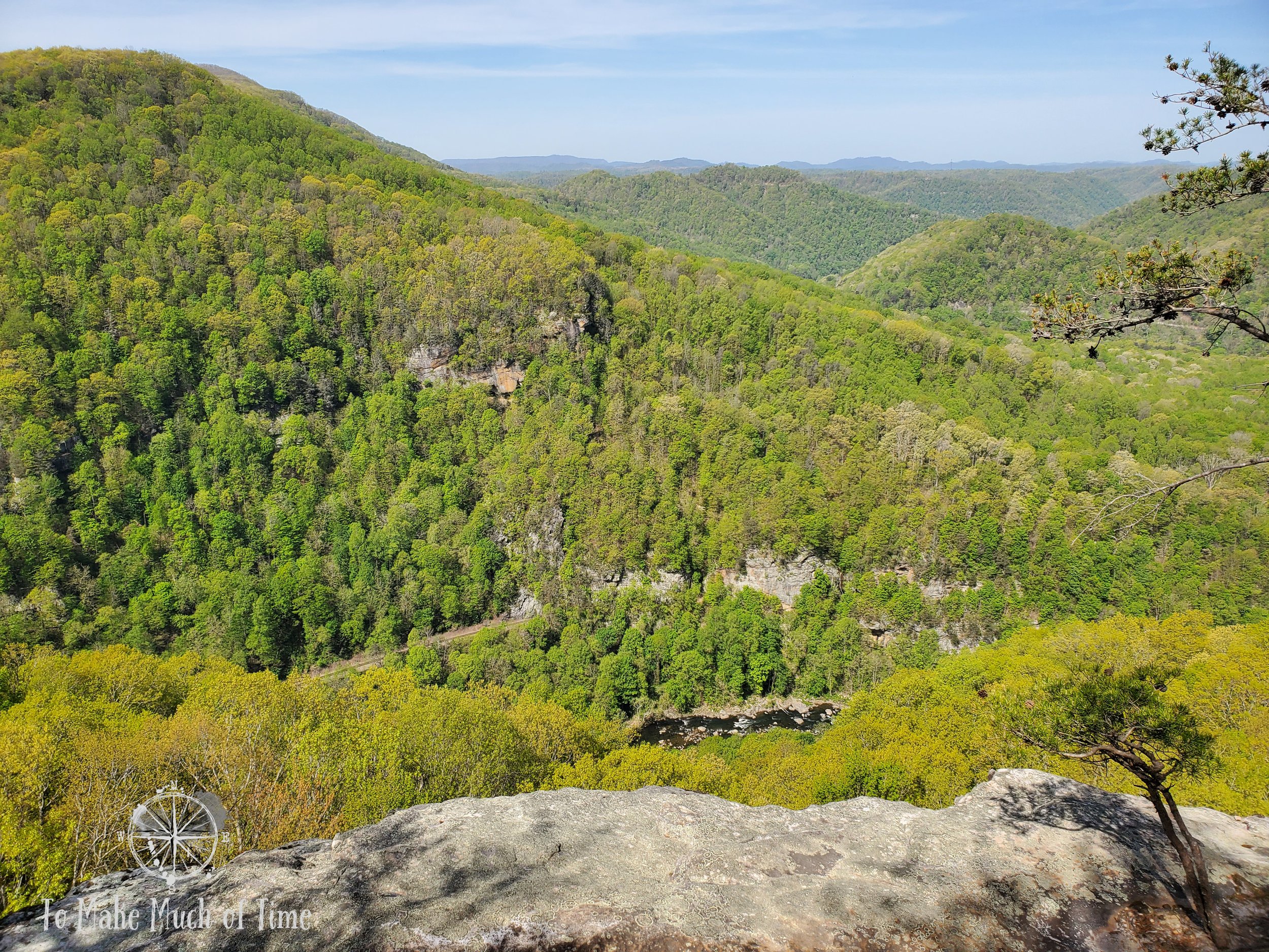
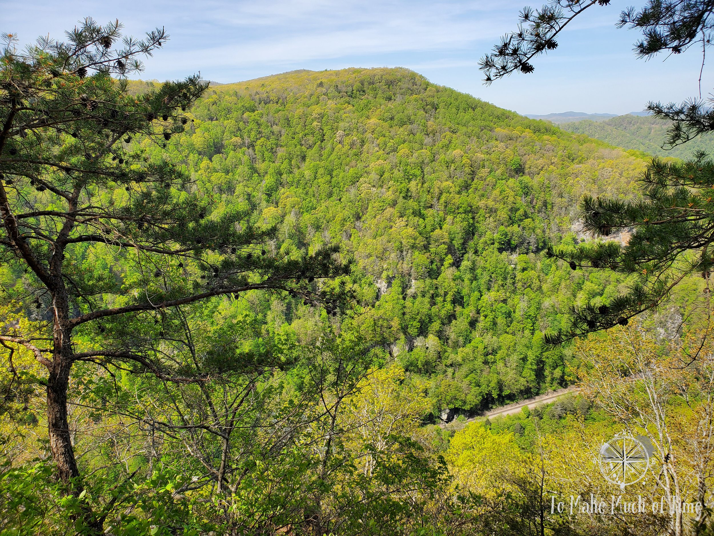
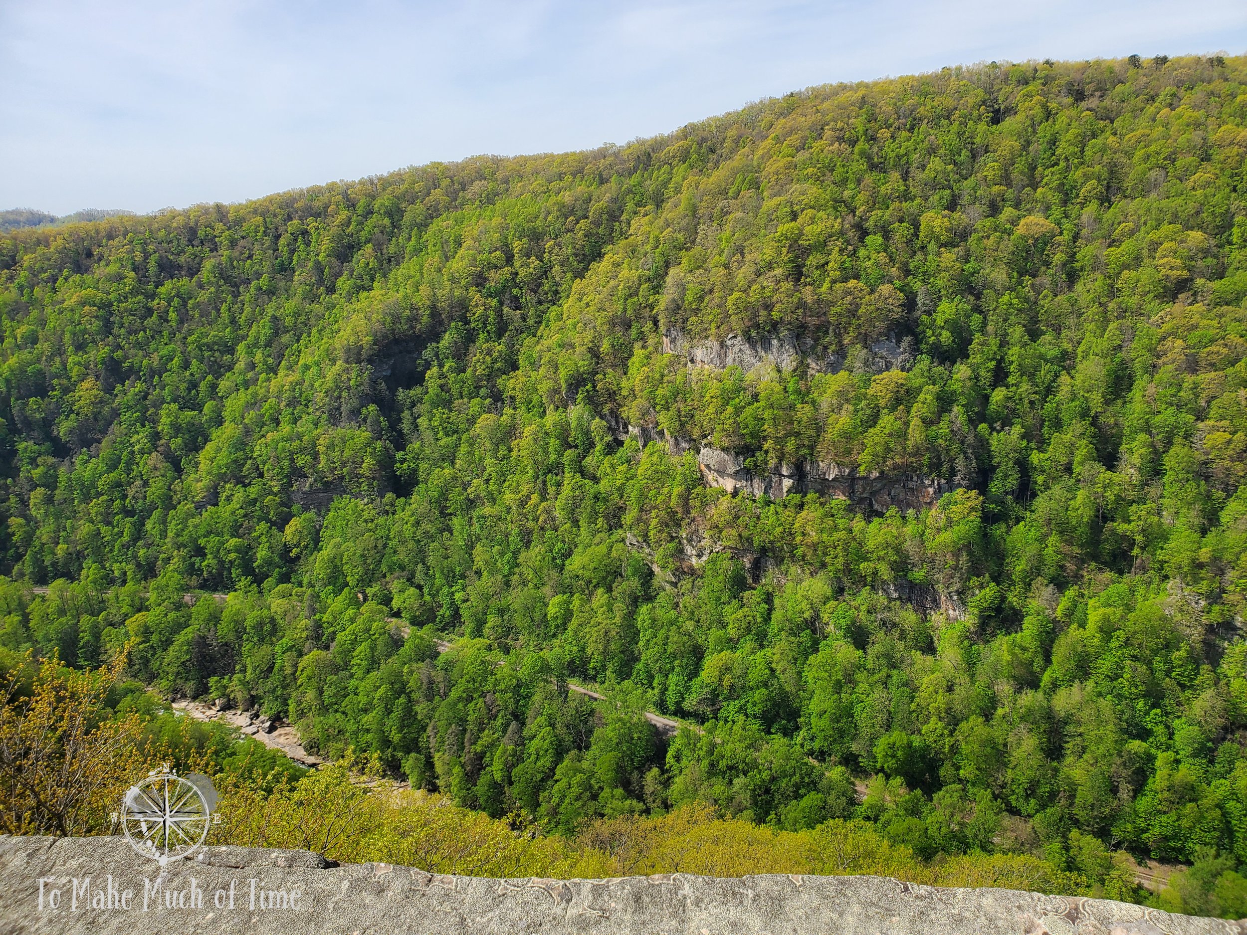
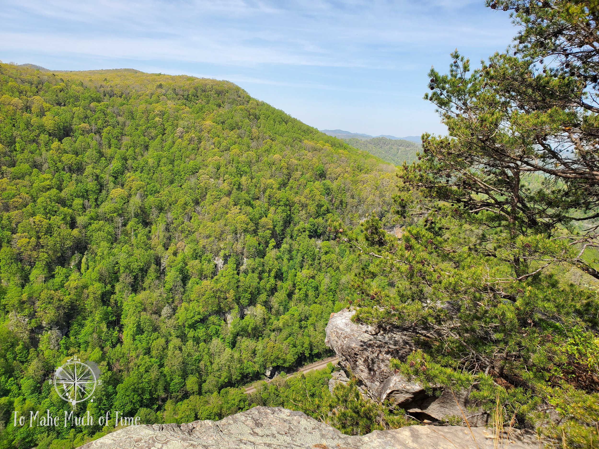
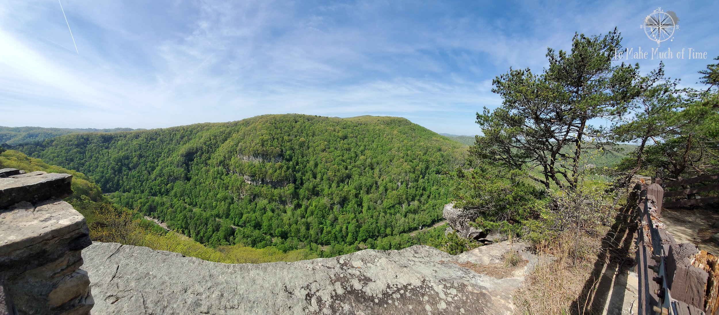
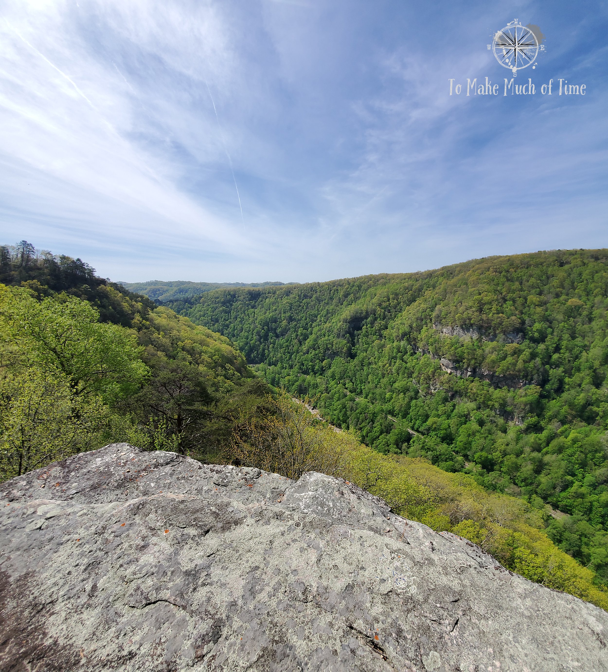
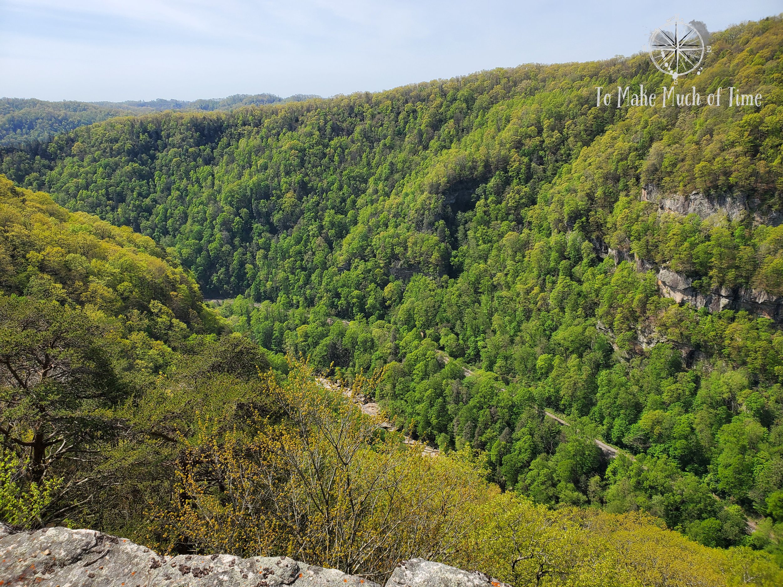
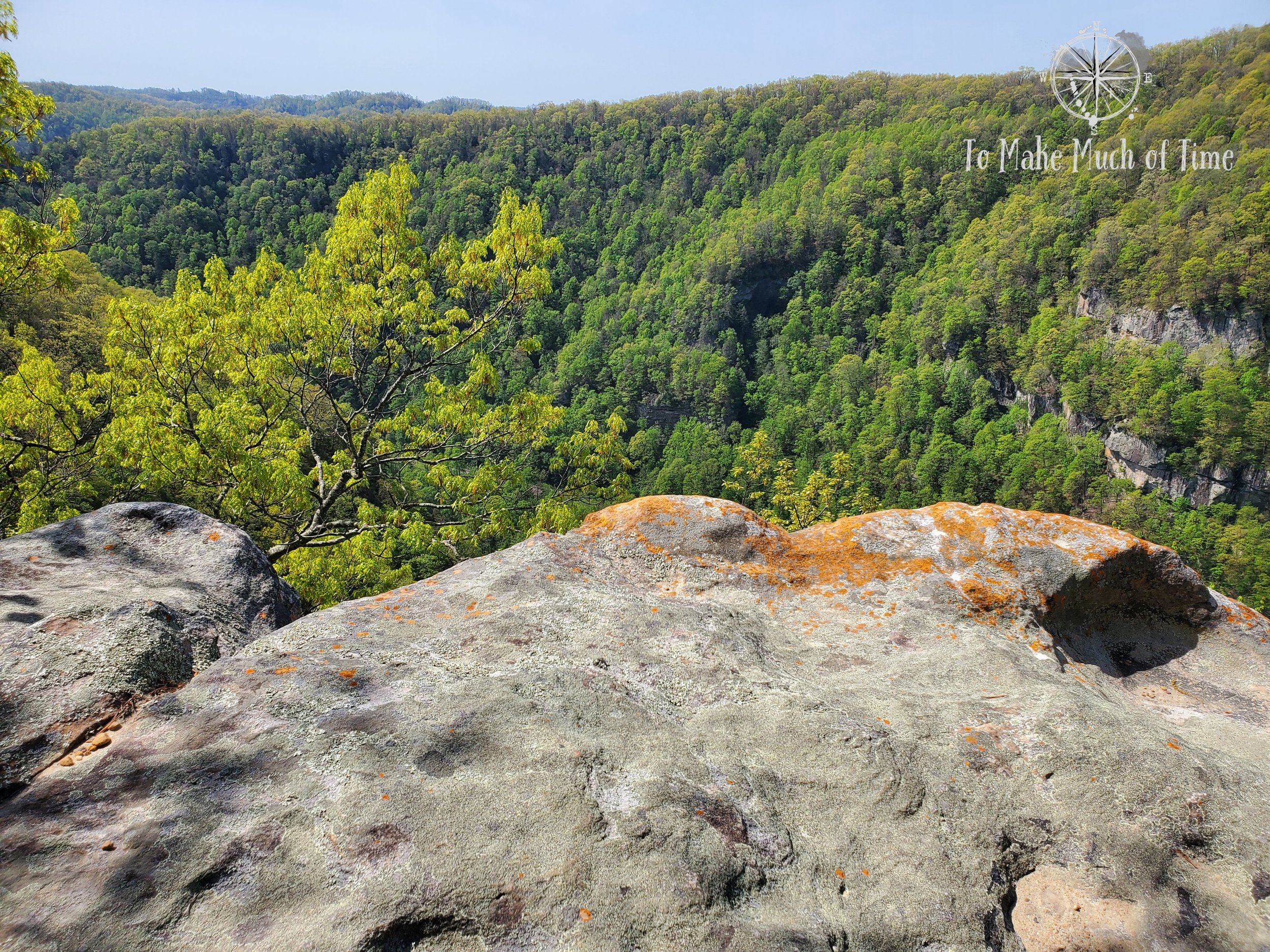
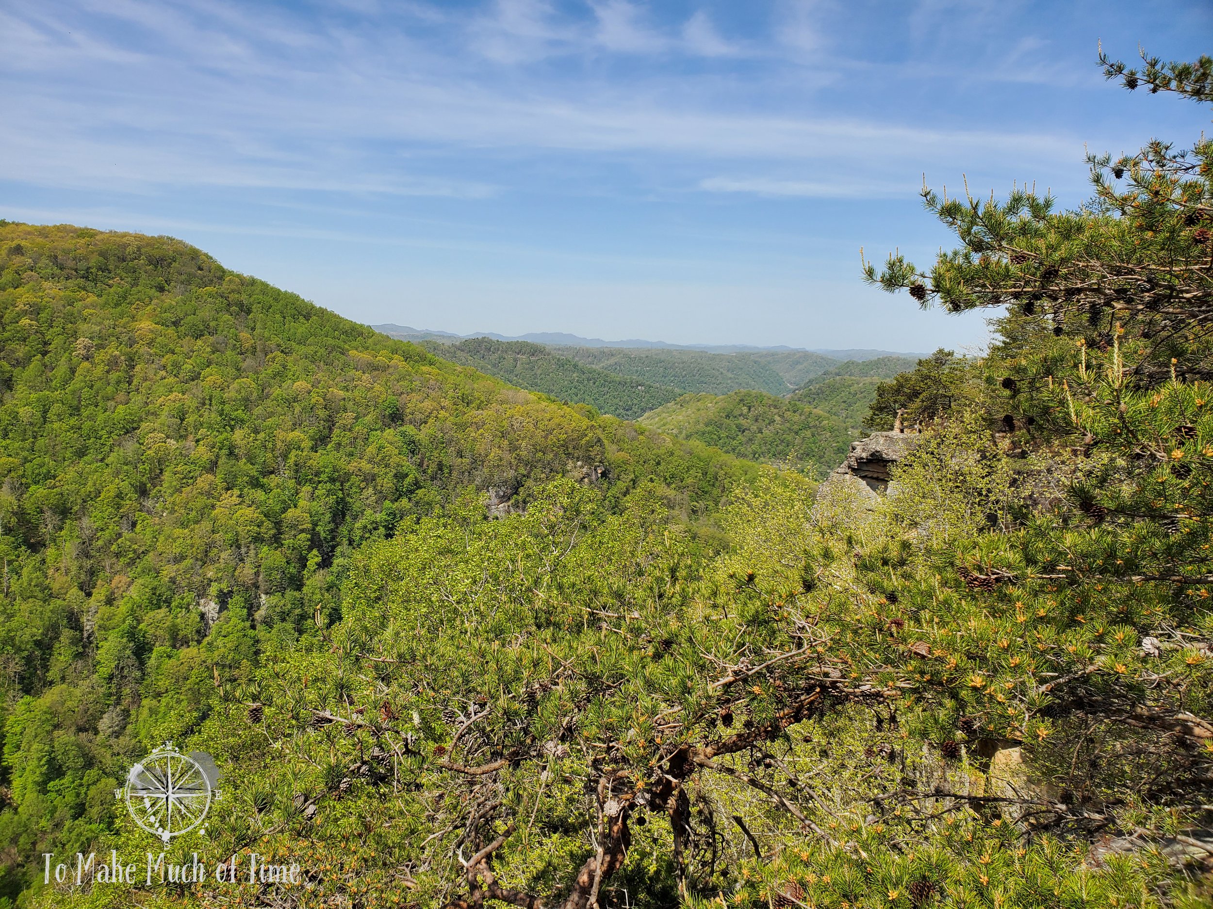

We eventually got to the Clinchfield Overlook and could see the train tunnel across the way. To get back to the visitor’s center, we had planned on following the loop road; however, there was a small footpath directly next to it for walkers - much more appealing! During this entire 2-hour hike, we only passed the one hiker, which was nutty on a beautiful spring day with morning temperatures in the 60s to low 70s.


breaks interstate park: center creek trail
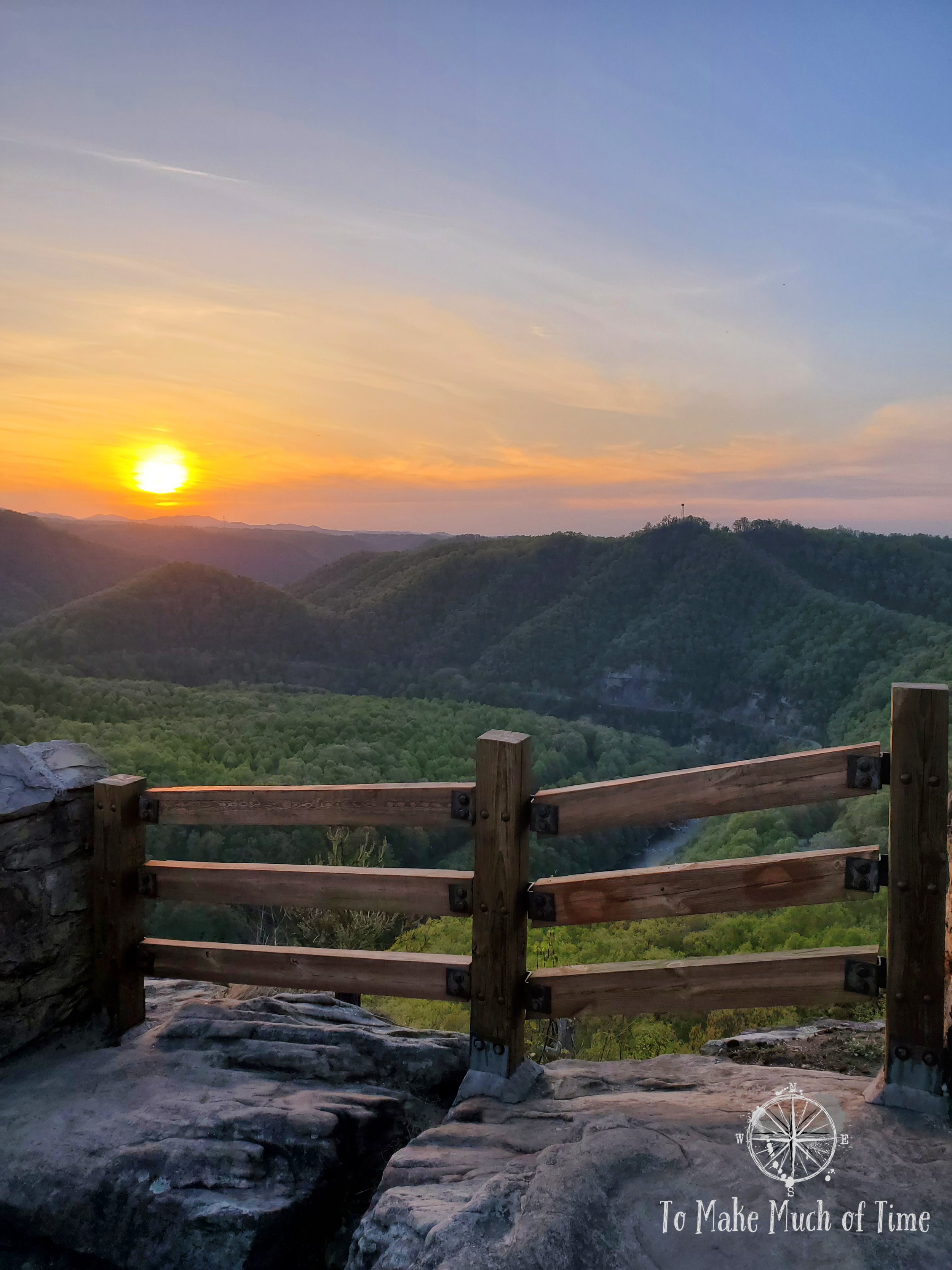
After a midday sojourn for lunch, dog walking, and a change of clothes for the warmer afternoon, we decided to drive to the second park trail outside of the main park area – Center Creek Trail. That trail is only a few miles from the park entrance and looked like it could be an access point to the bottom of the canyon. We decided to drive a bit further to check out the nearby small community of Elkhorn City, Kentucky. Population as of 2021: 999. An artist had created a number of artistically painted elk that dotted several street corners that we spotted as we drove through. We stopped at the one overlook in that area – Russell Fork Overlook, which had a number of steps down to a platform that overlooked the sweeping mountains and showing off the swirling waters below.

View from Russell Fork Overlook

View from Russell Fork Overlook

View from Russell Fork Overlook
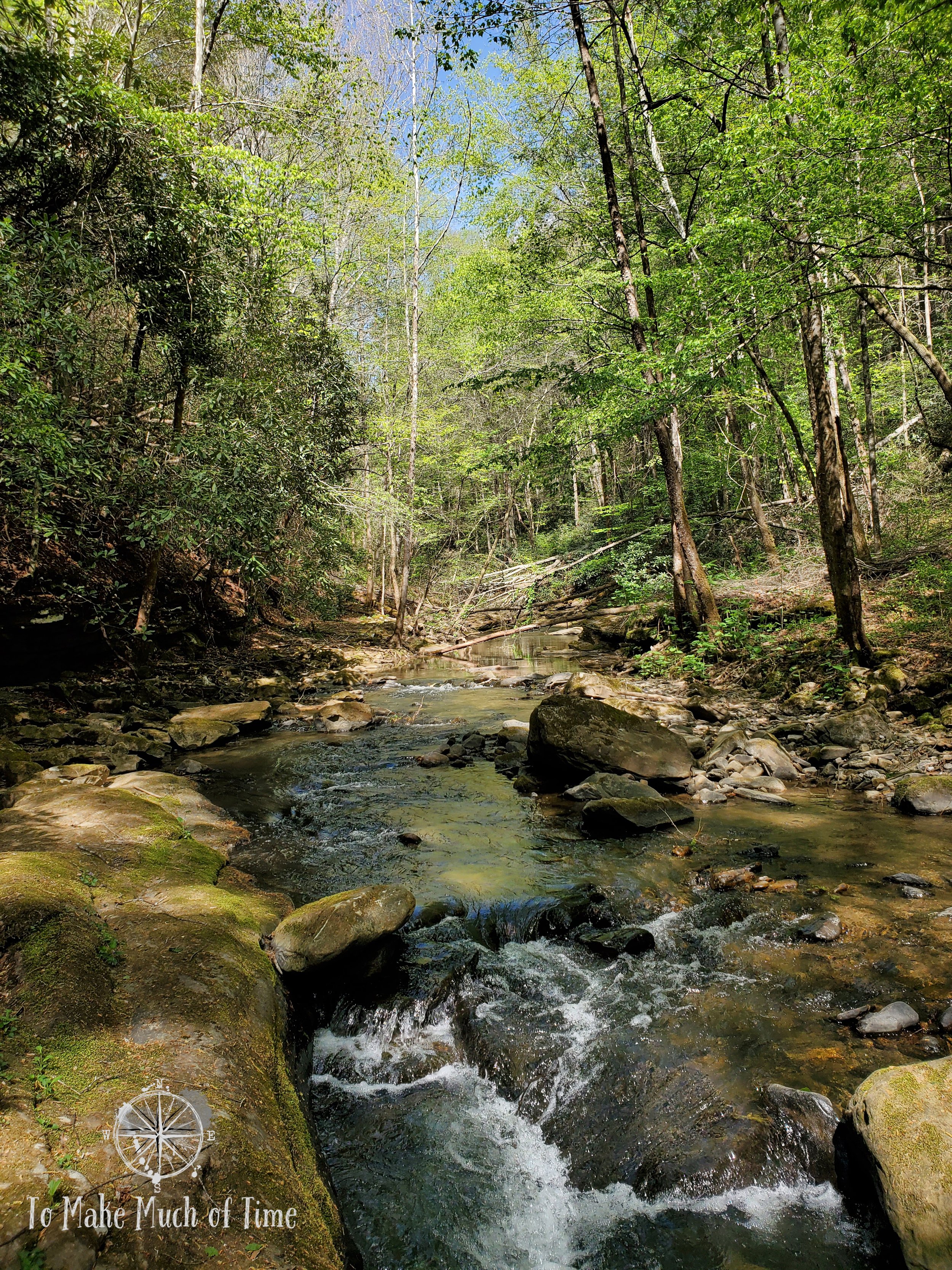
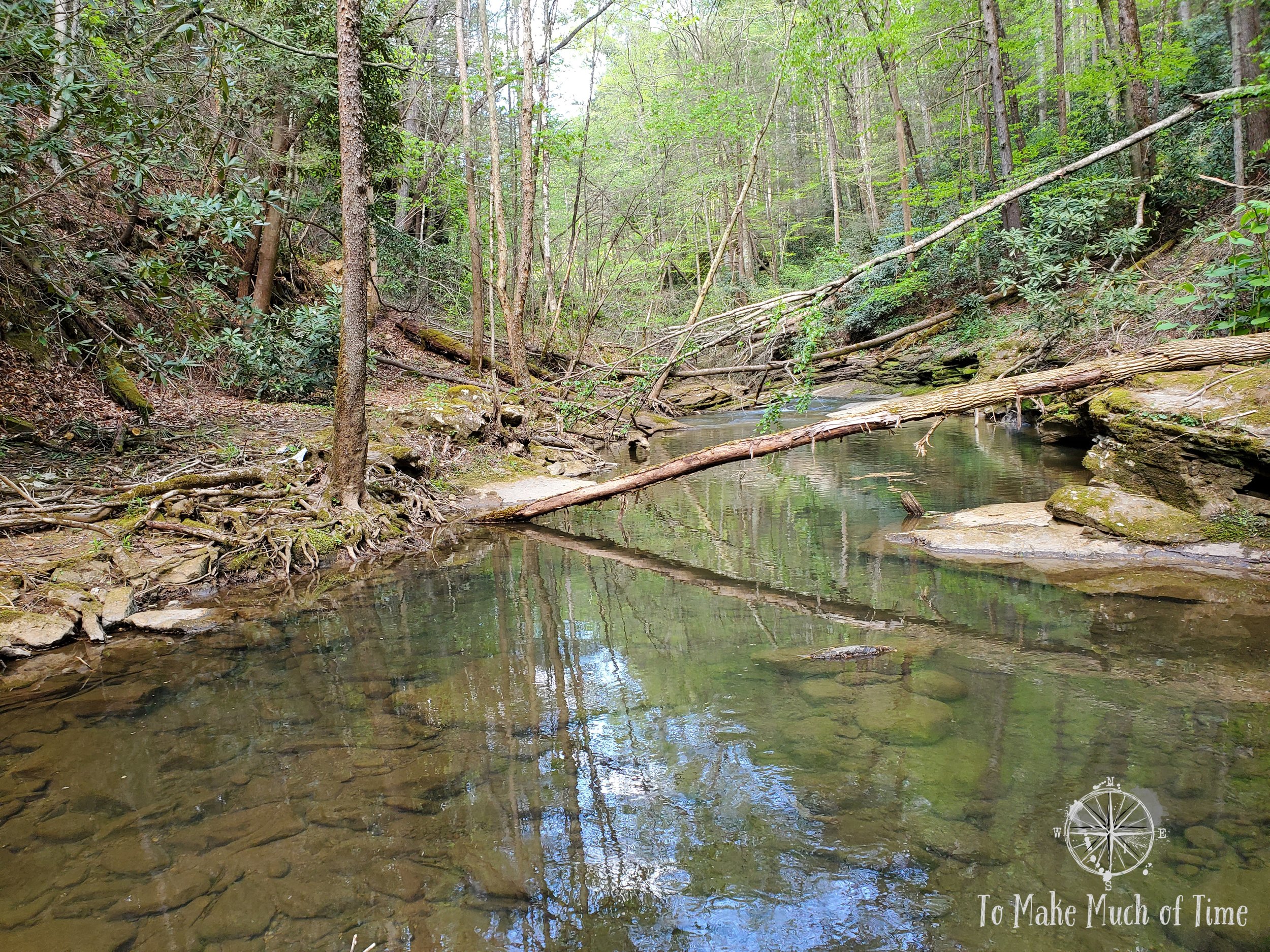
And finally, we drove over to the nearly hidden entrance of the Center Creek Trail, a 0.5 mile path that follows Center Creek down to Grassy Creek. According to the trail description, this trail is considered difficult due to the rocky terrain and creek crossings. It sounded like if we were willing to ford the river across to the land where the rest of the park is, we could meet up with the Bottom of the Breaks Trail and walk along the Breaks Canyon and Russell Fork River. Otherwise, taking the Bottom of the Breaks Trail from its starting point requires an 800 foot elevation descent and ascent and is marked extremely difficult.
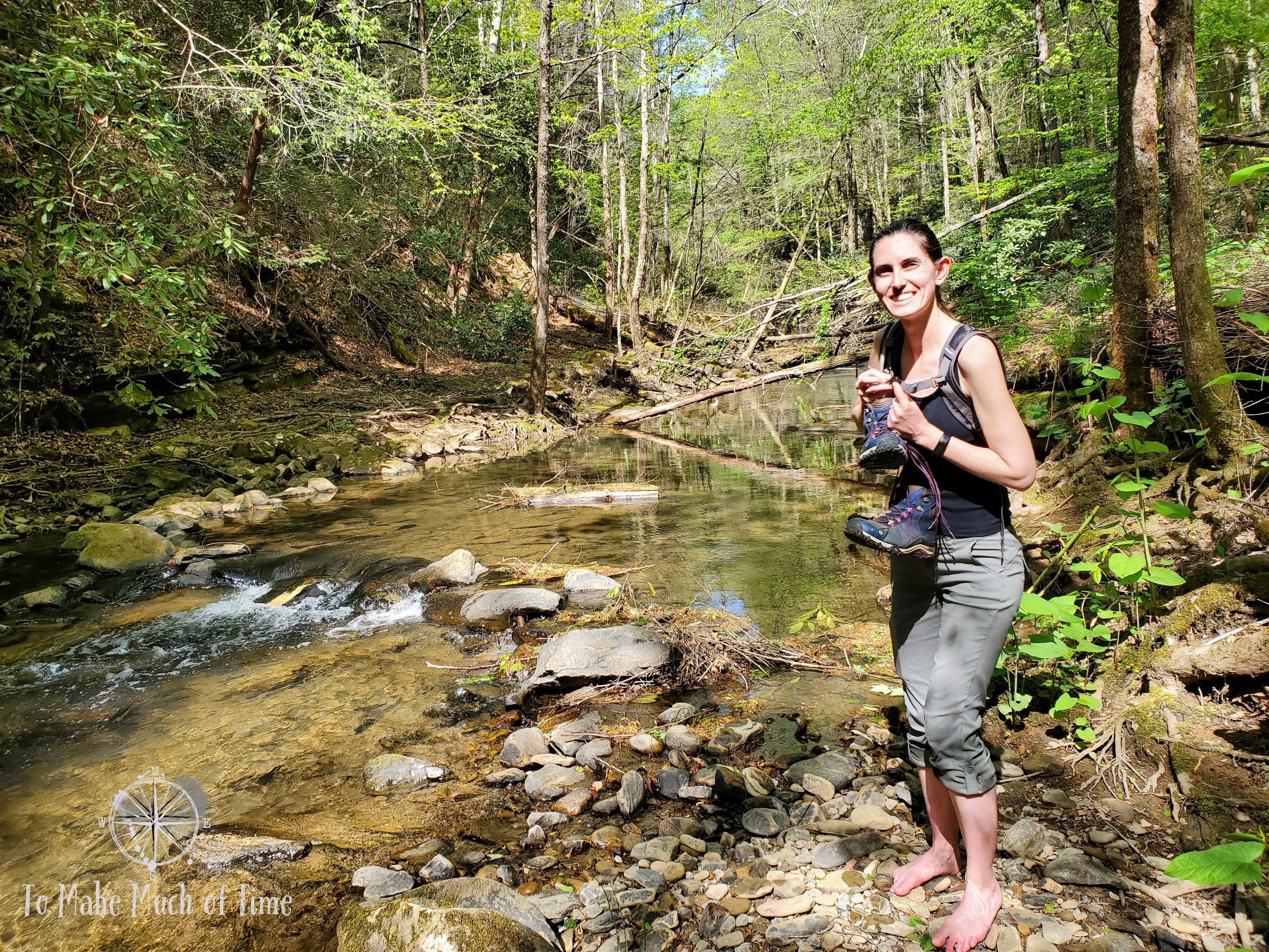
Center Creek Trail followed the shore of Center Creek and then reached a rocky ledge area. It had not rained recently so we climbed down some rocks and in one slightly larger step could cross Center Creek easily enough. From there, the path veered steeply uphill and meandered down to the river we would need to cross in order to meet up with the Bottom of the Breaks Trail. Dustin was totally comfortable with the idea of removing his shoes and socks and carefully walking across the mostly rocky, partially sandy creek that was about a foot deep and 15-20 feet across. I was not at all comfortable, made less so when I watched a 6-inch crawfish scrambling around on the bottom. I’m not sure how many people meet their demise each year due to a crawfish but I mean it’s possible, right? But I was sweet talked into crossing, mostly willing to do this for the promised outcome of walking a good distance along the pretty secondary trail we were headed for. Dustin pulled out all the stops, saying things like you’ll regret it if you don’t do it. I was well aware that once I crossed it, I’d have no choice but to do the same on the return trip . . . or just permanently set up a home there, which shouldn’t be ruled out as an option. I gave in to peer pressure, and I’m not going to lie: it was pretty tricky and hurt like hell on the small tiny rocks at the other shore that felt like they were cutting into my (apparently soft baby) feet. In my favor is the fact that I am able to put on shoes and socks while balancing on one foot so at least that was simple!
Our feet slightly dampening our socks, we continued on the Center Creek Trail, which veered uphill at a relatively steep clip, and then – alas! – we met up with the yellow blazing of the sought after Bottom of the Breaks Trail, took a right and before too long came to . . . a gushing creek headed downhill with no safe spot to cross and lots of slick rocks. This was definitely a WTF moment because nowhere in anything we had read about this trail did it mention that at the bottom of the 800 foot descent, you’d find yourself at an unsafe crossing point. After looking around to confirm that we were reading the trail correctly – and we were, with yellow blazes visible on both sides – we headed back. In this direction, we noticed that right as we took a left to return to our original path, straight ahead was the Bottom of the Breaks Trail coming down. The path was strewn with multiple downed trees and tree limbs and clearly had not been maintained recently. Back at our computer, I tried searching for online reviews and information about this trail to see what others experienced and could find none, which is a first for me when it comes to trails! Clearly this one is rarely used.
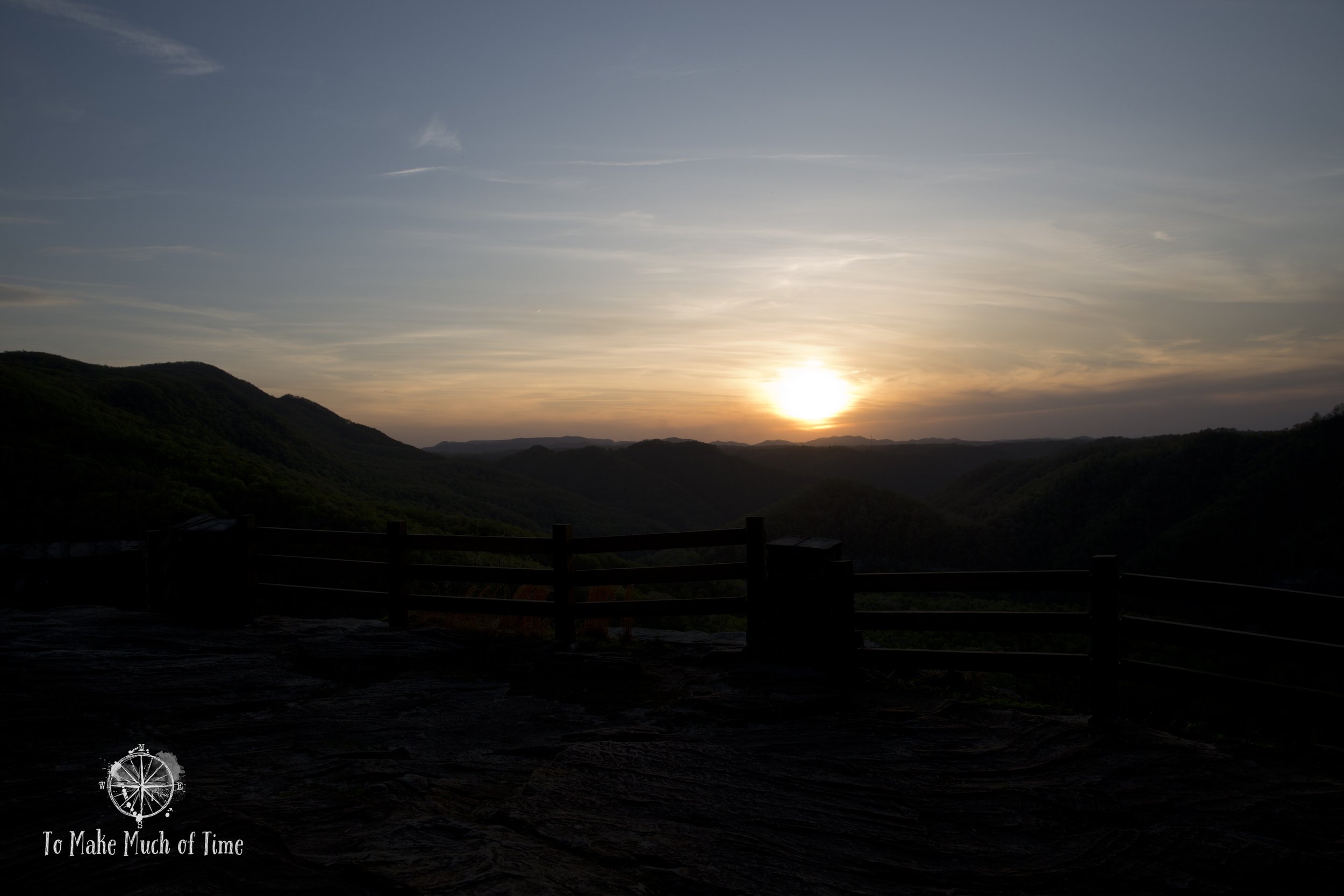
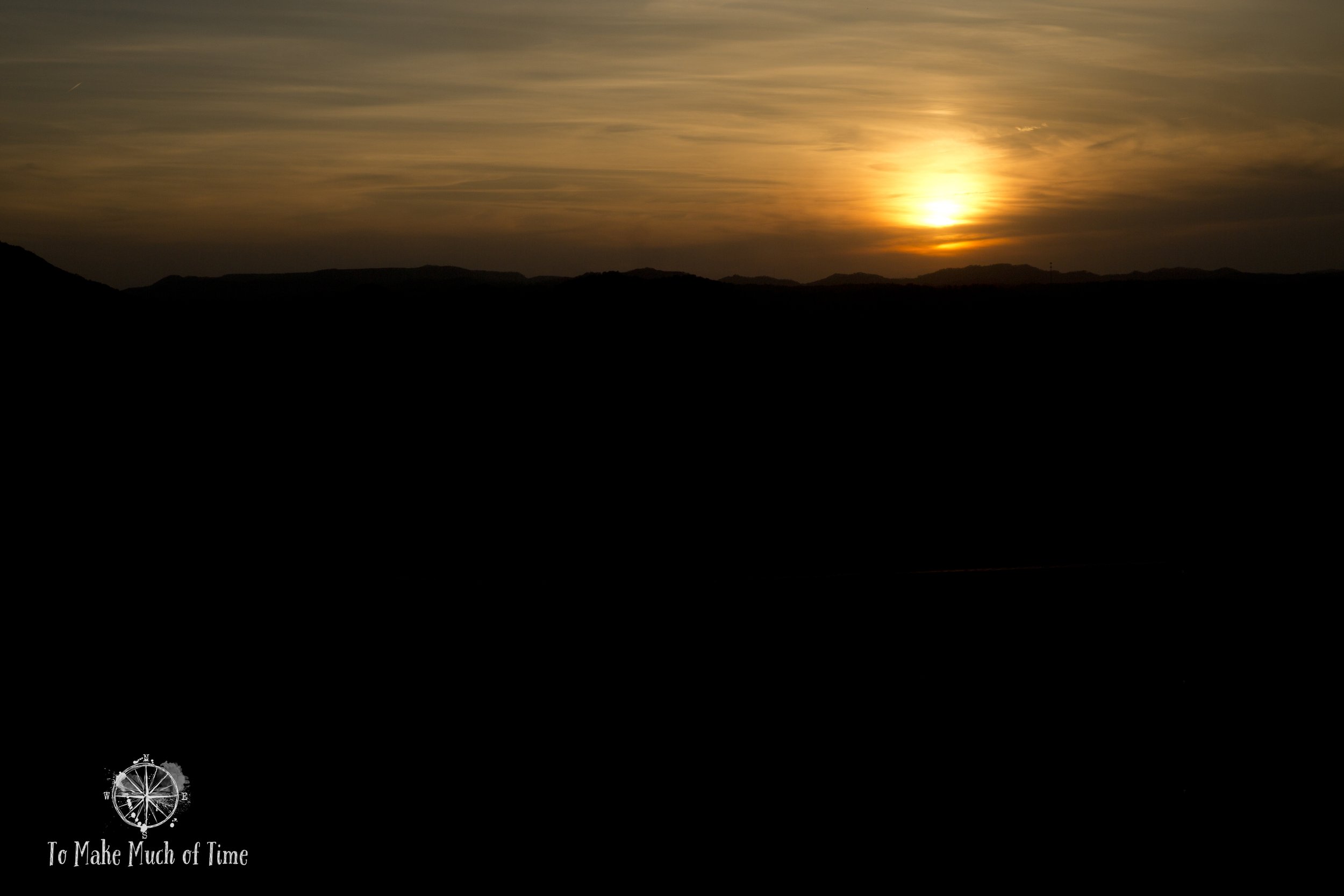
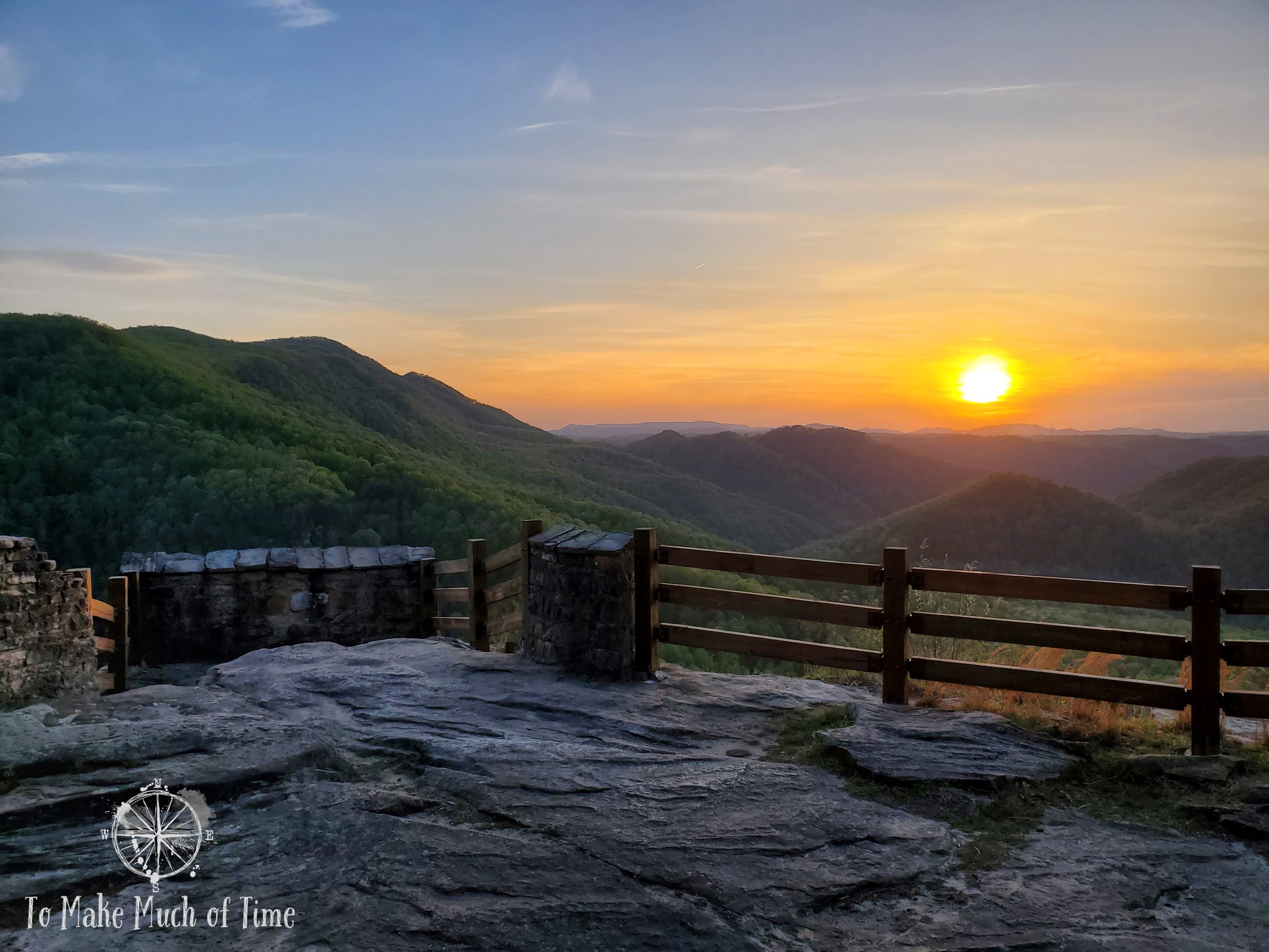
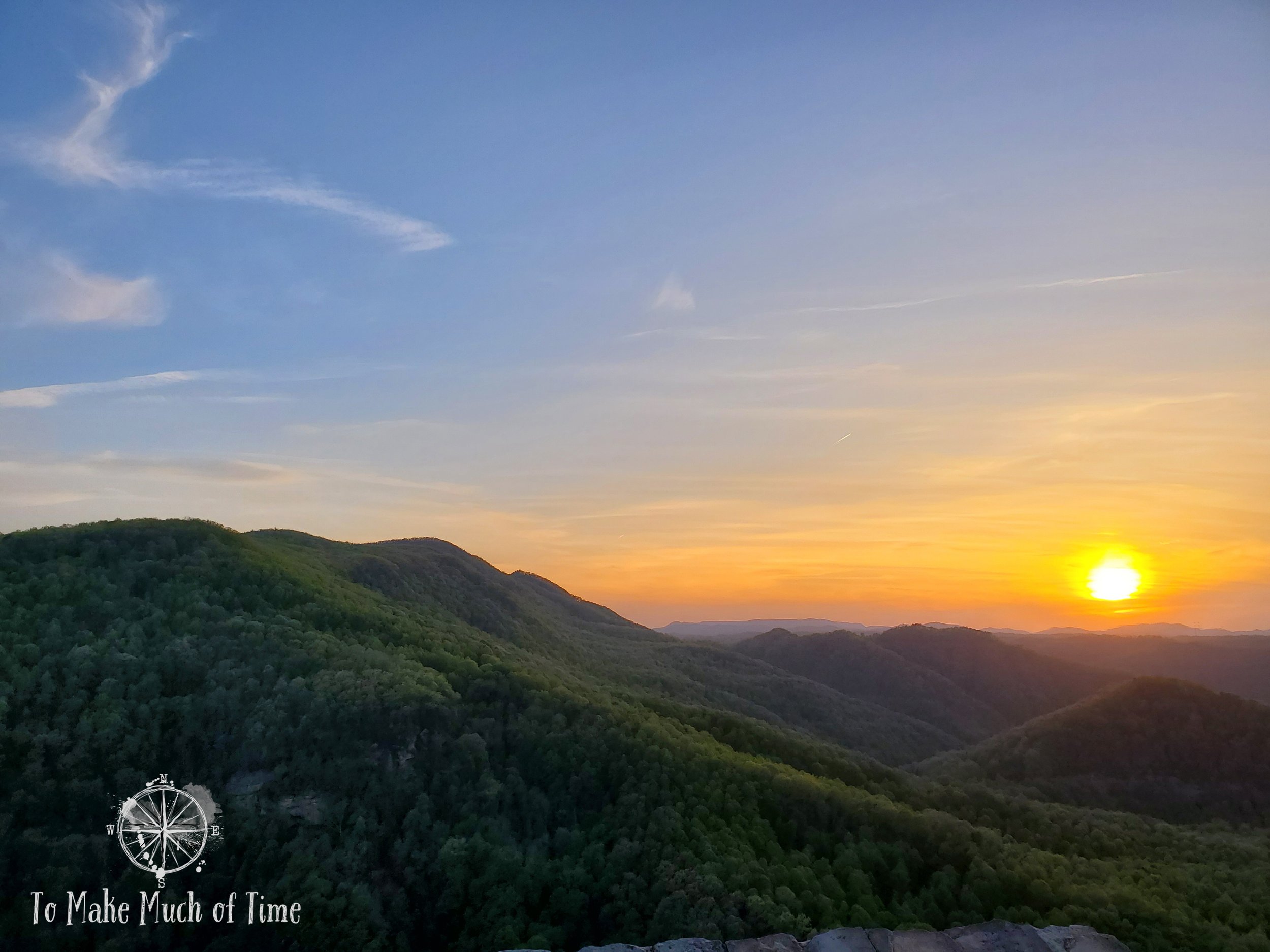
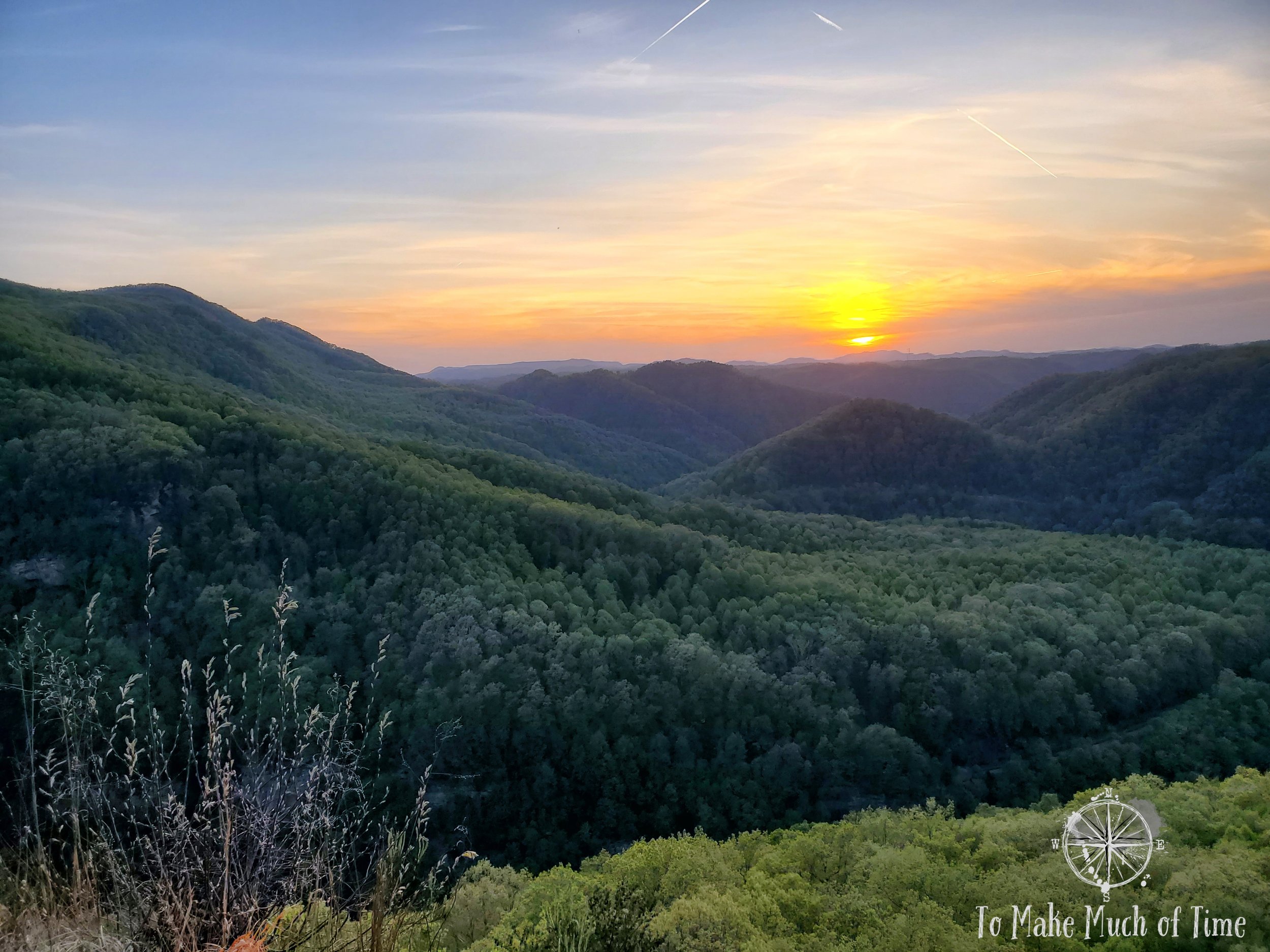
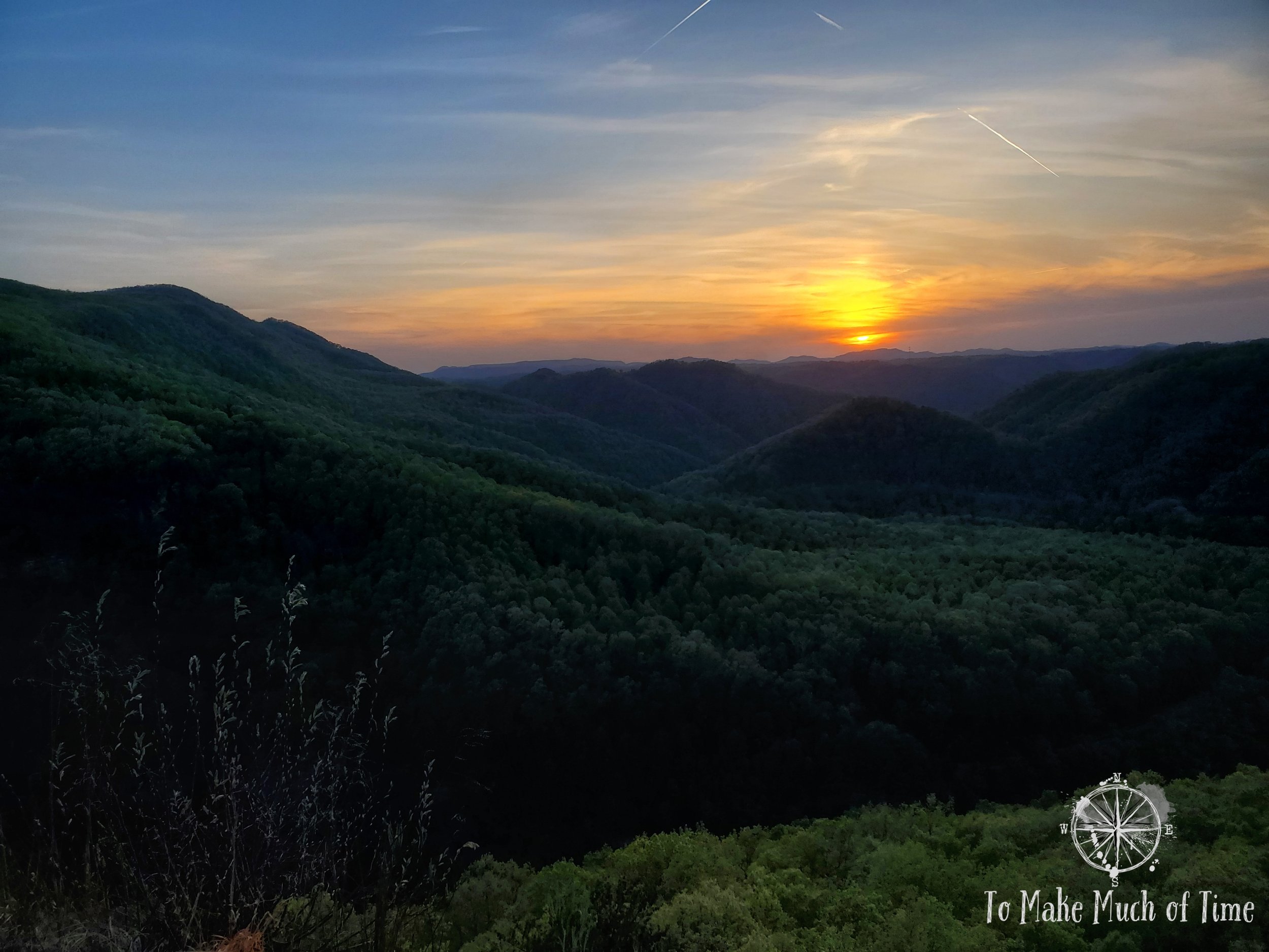
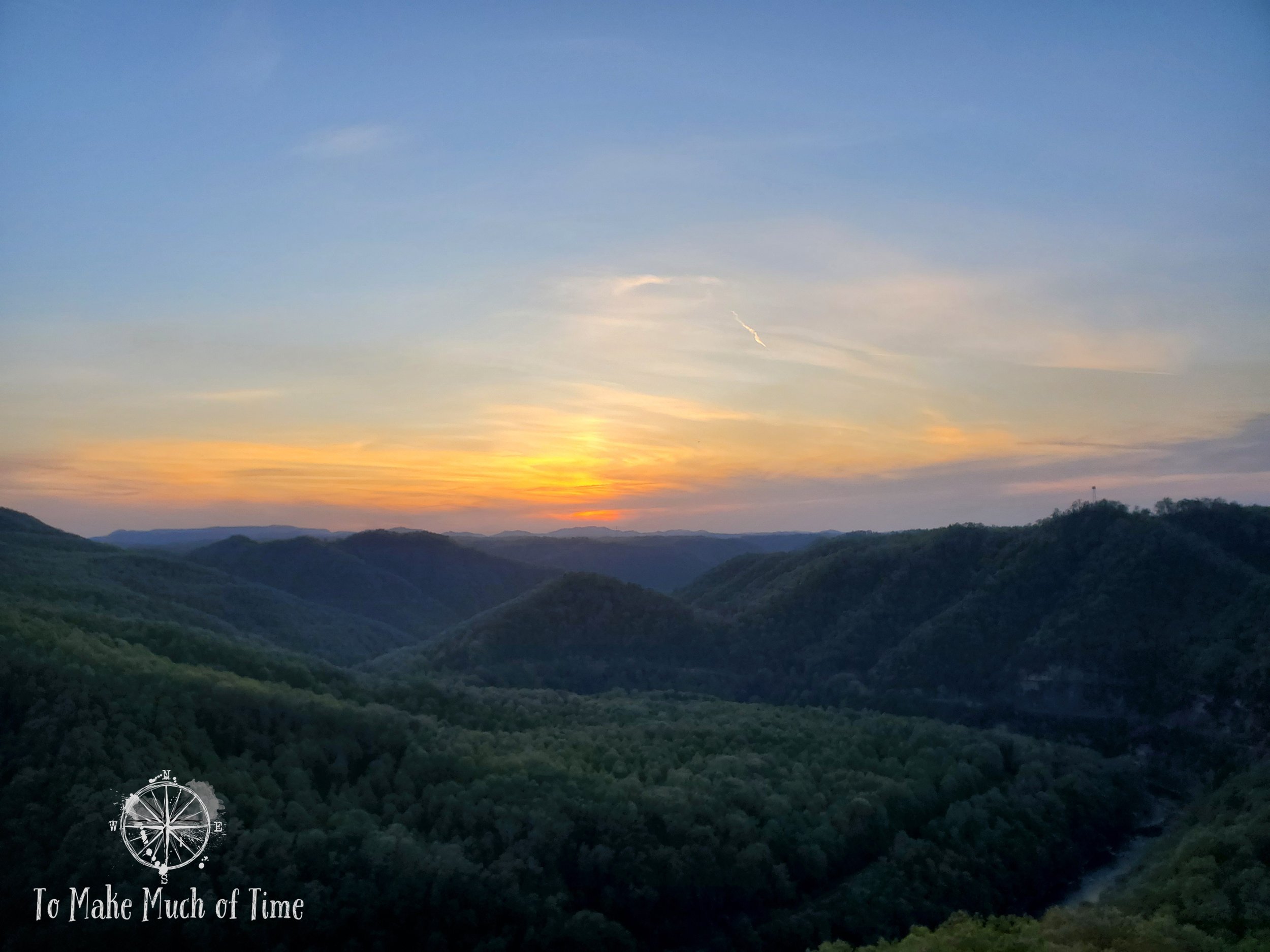
In the evening, after dinner, we headed over to take some sunset photos. With all the mountains, we weren’t sure whether we’d be able to get a good shot of The Towers with decent lighting. We drove over to the Towers Overlook and Mill Rock Point Overlook, and the sun was already hidden behind other mountains, a full 30 minutes before sunset. So, we returned to the Stateline Overlook and were surprised to have a couple of other vehicles there given how sparsely any spotting of other people had been the entire trip. We watched the sun set over the Kentucky mountains, a beautiful ending to an outdoorsy day!
Click the image below to save this post to Pinterest!

Check out other posts in this trip series:


