
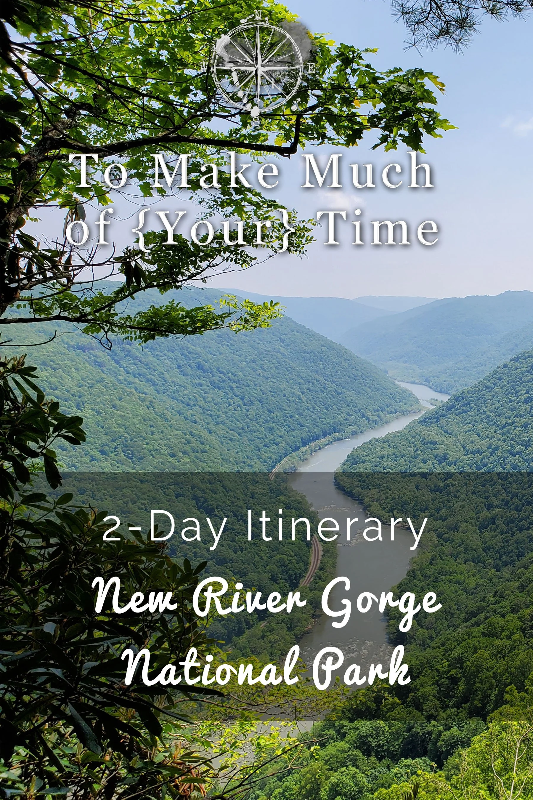
New River Gorge National Park 2-Day Itinerary

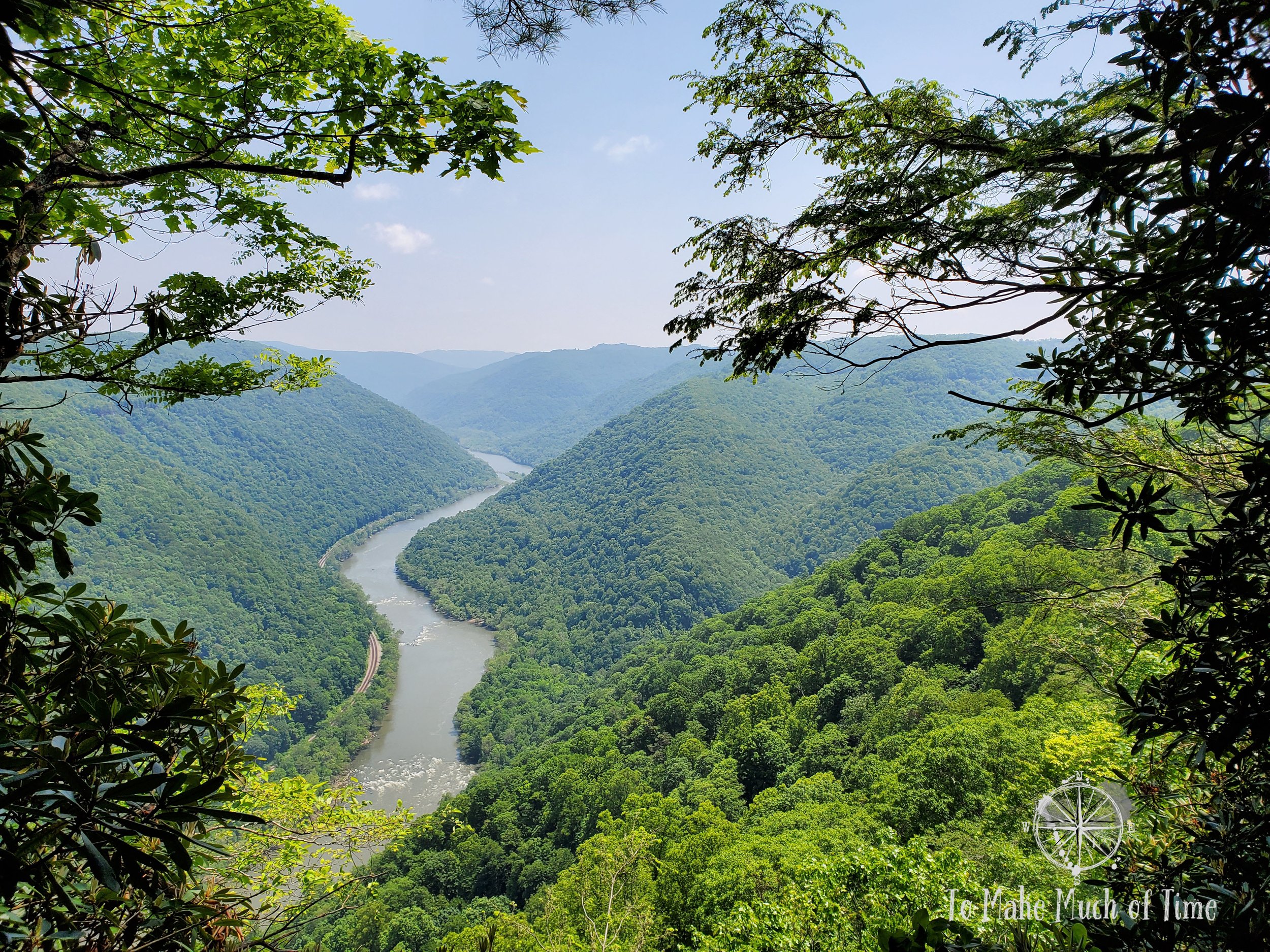
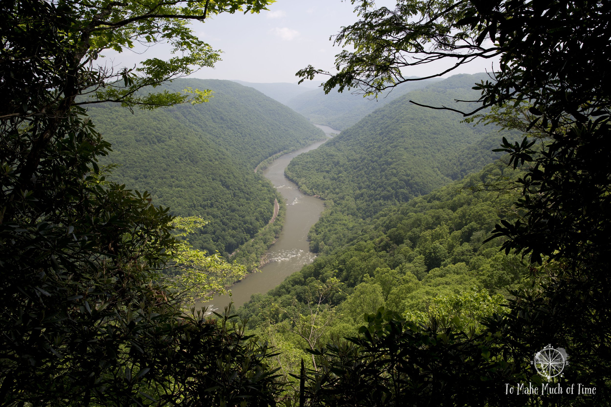
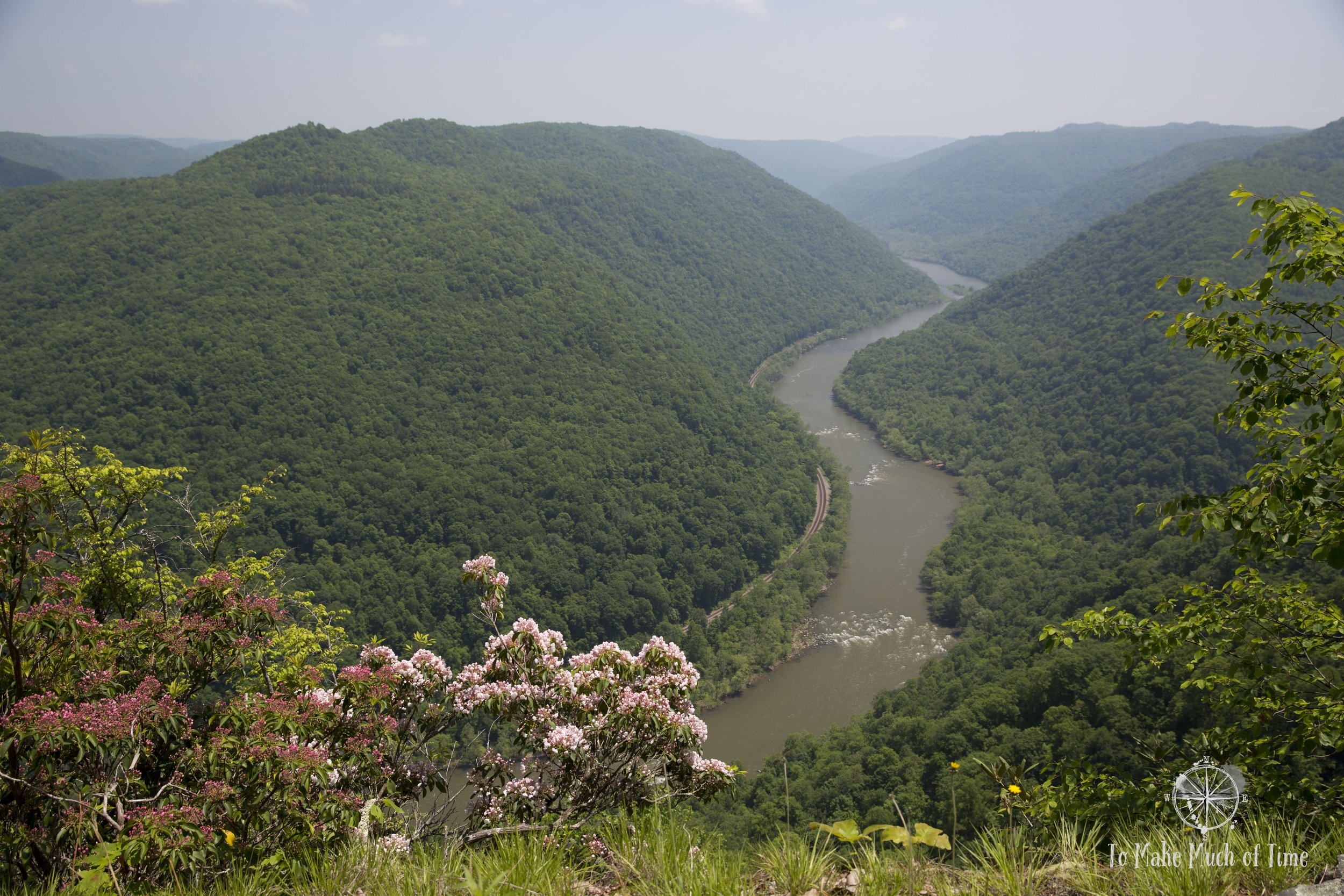
The sight from Grandview at New River Gorge National Park in West Virginia
Note: Some links throughout our site are affiliate links, which means we may receive a small commission at no cost to you.
This is the second post in a series for this trip. You can view links to the other posts at the bottom of this one.
Two day itinerary for New River Gorge National Park
New River Gorge National Park is one of the newest spots to earn the national park designation, which it received in 2020. While there are endless options for how to spend time in the area, and you’d need a lengthy trip to take it all in, a well-planned two day visit can still render visitors in awe of the area’s grandeur. See a quick overview immediately below with any more details and driving route maps when you read on!
make the most of two days in new river gorge national park
Tip: The area of New River Gorge National Park is fairly spread out so being intentional about what sites you plan to visit in which order will make a big difference. For our two days, we stayed in Glen Jean (read more about our rental house here or check it out on VRBO), a little south of Fayetteville, which is a great jumping off point. We visited spots to the south of us one day and to the north the other day and found that to be a great plan.
Day 1: We headed south. We started the morning at Grandview Visitor’s Center where we hiked the Castle Rock Trail and Grandview Rim Trail for a total hiking distance of 4.2 miles. From there, we drove an incredibly scenic route that hugged first one and then the other bank of the New River en route to Sandstone Falls with a unique combo hiking and boardwalk trail across two small islands in the middle of the river. The Island Hike provided waterfall views and was short at 1.2 miles in length. We closed out the day visiting the ghost town of Thurmond. Swathed in gorgeous late afternoon light, we hiked through the once bustling town, now mostly deserted. Vines and nature are in various states of subsuming homes - some modest, some once splendid - set into and on top of the steep hillside. We added another 1.5 miles walking through the town, clocking in a total of 6.9 miles for the day.
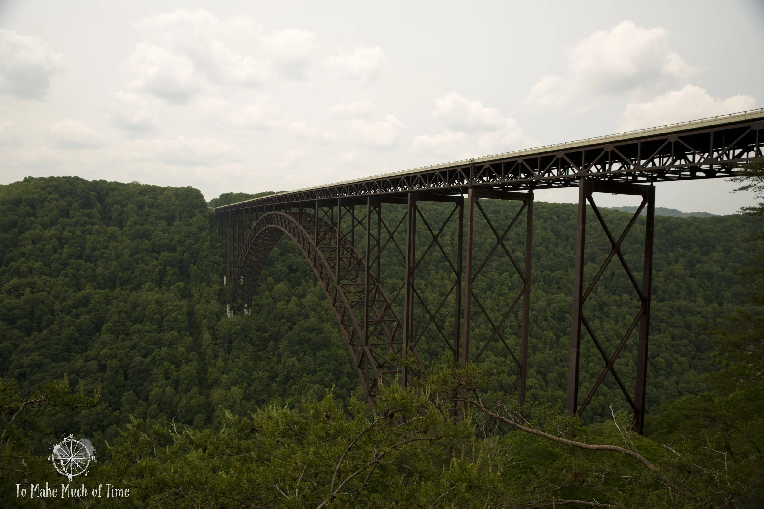
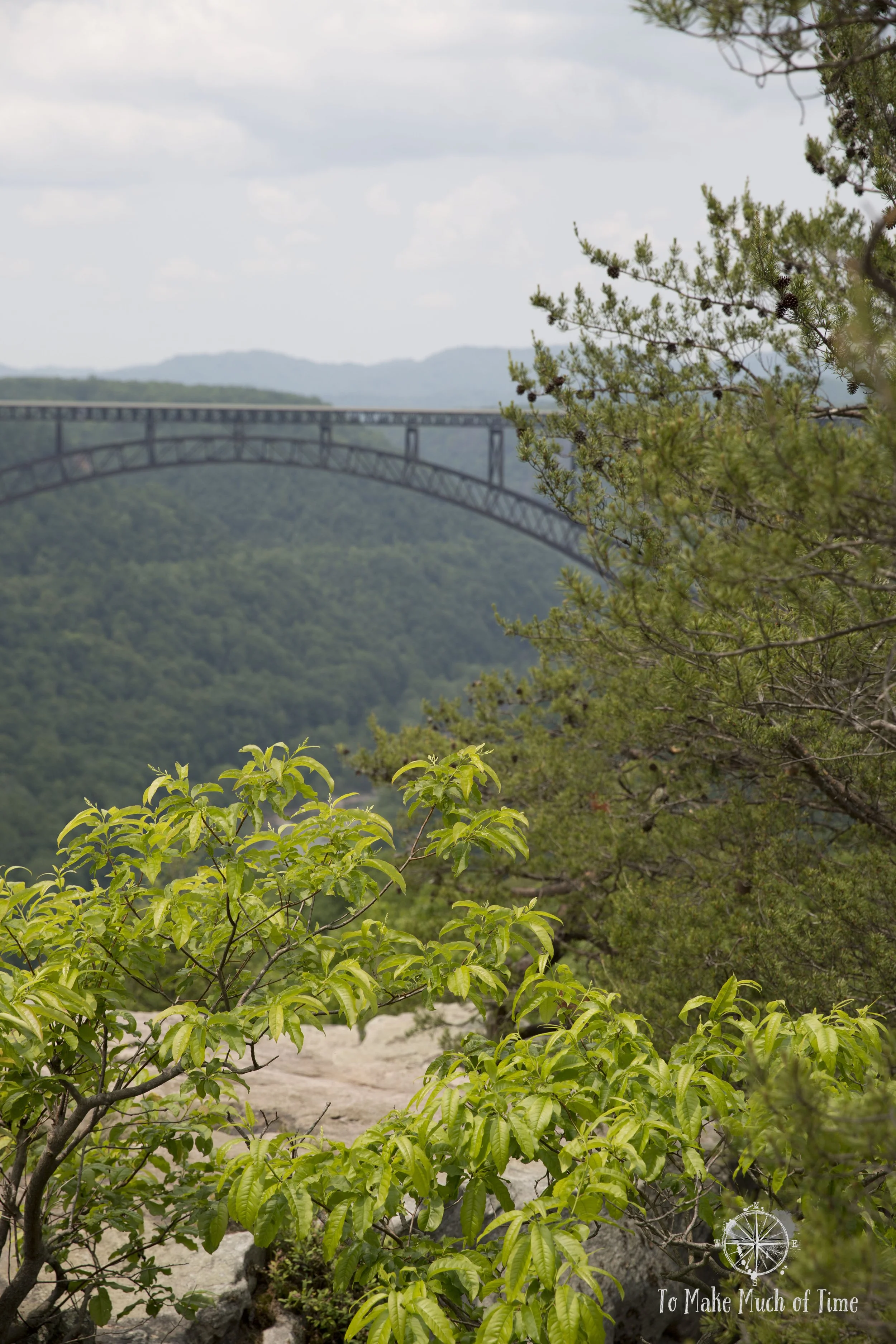
Day 2: We headed north and spent much of the day hiking some of the most popular trails along the New River Gorge itself, with its photographic bridge spanning over 3,000 feet in length, one of the world’s longest single-span steel arch bridges in the world. Because of its limited parking that fills early in the day, we embarked first on the Endless Wall Trail, 3 miles in length. From there, we drove to the New River Gorge Bridge Overlook at Canyon Rim Visitor’s Center. After 178 steps down, visitors get a close look at the bridge from below. From there, we hiked the other side of the canyon on Long Point Trail, 3.2 miles in length, before driving to Babcock State Park to see its photogenic grist mill, easily accessible and next to a parking area.
Planning our time in new river gorge national park
Our trip planning style involves creating some general plans and then going with the flow and seeing what else inspires us once we get somewhere. Without general plans, I’ve found we waste valuable travel time looking up things to do in the area. In the case of our couple of days in the New River Gorge National Park, we planned to explore both Grandview and Sandstone Falls, probably spread over the two days.
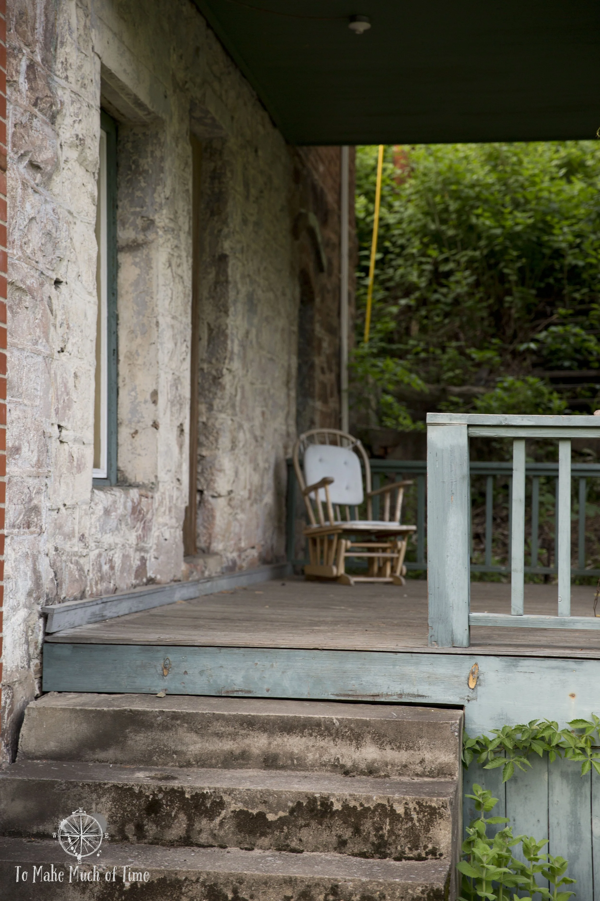
Upon arriving at Glen Jean, a small town about midway between Beckley and Fayetteville, our first rainy evening, we decided the weather wasn’t working with us to take a late-in-the-day hike so we spent the evening getting settled into the 1920s brick manor home set in the middle of a sweeping, verdant lawn.

Part of that included playing two rounds of ping pong on the table housed in the sunroom. Lindsey 2, Dustin 0. It’s anyone’s guess whether I’d include those stats here should the results have been reversed!
We also pulled up the site for Grandview and discovered that due to road work both Grandview and Sandstone Falls would only be open the next day but then closed the remainder of our trip. Okay then. So we pivoted and created what ended up being a really great itinerary for our first day.
Day 1 in New River Gorge: Grandview Visitor’s Center, Castle Rock Trail, Grandview Rim Trail, Sandstone Falls, and the ghost town of Thurmond
Grandview at New River Gorge National Park

From about 1940-1990, Grandview was a popular state park in West Virginia. In 1990, it became part of an enlarged New River Gorge Park and is often described today as one of the best places to visit in the large region.
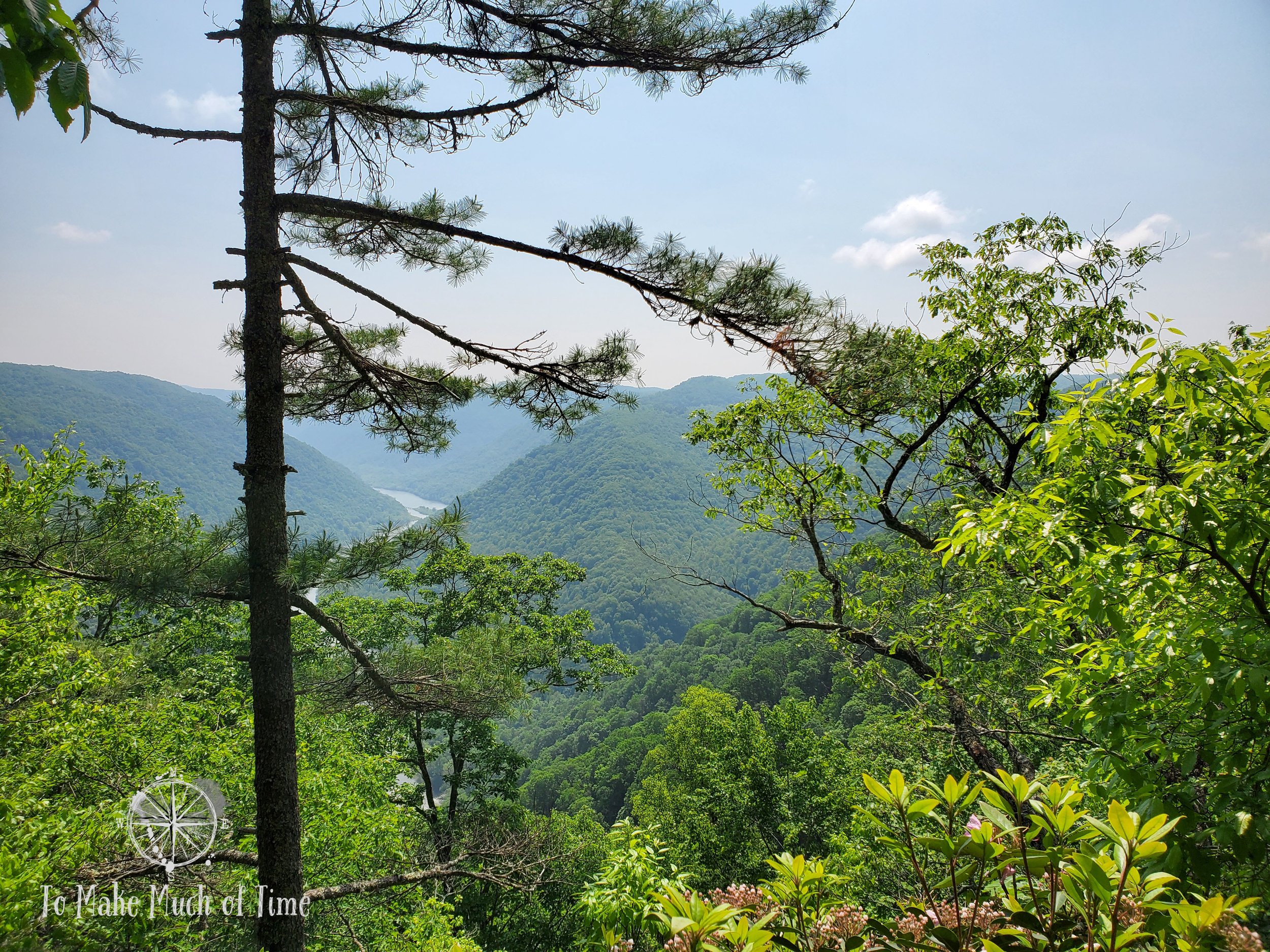
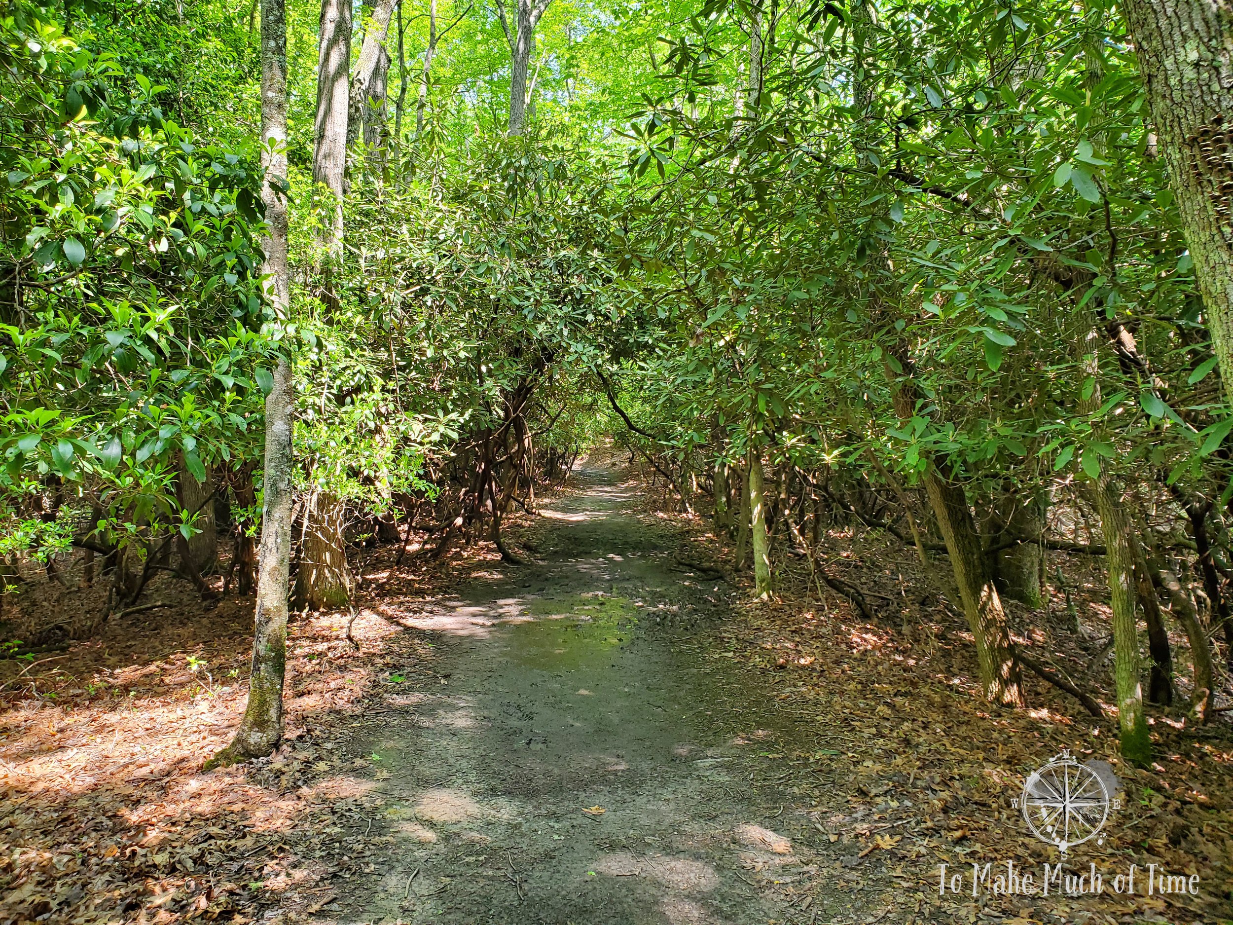
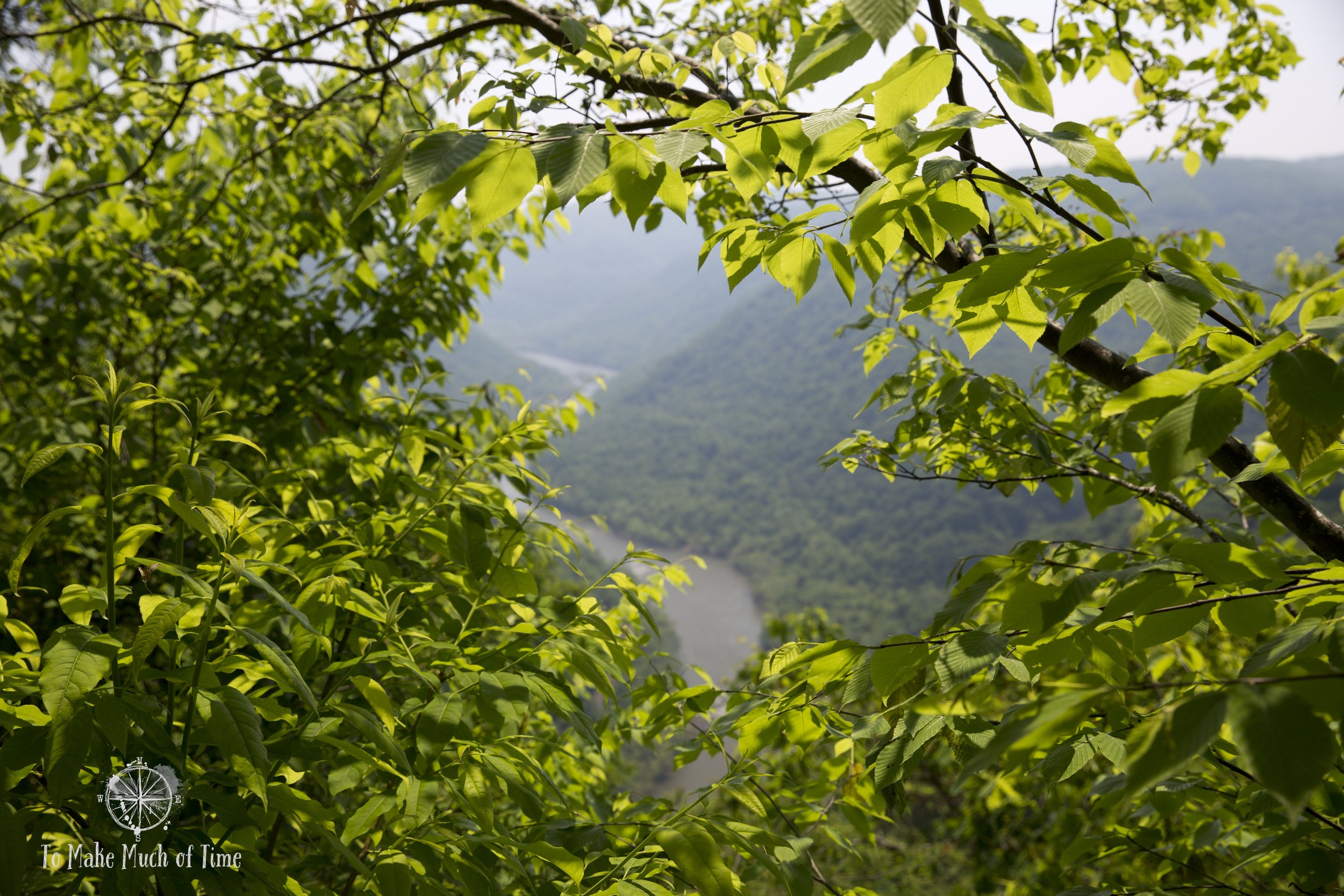
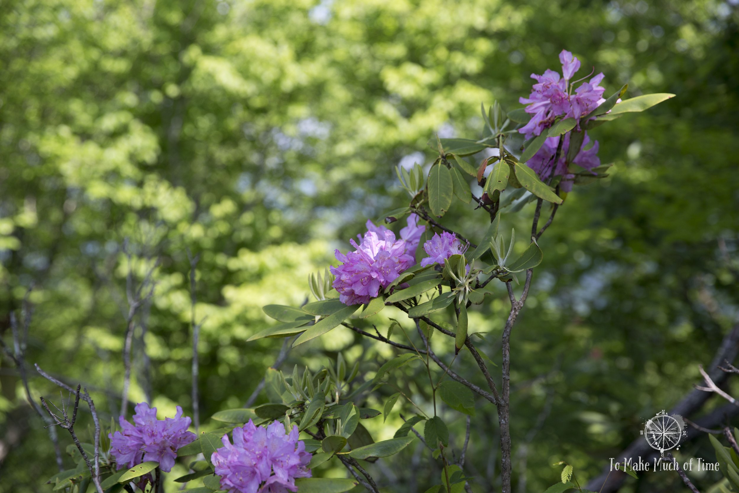
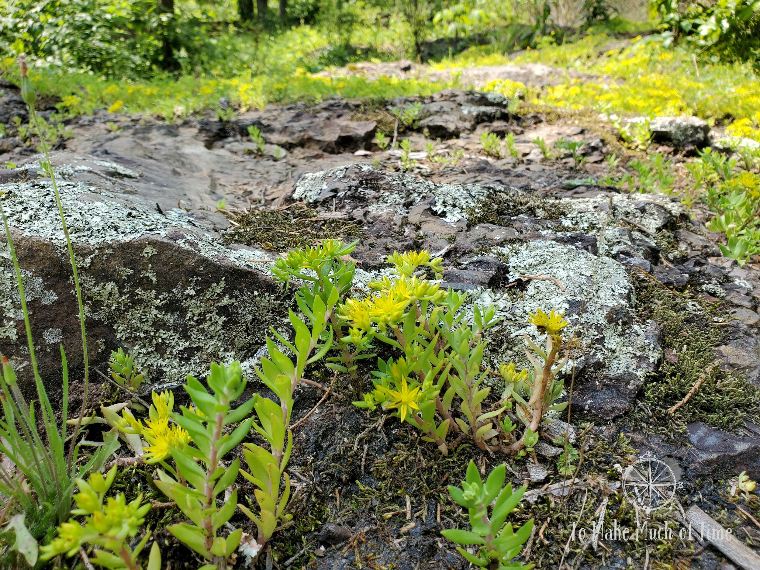
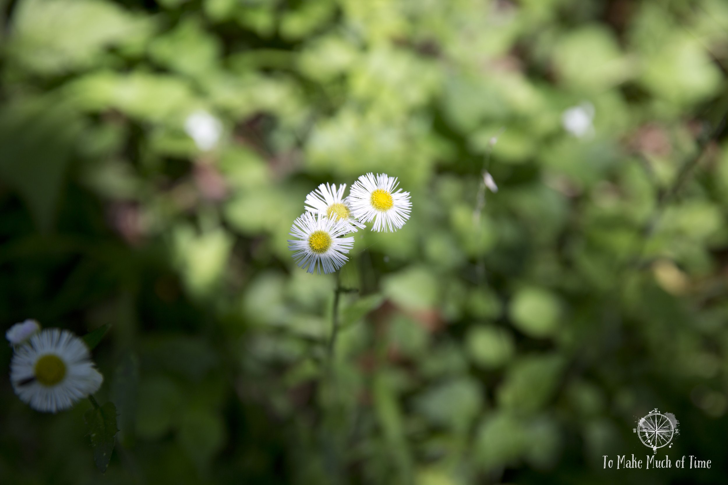
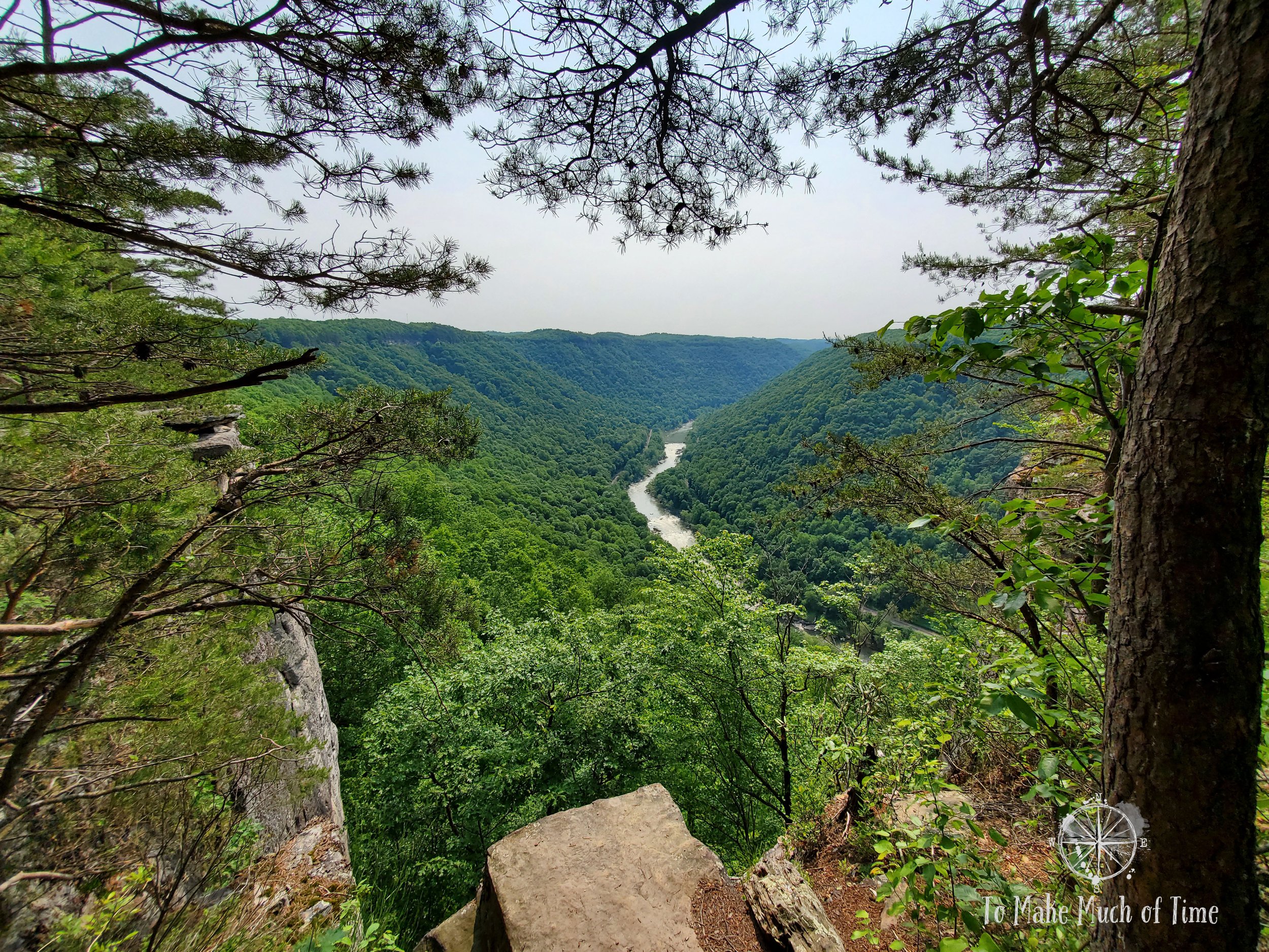
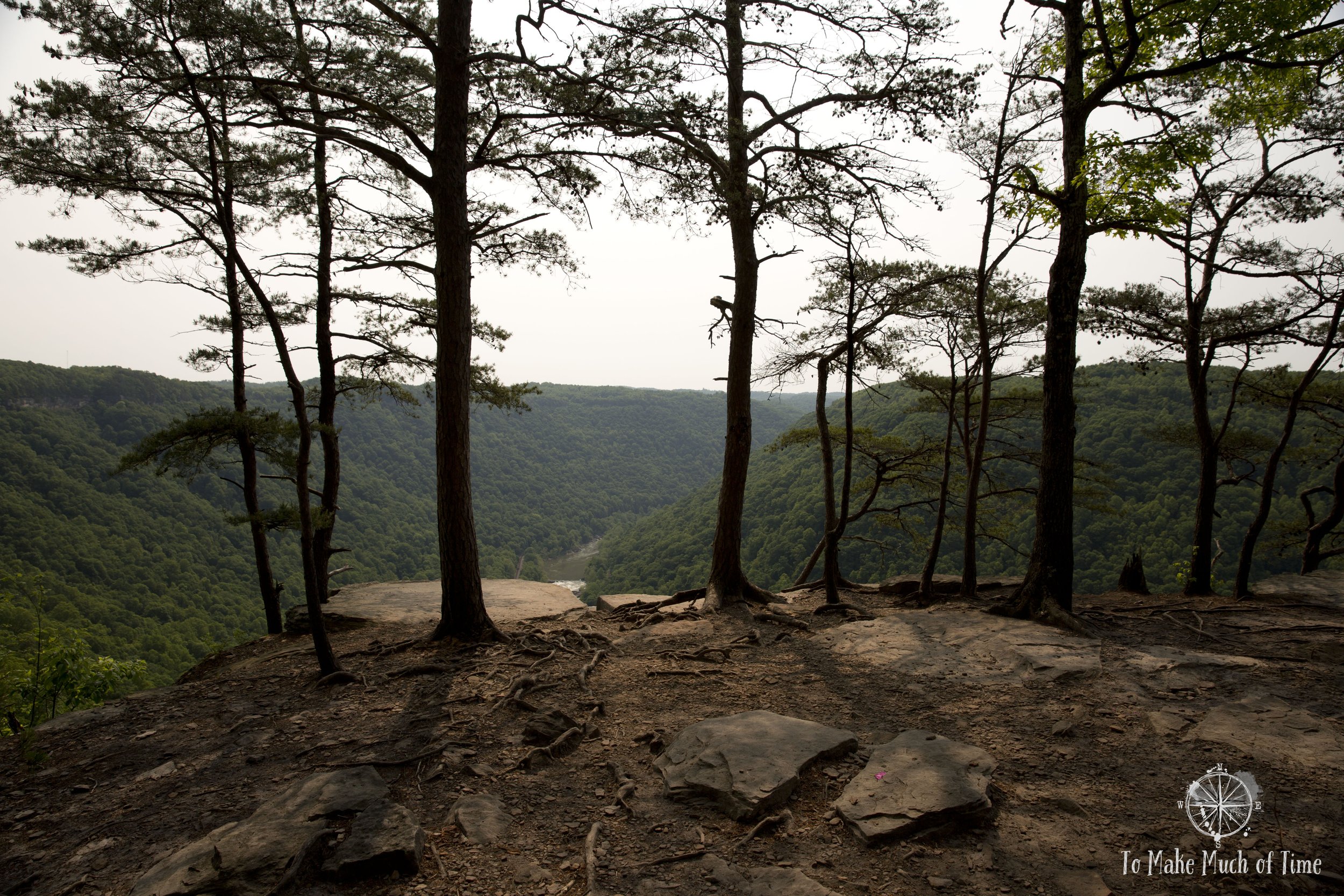
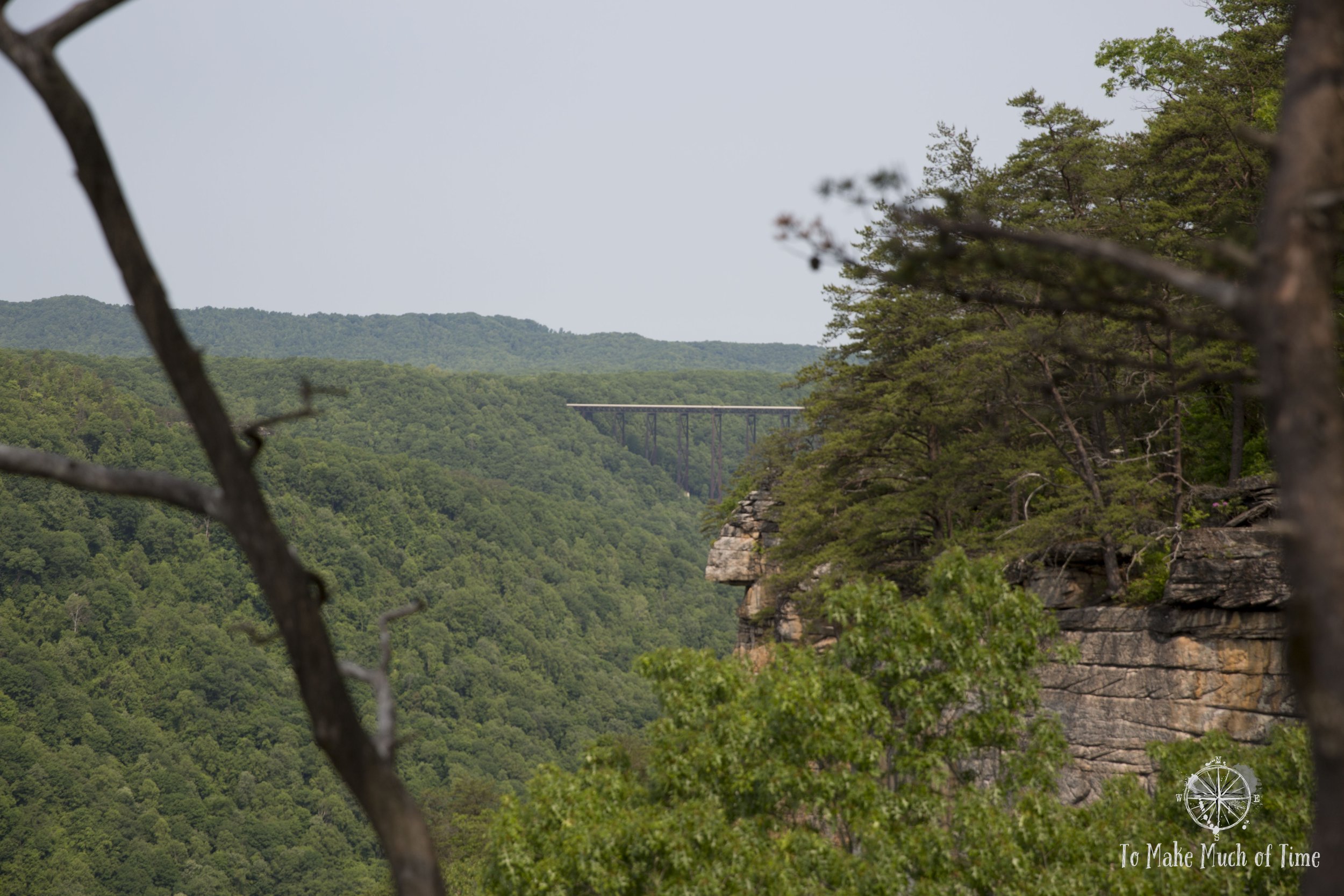
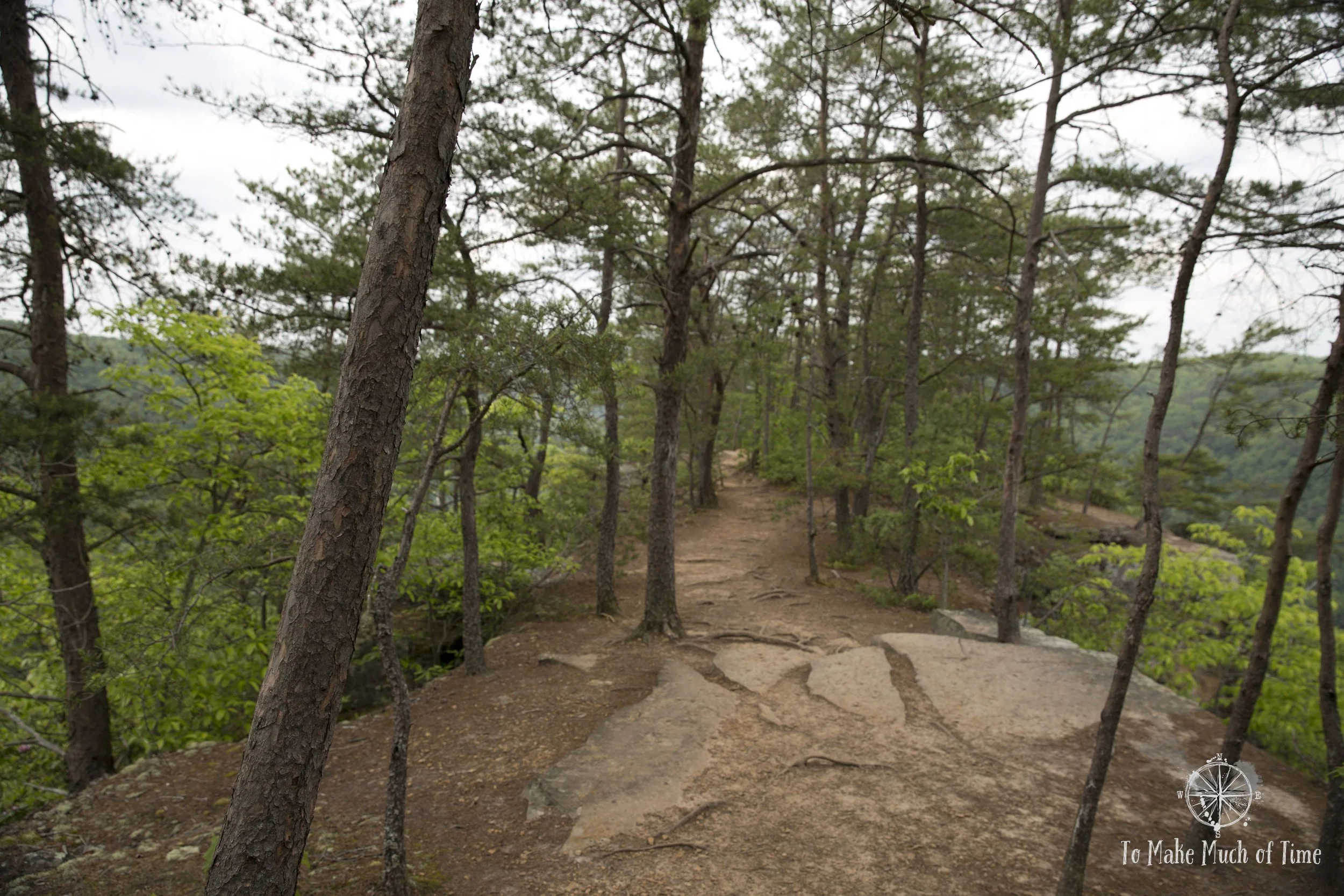
Grandview offers five hikes for a total of 6 miles of trails, nestled atop the mountain and overlooking the gorge and rapids 1400 feet below. The longest and most popular trail at Grandview is Grandview Rim Trail, an out-and-back trail that is 1.6 miles each way (3.2 miles roundtrip) an ends at the Turkey Spur Overlook, home to both turkeys and turkey vultures. If Turkey Spur Overlook, which consists of three viewing platforms up 150 stairs, is your destination, you can also drive to the spot. But if you want to get a feel for mud (and there was some mud!) under your feet, the Grandview Rim Trail offers occasional vistas through the trees and is a walkable alternative. While the path was rocky at times, it seemed accurately described as a moderate trail. The region is known for Catawba Rhododendrons, bursts of magenta that are a celebration of spring each May. We lucked upon this period for our visit and while the rhododendrons further down the mountain in more shade weren’t blooming, plenty along the rim and in the park were.
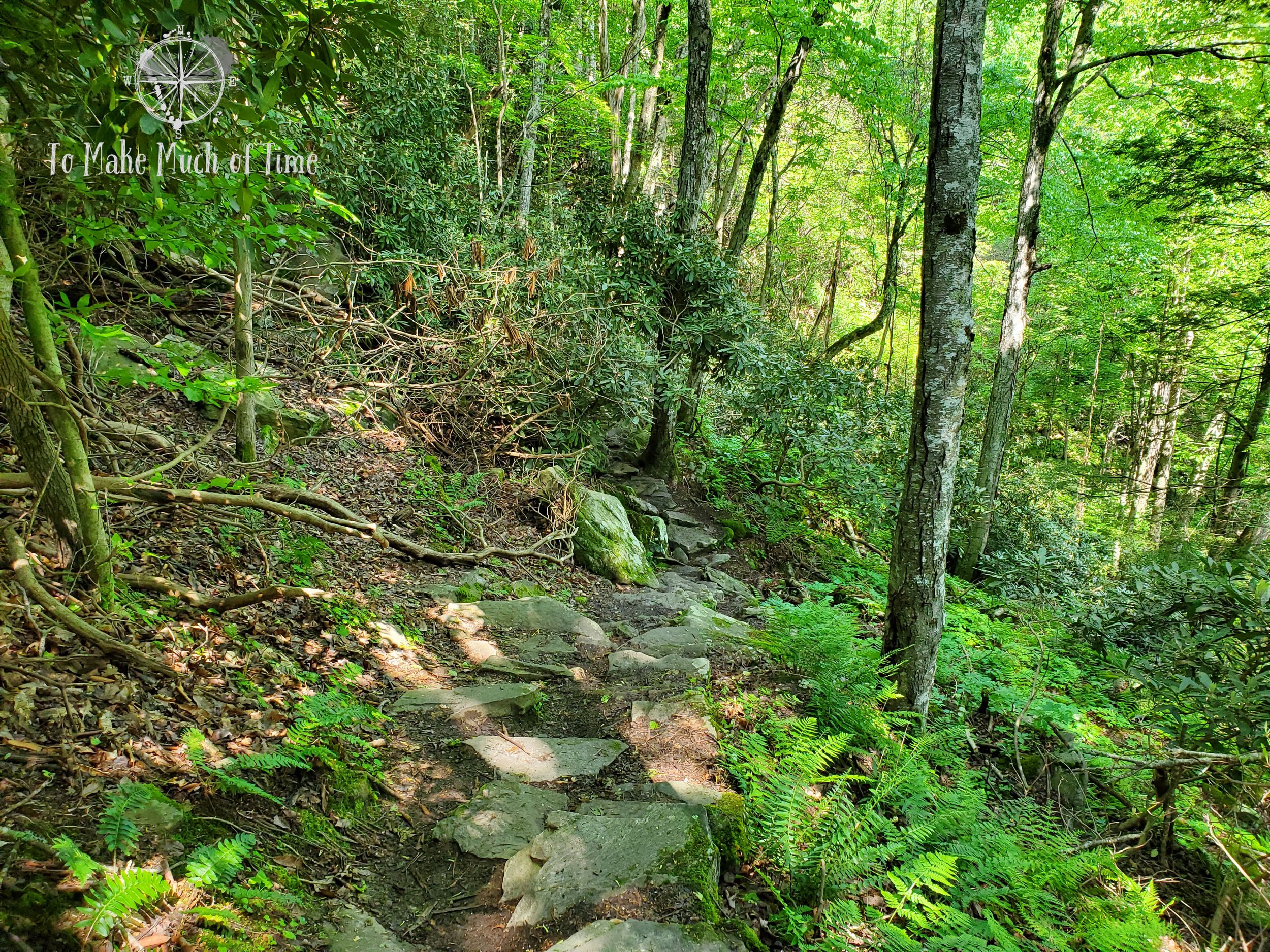
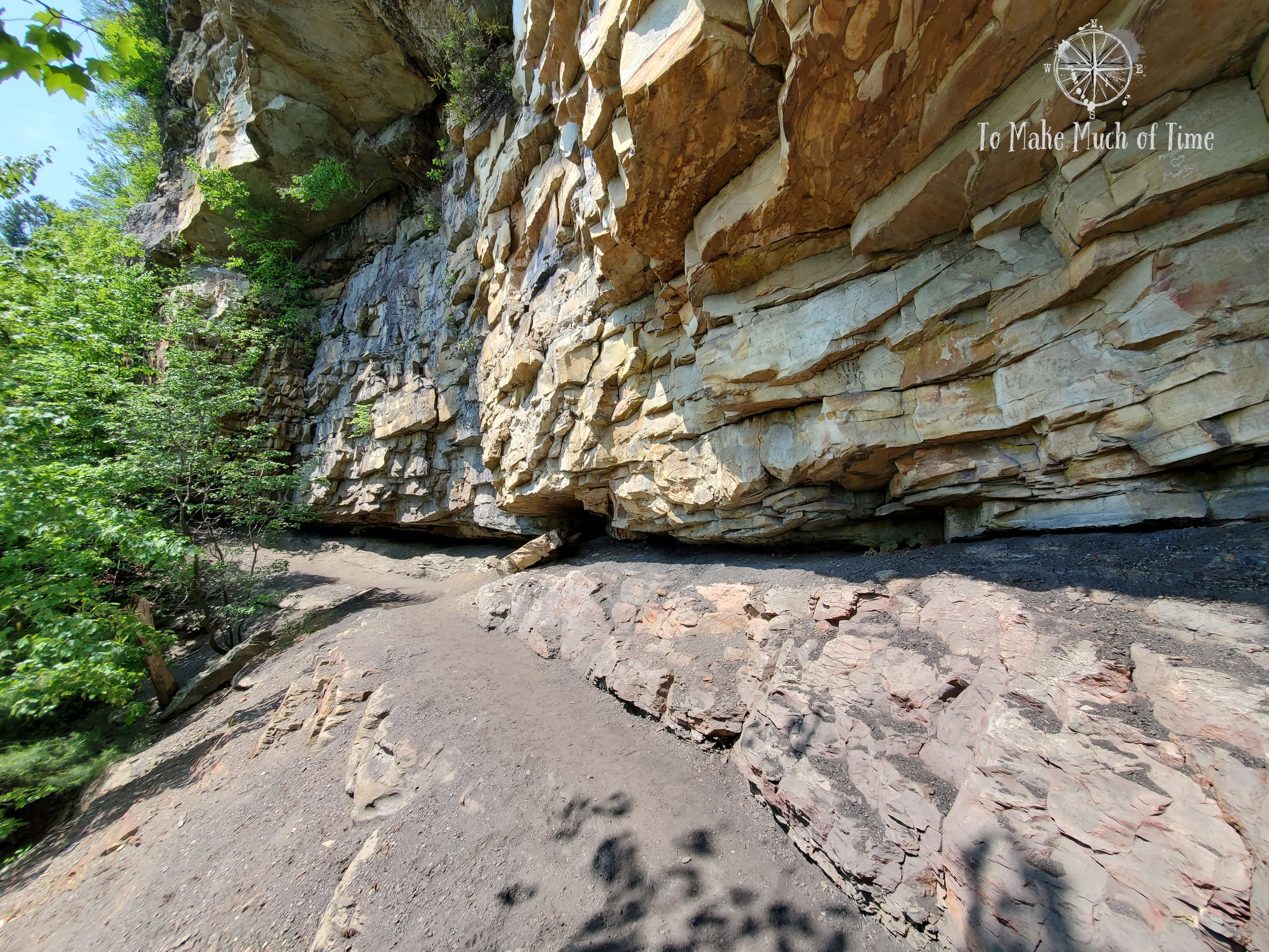
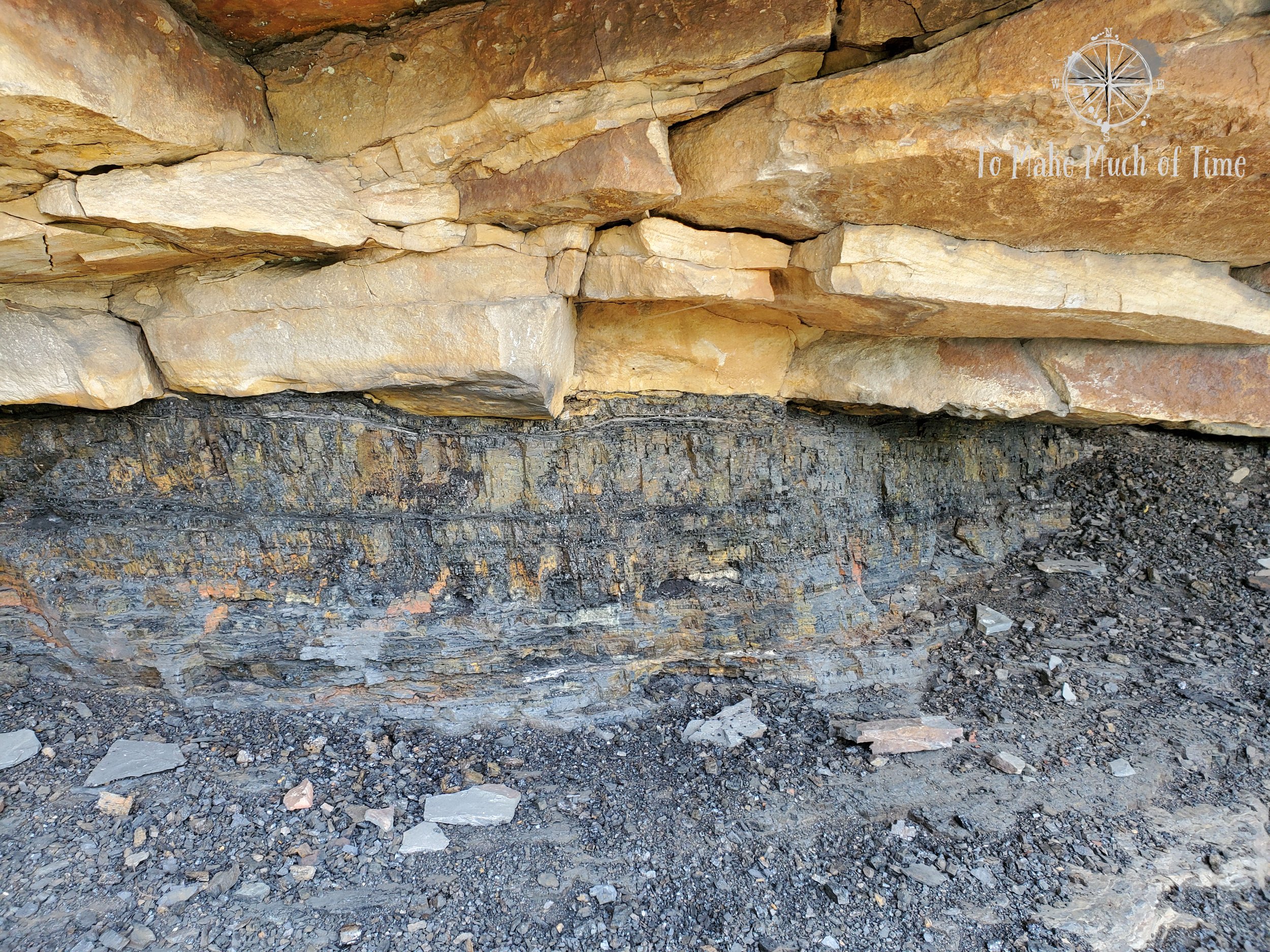
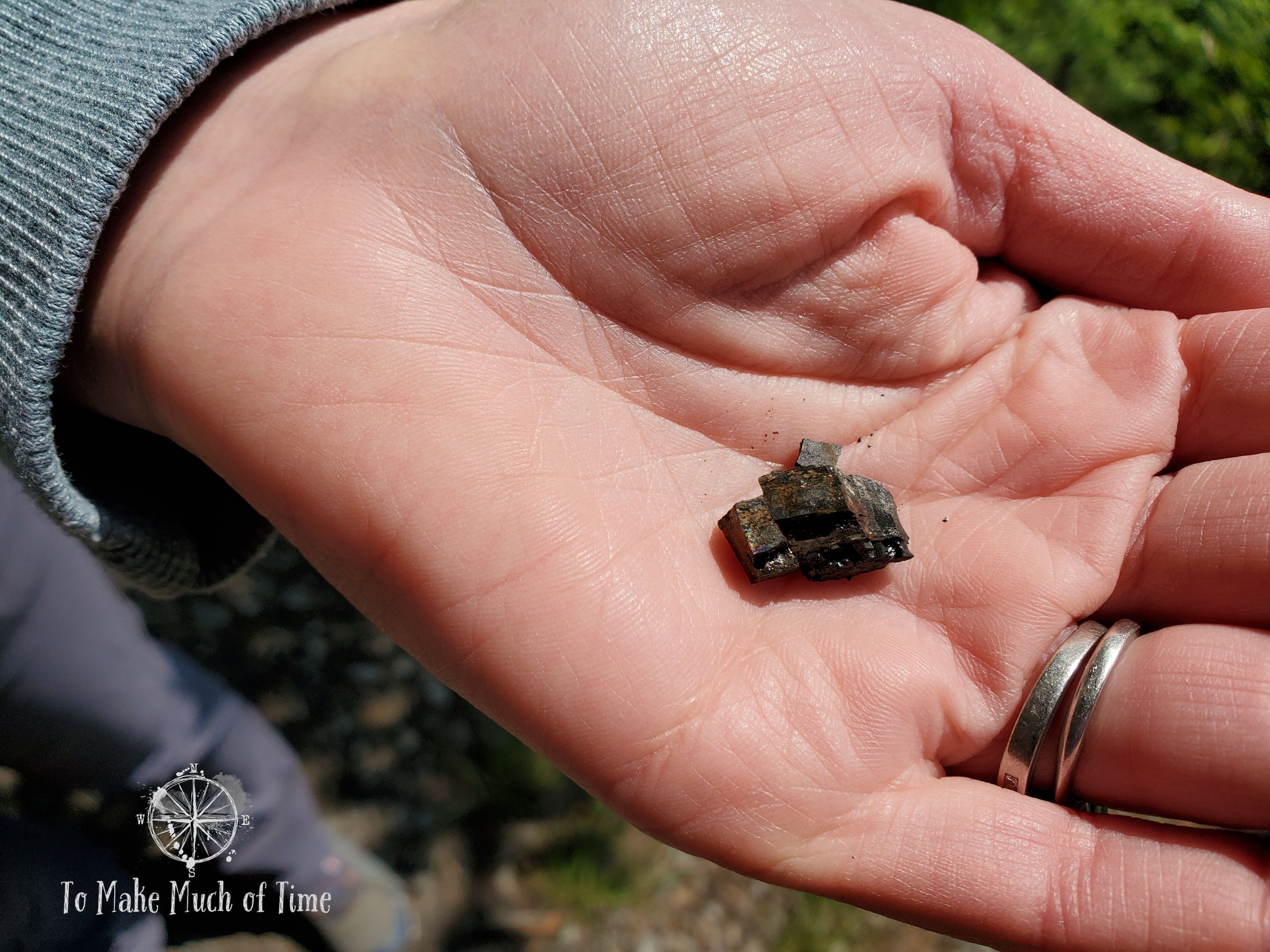
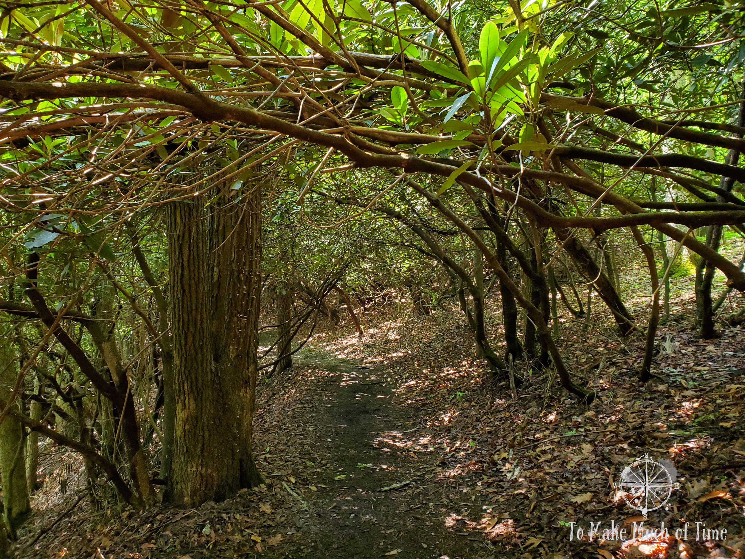
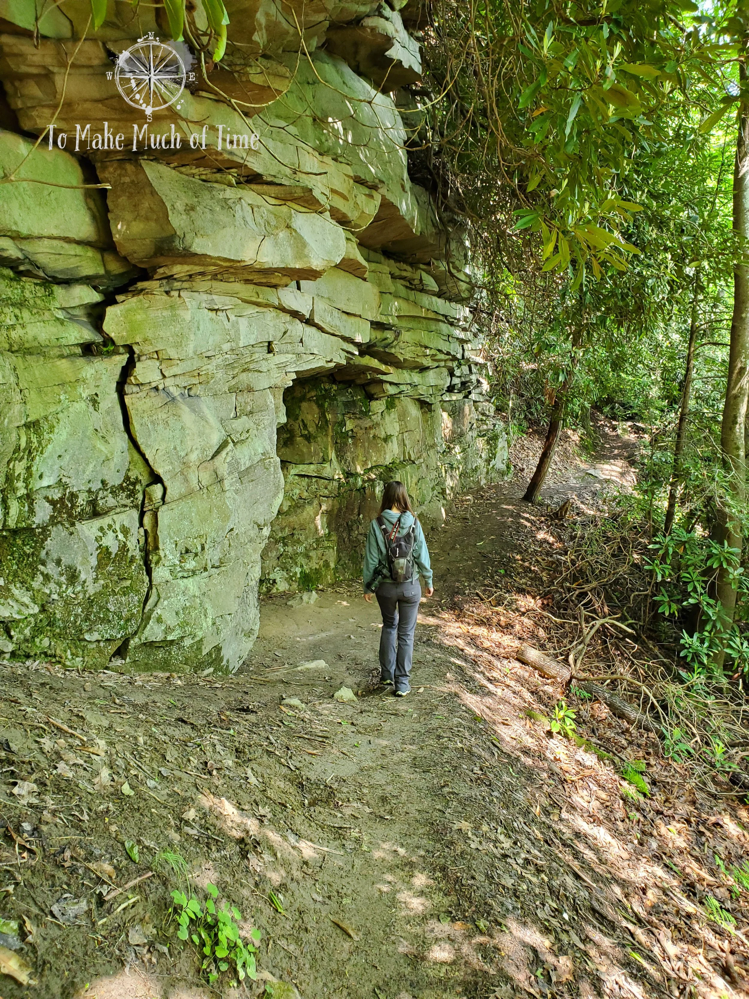
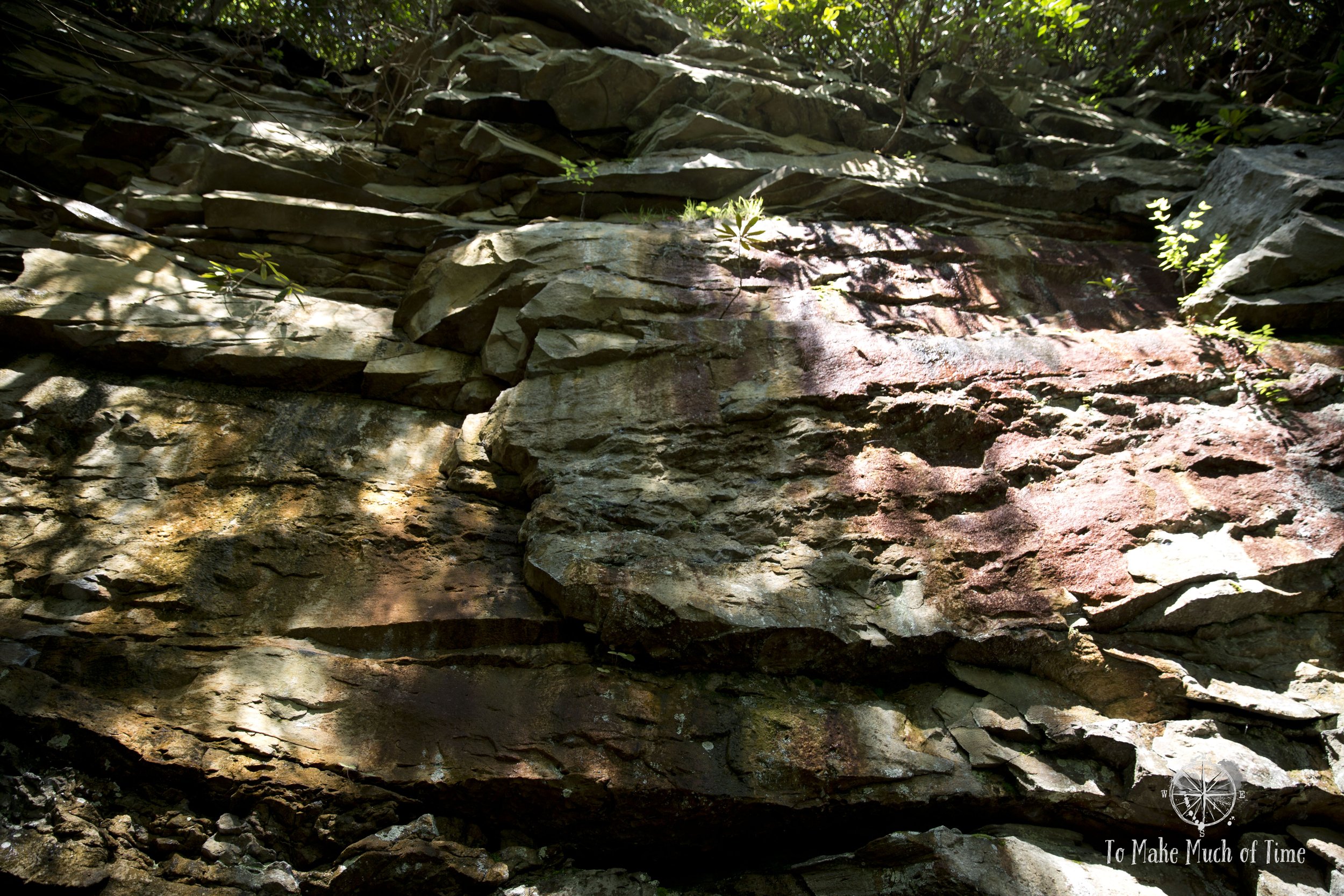
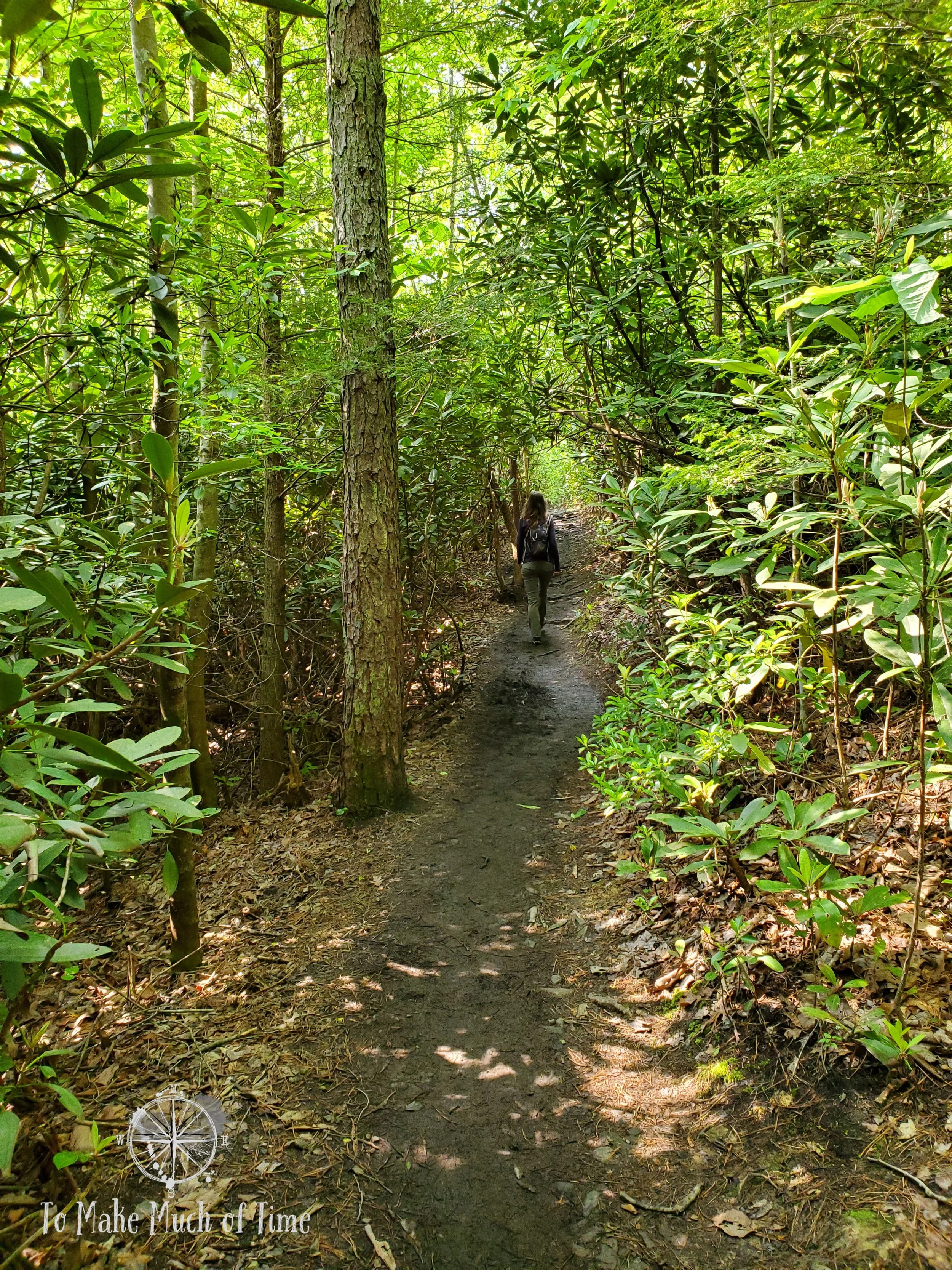
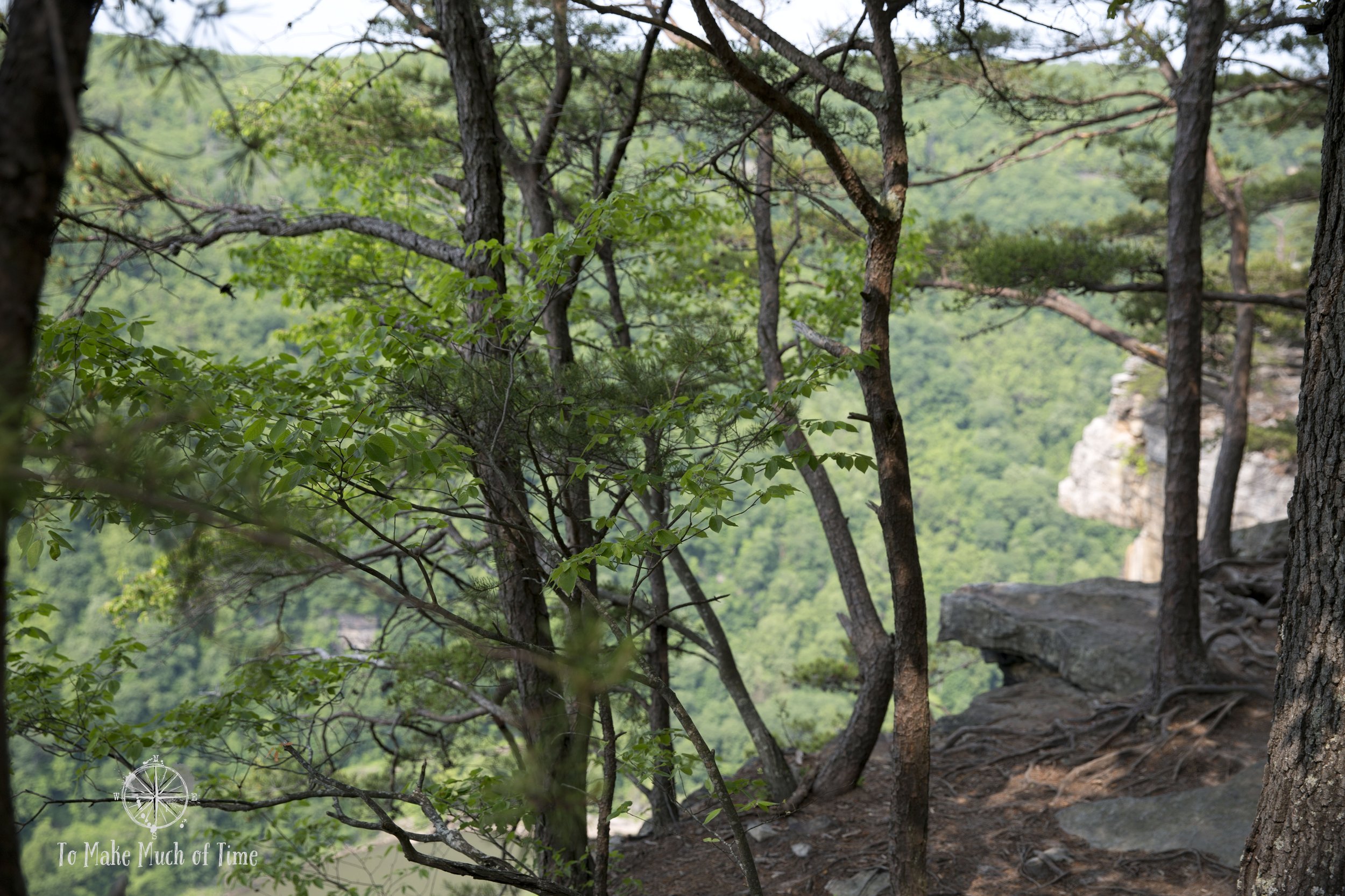
The other path we selected was the Castle Rock Trail, a 0.6 mile path along the Cliffside and with mesmerizing sandstone rock outcrops towering beside it. Dustin even spotted a visible coal seam in the rock and found a few small pieces.
Out-and-back trails are not my favorite so just like during our recent trip to Breaks Interstate Park (read about that here), we decided to make our own semi-loop trail. We started by visiting the Grandview Overlook, which is the most some visitors see of the area, near the parking lot, took the Castle Rock Trail to where it met up with Grandview Rim Trail, climbed to the heights of Turkey Spur Overlook and returned to the parking lot via the Grandview Rim Trail.
Castle Rock Trail
Castle Rock Trail’s 0.6 miles take deceptively long as large sections of the trail are over rocks and boulders. While it rained the evening before, the rocks weren’t slippery but the exposed tree roots were and required delicate foot placement.
There were lengthy sections that were not as rocky and at places the trail was fairly narrow next to a drop-off – though nothing that felt particularly precarious to us.
We passed a handful of other hikers – none with children or dogs – and all clearly in good shape. None of us had hiking sticks but this would certainly be a good trail for their usage.
Most of this trail was in a rhododendron-filled woods and the sights to see were outcrops of fractured sandstone with the occasional glimpse of the gorge below. I suspect in the more barren winter months that hikers get more of those views. But it did not feel like we were missing views – we just had different ones of gorgeous, multi-colored rocks. In one place in particular, a large crack in an immense rock-face ran down to the spot where it overhung the trail. It is clear that it’s only a matter of time before that next section crumbles away. We did not pause to take photos under that one!


Grandview Rim Trail
We could tell we were nearing Grandview Rim Trail when Castle Rock Trail presented us with a series of rocky stairs and a climb back up to the top of the mountain. It was like night-and-day when we met up with the Grandview Rim Trail and found ourselves on a flat, nearly smooth trail.
Grandview Rim Trail runs alongside the road that also terminates in Turkey Spur Overlook. For sections of the hike, the road is literally right next to the trail. What the hikers gain that the drivers miss, though, are the undulating, meandering parts of the path that occasionally veer off to additional overlooks of the amazing views below. There were definitely more people on this trail, but it was far from crowded. This trail is also popular with dogs, and we saw a range from small durable pups who sank half of their bodies into the muddy spots and large, fluffy dogs that definitely were going to need a post-hike bath!


Having rained the day before, this trail was fairly muddy in small sections with limited options to skirt the worst of it. One other hiker ahead of us who didn’t have on hiking boots, slipped and fell, luckily a gentle (but dirty) landing.
At the end of the Grandview Rim Trail is a small parking lot, views off both sides, and a trail that heads out to the Turkey Spur Overlook.
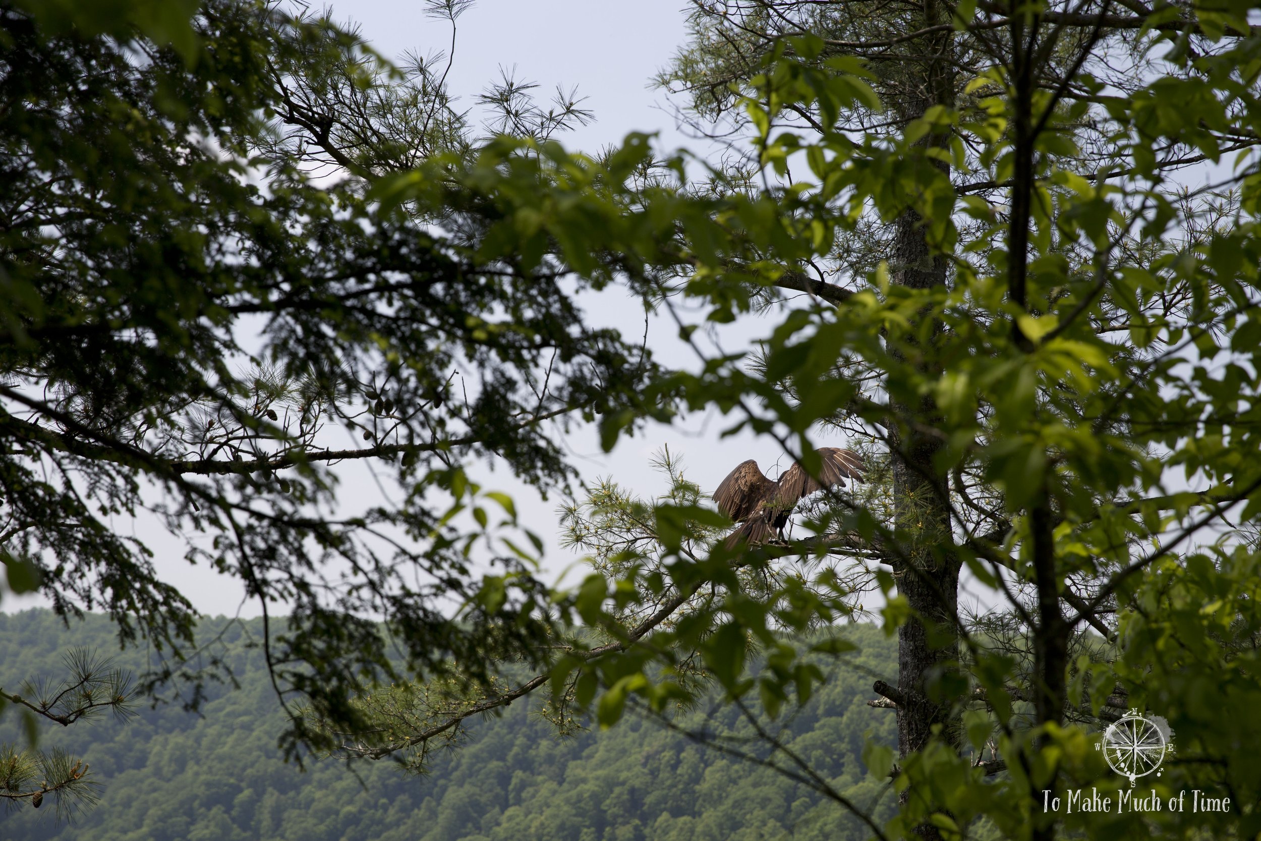
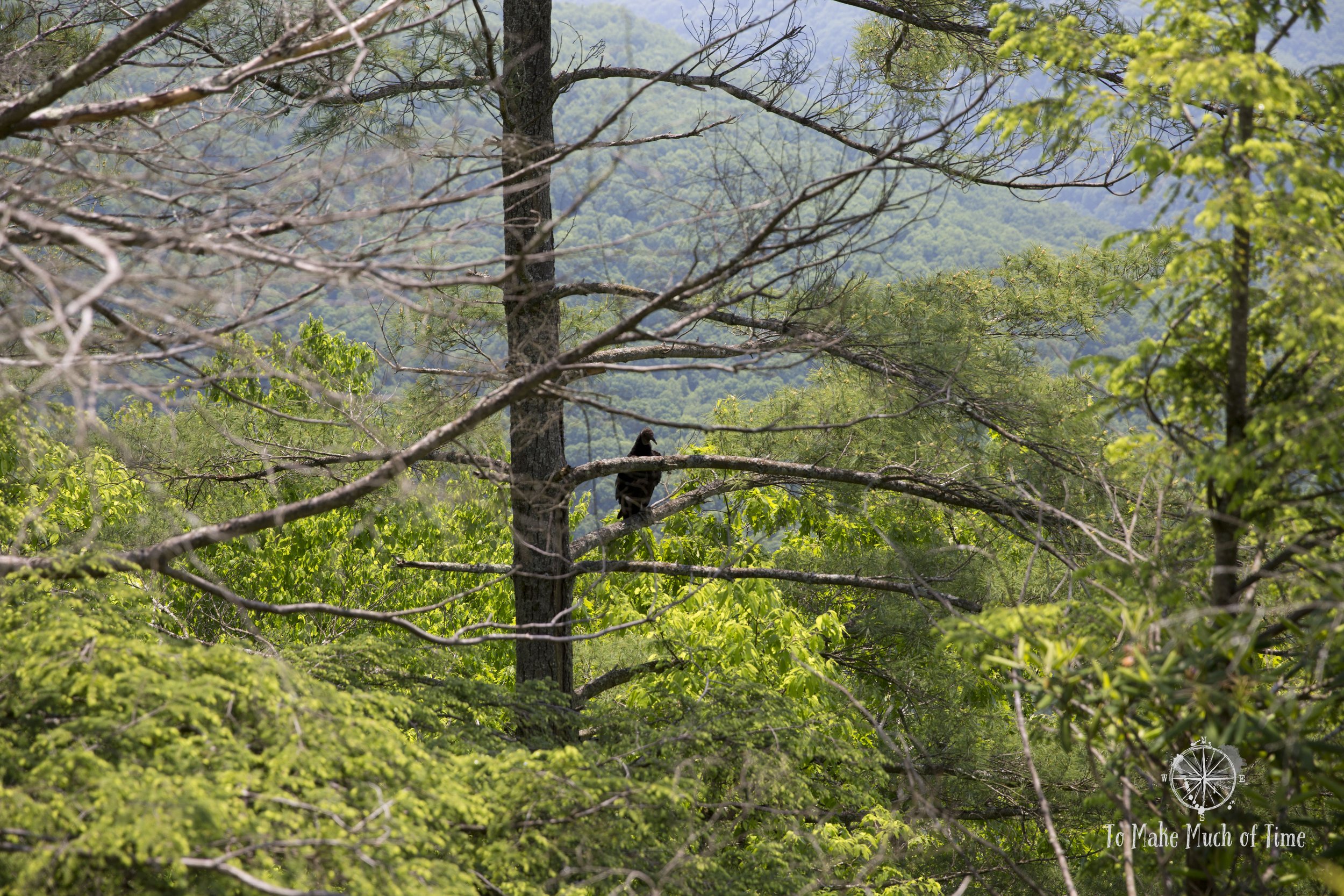
Signs suggested that both turkeys and turkey vultures reside in the area and we saw at least two turkey vultures flying overhead and resting in trees, a sight that will forever remind me of the scene from the Disney version of Alice in Wonderland.
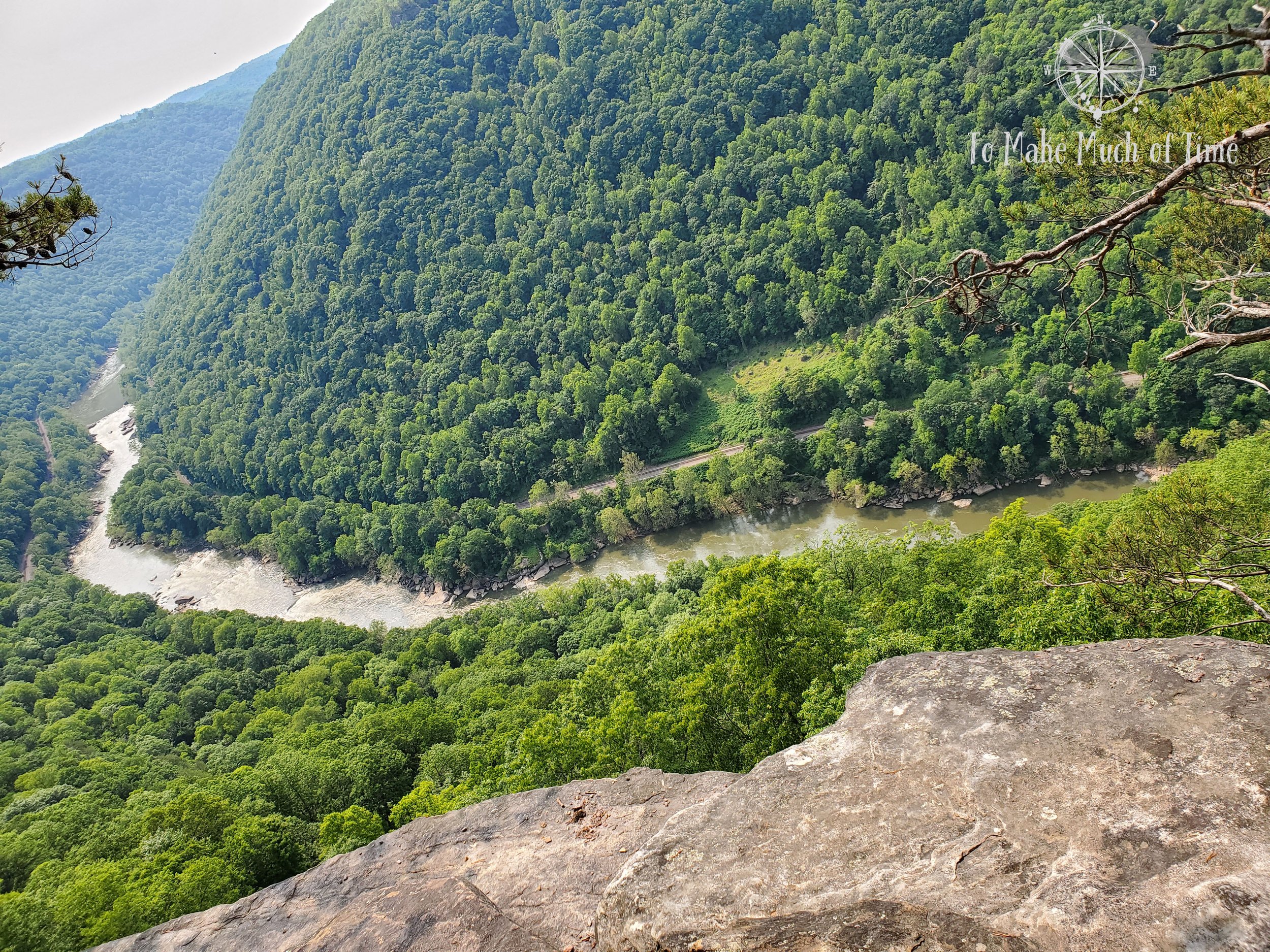
There are 150 steps up (according to the signs – we didn’t count!) mostly wooden stairs, and then at the top are three distinct overlook areas that are well worth the climb.
By the time we wrapped up our hike, including the overlooks, we had gone a total distance of 4.2 miles over the course of 2 hours 20 minutes. We had brought a picnic lunch so got our food, picked out a table as far from the noisy playground as possible, and refueled. In the area near the parking lot, there are bathrooms, a playground, a volleyball court, and a visitor’s center, which was closed during our visit. There appeared to be two separate birthday parties at the spot while we were there (hence the extra noisy playground).
Sandstone in New River Gorge National Park
The Sandstone area of the national park is known for a scenic drive along the New River as well as Sandstone Falls, which occur at a spot where the river is 1500 feet across. While the falls are not large drops, they are sweepingly beautiful!
Scenic Drive through Sandstone
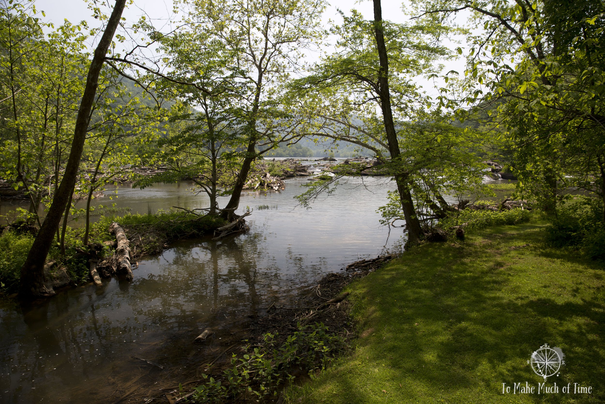
From I-64, we first came upon the Sandstone Overlook, from which we could view the falls and nearby island that were our eventual destination. Further along we came to the Brooks Scenic Overlook that looks down upon Brooks Island and the surrounding New River. The drive was green and pretty – perfectly winding its way along the river without being full of sharp turns. At about the halfway mark, Route 20 runs through the small, historic town of Hinton, population 2200. Hinton, like many older towns, had areas that looked a tad derelict along with a cute downtown area. Just past Hinton, we crossed the New River via bridge and took Route 23 north along the other bank until we reached Sandstone Falls.

Driving south towards Hinton, we stopped at an overlook to view part of the falls from afar.

A view from the Brooks Scenic Overlook of the island below.
A note: on this side of the river, the road was quite narrow at times and required drivers to edge to the sides when passing.
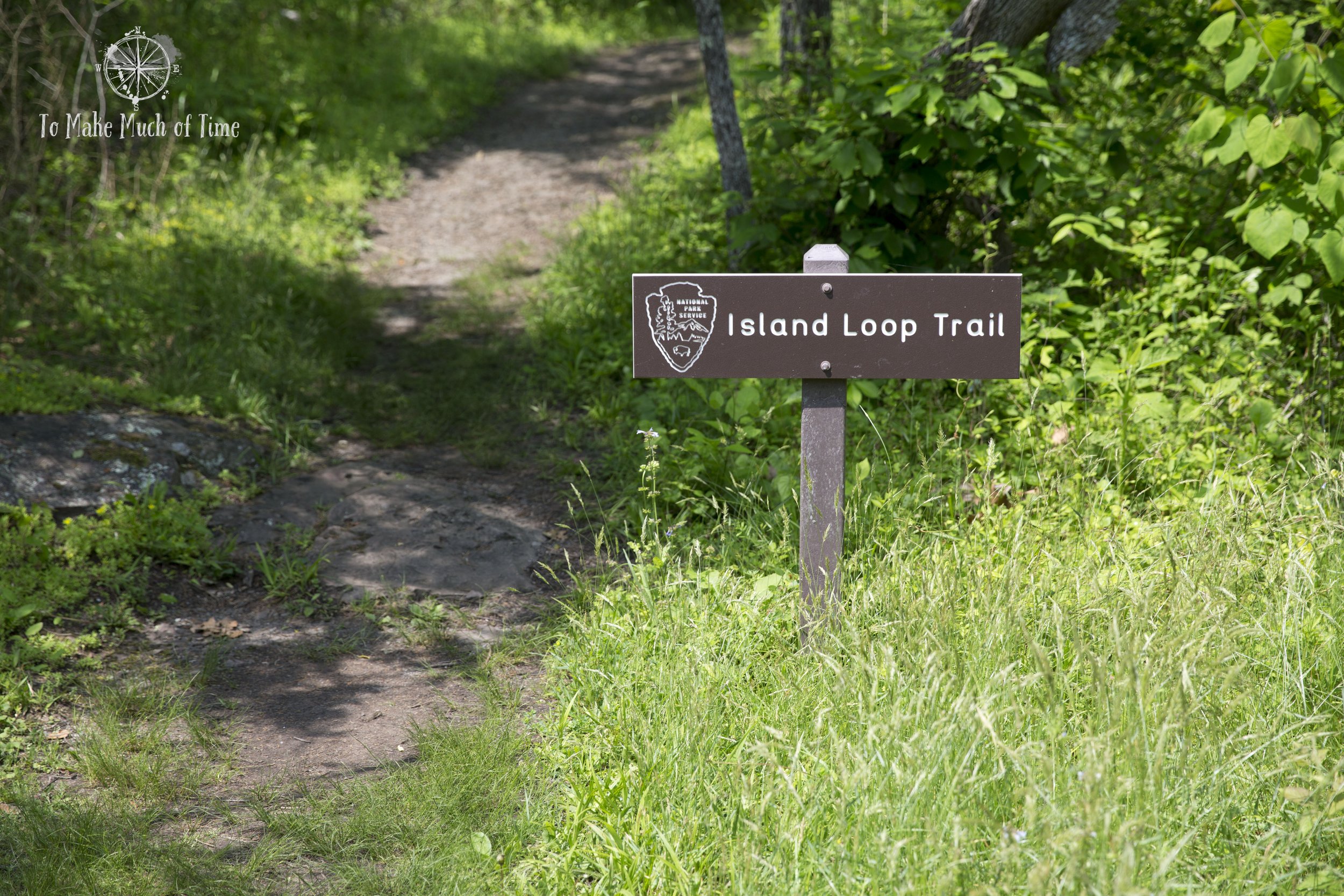
Sandstone Falls
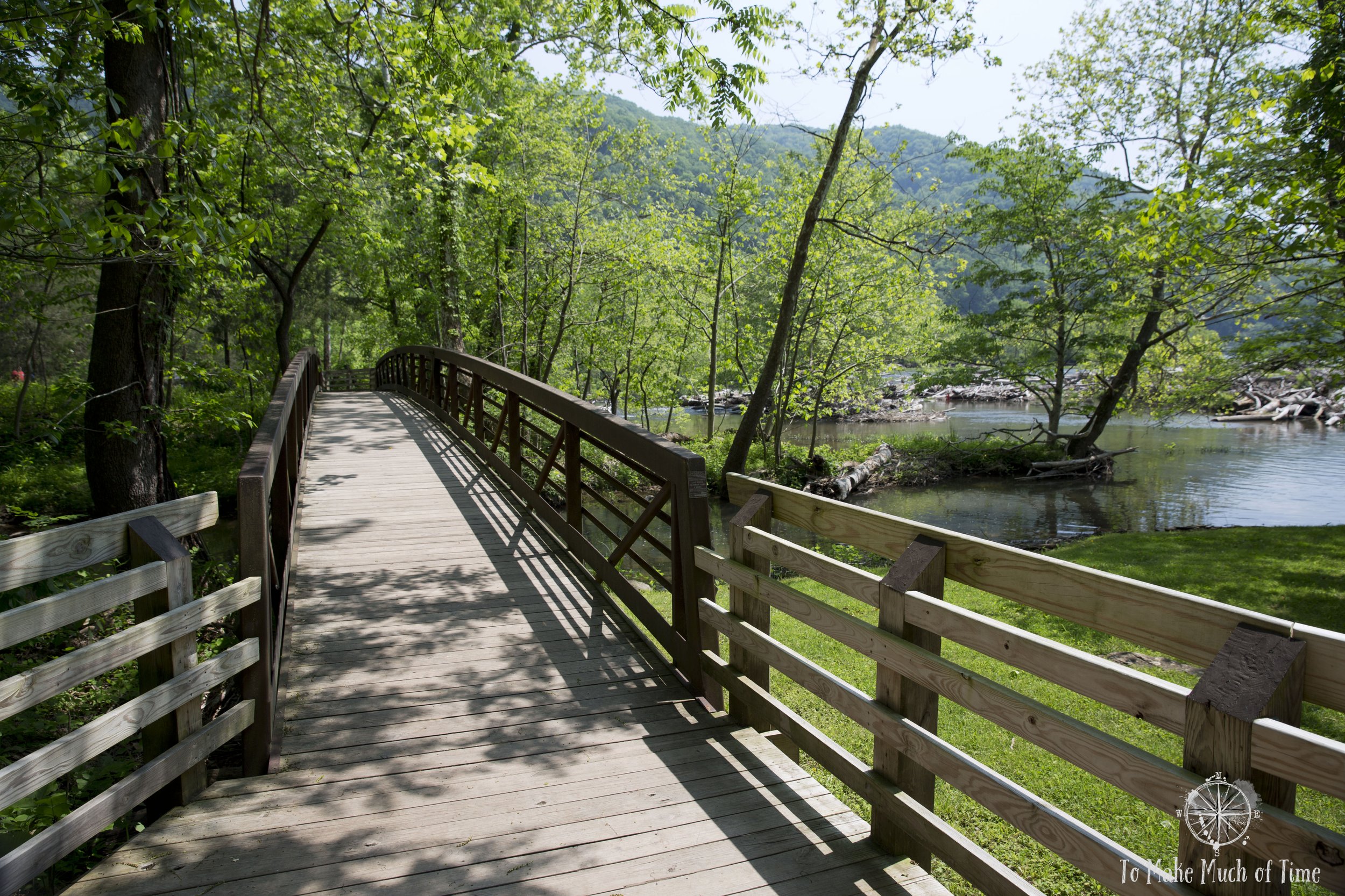
The parking lot at Sandstone Falls was near packed, something we were not expecting based on the number of people we had seen so far. That said, we soon saw a lot of people fishing near the falls so it is clearly a popular recreational area for various activities.
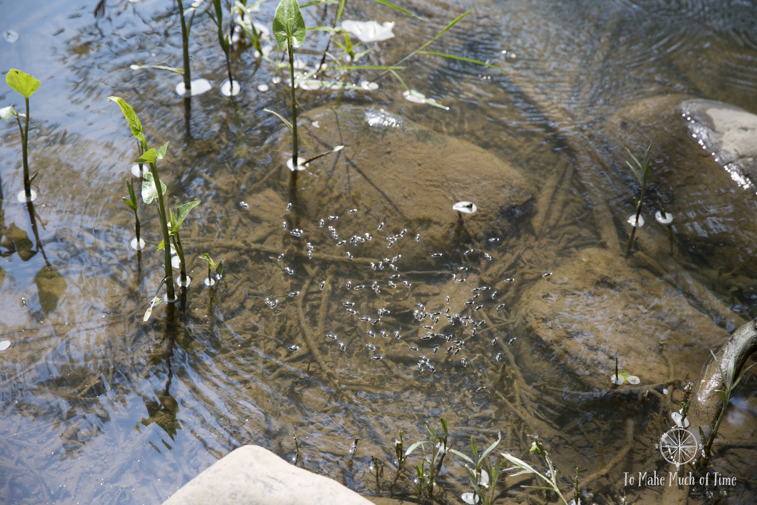
There are two trails at Sandstone Falls. From the parking lot, the only option is the Boardwalk trail, which is conveniently accessible for all visitors. We also took the 0.5 mile spur on the Island Loop Trail. The ecology of this area is unique. It is one of five spots in the state home to the Appalachian riverside flat rock plant community. We also couldn’t help but notice how many birds were actively singing in the middle of the afternoon. In a short span, we heard the yellow-throated warbler, Red-eyed vireo, Woodthrush, Blue-headed vireo, American redstart, Warbling rireo, Song sparrow, and American robin (thanks to our bird ID app that helped us name that bird!).
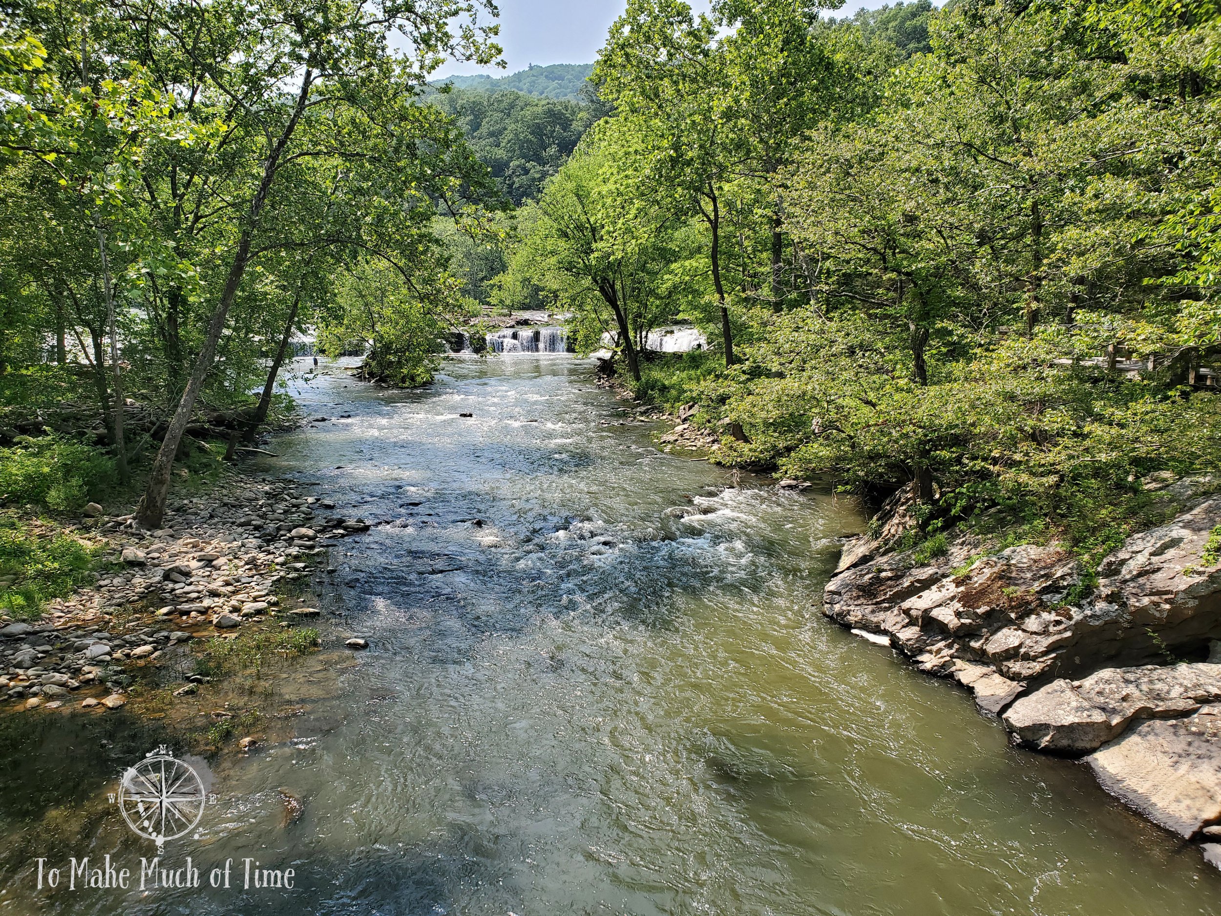
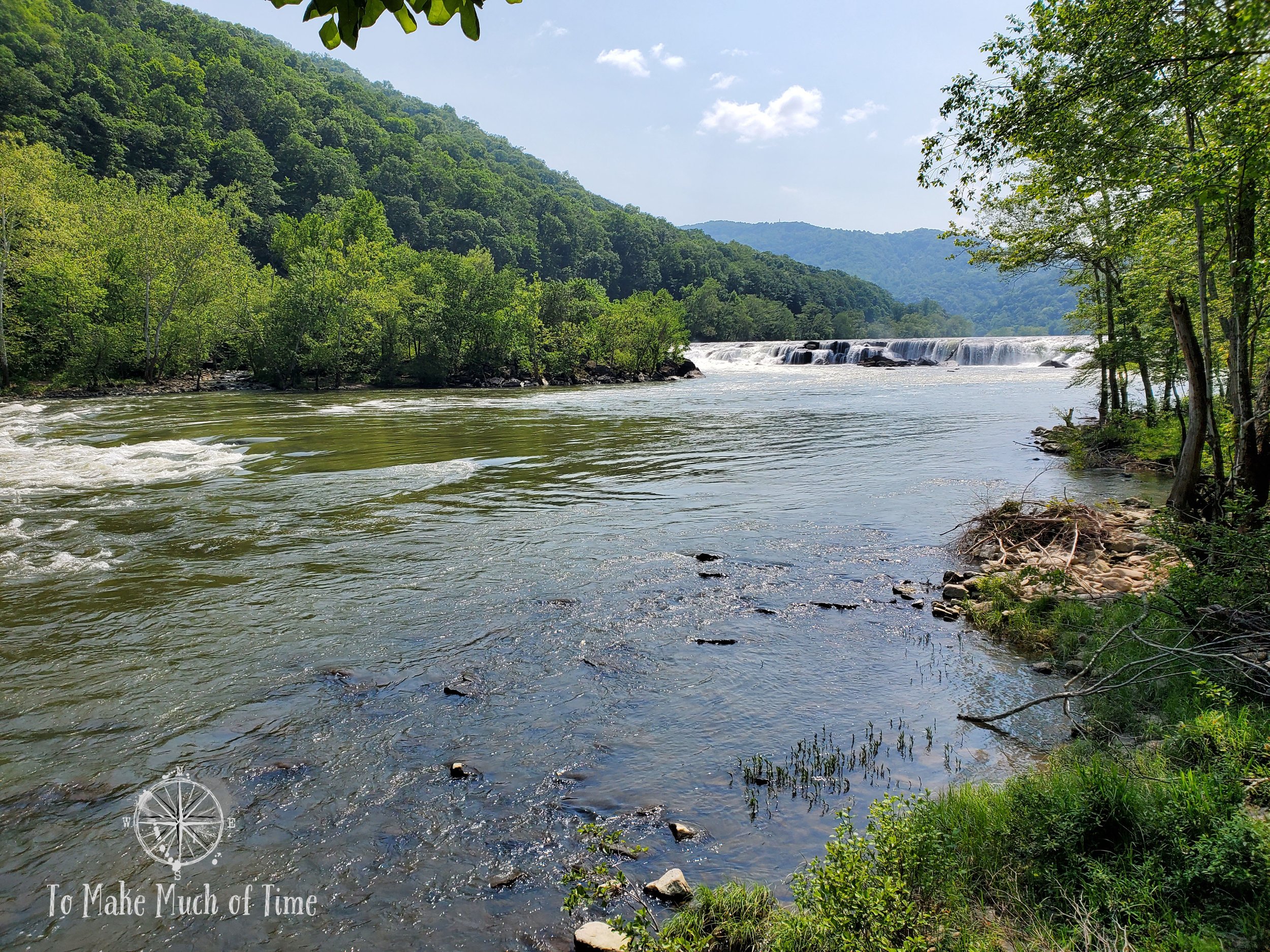
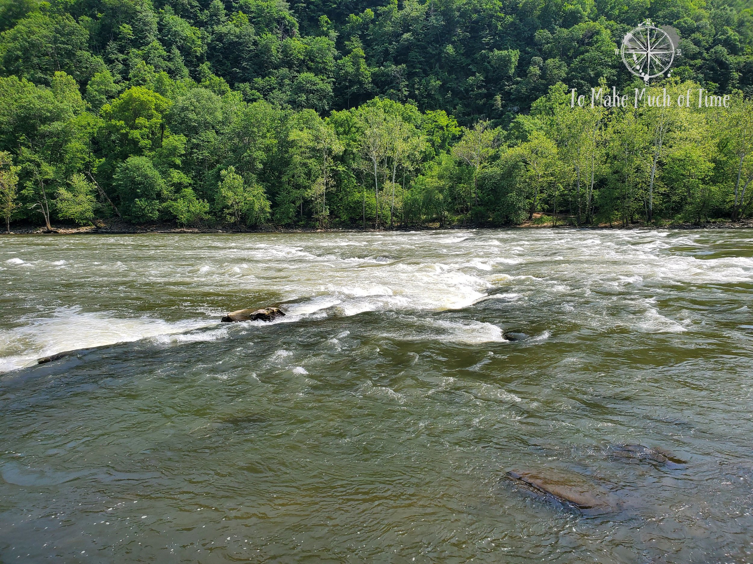
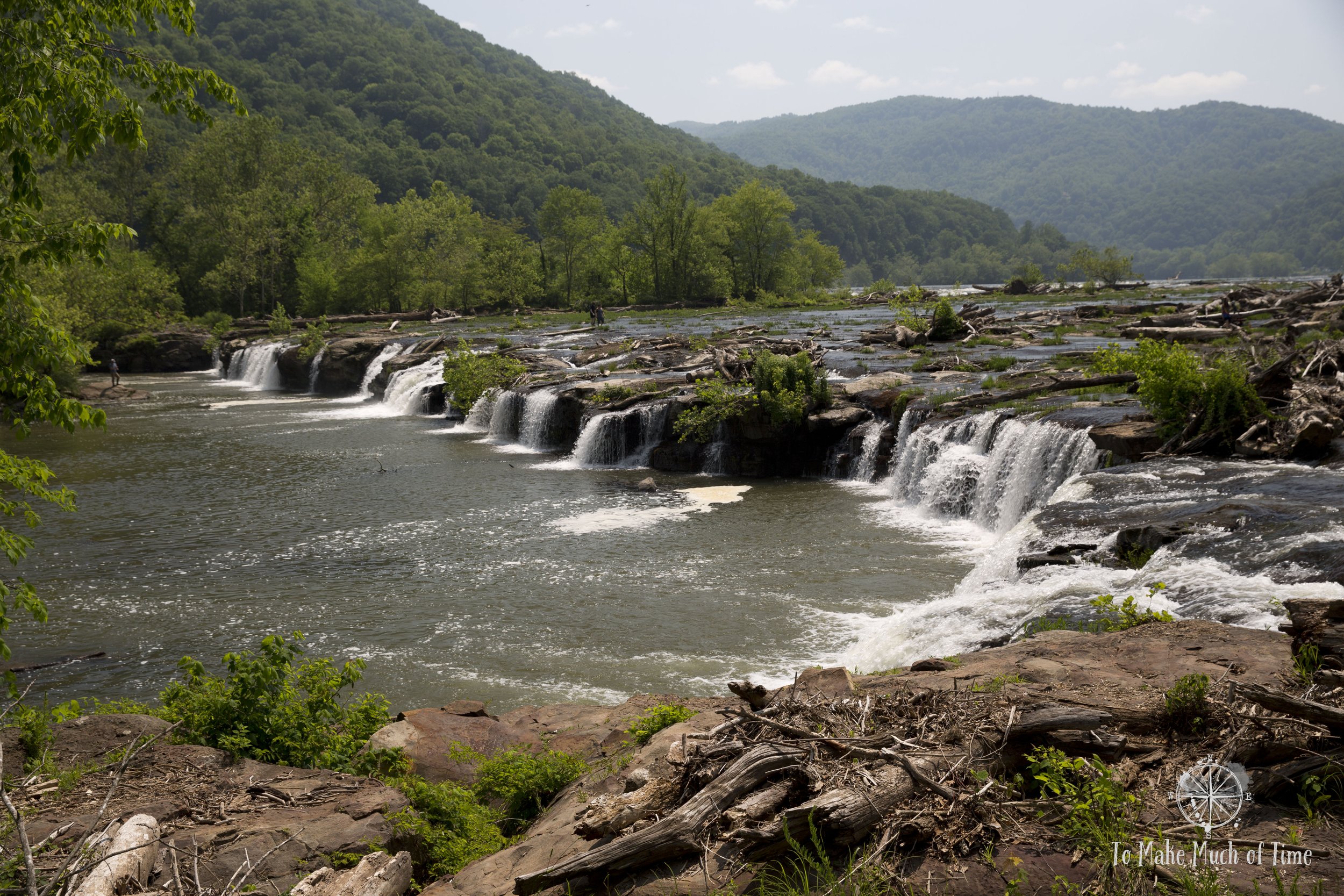
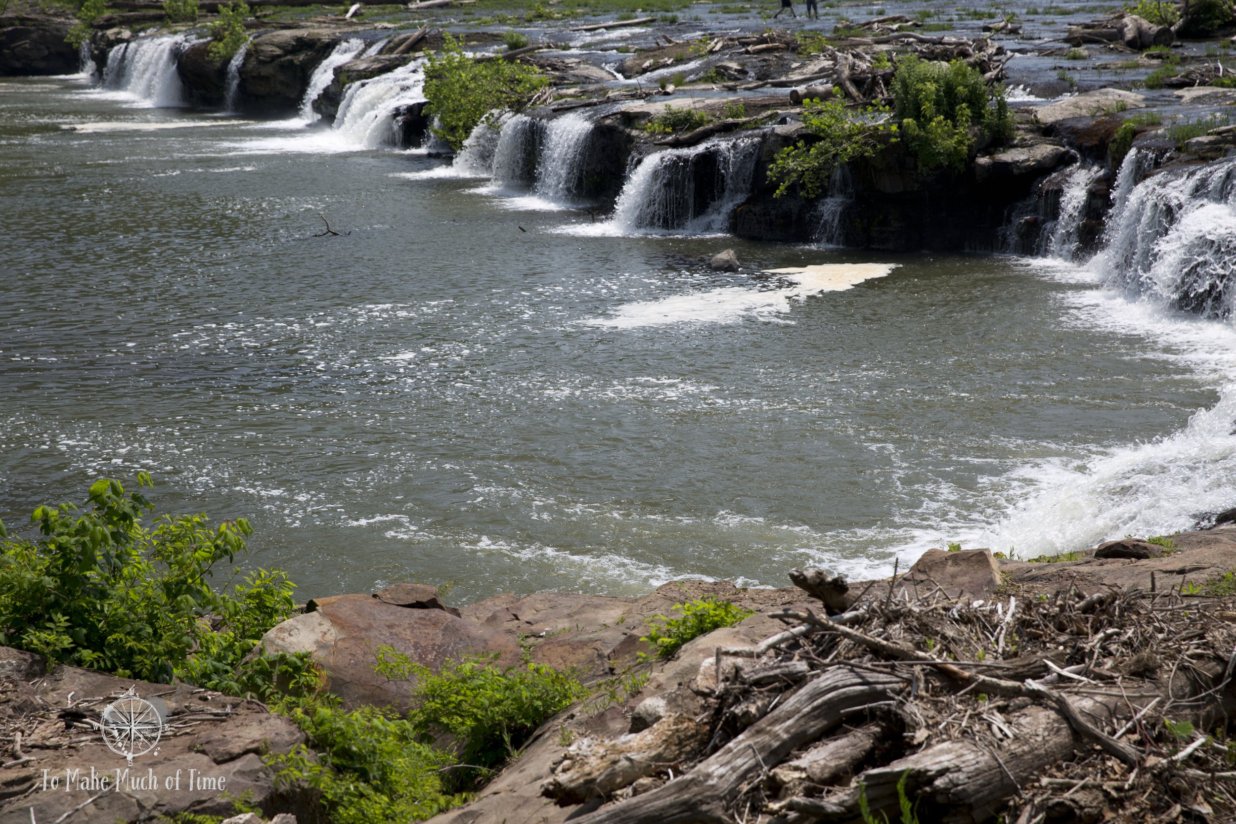
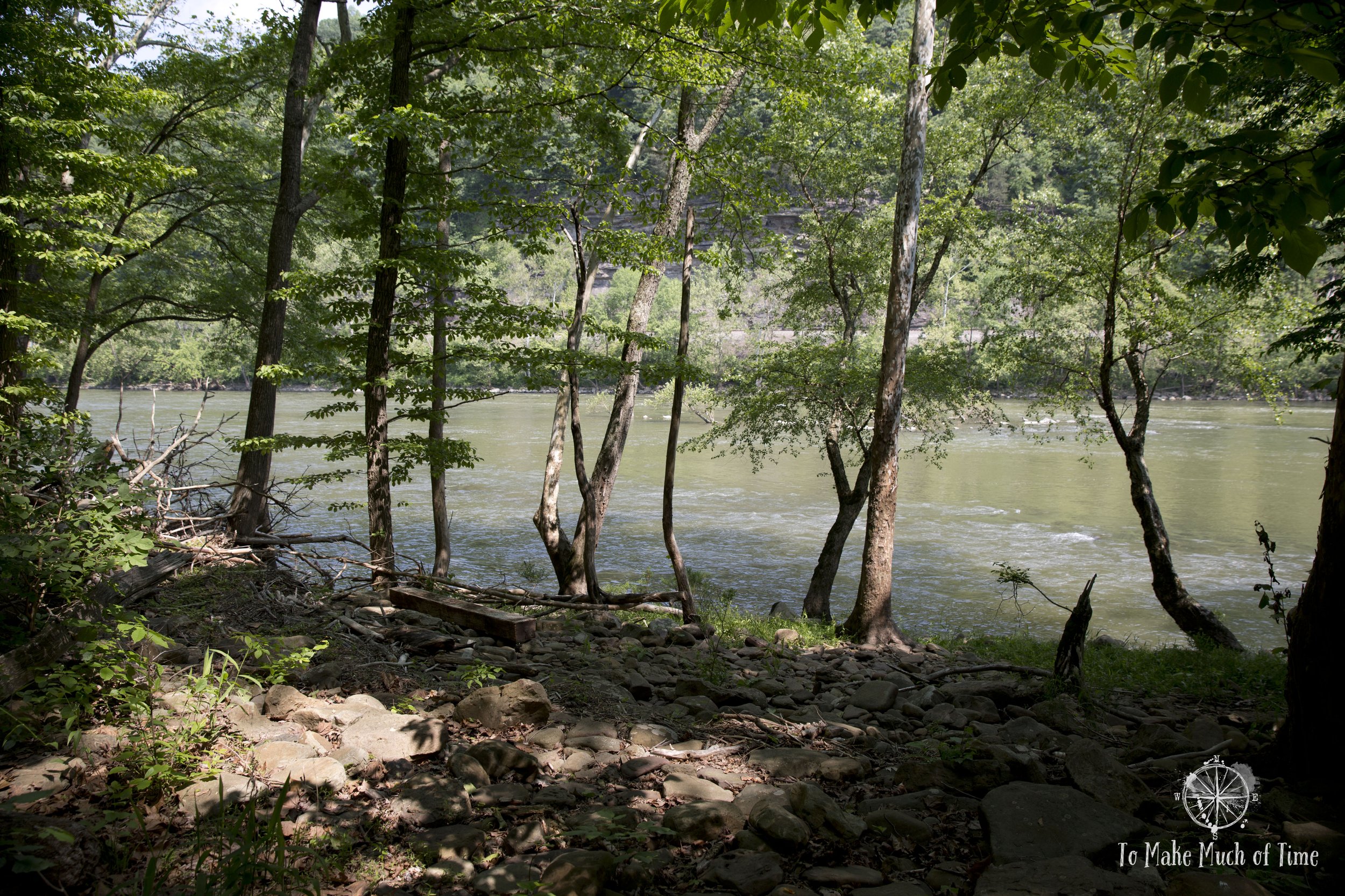
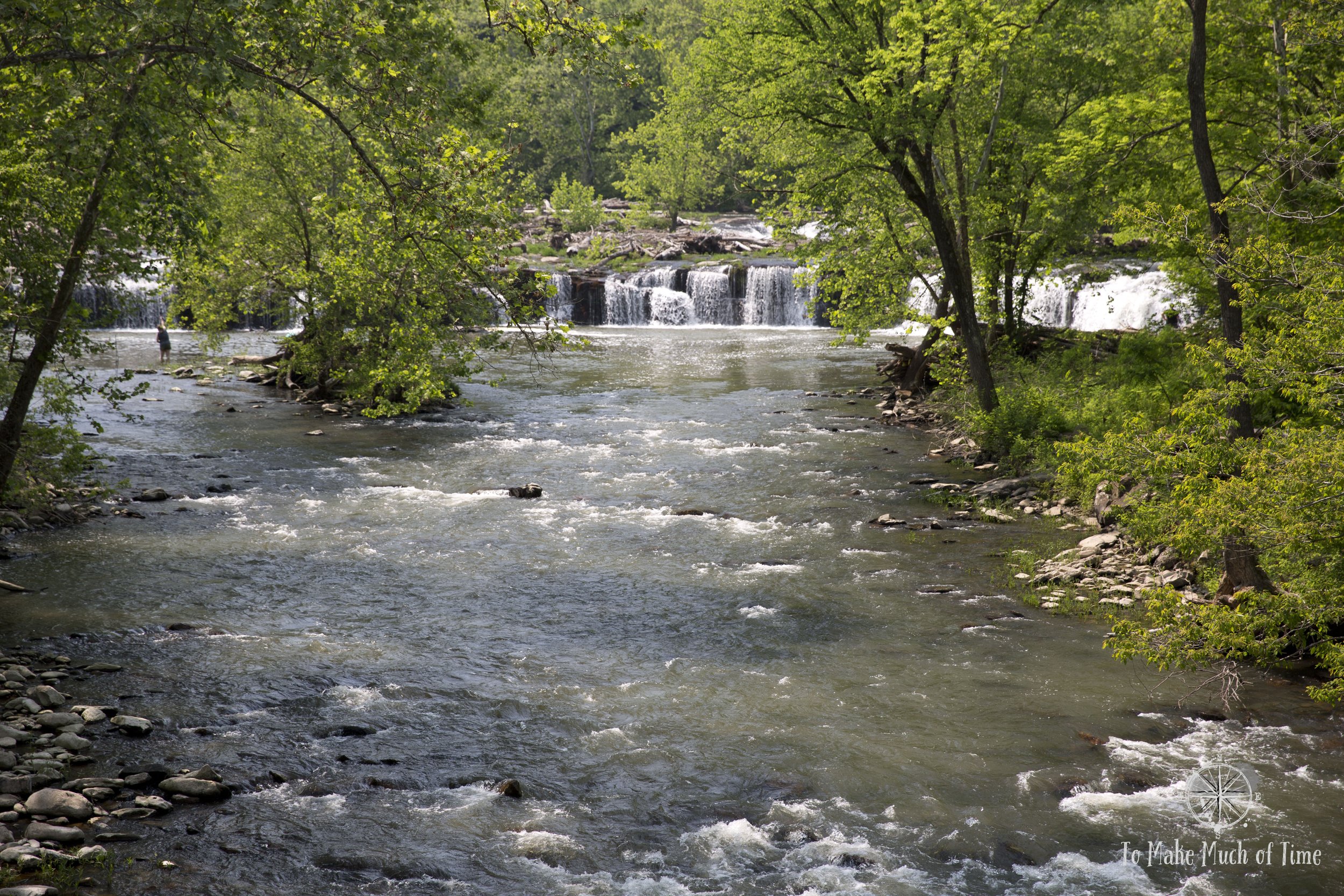
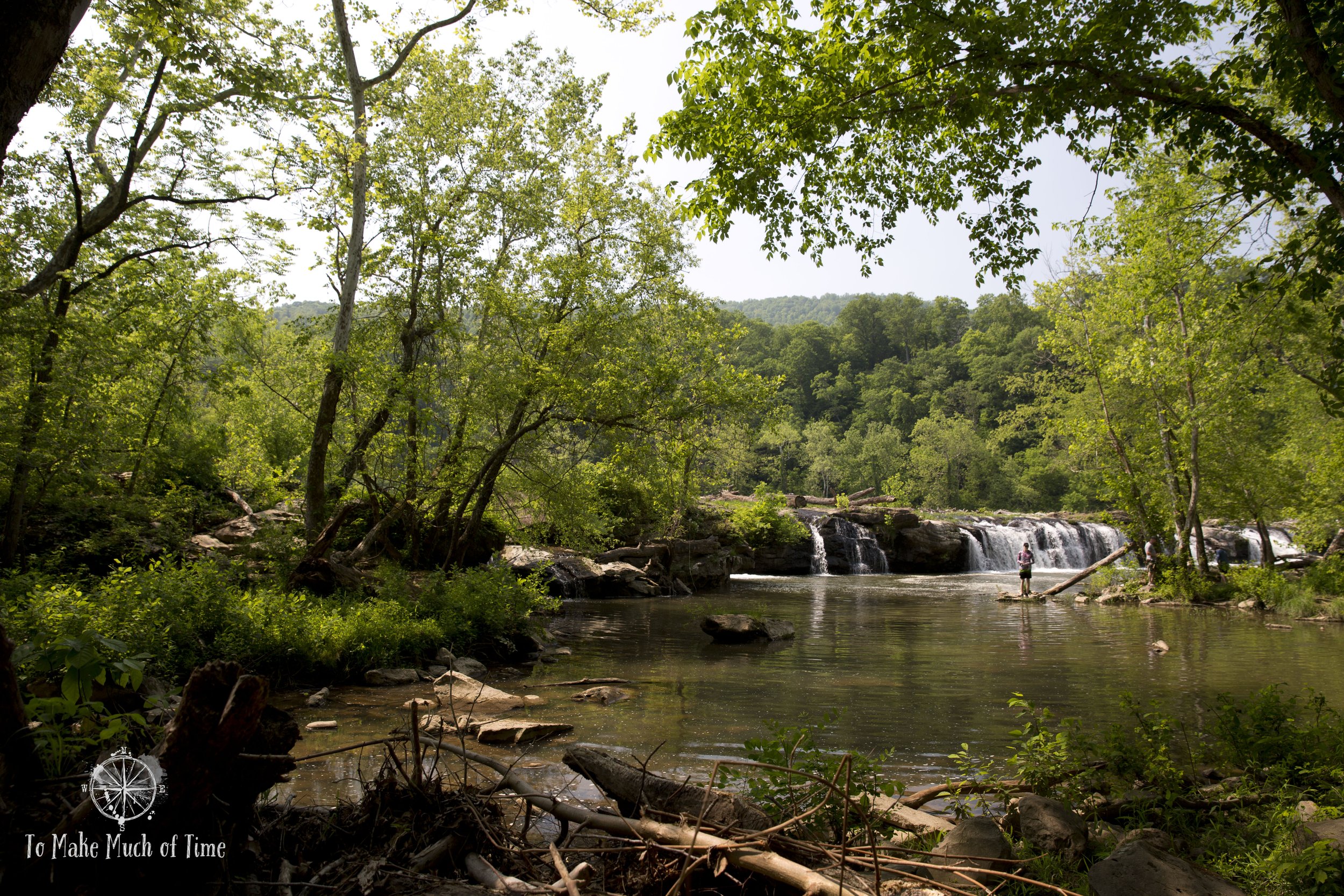
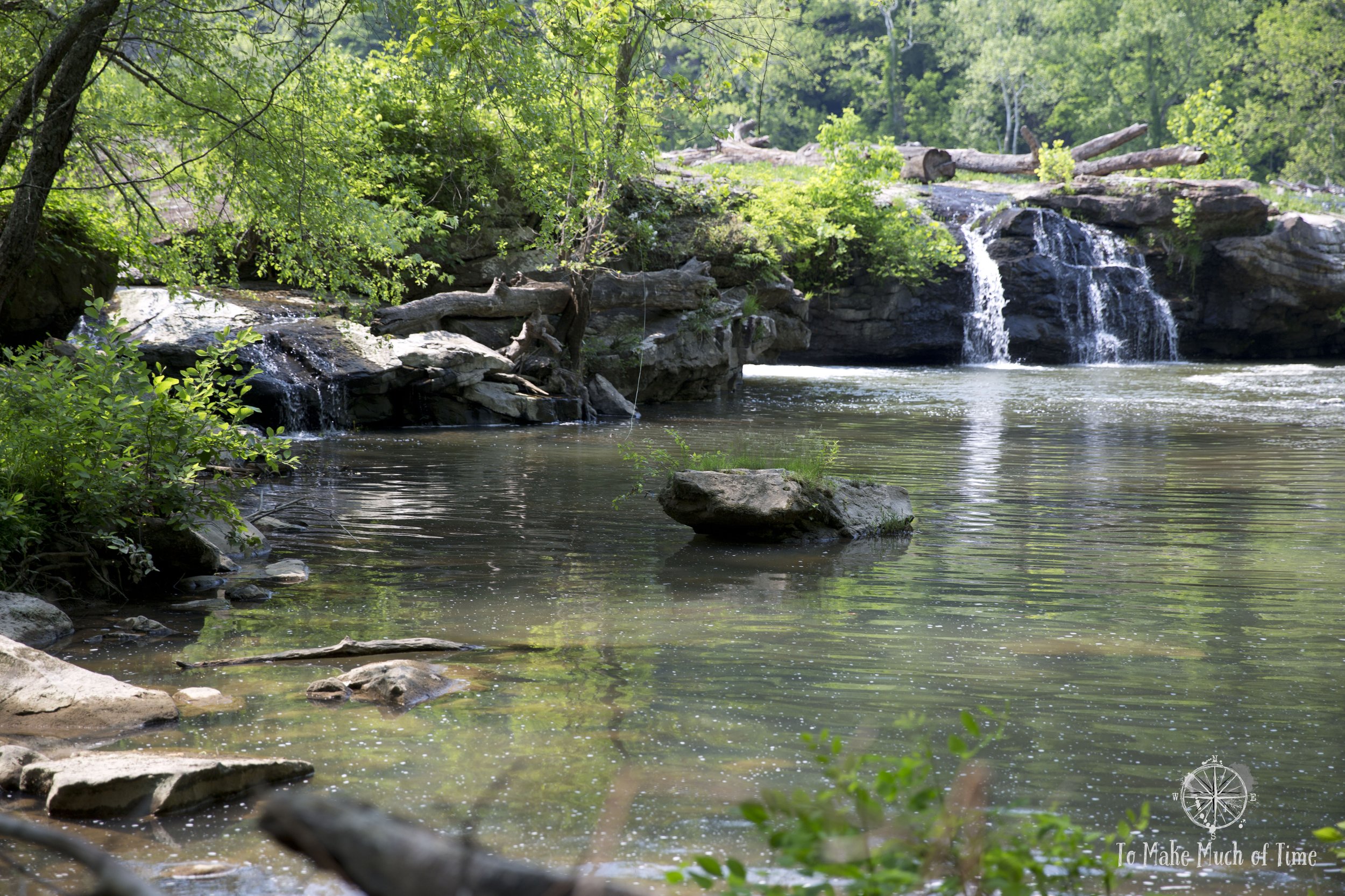
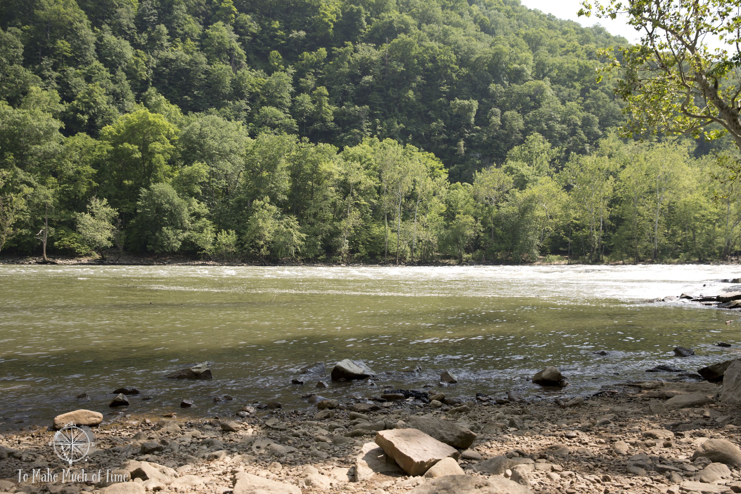
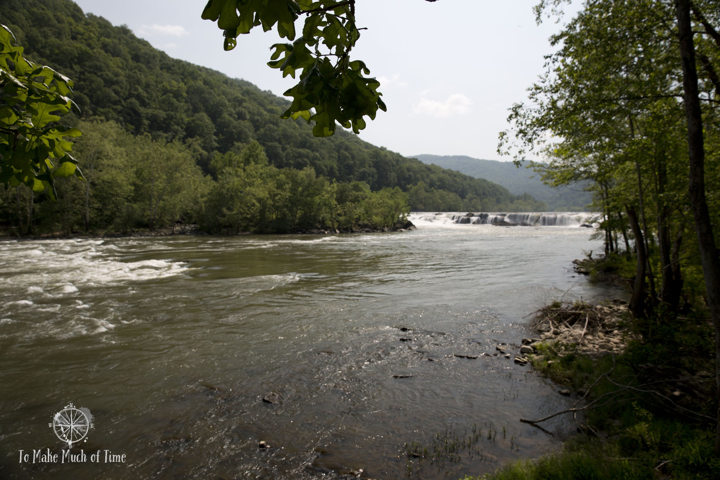
Sandstone Falls was very pretty and scenic, surprisingly so for relatively low falls but made more interesting by the width at this expansive part of the New River.
The drive back to Glen Jean from Sandstone Falls was a rural, very windy road that went up, over, and down a mountain at a 7% grade for large sections. It was pretty but required focused driving attention. Even though it wasn’t too late in the day, we were hungry from being outdoors and all the exercise so instead of heading straight to the Historic Downtown Thurmond, a modern-day ghost town, we stopped at our rental to eat dinner.
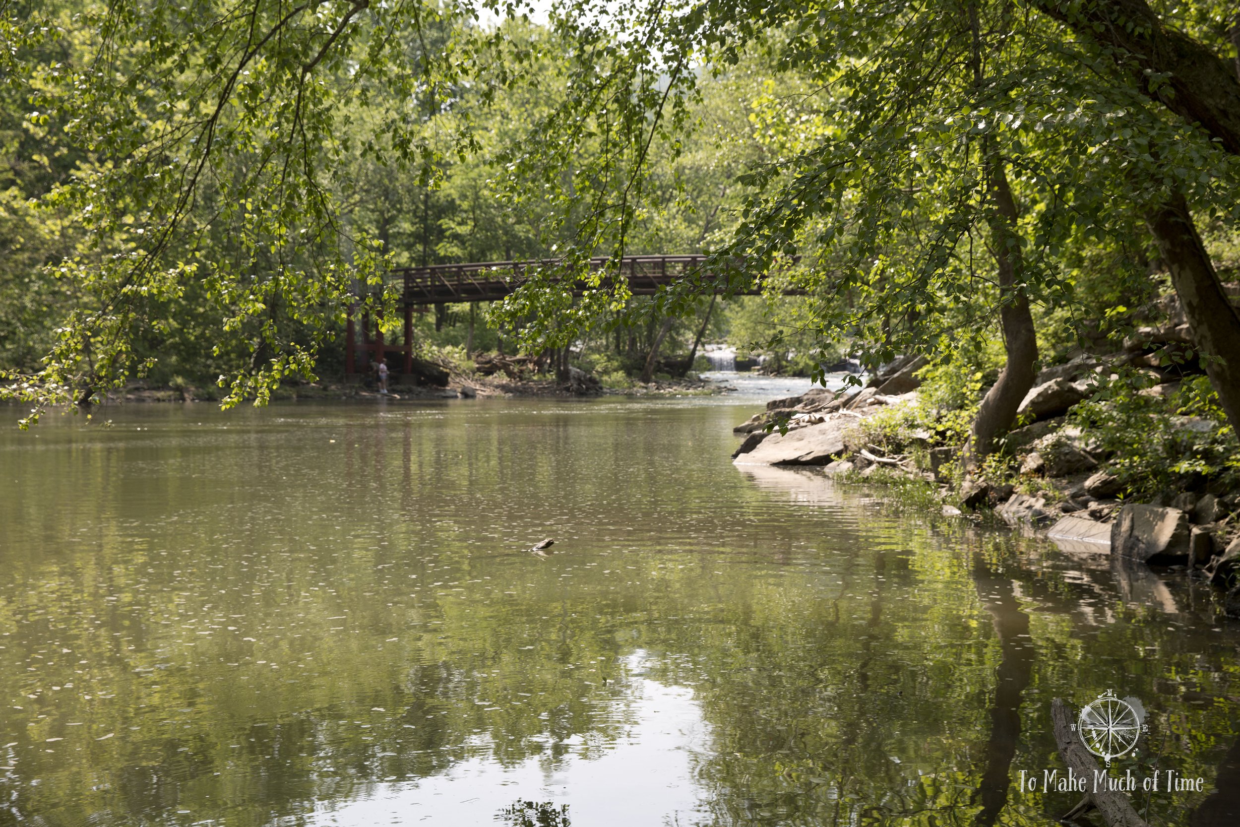
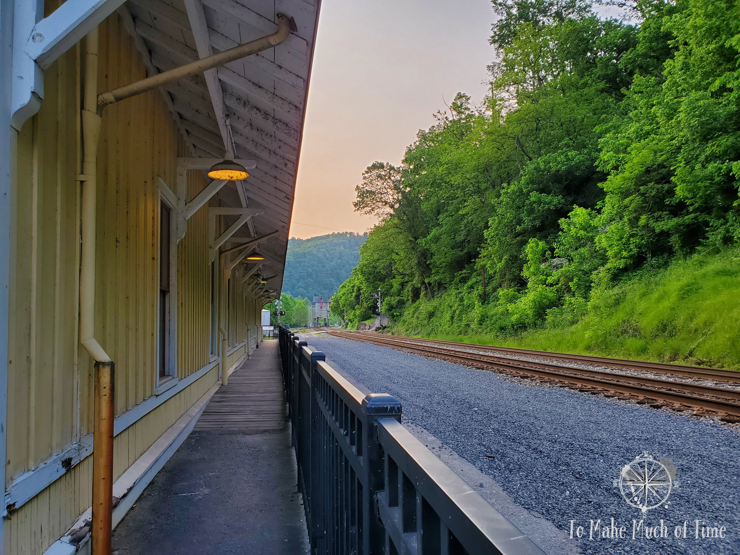
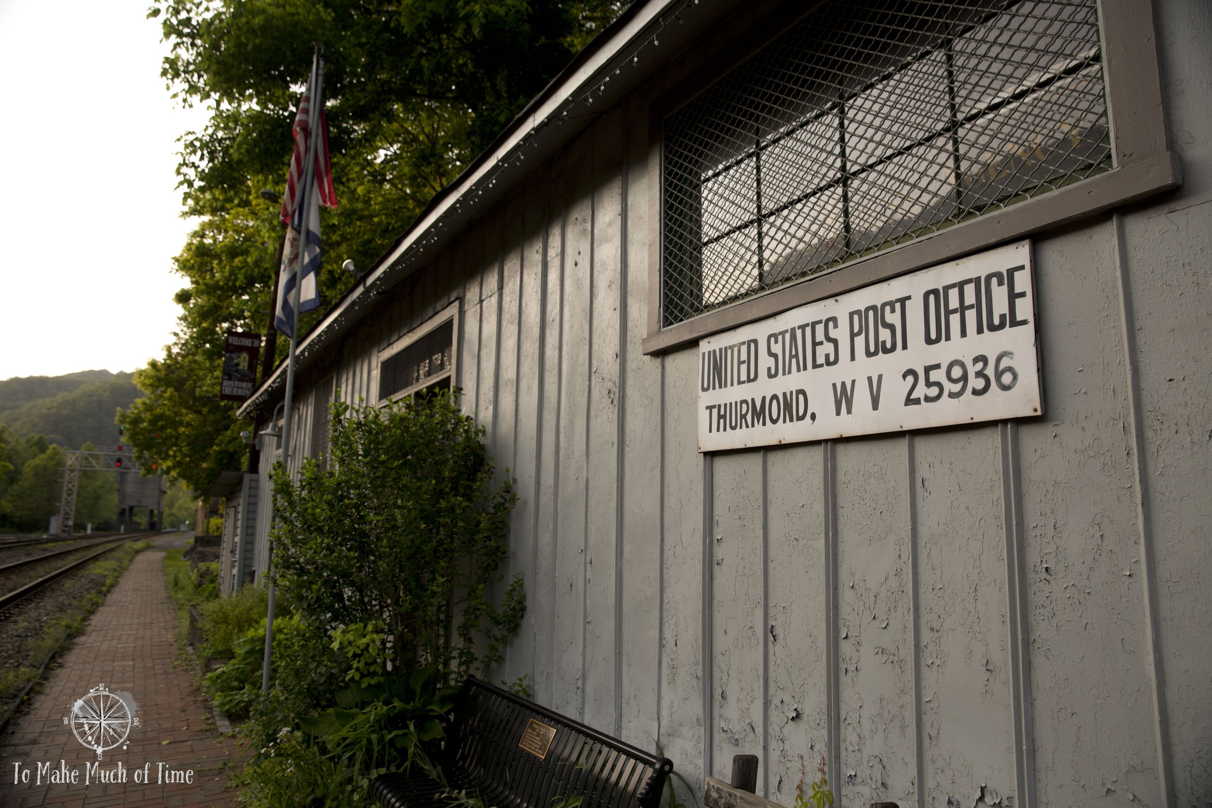
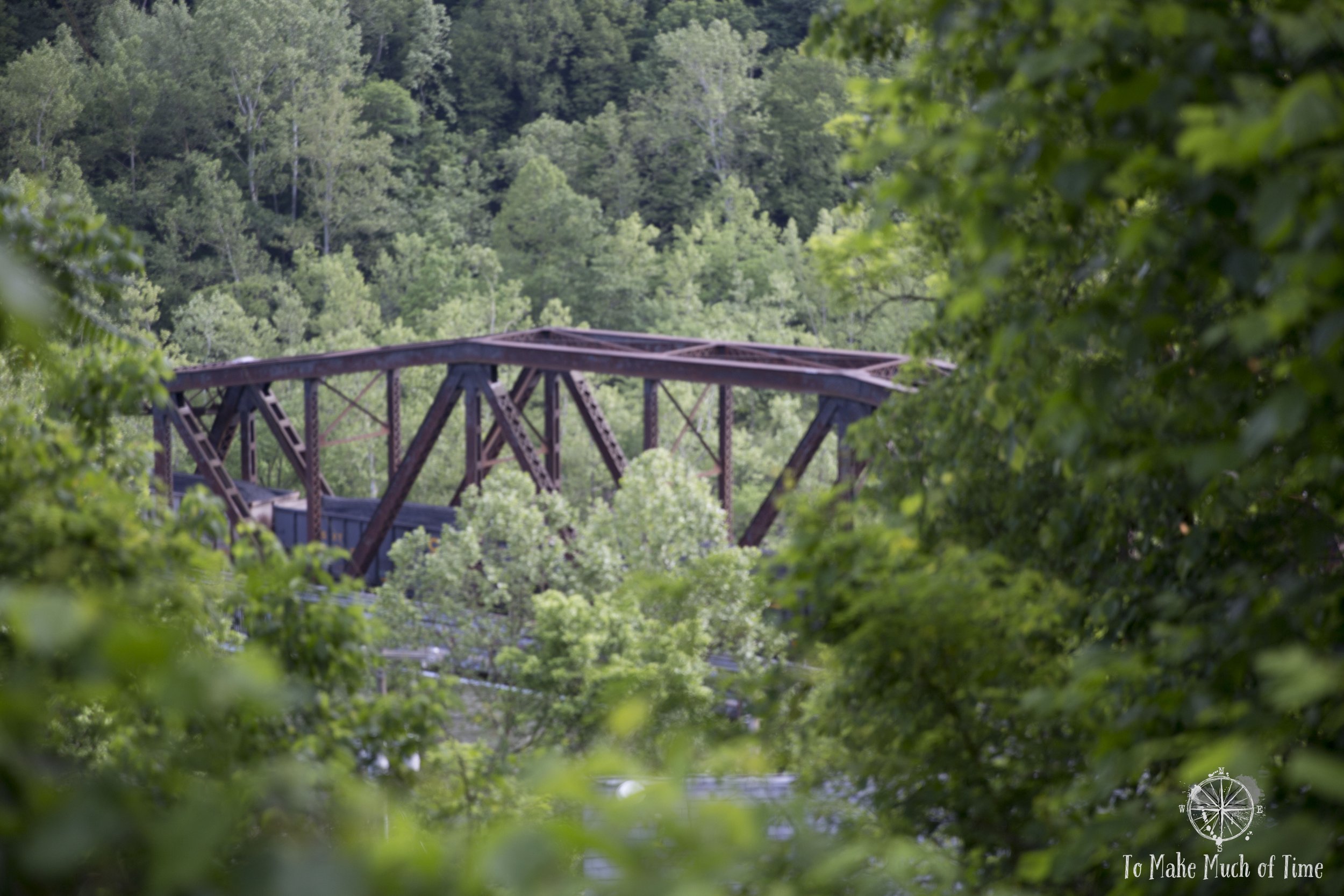
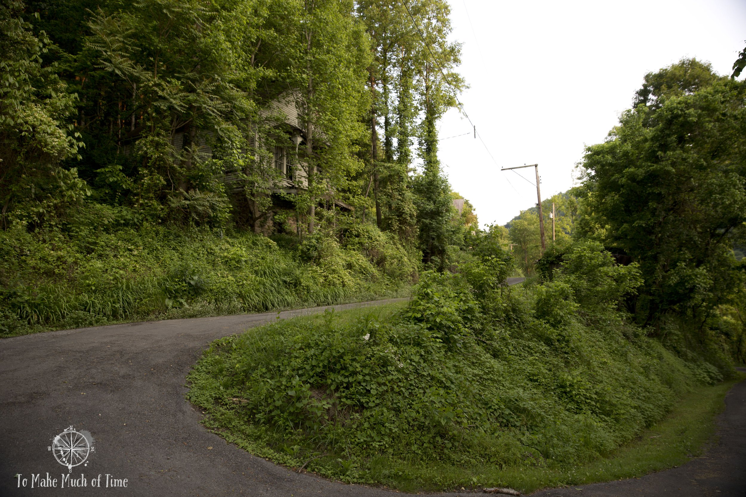
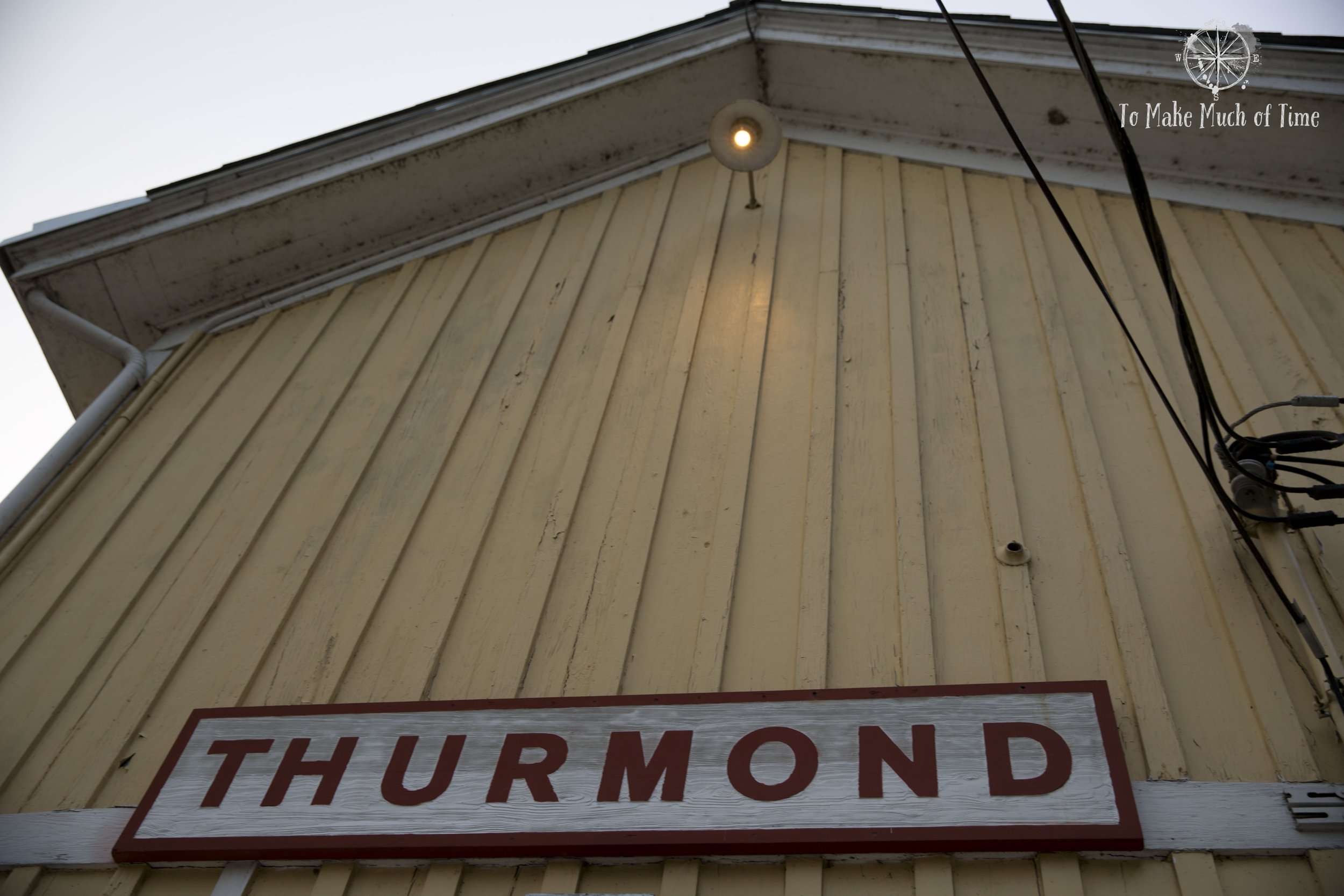
By the time we arrived at Thurmond, it was about 7pm. With sundown a bit after 8pm, the lighting was beautiful for photography. Access to Thurmond is across a trestle bridge that is split into a half for a railroad track on one side and cars and a sidewalk section with river overlooks for pedestrians on the other. At the end of the bridge is the train station and after crossing the tracks, the only option for drivers is to go straight uphill and then take a steep, sharp left-hand turn to come back down to the main street of Thurmond. It is an awkward entry that could easily throw off visitors.
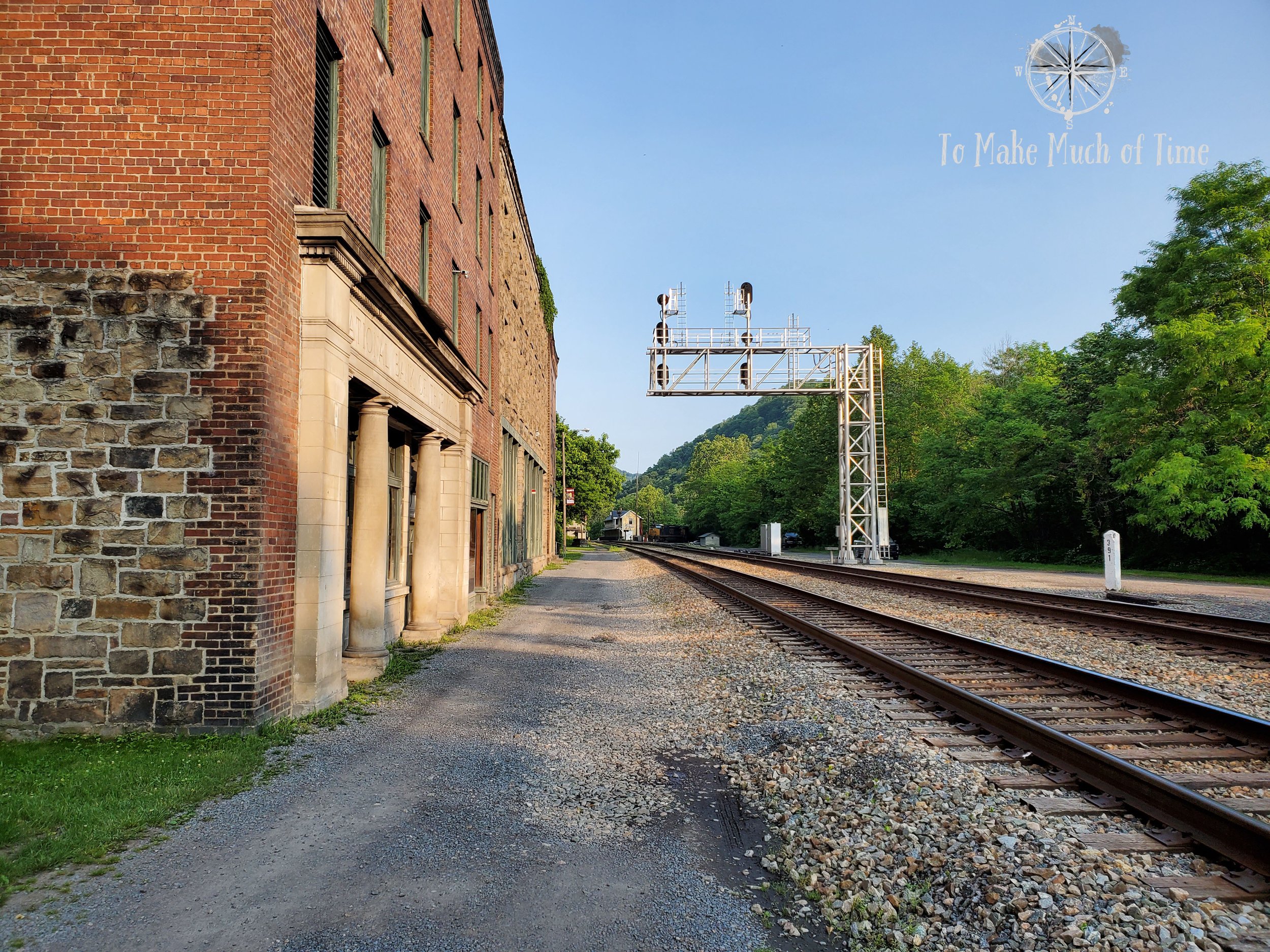
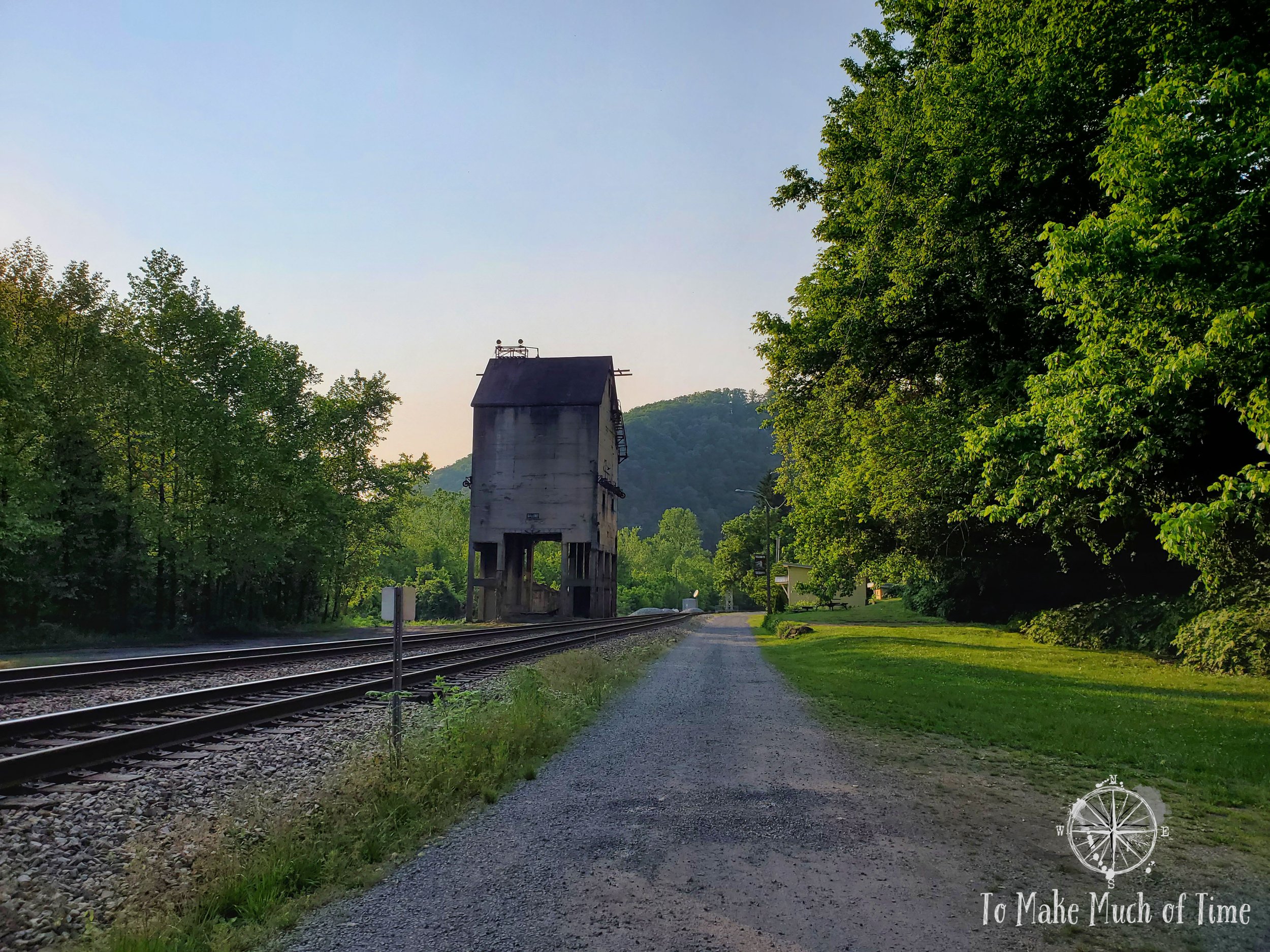
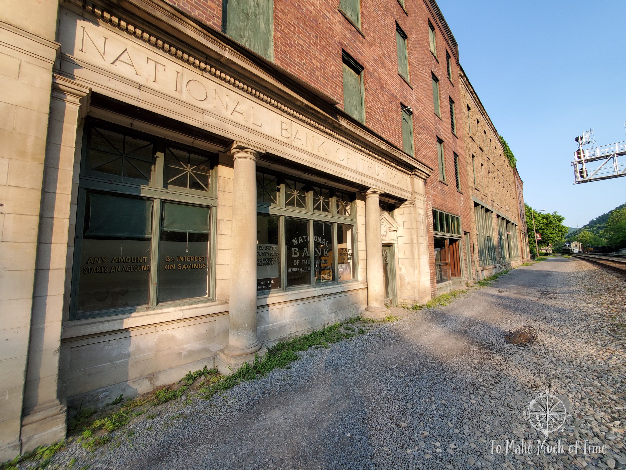
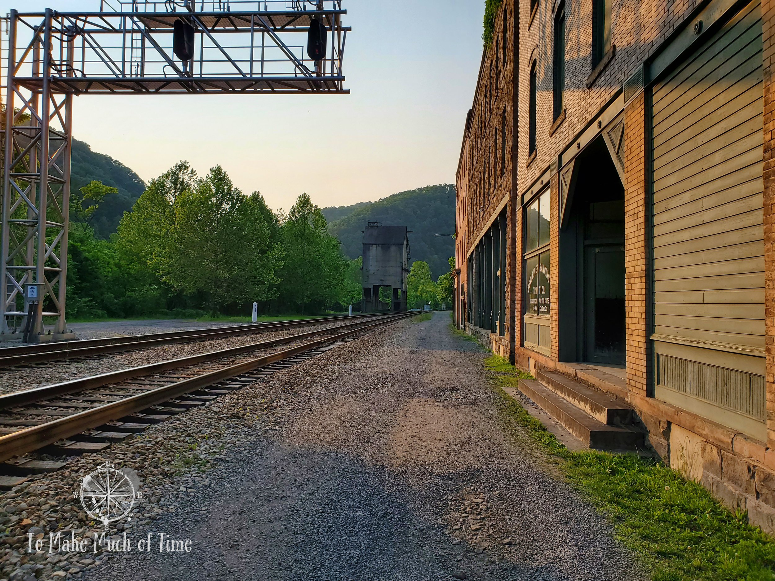
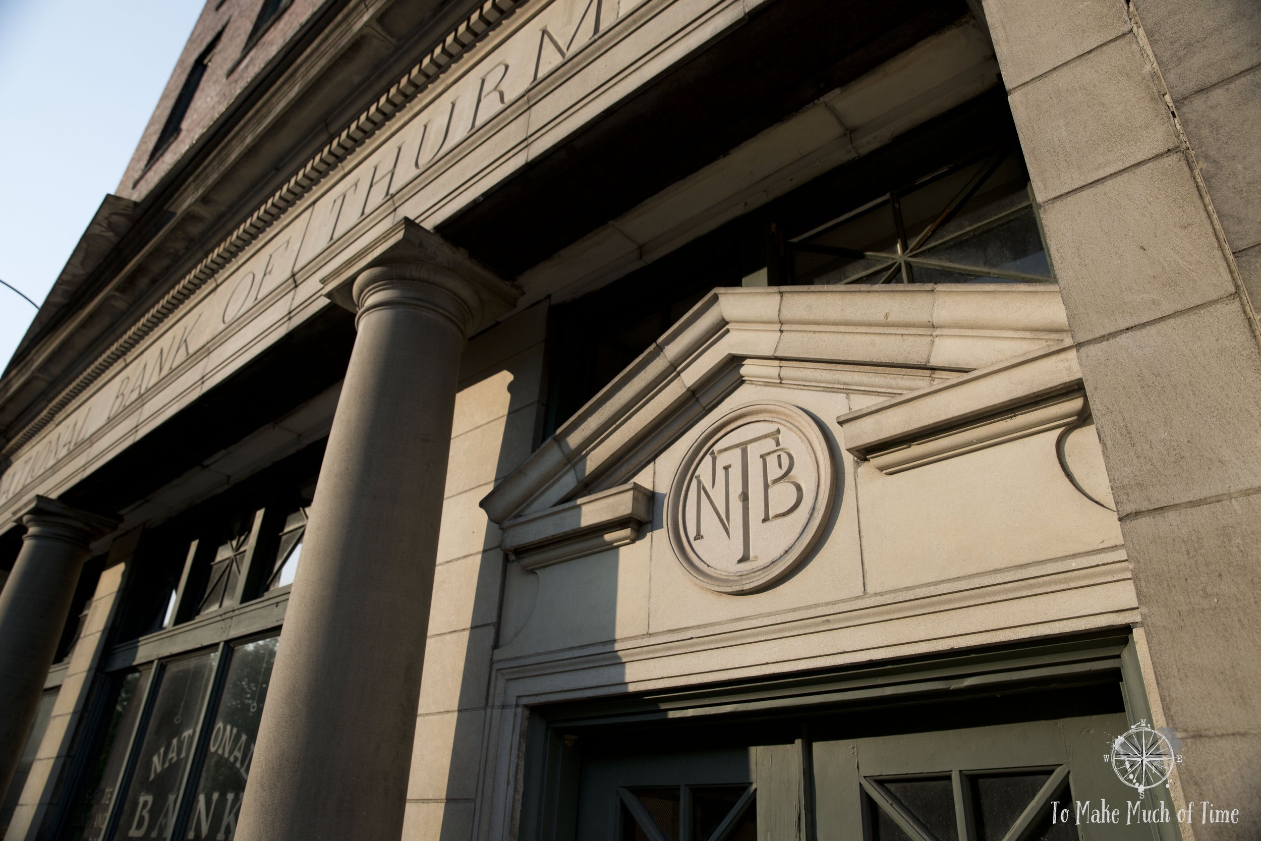
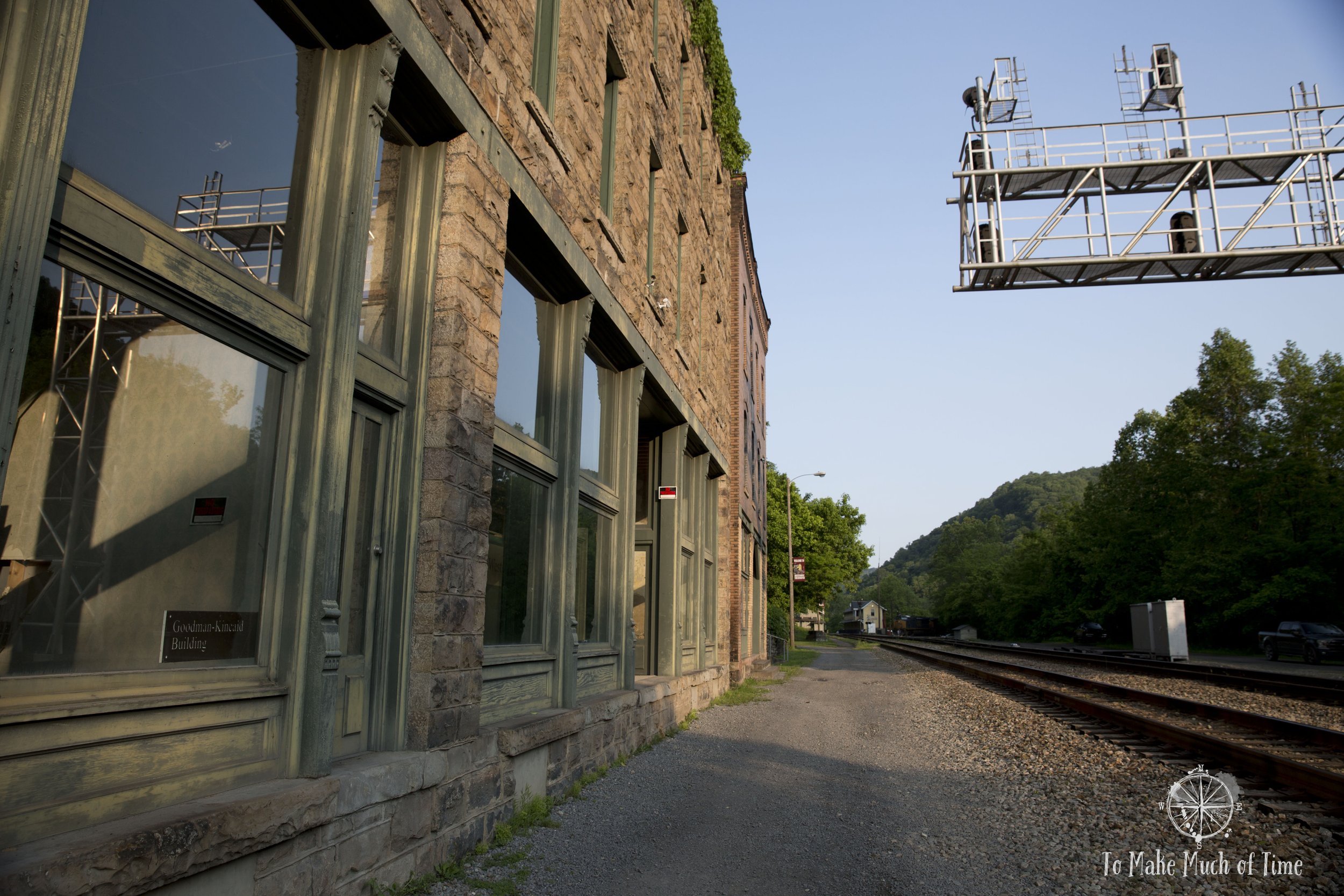
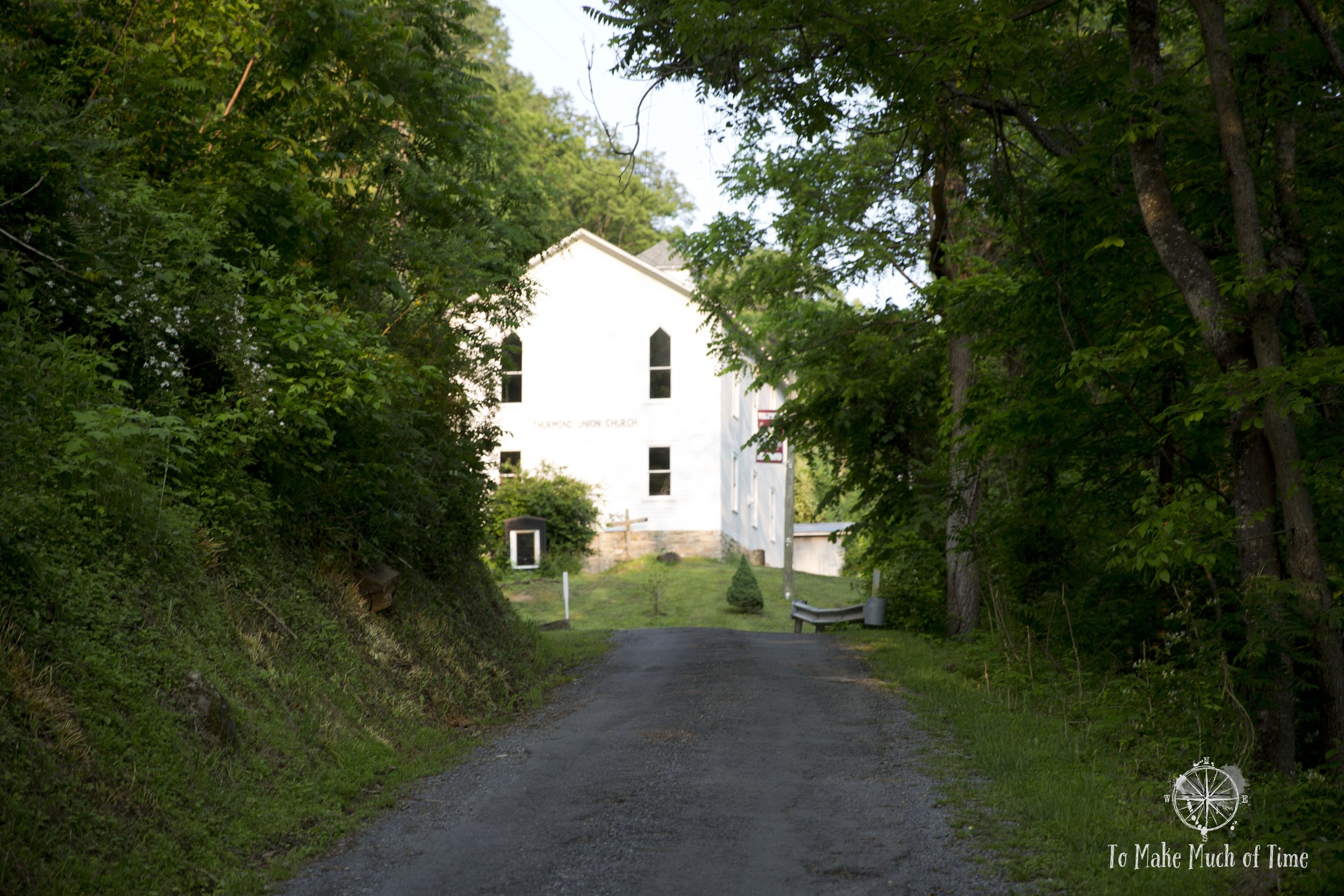
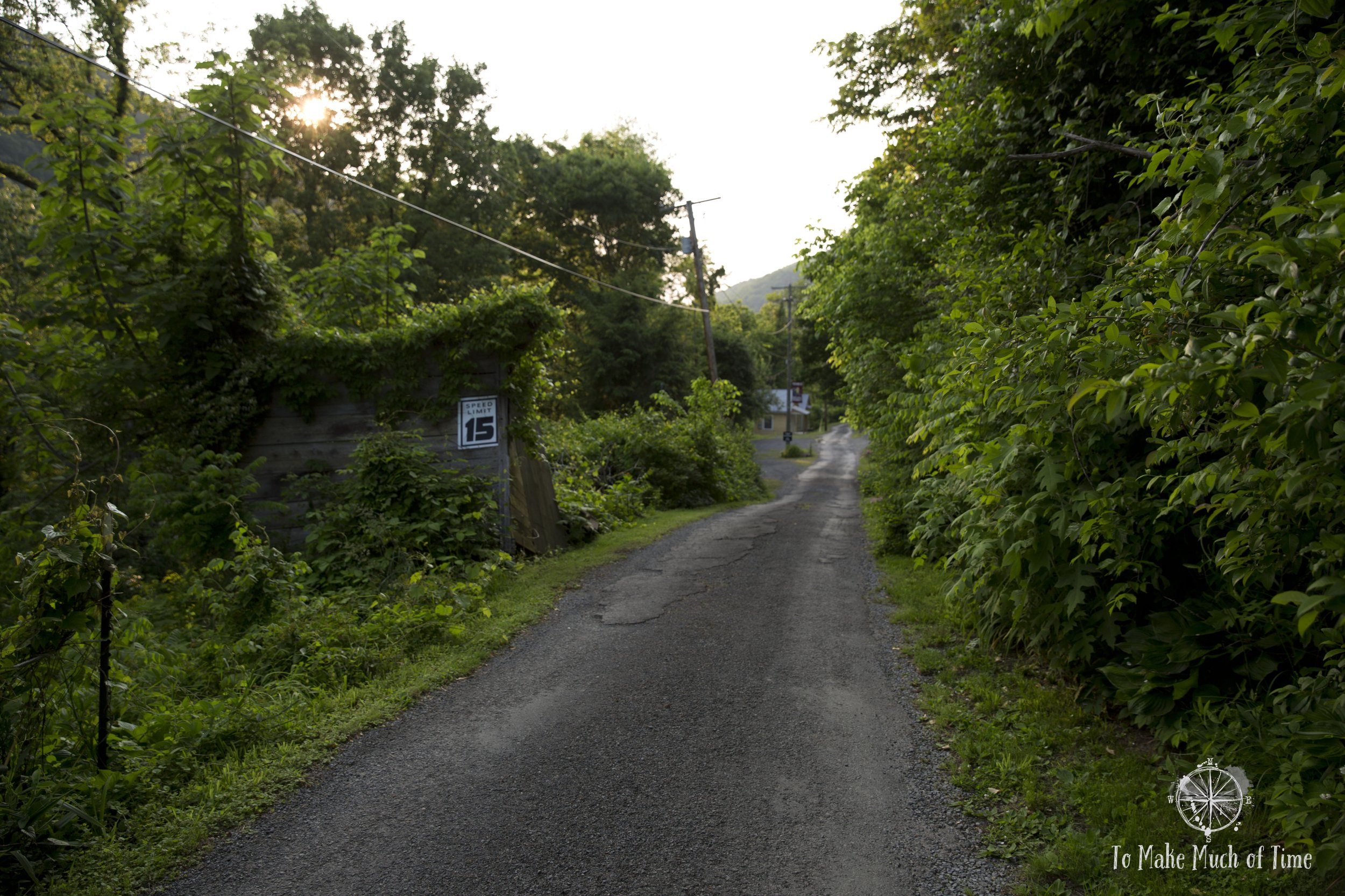
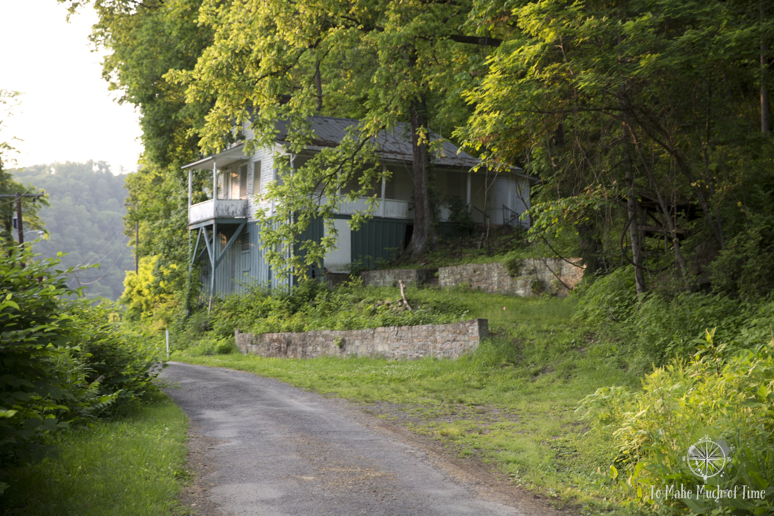
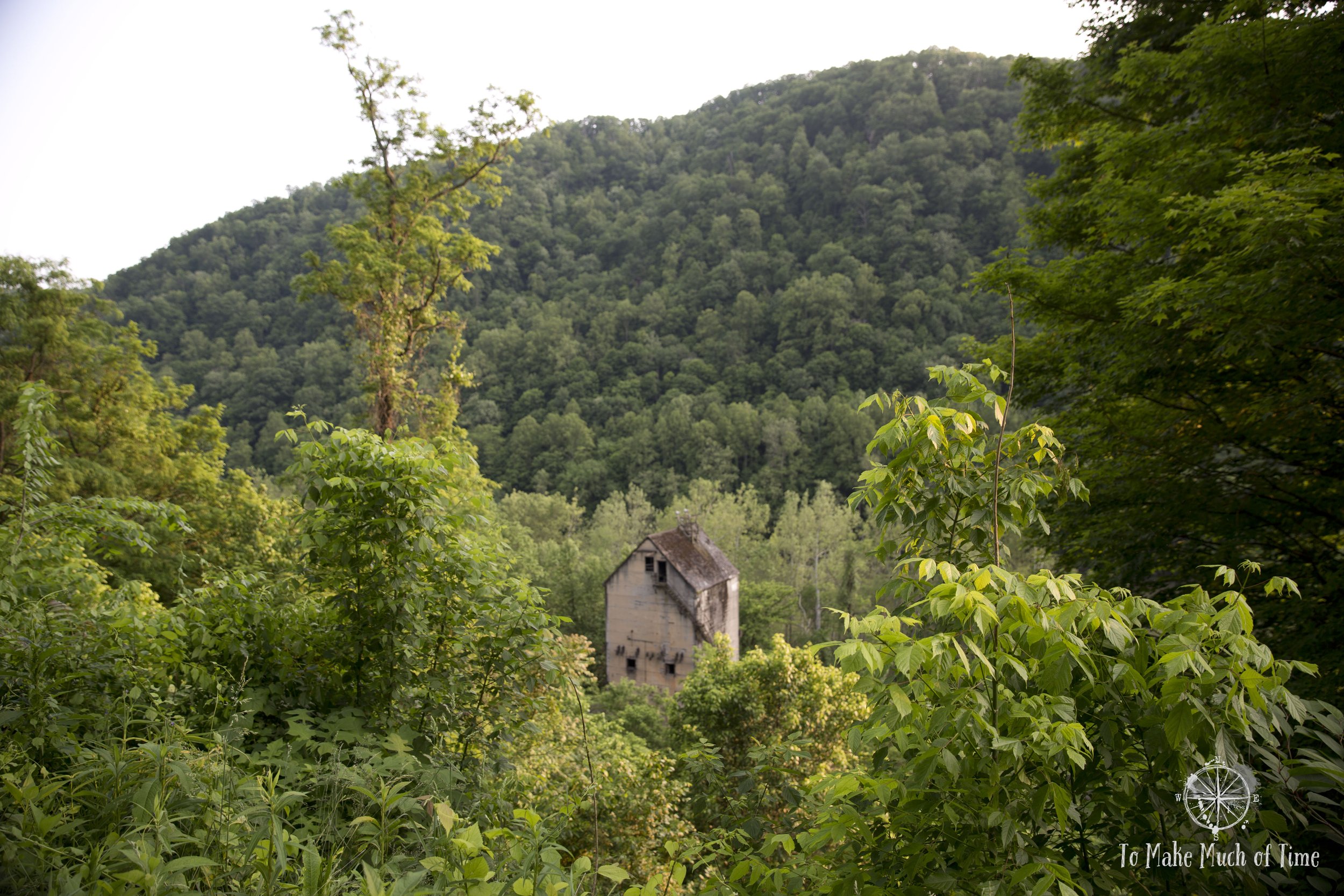
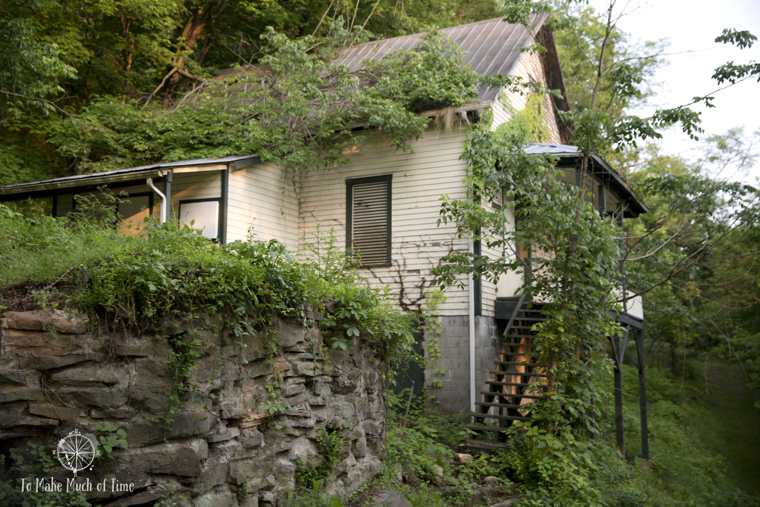
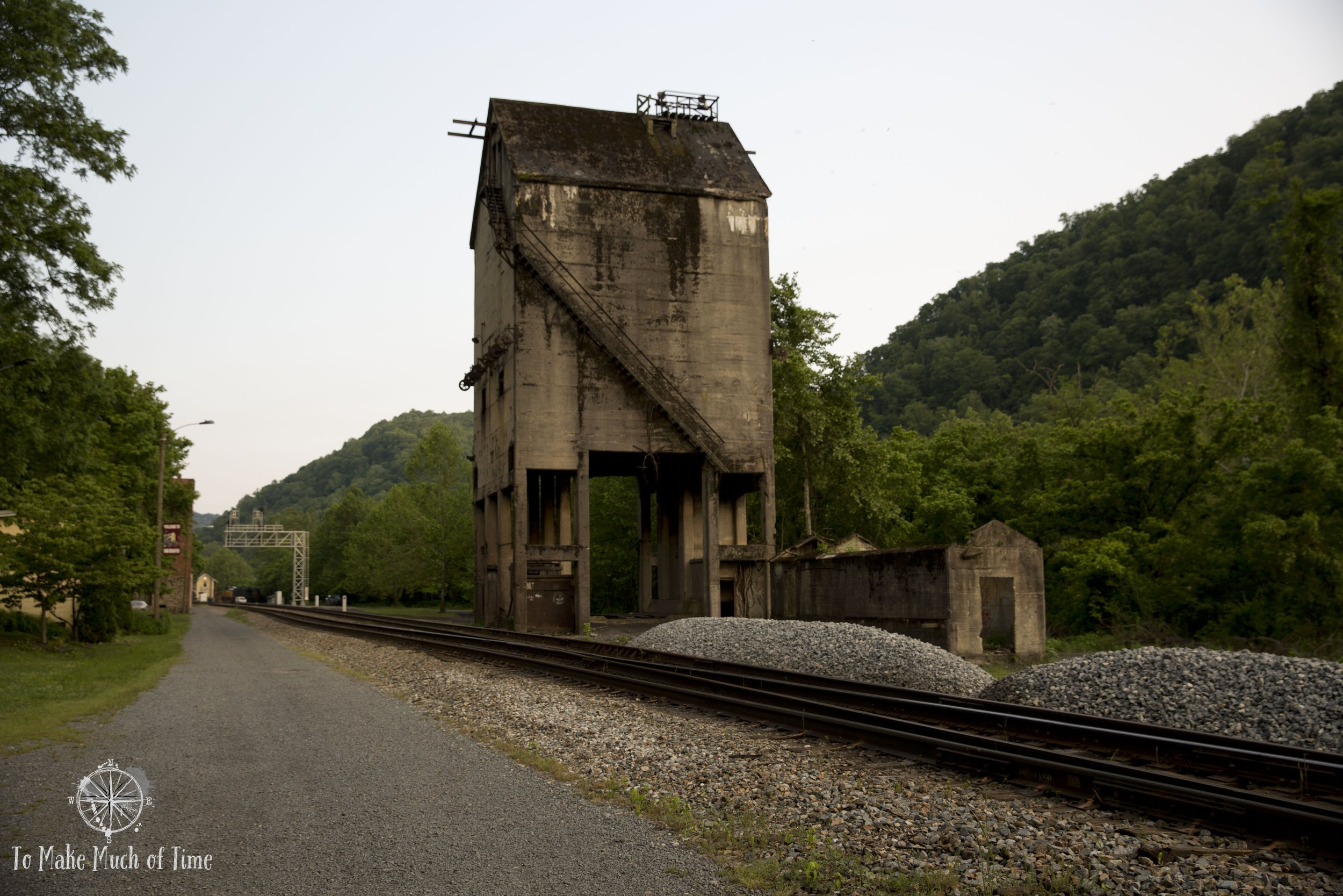
We spent the hour of daylight walking a 1.5 mile loop road from the lower downtown road up to the more residential area above it. The layout is constructed like this: the New River flows along its path; uphill from which is a train track with a coal tower for loading the trains; right next to which is the main street that was once home to a hotel, banks, and town hall; and up a steep road from there is a secondary street (Highland Street) with residences.
Thurmond’s heyday lasted from the 1870s to 1950s and started its decline in 1949 when the railroad industry moved away from steam trains, a major source of the local economy. The bustling downtown that is still visible along the railroad track today had a large hotel, which has since burned down, several banks and nearly 50 businesses.
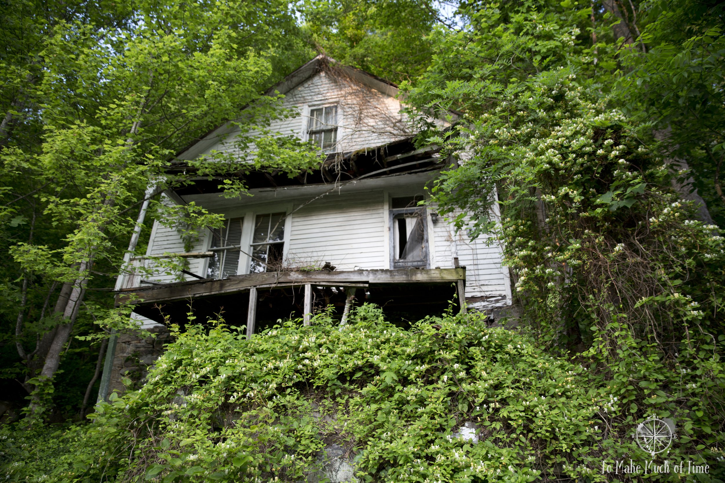
A hint of life at this vine-infested house in Thurmond.

Through a window, you can see the peeling walls and the dark maw where the floor has fallen away.

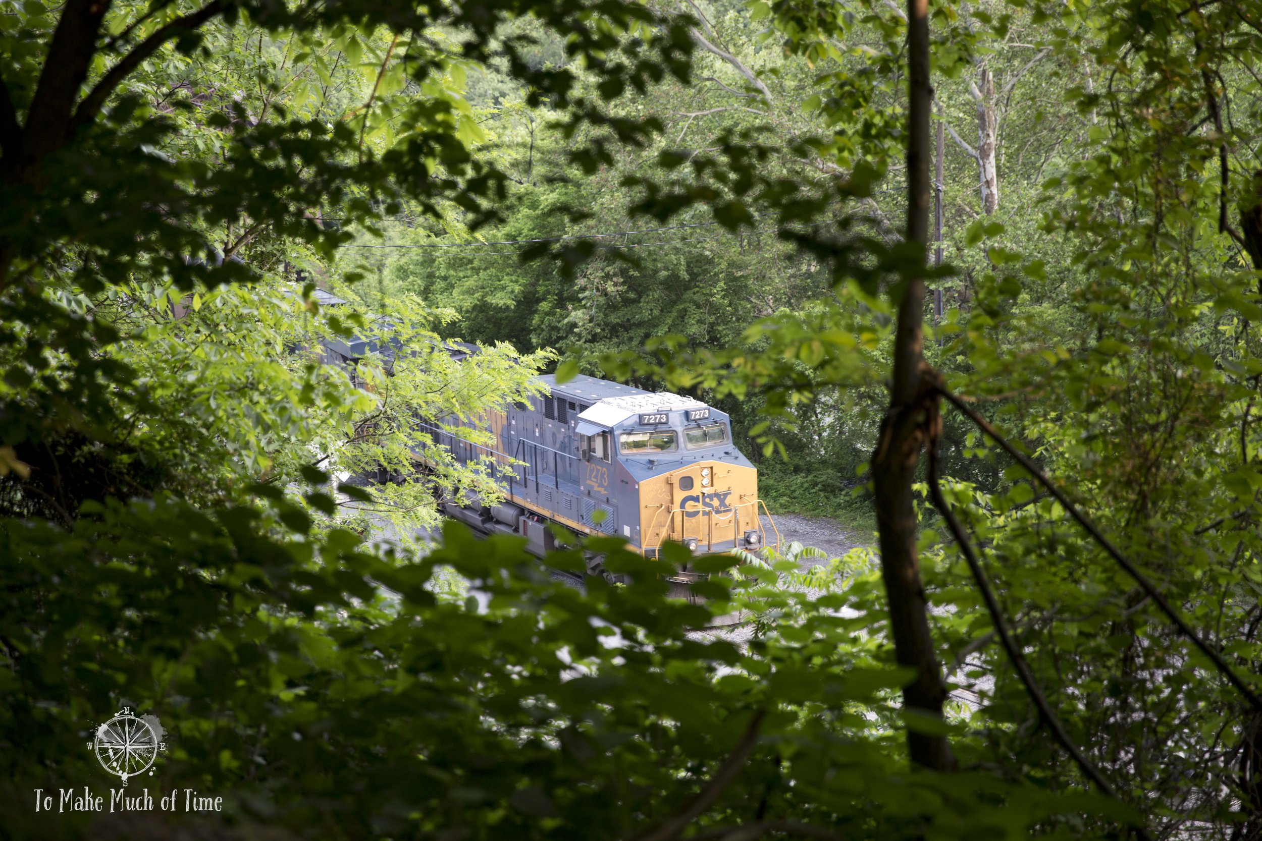
The bridge that carries people into Thurmond is half dedicated to a train track, and half is shared between cars and pedestrians. The visible train depot is still a stop on the Amtrak line.
Our driving route day 1:
Day 2 in New River Gorge: Endless Wall Trail, New River Gorge Bridge Overlook, Long Point Trail, Babcock State Park Grist Mill
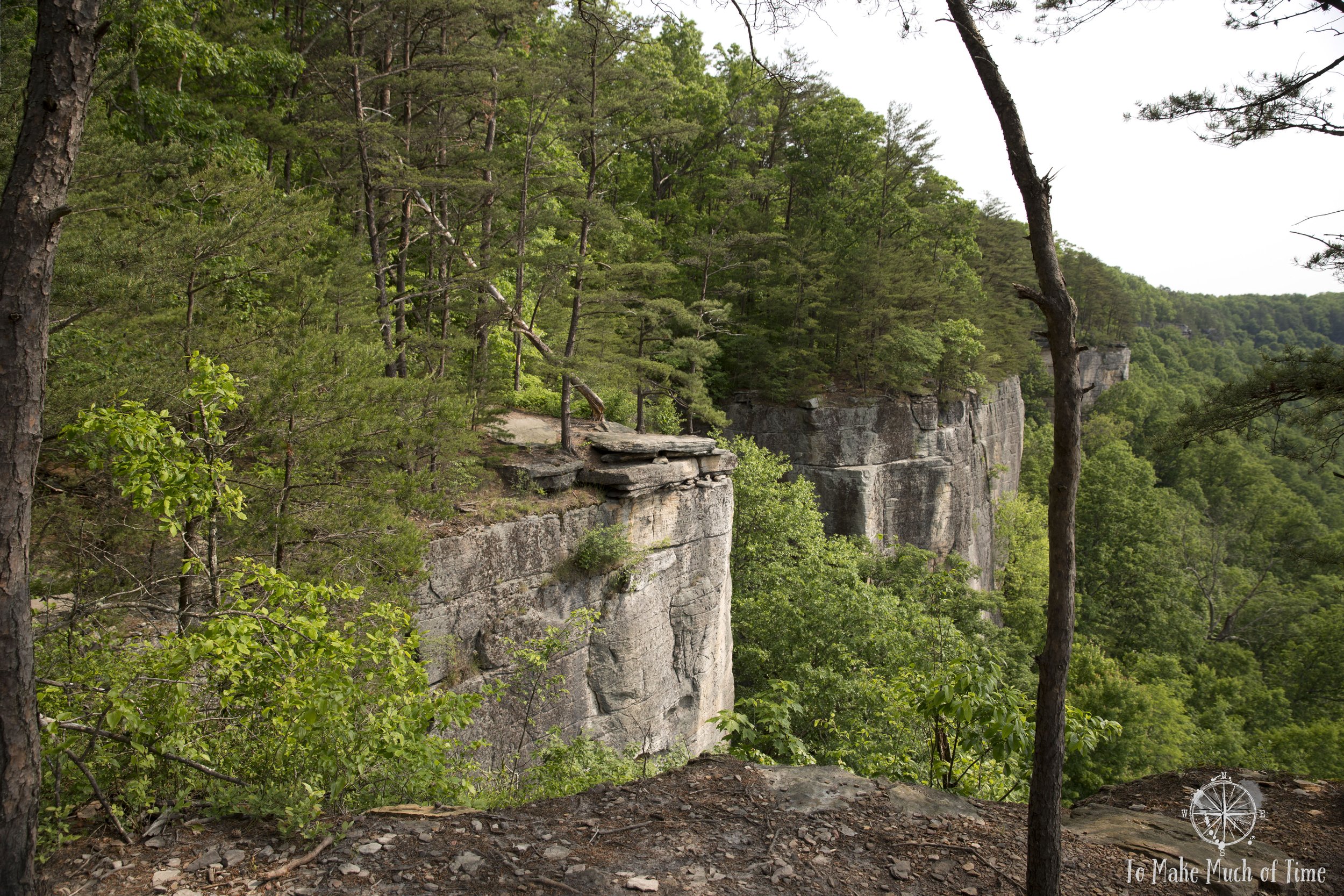
Endless Wall Trail

Trail head at Endless Wall

Catawba rhododendrons abloom on Endless Wall Trail
Endless Wall Trail is a hike that is widely recommended, which also makes it popular. We had read online that the parking lot can fill early, but we figured a Monday in late May before peak season would give us a decent shot. When we arrived around 10am, there were two true spots left, but there was room for probably another 4-5 vehicles to cram in along the fences (as confirmed when we returned after our hike).
Endless Wall Trail is not properly a loop trail but it has two trailheads that are about ½ a mile apart along a road. Many visitors choose to hike one of the parking lots out to Diamond Point and back-track to their vehicle. As mentioned previously, I do not enjoy out-and-back trails nearly as much as loop trails so of course our decision was to start at the Endless Wall Trail parking lot, hike the entire trail to the Nuttall parking lot and then return by walking along the road, which had a gravel shoulder for hikers.
This hike is considered moderate with several hundred feet of elevation gain and loss along the way. In total, my fitness tracker clocked our route in at 3.0 miles over 96 minutes. The trail was pretty easy going, though it was muddy periodically (as we found all area trails) and had tree roots along the path. We were happy to be on the trail during the relatively limited time of the year when the pale pink and white Mountain-laurel bloomed and in some spots, we saw more splashes of bring pink Catawba rhododendrons.
There were a couple of short bridges along the trail to spice up the scenery of the wooded areas but the real star of the show was the segment of the hike along the gorge’s rim. Both before and after Diamond Point were several overlook spots from which we could see the New River Gorge Bridge, the New River, and a few large rocky outcrops, which were also accessible to rock climbers (not our thing!).

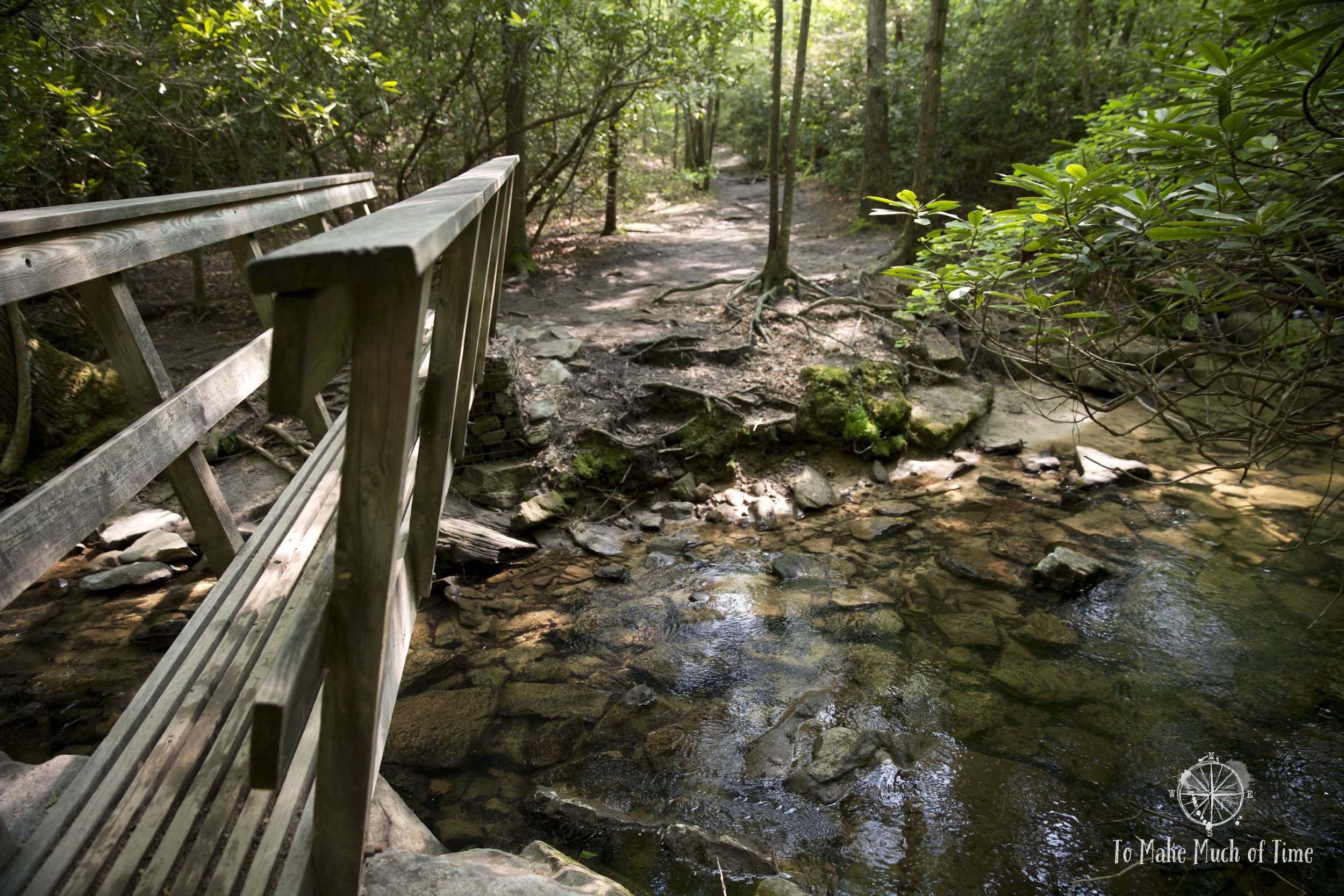

A creek next to the Endless Wall Trail
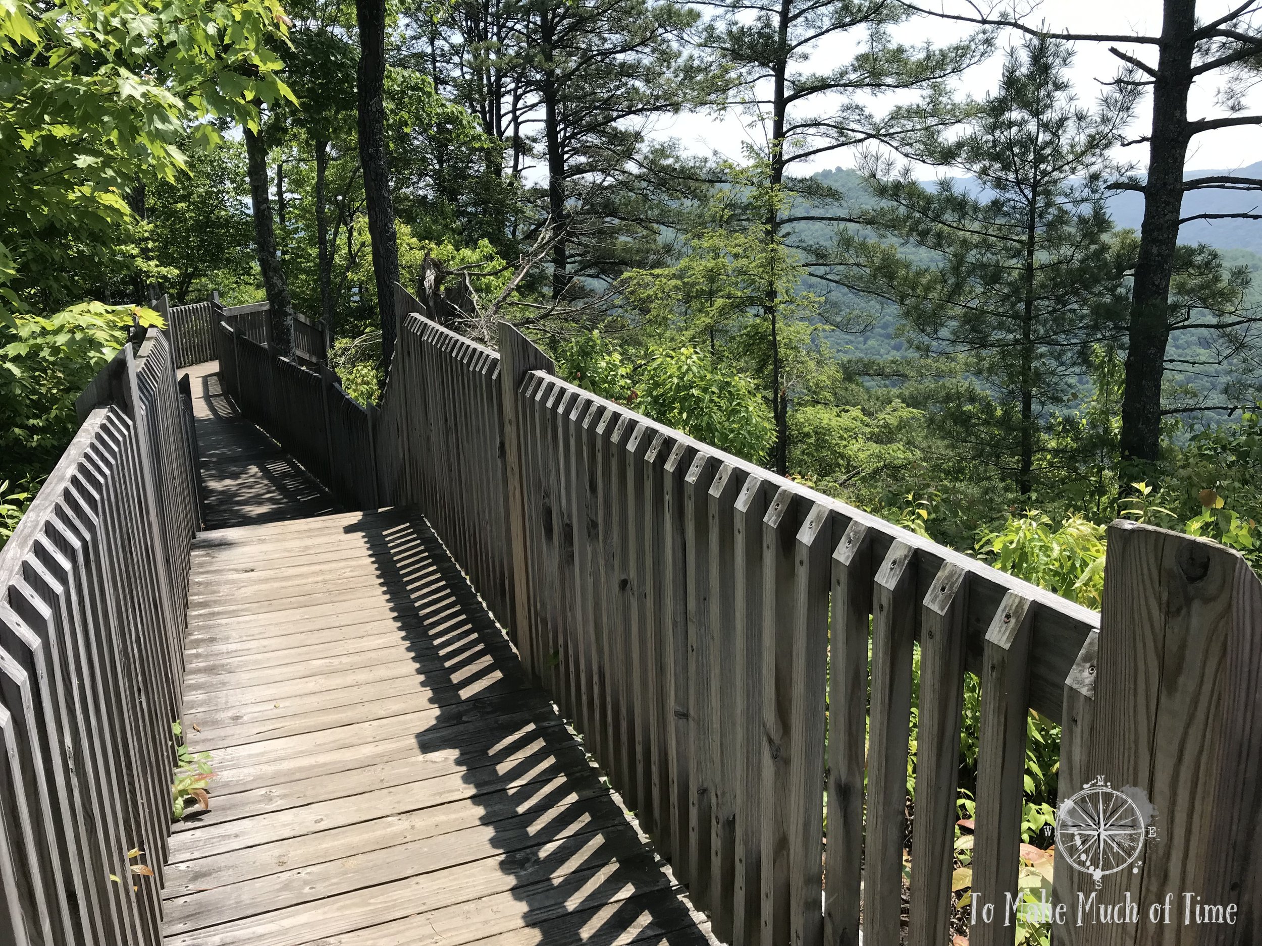
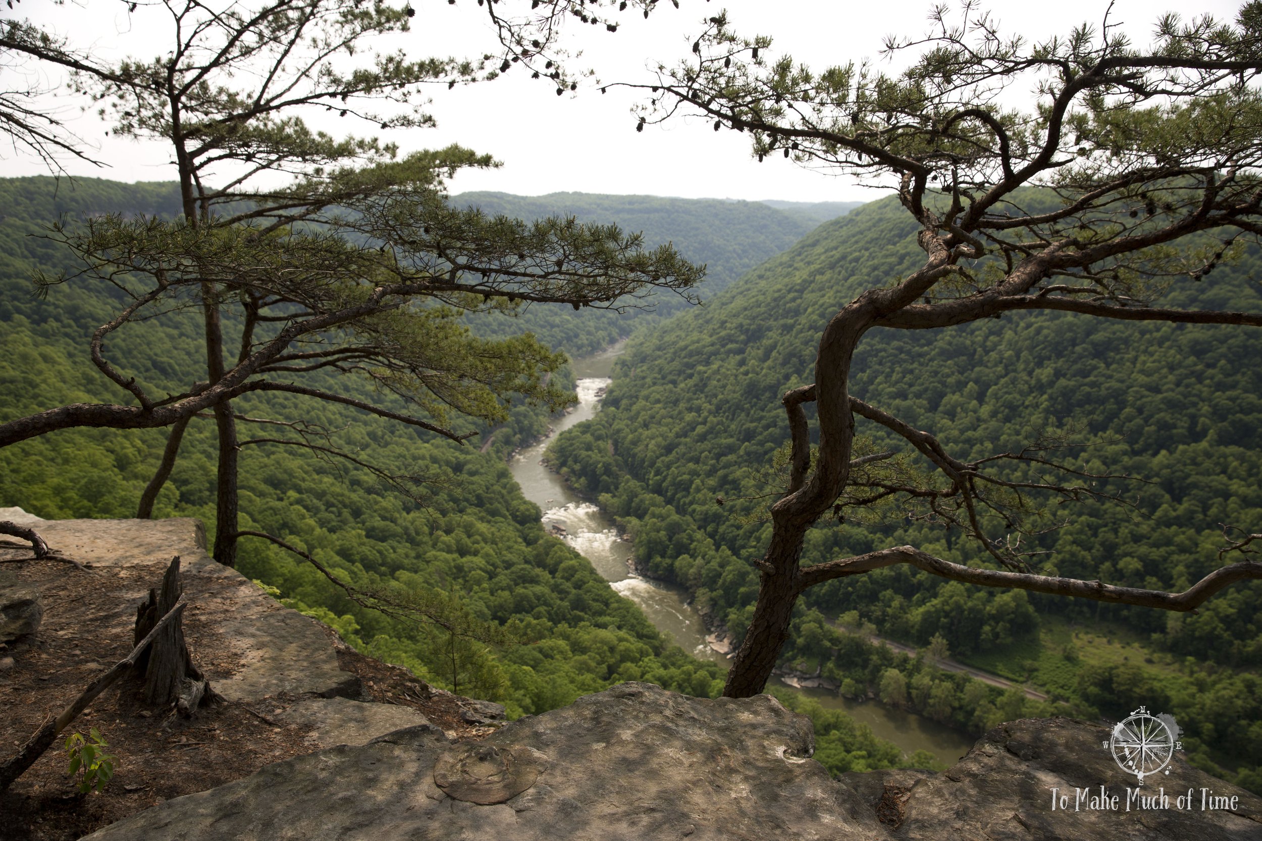
New River Gorge Bridge Overlook
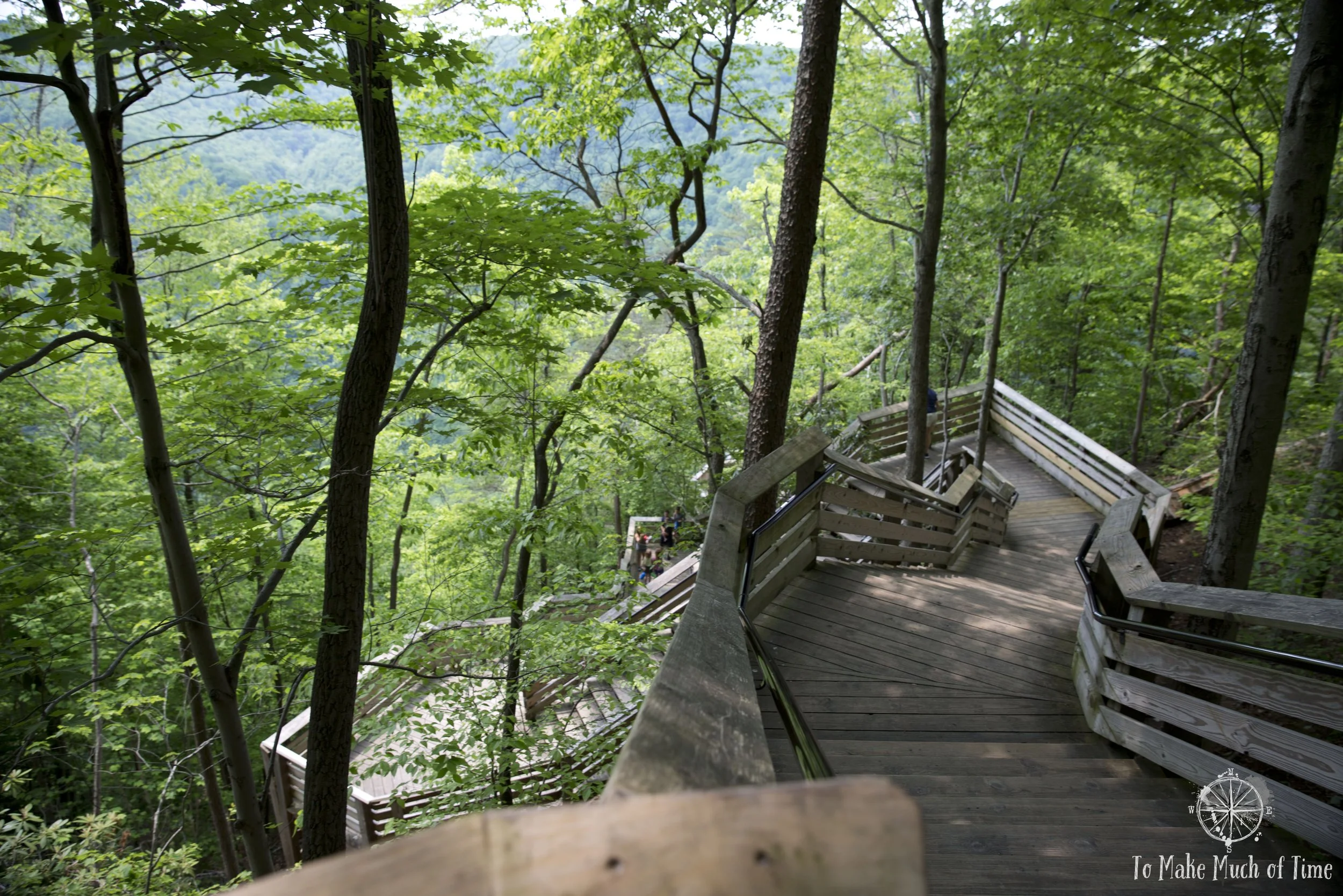
Off of the parking lot next to the Canyon Rim Visitor’s Center, tucked away in a forested corner is the access point to the New River Gorge Bridge Overlook. The trail starts as a boardwalk and is accessible, though on a slight downhill incline. There are railings along the side. At the end of this area is an overlook spot from which the New River Gorge Bridge is visible ahead. This is a great spot for photos. Unfortunately, this second day we spent in the area was one of those days where the sky is a bland gray/white, which is the worst lighting for photography. This was the start of the summer wildfires in Canada that sent swaths of smoke into the US. For those who wish to continue to the lower overlook, they must descent 178 stairs to a lower spot. The lower overlook offered a nice view with the bridge soaring even further overhead than at the upper overlook. Both of these are great ways to get a quick glimpse of the bridge without any of the trail hiking, where we also had great views.
The grassy area around the visitor’s center offers a nice picnic spot with tables dotting the lawn. Prior to checking out the overlooks, we enjoyed a leisurely lunch at one of the tables and spotted all sorts of dog visitors to the site – from large to small to a puppy in a backpack!

View from the New River Gorge Bridge Overlook - you can spot the overlook stairs towards the bottom right.
The stairs leading to the lower New River Gorge Bridge Overlook.

From the Overlook, the scene to the east was equally interesting!
The Overlook gets pretty close to the bridge.
Long Point Trail
Stuffed from lunch, we took the short drive to the trailhead for the Long Point Trail. This trail is considered moderate and is 1.6 miles one way (3.2 miles out-and-back). It is appropriate for both hikers and bikers, though bikes are not allowed the last fifth of a mile for safety. There is a very clear demarcation at this spot. This trail was a bit harder than the Endless Wall Trail in that there were some pretty steep uphill sections. They didn’t particularly phase us, but we met another couple huffing and puffing and clearly out of their normal element. What it all comes down to is knowing your own fitness level.
Long Point Trail was at times somewhat elevated with a boardwalk but was predominantly a ground-level dirt trail. And by dirt, I mean it was muddy in large segments. Stomping along in our hiking boots, none of this caused us any concern, but I’m sure some of our fellow hikers felt differently. I spotted someone in bright white (non-hiking) shoes, another in bright red shoes and someone in sandals. We also wondered if this trail might serve as a bit of a local dating location because several of these couples that were not dressed for trails left in their wake a strong smell of cologne and perfume. In any case, the destination of the trail was a beautiful look-out to the New River Gorge Bridge. This look-out, unlike the morning’s views, was not from along a rim but the entire trail jutted out onto a long thin-ish ledge with drop offs on either side and the bridge straight ahead from the end.

The rocky side near the end of Long Point Trail
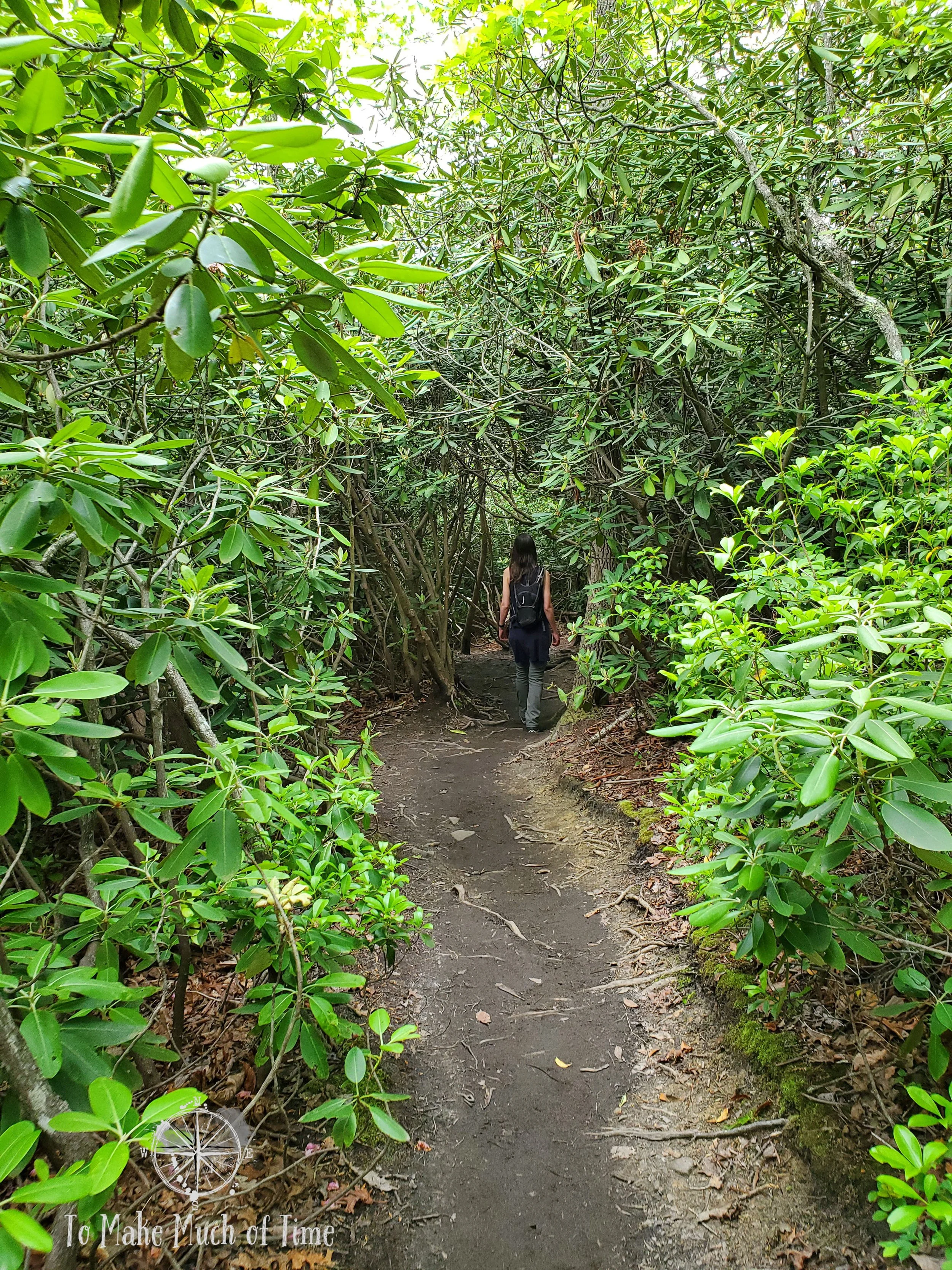
Hiking Long Point Trail
A view of New River Gorge Bridge from Long Point Trail’s end

View of the gorge from New River Gorge’s Long Point Trail

New River Gorge Bridge from the end of Long Point Trail
Aptly named, Long Point Trail ended in a narrow spot of land jutting out into the gorge.
When we got to this overlook spot, there were several groups of people already sunning themselves while taking in the views. One such couple had a large dog with them. They were seated on the edge with the dog laying down, its back a mere foot from the precipice into the abyss. Um no thank you. The dog was not concerned, perhaps not aware, and instead whined because he wanted to go play with the German Shepherd whose parents had him safely away from the edges.
What irked us a bit was that at the very end of the trail, right in the spot to take photos, a couple sat enjoying the views. Not a big deal. We could easily take a photo over their heads. But another woman was standing in front of them talking to them about how many national parks she had gone to. It was a situation where she wasn’t taking the hint: they weren’t engaging with her. When a newcomer asked her to take her photo, they then proceeded to stand right on the edge, directly in the direction of the bridge and chat, blocking multiple groups from getting their ideal shot. Ah the joys of people. At least the day’s lighting was sub-par so the sight wasn’t as nice as it would have been at another time. And yes, any one of us could have said something but the trail etiquette seems to call for people to be more aware of others.
Dustin’s foot had started hurting earlier in the day so while he powered through this hike, we decided we would forgo any others so we ruled out the Kaymoor Mines trail, which required some 800 or so steps down a staircase, and opted to drive about 30 minutes to Babcock State Park to check out its photographically famous grist mill.

New River Gorge Bridge from the end of Long Point Trail
Babcock State Park Grist Mill
Babcock State Park looks like a pretty spot for hiking and camping (or renting a cabin). For us, we just stopped to see the recreated grist mill, situated in an easily accessible spot by the main park headquarters. The grist mill is open sometimes but was closed during our visit so we just enjoyed its visage, snapped some photos and decided it was time to call it a day.

The wheel at Babcock State Park Grist Mill

Babcock State Park Grist Mill along the river
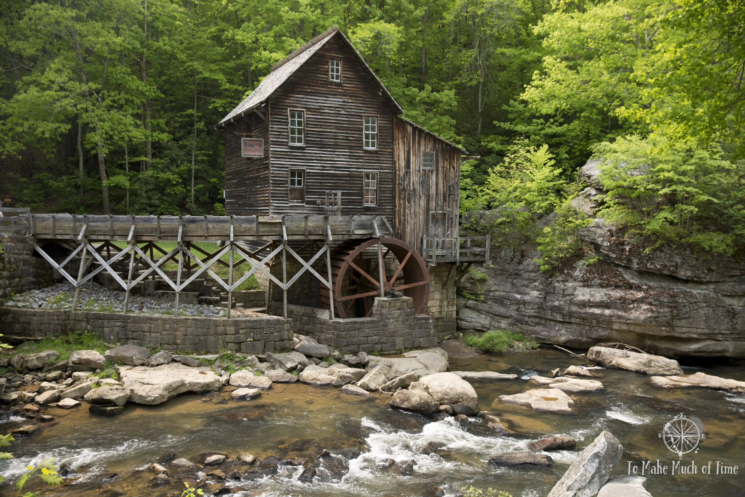
Babcock State Park Grist Mill

Babcock State Park Grist Mill in black and white
Our driving route day 2:
Click the image below to save this post to Pinterest!
Check out other posts in this trip series:


