
Pocahontas County, WV: Greenbrier River Trail (Day 4)

Related blogs: Want to read more about our travels in West Virginia? Also, this post is part of a 5-part series. Check out the overview of this four-day West Virginia trip here!
Note: Some links throughout our site are affiliate links, which means we may receive a small commission at no cost to you.
On our final day staying in Watoga State Park in West Virginia, we checked out the Greenbrier River Trail and rode a chunk of the route on our bikes. The day started out a tad overcast so we headed from our rustic cabin to the trail head, a short distance away, cognizant that time was likely not on our side.

The first bridge we crossed, just north of Seebert.

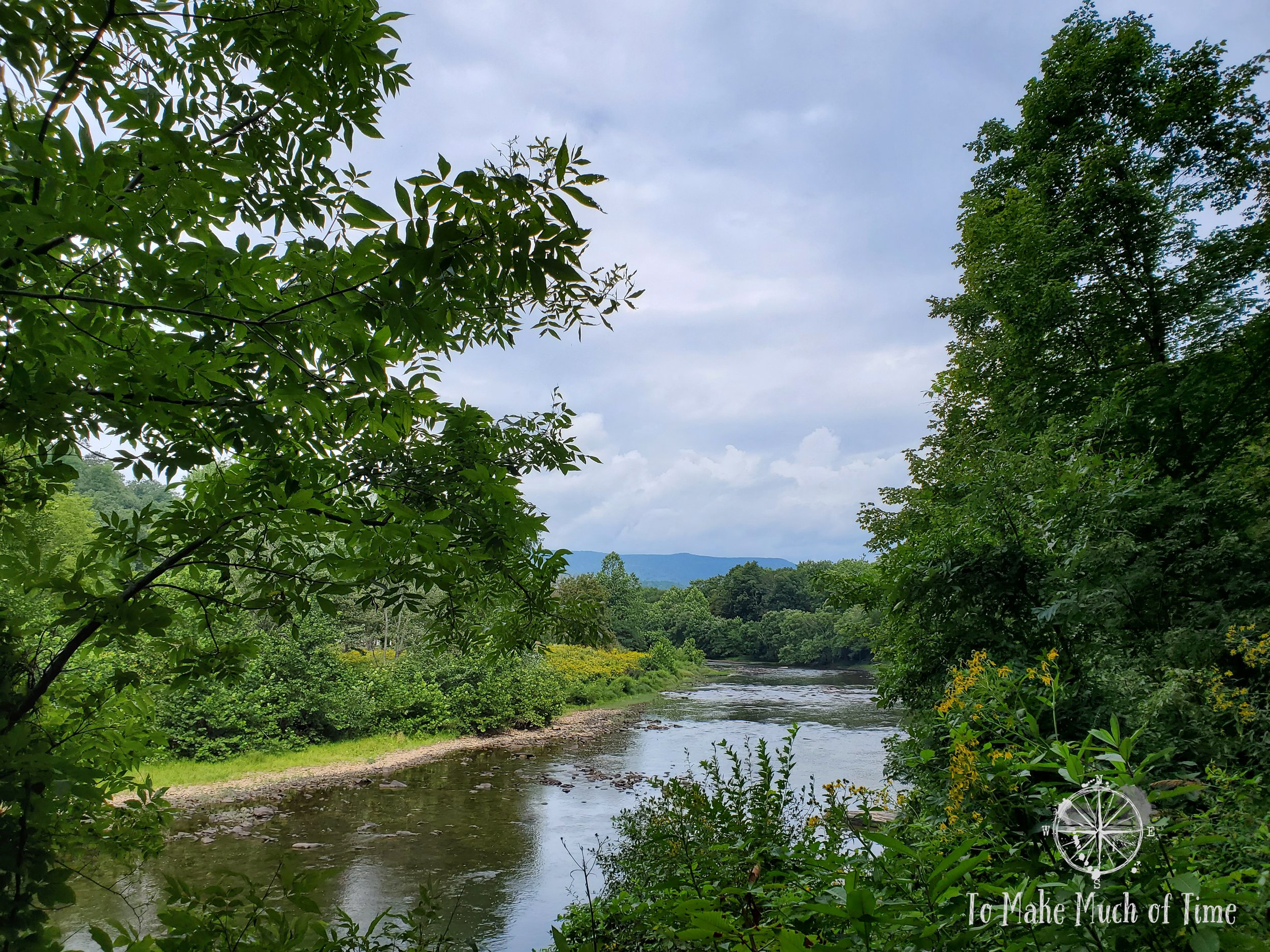
Misty skies as storm clouds threatened our ride.
an overview of the greenbrier river trail
The Greenbrier River Trail runs 78 miles from Cass, WV, in a SSW direction to near Caldwell, WV. It runs through and/or alongside Monongahela National Forest, Calvin Price State Park, Watoga State Park, and Seneca State Forest. This is a rails-to-trail meaning the route has a very minimal grade - typically about 1% - making it enjoyable. The trail is open for use to hikers/walkers, bikers, and horse riders.
There are a number of amenities along the way. There are roughly 10 campsites located along the length of the trail and periodic bathrooms, water sources, and picnic tables.
The trail crosses 35 bridges, enters two tunnels, and weaves through small towns and countryside. Along the route are various informational placards, bringing the history of the area to the attention of visitors.
There are easy-to-spot mile markers dotting the trail and “W” whistle posts from where trains used to cross and would sound their whistles. We read that people often whistle on the trail when they see these posts, so of course I couldn’t help but partake.

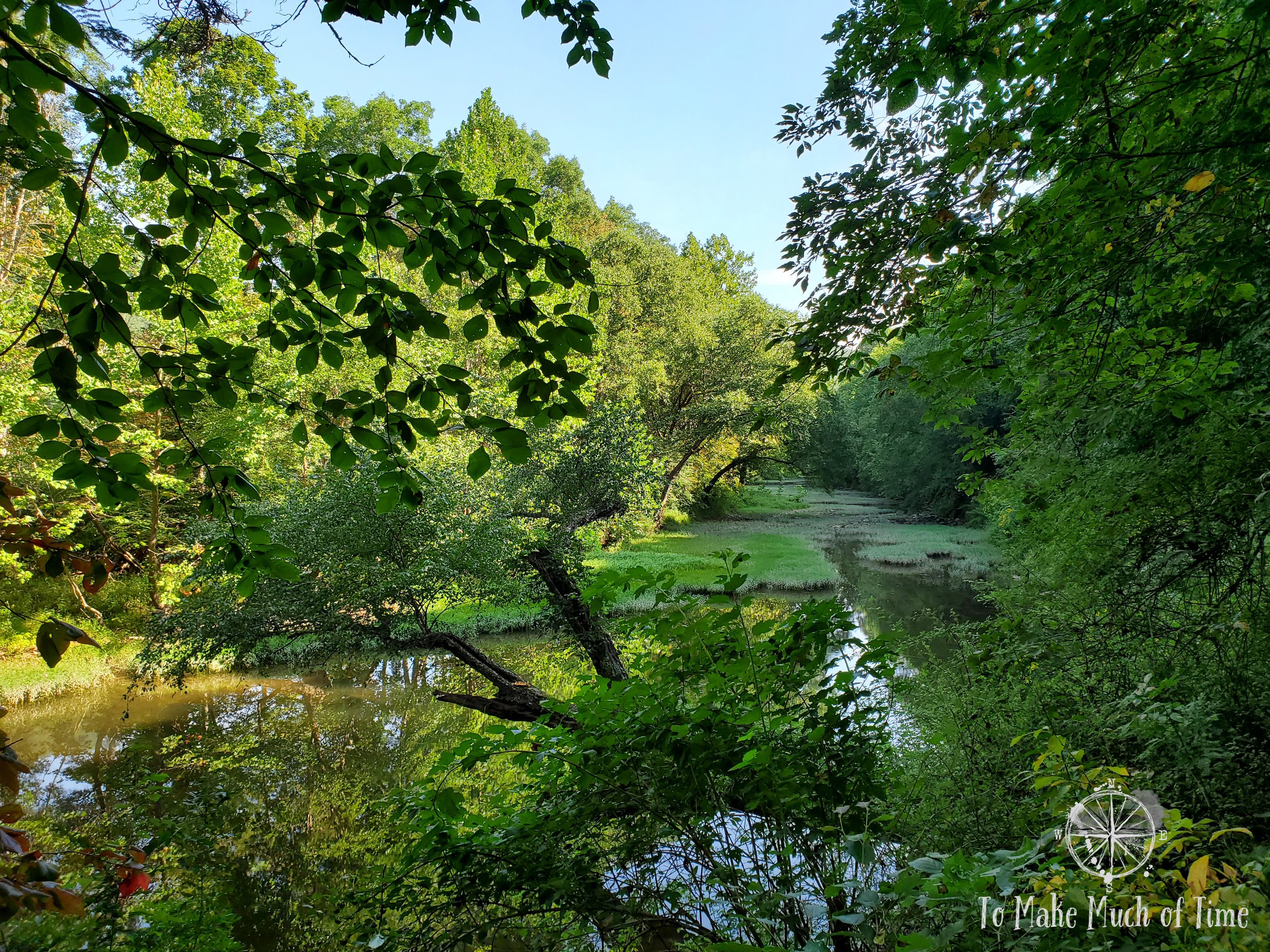
A campsite along Greenbrier River Trail, just north of Seebert.

The campsite sits above the river, which you can see if you look carefully past the tent spot.
our experience on the greenbrier river trail and its history
We accessed the trail in Seebert, the closest entry point from our stay in Watoga State Park. There was a decent sized gravel parking lot that we had scoped out a few days prior and was very easy to find in the tiny town of Seebert. We rode 7 miles north and turned around a couple of miles shy of Buckeye, for a 14-mile round trip bike ride.

Greenbrier River Trail entrance from the gravel parking lot in Seebert, WV.

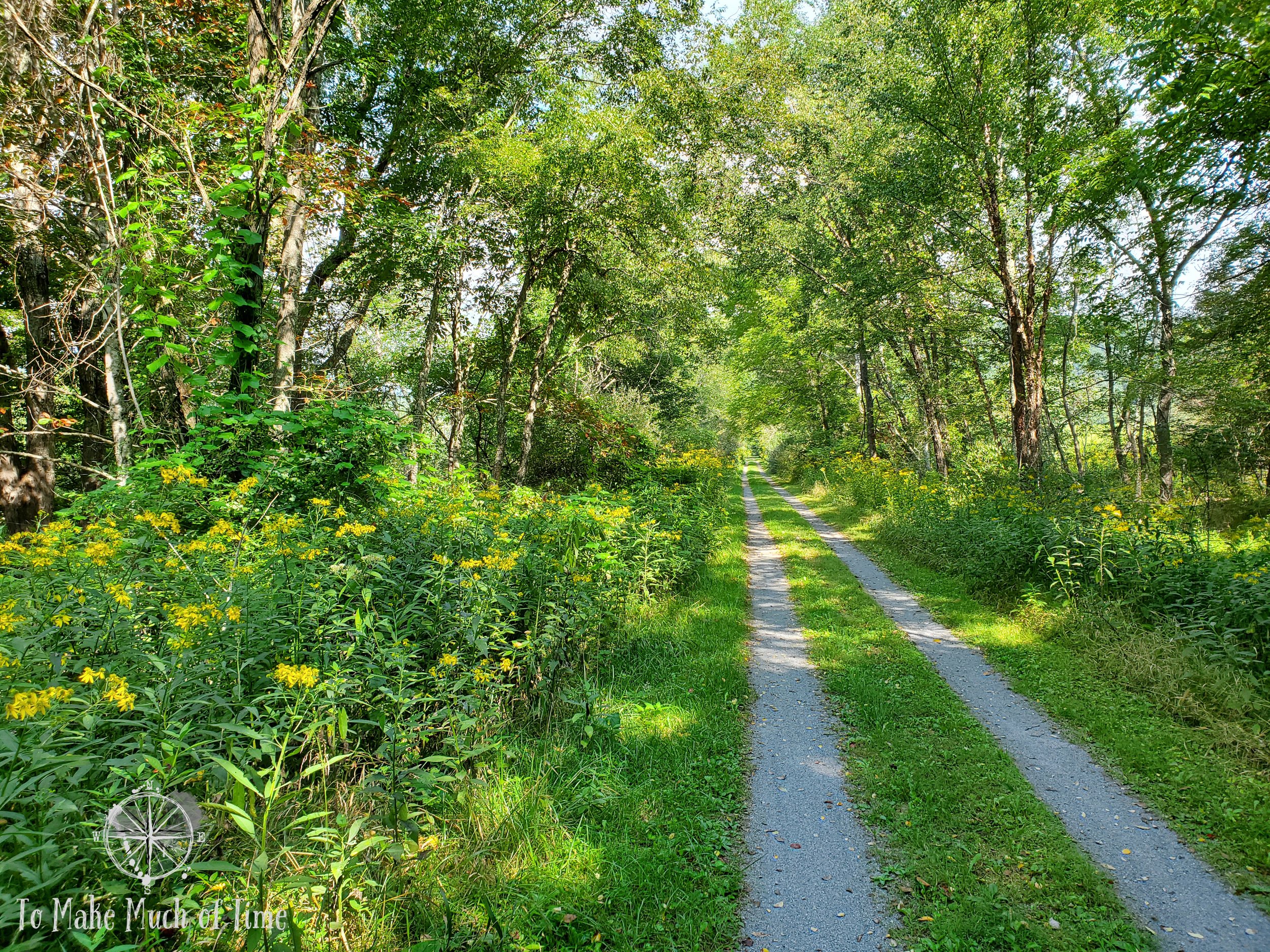
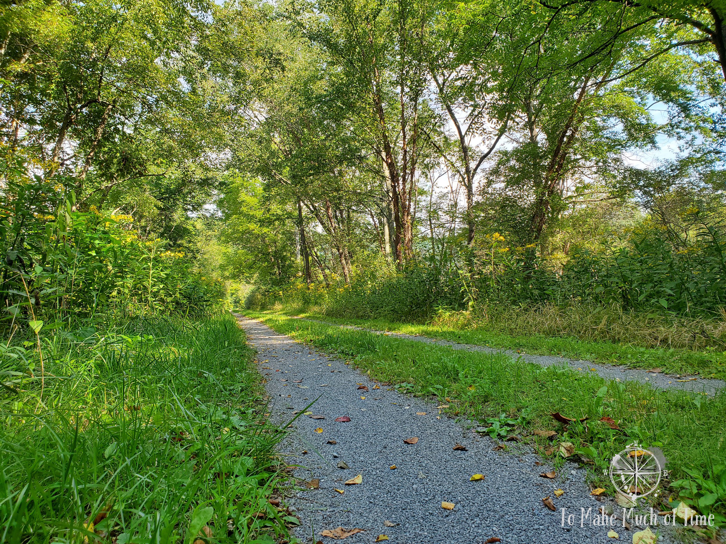
Most of the trail was comprised of fine gravel.
One of the most picturesque sights along the way was a large suspension bridge that was both pretty itself and provided open views of the river and mountains. A placard near the bridge told of a 1925 freight train crash at the spot. Just prior to reaching the bridge on May 4, 1925, a boxcar derailed, and the train, loaded with heavy brick, hit the edge of the bridge and caused the span to collapse into the river. Fortunately, no one was injured. This reminded me of a soaring suspension bridge we hiked to while in Cloudcroft, New Mexico (read that post here), that had had a similar disaster, though with a worse outcome. Moral of the story: trains and bridges are not a great match!

Suspension bridge along Greenbrier River Trail

Suspension bridge along Greenbrier River Trail

A photo op is a good reason to stop for a few!

Suspension bridge along Greenbrier River Trail

The bridge tresses cast shadows in the Greenbrier River.
The same placard explained the purpose of the original C&O Railway that ran along the now-path. It functioned to serve sawmills and tanneries along its route while also hauling lumber from harvested trees. By the 1920s, nearly all virgin trees had been removed.
The ride itself was nothing short of beautiful. The trail was sometimes a bit of a dirt/gravel patch through grass, at other points a more established gravel path. Dustin has a mountain bike, and mine is a hybrid that is between a mountain bike and road bike. In each of our cases, we had good tires and no issues with slippage. We caught the tail end of summer flowers along the sides of the path and enjoyed following along and crossing the Greenbrier River.
The areas between the small towns were quite rural and on the edges of town had sporadic houses dotting the path. One area that is looks completely untouched by human hands is the spot that was once a separatist community of African American coal miners. A group of 51 individuals settled in an abandoned timber camp in 1922 as a way to escape violence from the Ku Klux Klan and created their own community that was self-sustaining. The placard said the ruins of the general store were visible, but we were unable to spot it - to us, it appeared nature had fully retaken the spot.
The only other people we saw appeared to be locals who were walking. I think this is a function of us traveling in September after the peak summer travels and on a weekday. In any case, we are always happy to have more solitude rather than less!
I’m not going to lie: our behinds were incredibly sore from the bike seats since we haven’t biked much recently so we’re fortunate to have not gone any further! And even luckier, the gray, threatening skies that had followed us on our ride opened up into a short drizzle as we got to the car and, moments later, a full downpour. Couldn’t have planned our timing better if we’d tried!
We talked about coming back to do the entire trail on our bikes. If you plan well enough, you can even stop along and spend nights in B&Bs or state cabins along the route. Of course, that would also require us to build up some better bike seat tolerance! While we figured we’d have to coordinate vehicles - unless we wanted to bike point-to-point and then return - we have since discovered that there are outfits that offer shuttle rides to assist in the logistics. Maybe this is a trip we can plan for the future!
Click the image below to save this post to Pinterest!
