
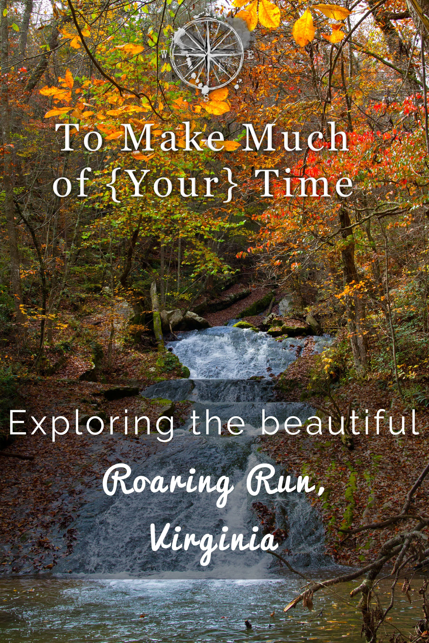
Hiking Roaring Run Furnace and Waterfall in Southwestern Virginia
An old stone and iron gate mark the entrance to Roaring Run.
UPDATED: 2/5/2023
After nearly eleven years living in Roanoke, Virginia, we have uncovered some hidden gems of the hiking world nestled away in the George Washington and Jefferson National Forest. Our latest destination: Roaring Run Furnace, which was a surprisingly scenic and beautiful hike, particularly during the last gasp of fall’s glorious colors. Add in an ounce of history (read more about that below!), and this is definitely a new favorite hike for us!
If you want to add a second hike to your list, check out our post on Fenwick Mines and consider incorporating both Fenwick Mines and Roaring Run Furnace hikes into your scenic drive that we discovered and that you can read about here.
Fall leaves were almost past their peak on this fall day.
Take the Streamside trail leading away from the furnace. It is a loop but this direction gives you the best views of the river, and you will end up at the furnace.
Stop for a picnic lunch… and eat at a really long picnic table!
what is roaring run furnace and where is it located?
Primarily spanning the mountainous, sparsely populated region between Virginia and West Virginia, the George Washington and Jefferson National Forests contain a number of hikes and outdoor activities. Roaring Run Furnace is in the portion of the national forest that sits in Botetourt County, Virginia, about 15 minutes from the small town of Eagle Rock, and a little under an hour from Roanoke. (Pronunciation tip: Botetourt is pronounced bot-eh-taught.)
Roaring Run Furnace is the site of a former iron furnace that operated in and around the 1840s, and this site is the only spot within the massive George Washington and Jefferson National Forest’s jurisdiction that is registered as a historical place, making it unique and an interesting spot to visit!
Roaring Run River follows a large section of the trail.
Fall leaves against the white clouds look unnatural!
roaring run furnace’s best kept secrets
About half of the hike at Roaring Run follows the Roaring Run River with a multitude of small waterfalls and interesting rock formations along the way. Every time it seemed we were getting to the most picturesque part of the waterfall, the path kept going ahead, leading to even more surprises and sights!
If you are interested in geology, which is an interest of Dustin’s, you will find this hike to be fascinating. Not only is the terrain naturally rocky, but there are significant and large layered outcroppings along this hike, particularly during its first half along the water. The geological formations only add to the picturesque nature of the hike.
At the end of the hike, you will round a bend of the hike and find yourself viewing the original iron furnace from the 1840s. After a less scenic hike through the woods, the site is unexpected and much larger than most visitors would expect. Still visible are many portions of the broader iron works, and a helpful placard provides a drawing of what the original site would have looked like in its heyday and which portions are still visible today, making it easier to fill in the gaps and bring the site to life.
Yellow and orange contrast beautifully against the green ferns.
The trail passes over several bridges to cross Roaring Run.
Most of the trail is pretty flat, but there are sections with stone steps and large rocks.
the history of roaring run’s iron furnace
While today’s Virginians likely don’t know this fact, the state was actually a significant producer of iron during the 19th century. Roaring Run Furnace, erected just before 1840 and operational for a decade or two, is a monument to this industry. Iron was an important facet of life in the 19th century and was used in both construction (e.g., nails) and destruction (e.g., cannonballs), amongst other objects.
The production of iron itself was definitely destructive to the natural environment. At Roaring Run Furnace, an acre of trees was burned per day (in the form of charcoal) to operate the furnace. In my research, I found that it may have been typical for a furnace to be used anywhere from four to nine months of the year (based on weather), which would have resulted in a minimum of 120 acres of trees being destroyed per year.
Basically, the way a furnace works is that coal, ore, and limestone were layered inside the furnace, raising from the bottom to the top of the furnace’s chimney. Heating the layers resulted in two products: slag, which is basically the junk being removed from the mixture, and molten iron, whose creation was the goal. The molten iron flowed into a large sand-lined pit (called the “sow”) and smaller side trenches (called “pigs”) and so the iron was known as “pig iron”.
The end result: lots of iron to support various endeavors and denuded forests felled in a short period of time. As is generally the case with human enterprises, there is a substantial cost to nature.
If a tree falls in the forest…
The splash of water fills your ears throughout much of this hike.
The first of several bridges. I’m not sure how old the stone work is, but it looks old.
what to do and what to expect when hiking at roaring run furnace
Getting to Roaring Run Furnace is easy by following GPS directions. The parking lot itself is fairly large. When we visited, there were about 7 other vehicles there with room for plenty more. At the end of the parking lot are some stone walls and gates labelling the site of Roaring Furnace and a short ways past that visitors will see the bathrooms (closed as of October 2020 due to COVID) and a display with a trail map and information.
The hike at Roaring Run is essentially two 0.75 mile trails that meet just before the top of the waterfall. There is a branch of the trail that continues on to the waterfall’s peak that requires hikers to double-back to the point where the two trails connect. While you can hike the trails in either direction, we would recommend taking the Streamside Trail first (with the trailhead to the left of the bathrooms and map) and then connecting to the Woodland Trail. This route will create an increasingly beautiful hike alongside the river all the way up to the top of the falls. From there, the Woodland Trail is a more serene walk through the woods with a final surprise up its sleeve: the furnace itself at the end of the trail.
Dustin once again wishes he had a time machine. To see this in use would be awesome!
Roaring Run Falls is an awesome waterfall and well worth a visit.
This old iron furnace used to be used to extract iron from iron ore… just imagine the heat radiating when this monster was in use.
While there is an elevation climb, it is not particularly steep or difficult. I would define this trail as easy. There are a number of bridges, raised walkways, and stone steps along the way, which add both visual interest as well as enjoyable photographic elements to the environment. There are plenty of protruding rocks and tree roots, so I always think its smart to wear hiking boots to avoid twisted ankles or to bring hiking sticks if that is your preference. Some of the rocks on the path were coated with wet leaves (it had rained the day before), and those rocks were quite slick, so it’s important to be aware of your footing.
From when we left our car to when we returned, we spent a solid two hours on the trail, which is much longer than the trail would take for someone simply there for a hike. We stopped to take photos and take in the scenery a lot and also spent more time in a few spots to avoid having to pass other hikers too closely (again, COVID precautions). Back in the car, we enjoyed a late lunch picnic after working up a solid appetite!
Be aware that Roaring Run is largely shaded by trees and is at a bit of a higher elevation than, say, Roanoke, so it might be 5 to 10 degrees cooler here. Dress accordingly!
Be careful on these steps; they aren’t exactly even.
Smile for the camera! In this image Lindsey finally discovered where the camera lens is on my phone so her eyes are looking in the right direction.
The second half of the trail takes you around and up out of the stream valley for some beautiful mountain views.
As you head farther out on the trail, the waterfalls get larger and larger.
hiking roaring run furnace - accessibility
The hike we described above - taking the Streamside Trail to the Woodland Trail - is not accessible to those with limited mobility. However, we have some good news: If a visitors takes the Woodland Trail (to the right of the bathrooms and map), the furnace itself is immediately visible, and the path to it is very smooth and meant to provide greater accessibility. Visitors with limited mobility can easily get to the front of the furnace and access both information placards. In fact, while we were viewing the furnace ourselves, a man who worked for the forest department had a leaf blower and was clearing the trail up to and including this section to ensure it was safe and easy for visitors to access it.
Dustin loved this limestone outcropping!
You should always stop and admire awesome rock formations.
See what I mean? Pretty cool right?
Autumn leaves reaching for the sky.
Traces of red likely indicate iron locked in these rocks.
A brilliant display of orange pops against the blue sky.
Click the image below to save this post to Pinterest!

Check out our other posts about Virginia:


There is plenty of adventure waiting…