
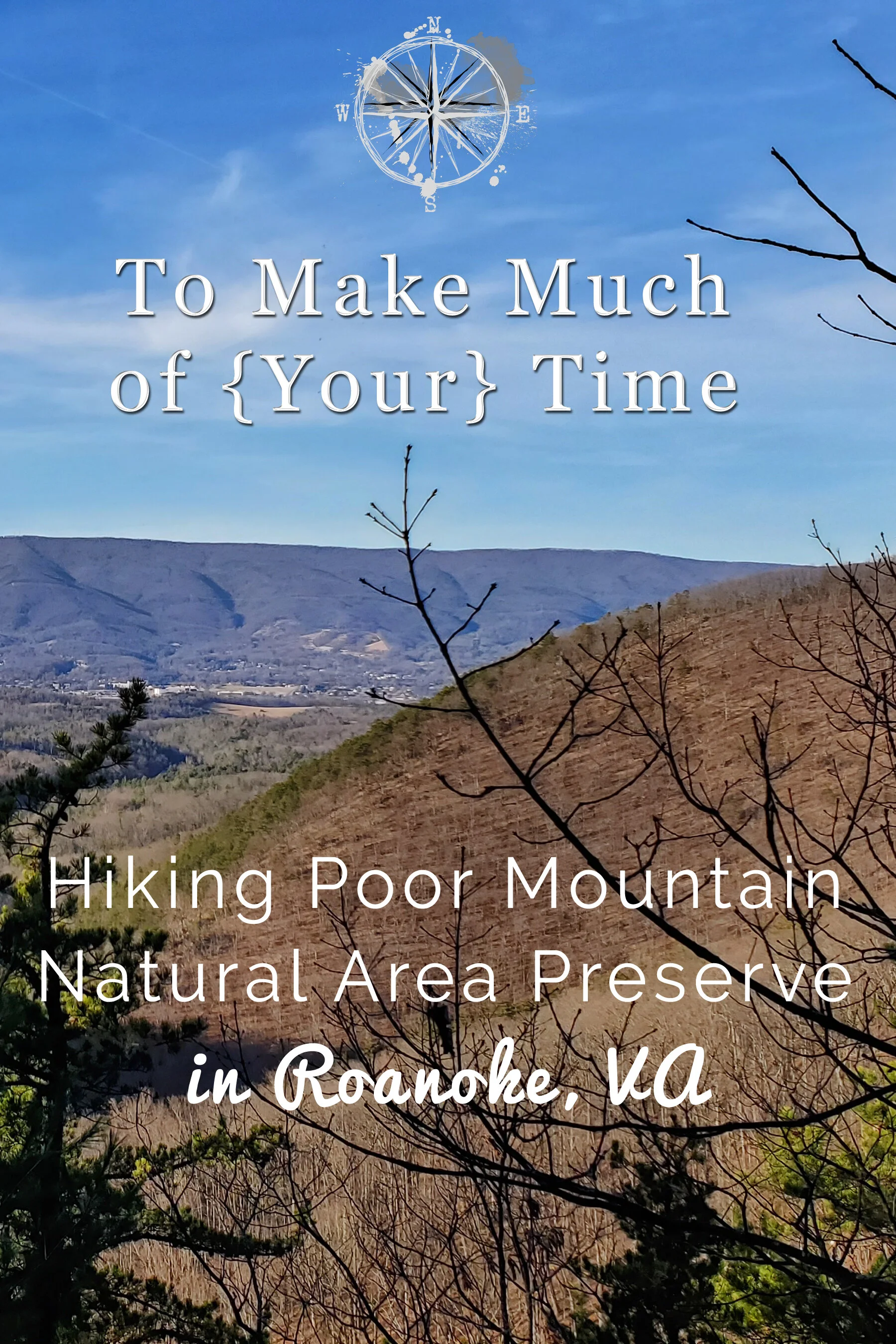
Hiking at Poor Mountain Natural Area Preserve in Roanoke, VA

Virginia can be pretty at any time of the year.
UPDATED: 2/5/2023
Note: Some links throughout our site are affiliate links, which means we may receive a small commission at no cost to you.
When the weather in Southwestern Virginia hits the mid-60s in late December, you don’t ask any questions, you just head outside and get some hiking in while you can!
Below we’ll provide some information about Poor Mountain Natural Area Preserve - its location, information on the 4 trails within the preserve, parking tips, information on what to expect when you visit, and tips for hiking with kids and dogs.
Hiking at Poor Mountain Natural Area – Our Adventure
After spending five relaxing yet slothful days at Oak Island beach in North Carolina, we realized we had a deep seated urge to exercise and do some exploring upon returning home. Having lived in Roanoke for a decade, we decided to find a new hiking spot that would offer a short afternoon hike and happened upon Poor Mountain Natural Area Preserve. The preserve is 925 acres and offers 4 interconnected hiking trails.
After a relaxing morning working on blog posts to be released in the upcoming weeks and eating lunch, we headed out at what seemed to be a perfectly reasonable time to go hiking - 2:00pm, conveniently forgetting that this is the darkest time of the year… more on that miscalculation later. Following the Google Maps marker for the Poor Mountain Natural Area Preserve, we found that getting to this location to be very easy, although the roads progressively got smaller and more windy as we weaved our way up into the Blue Ridge Mountains just southeast of Roanoke.
Upon arrival we found that the parking lot itself is fairly small and has a steep entrance. While most vehicles there were SUVs, there were a few cars as well. There were spaces for probably about 15 vehicles tightly squeezed in which were, of course, all taken when we first arrived! It looked like we might have to give up, but as luck would have it, we saw a couple with two dogs headed for a vehicle and so were able to take their spot. We arrived mid-afternoon around 2:30pm, which is the warmest part of the day, so a different arrival time or a less warm winter day probably would have yielded more parking spots.
Happy to find a spot, we headed to the end of the parking lot and set off on the only trailhead leading into the preserve. While there are technically four trails at the preserve - (1) Piratebush Loop Trail (0.8 miles); (2) Overlook Trail (0.7 miles); (3) Cascade Trail (1.0 mile); and (4) Canyon Trail (0.9 miles) an easier way to think about the trail options is that there are two loop trails: (1) Piratebush Loop Trail; and (2) a loop that combines a portion of Piratebush until it connects up with Cascade Trail which connects to Canyon Trail, which connects to Overlook Trail, which then reconvenes with a portion of Piratebush to return to the parking lot. (see map below)
Do you prefer a long hike or a short hike? If you plan on heading along the blue trails be sure to plan for several hours of hiking.
We headed down the path at a decent (though not particularly steep) incline, which took us through a typical Virginia new growth forest filled with bushes and gangling young trees. We hiked for a while at which point the trail curved down a steep slope to the left. A little ways onward is an information stand with details on the preserve, its plant life, and a map of the trails. This was a welcome sight for us because we had had trouble finding a good map of the entire preserve and were having trouble visualizing exactly what to expect from online descriptions.
At this point we had to make a choice: take the Piratebrush trail or the Overlook Trail. Since we had planned on doing the entire circuit anyway we arbitrarily elected to head uphill along the Piratebrush Trail, which followed the ridge-line. The path is reasonably wide and free of major tripping hazards but, as you would expect in winter, was covered with a thick layer of leaves and pine needles.

Ponder the direction to take while relaxing on a bench.
Continuing on from there, we quickly came upon a divergence in the path. Basically, this is the loop portion of Piratebush Loop Trail that will go around the curve of a hilltop. You can go either direction and will end up back at the same place after a short hike. We chose the right path and connected to the Cascade trail after about .23 miles.

While I prefer trees with leaves, winter gives the hiker the chance to see views that would be obscured at other times of the year.

The path is well maintained but watch your step. Leaves can be slippery.

Winter in Virginia is always a bit bleak, but there are some views worth seeing at any time of the year.

Winter hiking in Roanoke.
Upon arriving at the Cascade trail, we noticed a marked difference in path difficulty. As you might have noticed by looking at the map, the Cascade trail features a myriad of switchbacks, which led us down the mountain at a somewhat steep incline. While taking small steps to avoid slipping on the bed of leaves, we worked our way down the slope enjoying gorgeous mountain valley view’s along the way. I imagine this would be even prettier in the fall when colorful leaves would paint the scene with brilliant fiery tones.

Branching off from the Piratebrush trail is the much longer (and more strenuous) Cascade trail.

Like switchbacks? There are plenty along the Cascade trail.
As we reached the bottom of the mountain, we noticed that the sun was beginning to reach the horizon and realized that we were not going to be able to hike the remaining 3 miles of trails before dark. At this time of the year the sun begins to set around 4:30 and it is quite dark by 5. Night time hiking on unfamiliar trails is never a smart decision, so we made the painful (both literal and metaphorical) choice to turn around and hike back up the steep trail we had just descended in order to get back to our car with plenty of daylight left. In retrospect, I believe we should have kept going for a bit longer because we could hear the stream flowing near the trail below us. I think if we had gone a bit further we would have made it to the cascades and would have been able to see the waterfalls. I guess this will be something to look forward to for our next hike! Come spring (or perhaps the next warmish winter day) we’ll have to revisit this area and complete this great trail.
About Poor Mountain Natural Area Preserve
The preserve is 925 acres and offers 4 hiking trails, several of which are only accessible via other trails.
The mountain is named Poor Mountain is due to its poor quality acidic soil. While it isn’t great for farming, this area is a wonderful hiking spot.
The preserve is a great location to observe plants such as the rare piratebush. Of course during our winter adventure many of these plants have either died back or are in their scraggly winter attire and would make it worthwhile returning in the spring (or the fall, when the piratebush turns yellow).
A stream flows through the middle of the preserve and features small waterfalls.
Getting to Poor Mountain Natural Area Preserve
Poor Mountain is located in southern Roanoke County. It is sort of due south from Salem, VA, and can be approached from either the west (Interstate 81) or the east (Bent Mountain Road). We found the Google directions affiliated with this location accurate in getting us right to the parking lot. In our case, we were headed from the east and found the directions easy to follow. The parking lot and trailheads are located on State Rt. 694, so if Google is leading you to a point there, you should be on the right track!
The last few miles of roads headed to the preserve climb up fairly steep hillsides with drop-offs on the side of the road. This is probably a road I would avoid in icy weather since there are no guardrails. While the road is mostly two lanes (one in either direction), closer to the trailhead, the road got narrower and felt more like a 1.5 car width road.
Parking at Poor Mountain Natural Area Preserve
The parking lot itself is fairly small and has room for about 15 cars. Based on our experience this seems to be a popular hiking location so you should plan your trip accordingly an arrive earlier in the day.

Parking was tight, but we managed to squeeze in along with everyone else.

The turnoff into the parking lot is well marked.
Hiking Trails at Poor Mountain Natural Area Preserve
There are technically four trails at the preserve - (1) Piratebush Loop Trail (0.8 miles); (2) Overlook Trail (0.7 miles); (3) Cascade Trail (1.0 mile); and (4) Canyon Trail (0.9 miles).
However, an easier way to think about the trail options is that there are two loop trails: (1) Piratebush Loop Trail; and (2) a loop that combines a portion of Piratebush until it connects up with Cascade Trail which connects to Canyon Trail, which connects to Overlook Trail, which then reconvenes with a portion of Piratebush to return to the parking lot.
The Piratebush trail is fairly easy while the other trails become more difficult and are often described as moderate due to their reasonably steep changes in elevation.

A few benches along the Piratebrush loop allow leisurely hikers to relax and just take it all in.
the short trail: The piratebush loop trail
The Piratebush Loop trail is less than a mile and a relatively easy trail. As described above, you can find and follow this trail directly from the parking lot’s trailhead. The trail is not particularly difficult and would likely be a good trail for a nice walk in the woods with kids and/or dogs (we saw both). At 0.8 miles in length, this trail will likely take 20-25 minutes or so to walk, depending on your pace and the number of times you stop to take pictures or take in the scenery.
We found there to be enough variability in this path that it is an interesting and worthwhile walk. There is also a park bench about halfway through the loop trail for those wishing to sit and rest or to bask in the glory of nature.
Off this loop trail, there are a few placards identifying the piratebush and mountain laurel plants. We saw what we believe were the mountain laurels, though they were not blooming due to the season. And while we looked up images of the globally rare piratebush online, we don’t think we saw them so imagine they must not have leaves in the winter. We will have to return in the fall when they are yellow so that we can better see them!
We also heard one or more woodpeckers pecking away at a tree as we hiked in the preserve.

Peeking through the trees you can catch a glimpse of the valley below.
the long trail: a loop combining piratebush trail, cascade trail, canyon trail, and overlook trail
This route is approximately 3.5 miles and includes all trails at the preserve except for a tiny portion of the Piratebush Loop Trail that you’ll miss. As noted above we were not able to complete our hike due to time constraints (stupid early winter sunsets) so we will not be able to describe the Canyon Trail or Overlook Trail at all this go-around, but we will be able to describe the majority of the Cascade Trail and how we combined that with the Piratebush Trail for a 2.5 mile hike that may be a good option for those wishing for a longer, more difficult hike than the Piratebush Trail itself but not able to do the entirety of the long loop trail.

Click the image below to save this post to Pinterest!
Check out our other posts about Virginia:


Enjoy hiking and adventure?
Check out our amazing trip to Malta. This day we explored the island of Gozo and had an amazing hike along these limestone cliffs.